Idar-Oberstein Loop
A road cycling route starting from Birkenfeld
Cycle through the beautiful landscapes of Birkenfeld and visit the historic Bismarckturm in Idar-Oberstein.
Map
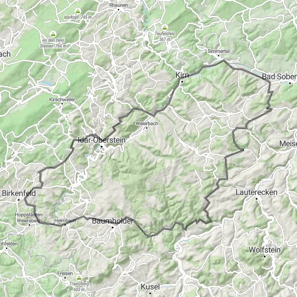
The Idar-Oberstein Loop is a scenic cycling route that takes you through the picturesque landscapes of Birkenfeld. The highlight of the route is the visit to the historic Bismarckturm in Idar-Oberstein. This tower offers stunning panoramic views of the surrounding area. The challenging ascent and distance make this route suitable for well-trained amateur cyclists. With a difficulty rating of 4 and an epicness rating of 3, this route offers a fulfilling cycling experience. The highlights along the route include Kirn, Hellberg, Klobber Berg, Bärweiler, Herren-Sulzbach, Niederalben, Windfang, Baumholder, and Nahetal.
road
111 km
1790 m
Tough
Route profile
Highlights on the route
0 km
0 km
Start: Dienstweiler Village centerBirkenfeld: Diverse landscapes and cyclist-friendly infrastructure make Birkenfeld a great cycling destination.
Birkenfeld is a town located in the Koblenz region of Germany. From a cyclist's perspective, it offers a mix of flat and hilly landscapes, catering to both road and gravel cyclists. The town itself has cyclist-friendly infrastructure and there are several well-maintained cycling routes in the area. One notable cycling spot close to Birkenfeld is the Saar-Hunsrück Climb, which provides cyclists with a challenging ascent and rewarding views. Overall, Birkenfeld ranks as a 4 in terms of cycling friendliness and is recommended for cyclists looking for diverse terrains and scenic routes.17 km
17 km
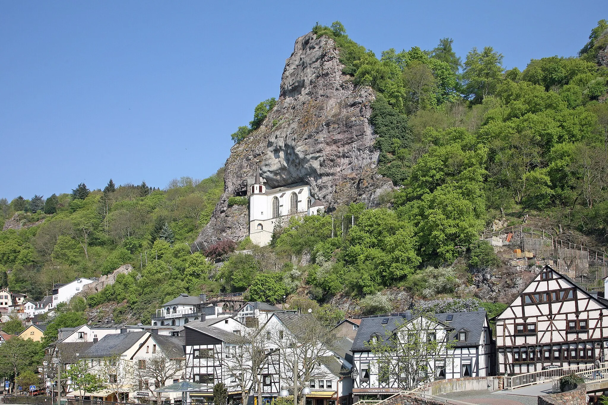
Bismarckturm Idar-ObersteinViewpointLocated in Idar-Oberstein, the Bismarckturm offers breathtaking views of the surrounding landscapes.
36 km
36 km
KirnTownLocated in Kirn, this town offers historical and cultural attractions.
39 km
39 km
Hellberg365 mPeakThe Hellberg is a scenic spot with lush greenery and beautiful views.
49 km
49 km
Klobber Berg229 mPeakKlobber Berg is a popular cycling destination known for its challenging ascent.
56 km
56 km
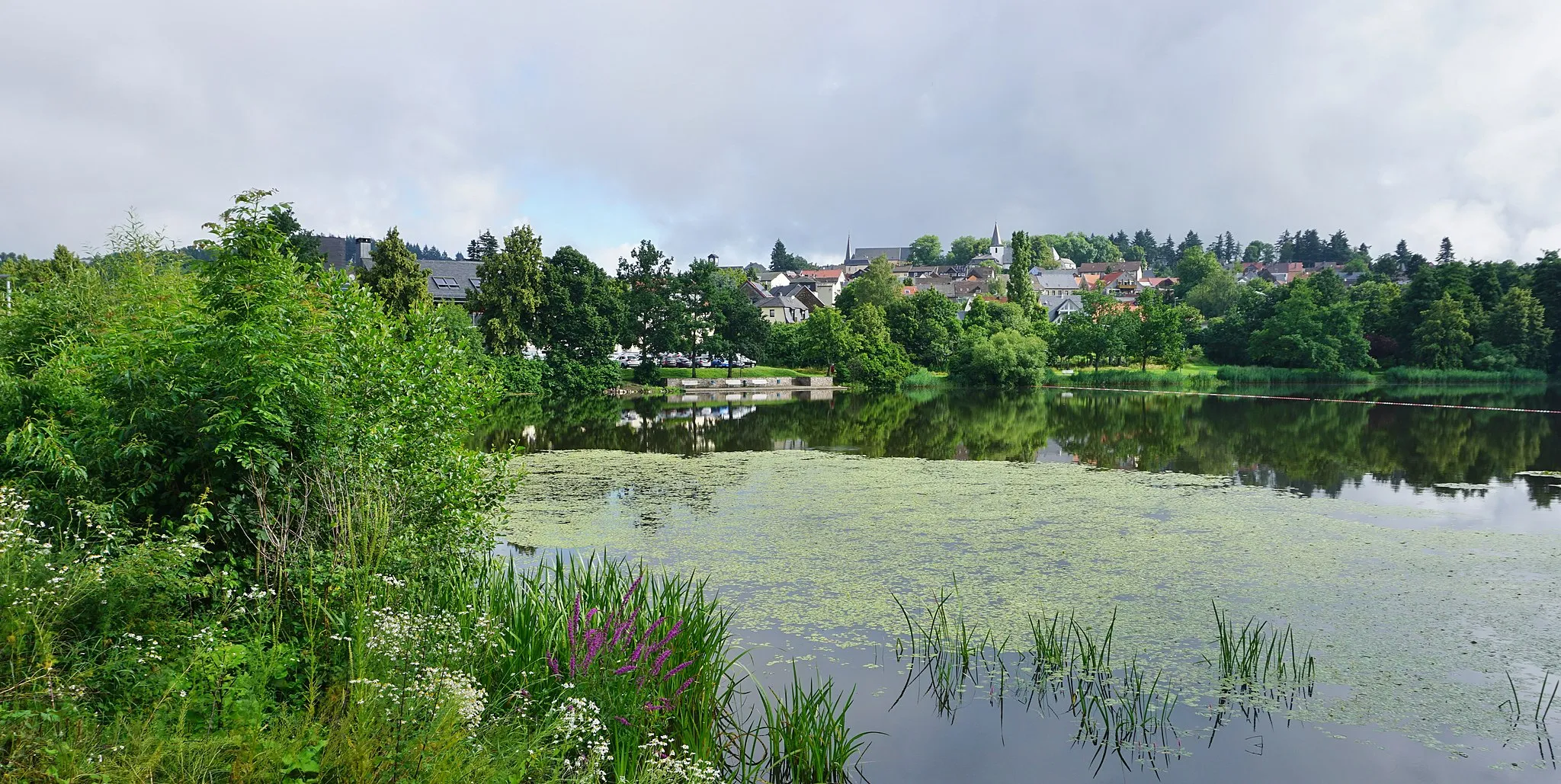
BärweilerVillageBärweiler is a charming village with traditional architecture and a peaceful atmosphere.
73 km
73 km
Herren-SulzbachVillageHerren-Sulzbach is a picturesque village surrounded by rolling hills and lush meadows.
84 km
84 km
NiederalbenVillageNiederalben is a small town with quaint timber-framed houses and a tranquil ambiance.
87 km
87 km
Windfang413 mPeak97 km
97 km
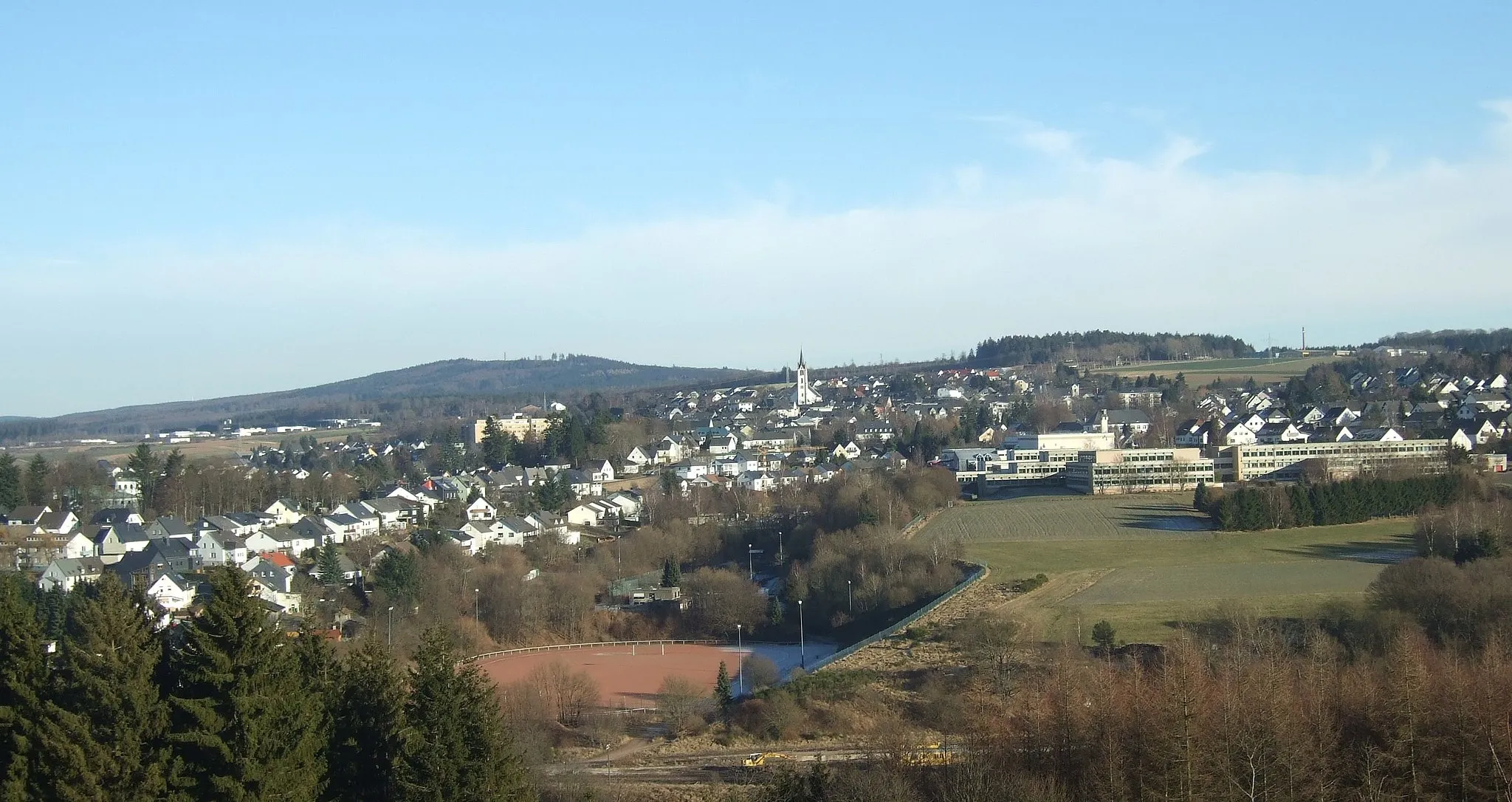
BaumholderTownBaumholder is a military town with interesting historical sites and scenic surroundings.
107 km
107 km
NahetalViewpointNahetal is a valley known for its vineyards and charming wine villages.
111 km
111 km
Finish: Dienstweiler Village centerBirkenfeld: Diverse landscapes and cyclist-friendly infrastructure make Birkenfeld a great cycling destination.
Cycling routes from Birkenfeld:
Cycling routes nearby: