Kusel Adventure Loop
A road cycling route starting from Birkenfeld
Discover the medieval flavor of Kusel while riding through challenging terrains.
Map

The Kusel Adventure Loop offers a thrilling ride through the scenic landscapes near Birkenfeld. The highlight of this route is the medieval town of Kusel, known for its rich history and charming architecture. With a difficulty rating of 4 and an epicness rating of 3, this route is suitable for experienced amateur cyclists. The highlights along the route include Bergfried, Kusel, Glan-Münchweiler, Klingelberg, Altenkirchen, Buberg, Weiselberg, Freisen, Guckenberg, and Burg Birkenfeld.
road
101 km
1750 m
Tough
Route profile
Highlights on the route
0 km
0 km
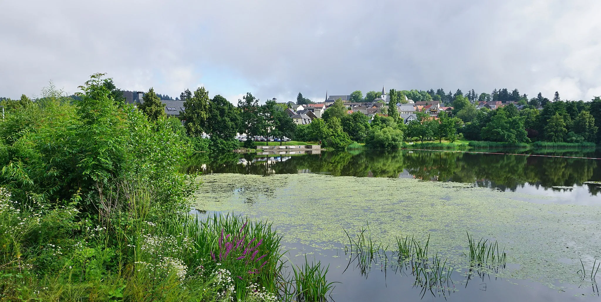
Start: Birkenfeld City centerBirkenfeld: Diverse landscapes and cyclist-friendly infrastructure make Birkenfeld a great cycling destination.
Birkenfeld is a town located in the Koblenz region of Germany. From a cyclist's perspective, it offers a mix of flat and hilly landscapes, catering to both road and gravel cyclists. The town itself has cyclist-friendly infrastructure and there are several well-maintained cycling routes in the area. One notable cycling spot close to Birkenfeld is the Saar-Hunsrück Climb, which provides cyclists with a challenging ascent and rewarding views. Overall, Birkenfeld ranks as a 4 in terms of cycling friendliness and is recommended for cyclists looking for diverse terrains and scenic routes.11 km
11 km
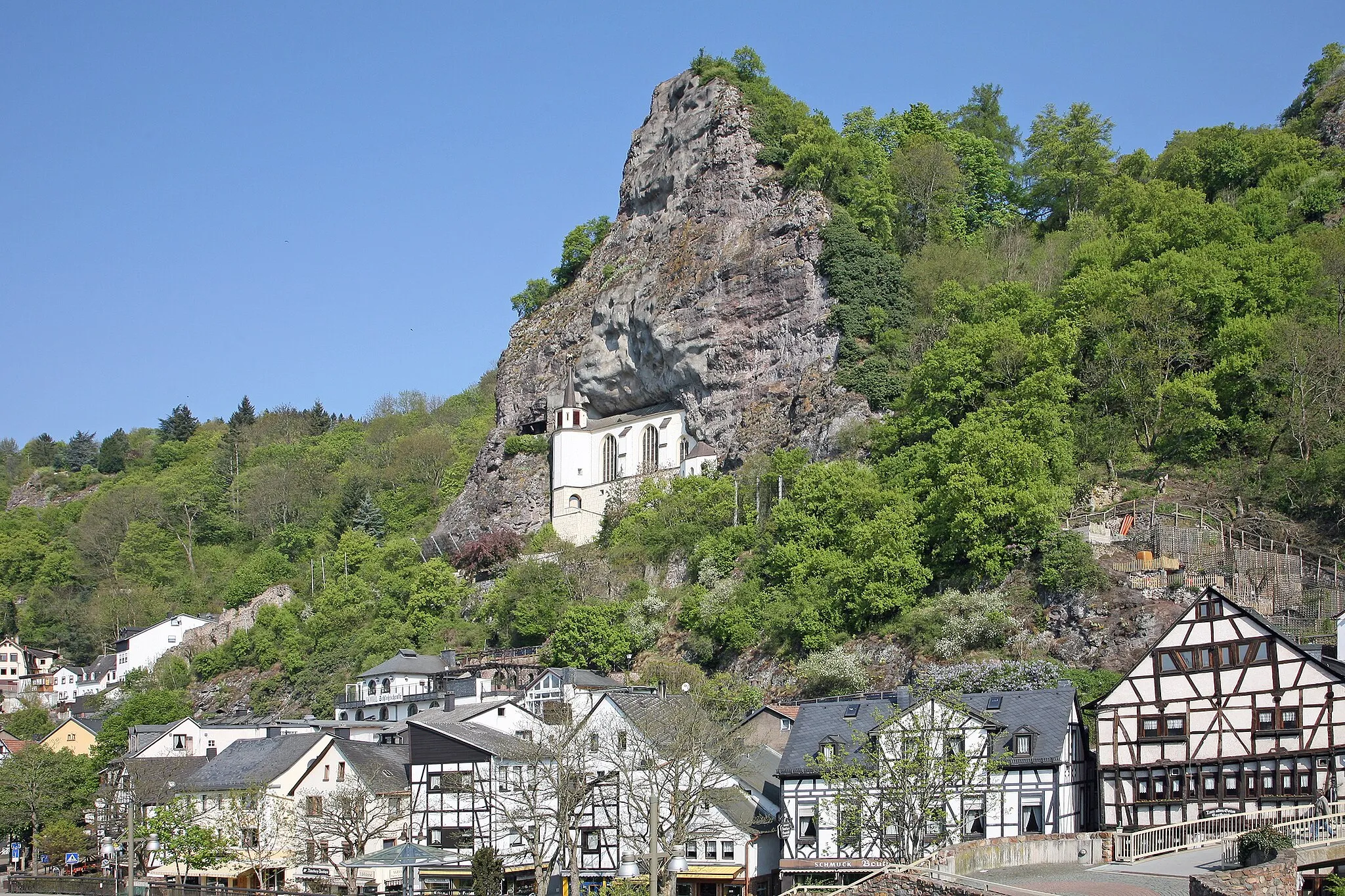
BergfriedViewpointBergfried is a historic tower in Kusel that offers panoramic views of the surrounding countryside.
32 km
32 km
KuselTownKusel is a charming town with well-preserved medieval architecture and a vibrant cultural scene.
45 km
45 km
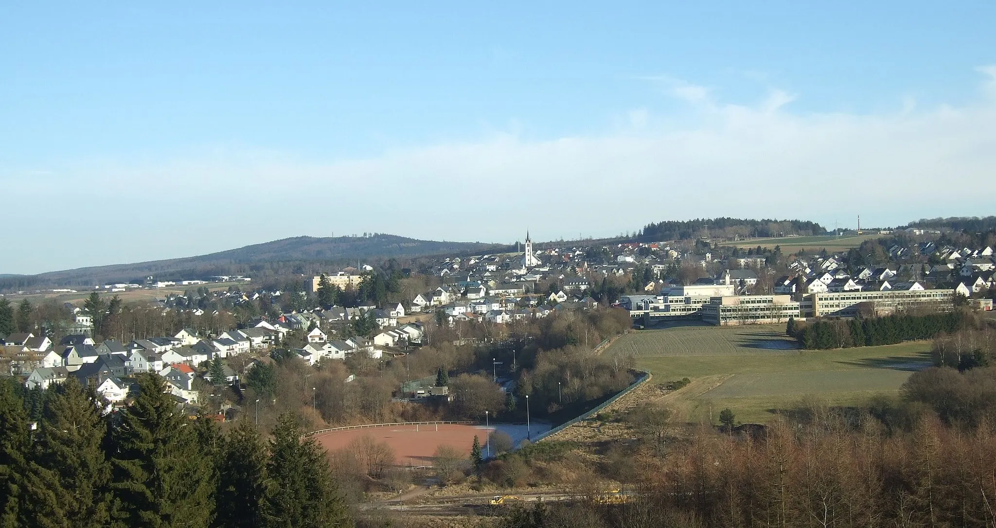
Glan-MünchweilerVillage47 km
47 km
Klingelberg243 mPeakKlingelberg is a hill known for its scenic beauty and panoramic views.
64 km
64 km
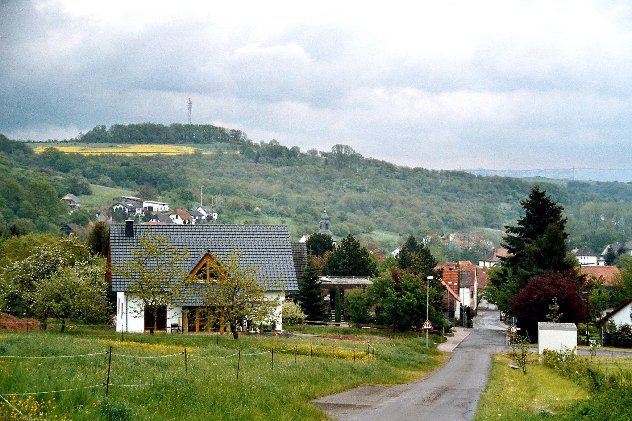
AltenkirchenVillageAltenkirchen is a picturesque village with traditional half-timbered houses and narrow streets.
69 km
69 km
Buberg465 mPeakBuberg offers stunning views of the surrounding rolling hills and forests.
78 km
78 km
Weiselberg569 mPeakWeiselberg is a popular hiking and cycling destination with beautiful natural landscapes.
84 km
84 km
FreisenVillage91 km
91 km
Guckenberg479 mPeak100 km
100 km
Burg BirkenfeldCastleBurg Birkenfeld is a historic castle that offers insights into the region's feudal history.
101 km
101 km
Finish: Birkenfeld City centerBirkenfeld: Diverse landscapes and cyclist-friendly infrastructure make Birkenfeld a great cycling destination.
Cycling routes from Birkenfeld:
Cycling routes nearby: