The Ultimate Road Cycling Challenge
A road cycling route starting from Birkenfeld
Conquer Abentheuer, Ruppelstein, Röderberg, Deuselbach, Gornhausen, Kaiserstuhl, Hohenfels, Kirschweiler, Schwollen, and Aussichtsturm Hattgenstein on this epic road cycling route near Birkenfeld.
Map
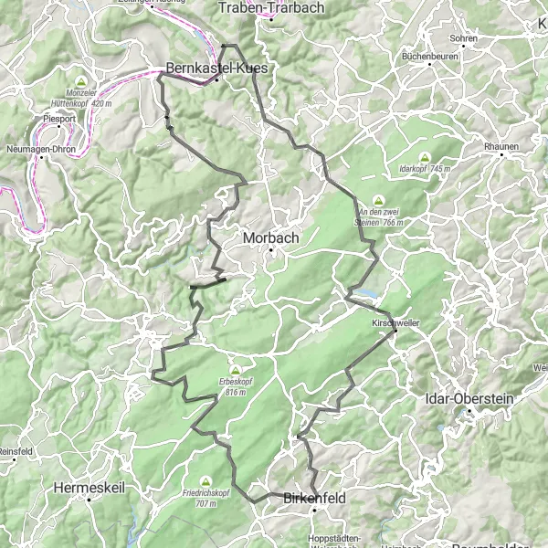
Prepare yourself for the ultimate road cycling challenge near Birkenfeld as you conquer Abentheuer, Ruppelstein, Röderberg, Deuselbach, Gornhausen, Kaiserstuhl, Hohenfels, Kirschweiler, Schwollen, and Aussichtsturm Hattgenstein. This 115km route is not for the faint-hearted, with an elevation gain of 2409m. Spectacular views and legendary climbs await you on this epic adventure.
road
115 km
2409 m
Savage
Route profile
Highlights on the route
0 km
0 km
Start: Birkenfeld City centerBirkenfeld: Diverse landscapes and cyclist-friendly infrastructure make Birkenfeld a great cycling destination.
Birkenfeld is a town located in the Koblenz region of Germany. From a cyclist's perspective, it offers a mix of flat and hilly landscapes, catering to both road and gravel cyclists. The town itself has cyclist-friendly infrastructure and there are several well-maintained cycling routes in the area. One notable cycling spot close to Birkenfeld is the Saar-Hunsrück Climb, which provides cyclists with a challenging ascent and rewarding views. Overall, Birkenfeld ranks as a 4 in terms of cycling friendliness and is recommended for cyclists looking for diverse terrains and scenic routes.5 km
5 km
AbentheuerVillageAbentheuer, just 5km from the start, is a sought-after destination for cyclists due to its challenging climbs and stunning natural surroundings.
14 km
14 km
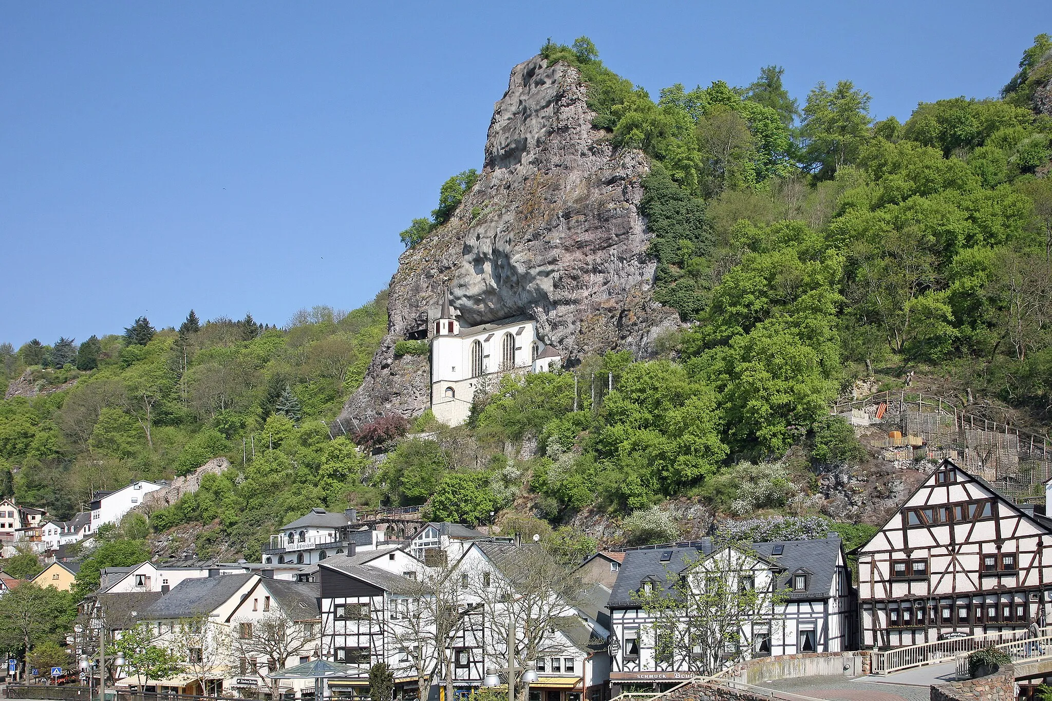
Ruppelstein762 mPeakRuppelstein, located at 14km, features impressive cliff formations and panoramic views of the area.
24 km
24 km
Röderberg640 mPeakRöderberg, at 24km, provides a thrilling downhill section for adrenaline junkies.
28 km
28 km
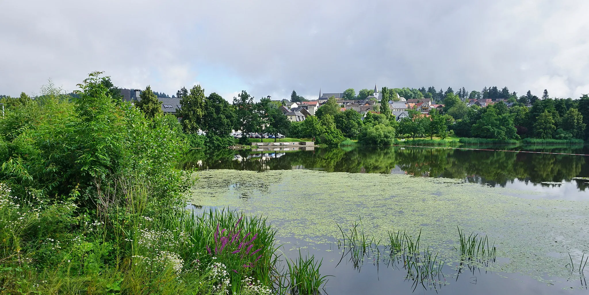
DeuselbachVillageDeuselbach, situated at 28km, is a picturesque village with charming timber-framed houses.
51 km
51 km
GornhausenVillageGornhausen, at a distance of 51km, offers a serene escape with its quaint countryside.
64 km
64 km
KaiserstuhlViewpointKaiserstuhl, located at 64km, provides panoramic views and a challenging climb.
95 km
95 km
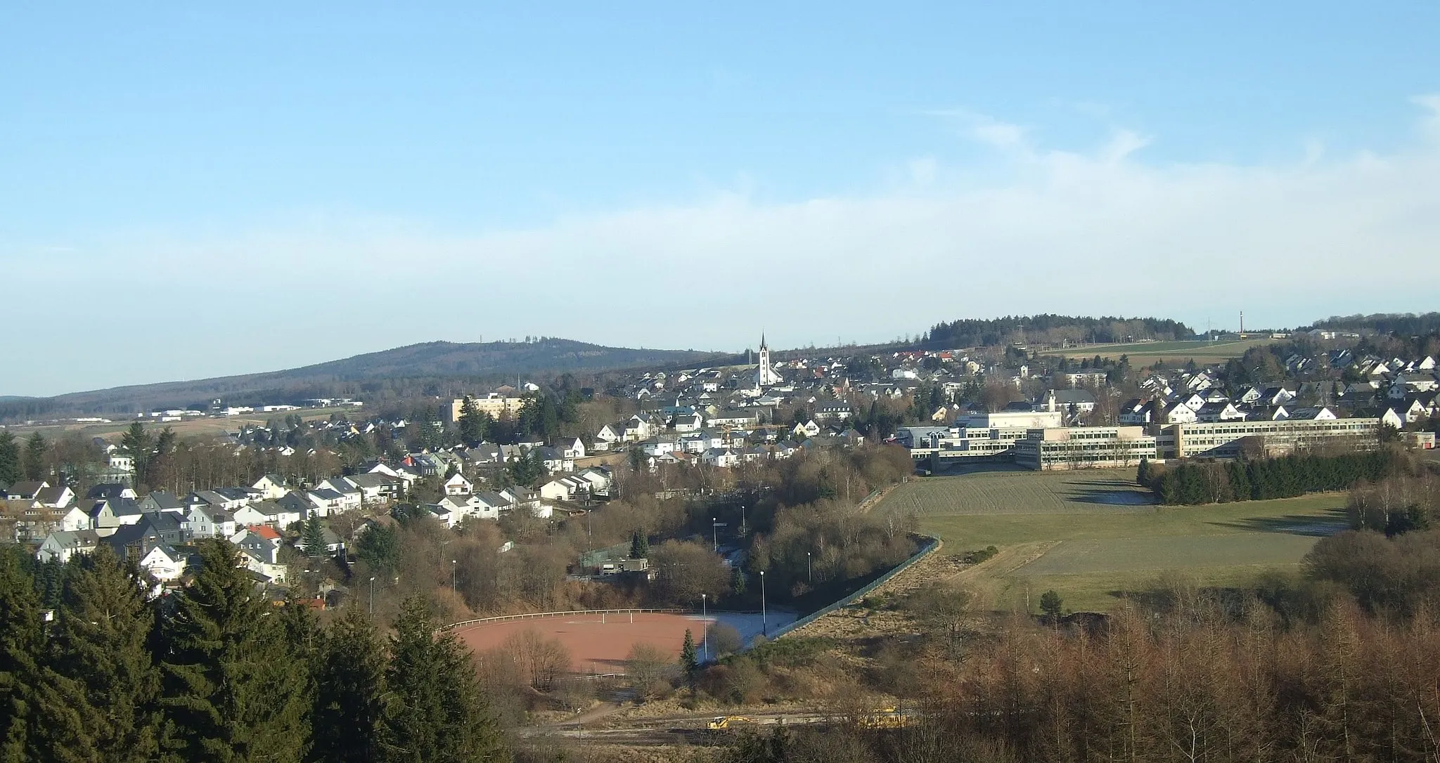
HohenfelsViewpointHohenfels, at 95km, boasts historic landmarks and captivating landscapes.
97 km
97 km
KirschweilerVillageKirschweiler, situated at 97km, captivates cyclists with its charming village atmosphere.
106 km
106 km
SchwollenVillageSchwollen, at 106km, offers sweeping views of the surrounding hills and forests.
108 km
108 km
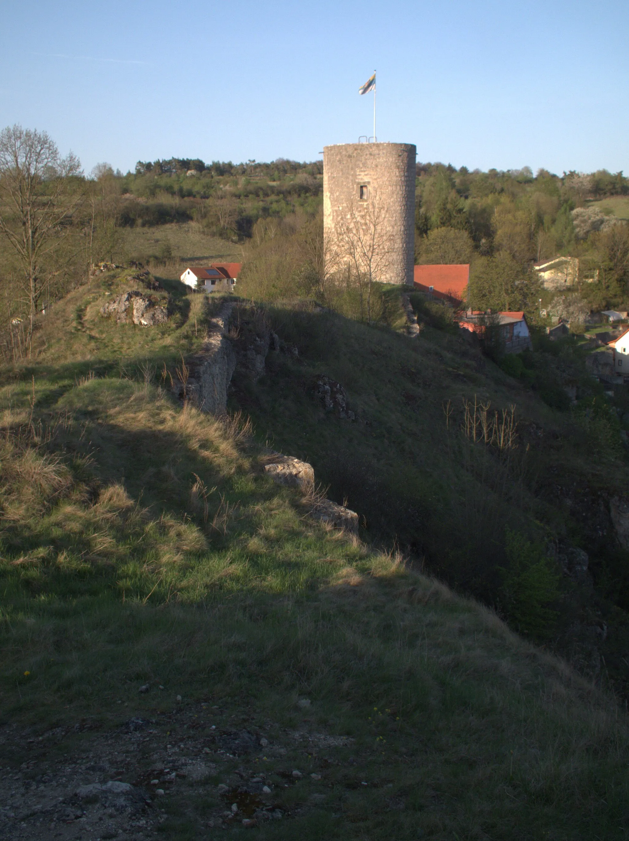
Aussichtsturm HattgensteinViewpointAt 108km, Aussichtsturm Hattgenstein stands tall, offering stunning panoramic views of the unique rock formations and lush greenery
115 km
115 km
Finish: Birkenfeld City centerBirkenfeld: Diverse landscapes and cyclist-friendly infrastructure make Birkenfeld a great cycling destination.
Cycling routes from Birkenfeld:
Cycling routes nearby: