Feuchtwangen to Lindenberg Loop
A road cycling route starting from Feuchtwangen
A picturesque cycling route from Feuchtwangen to Lindenberg.
Map
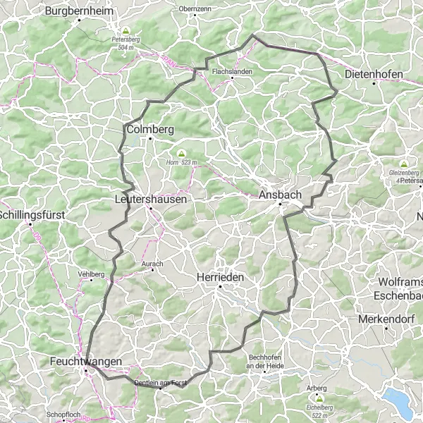
This 107 km long round-trip cycling route starting near Feuchtwangen takes you through beautiful landscapes and charming villages. The route includes a total ascent of 1114 meters, making it moderately challenging for very well-trained amateurs. With its scenic beauty and cultural attractions, this route is perfect for those looking for a mix of nature and culture. The road bike users can enjoy the smooth asphalt surfaces, while gravel bike users can explore some off-road scenic sections. Overall, this route offers a delightful cycling experience with a variety of highlights along the way.
road
107 km
1114 m
Tough
Route profile
Highlights on the route
0 km
0 km
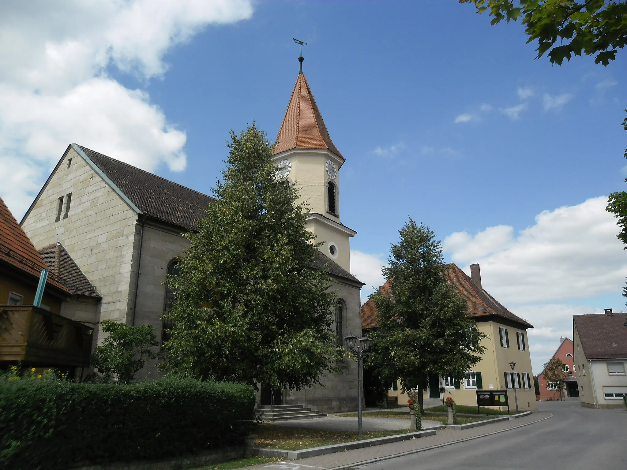
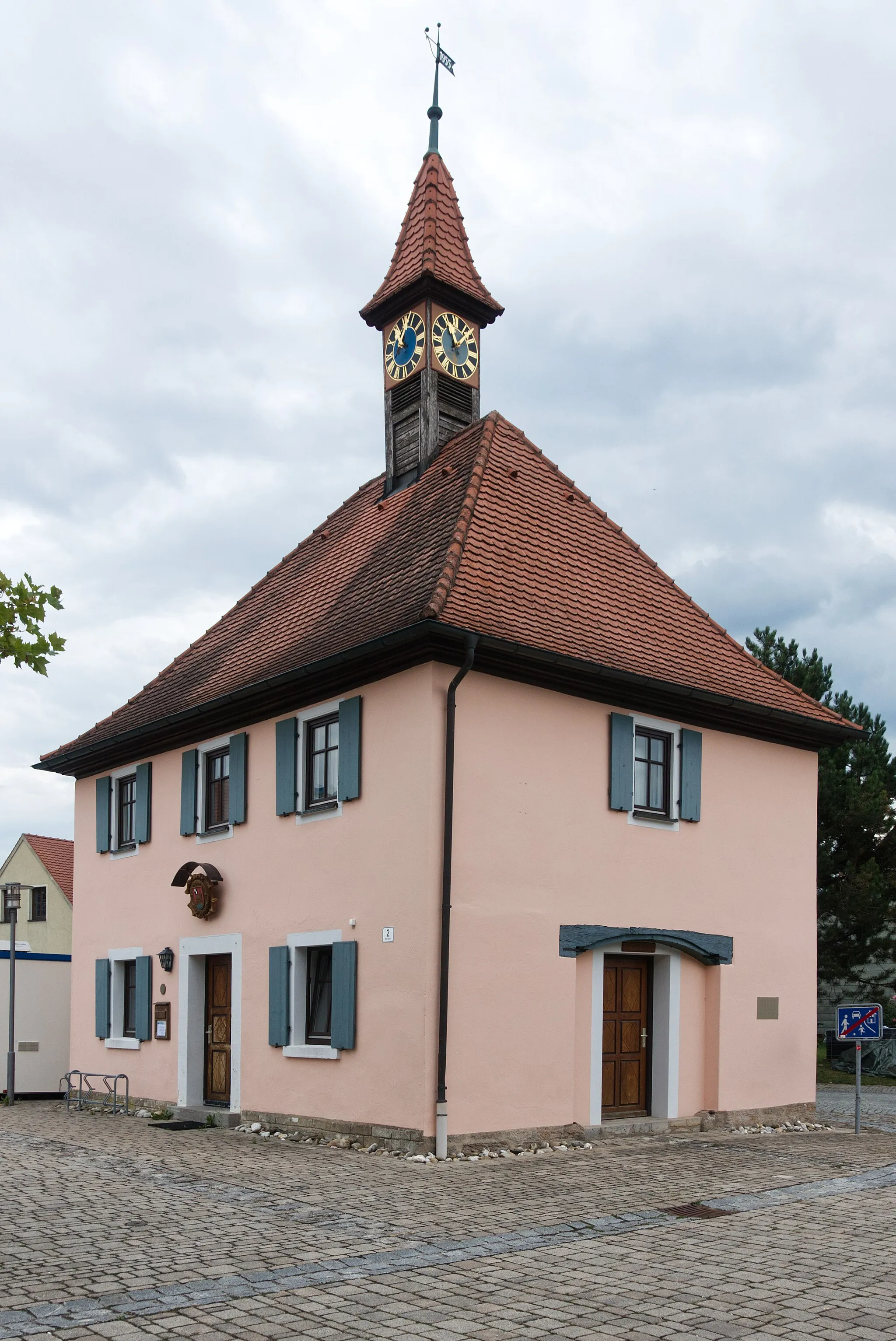
Start: Feuchtwangen City centerFeuchtwangen: Tranquil cycling getaway amidst picturesque countryside.
Feuchtwangen, situated in Mittelfranken, Germany, is a charming locality that offers a mix of road and gravel cycling routes. With its rolling hills and peaceful countryside, Feuchtwangen provides a relaxing cycling experience. While there are no famous or challenging climbs in the immediate vicinity, the area is perfect for cyclists who prefer quieter, scenic rides. If you're looking for a serene cyclist retreat, Feuchtwangen is an excellent choice.1 km
1 km
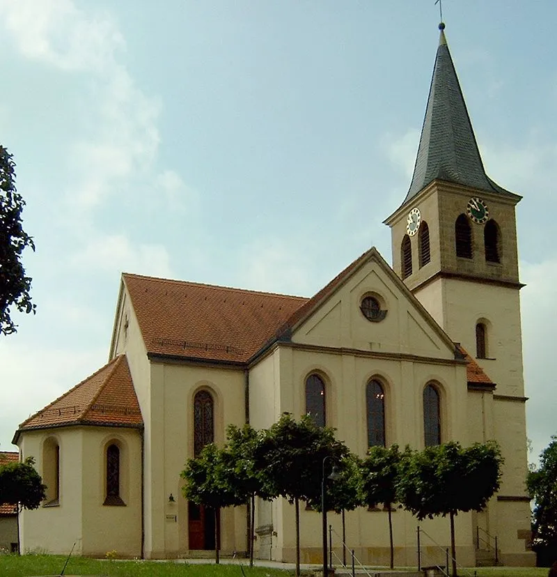
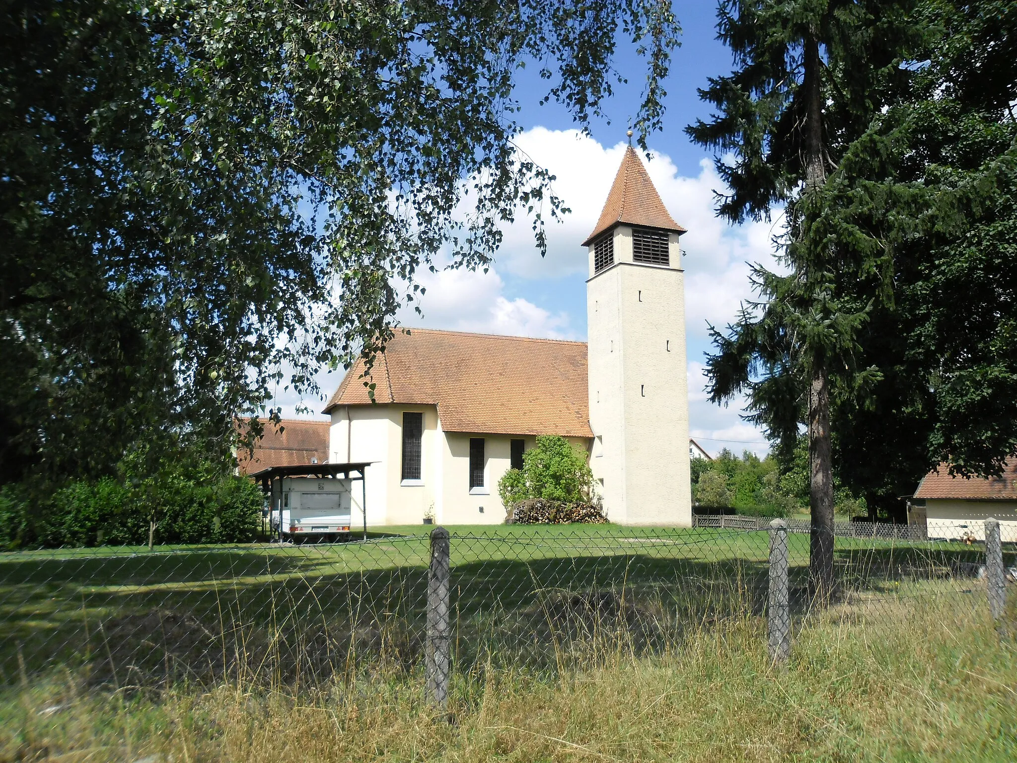
Lindenberg513 mPeakLindenberg is a charming village known for its picturesque old town and beautiful views of the surrounding countryside.
15 km
15 km
ErlbachVillageErlbach is a famous cycling spot with a challenging uphill climb and stunning panoramic views.
35 km
35 km
MitteldachstettenVillageMitteldachstetten is a hidden gem with quaint houses and a historic center worth exploring.
39 km
39 km
Felberg508 mPeakFelberg is a scenic hill with a peaceful atmosphere and fantastic views over the rolling hills.
58 km
58 km
Hohe Leiten456 mPeakHohe Leiten is a popular landmark with its imposing lookout tower and breathtaking views of the region.
60 km
60 km
WeihenzellVillageWeihenzell is a small village with a charming church and quaint streets to wander.
67 km
67 km
Hausberg460 mPeakHausberg is a challenging climb with a rewarding summit view and a sense of achievement.
78 km
78 km
BurgoberbachVillageBurgoberbach is a historic town with a well-preserved castle and a peaceful riverside ambiance.
93 km
93 km
Eberleinsberg483 mPeakEberleinsberg offers panoramic views of the surrounding countryside and a tranquil picnic spot.
94 km
94 km
WiesethVillageWieseth is a charming Bavarian village with traditional half-timbered houses and a cozy atmosphere.
101 km
101 km
Hofbuck505 mPeakHofbuck is a beautiful hill with rolling fields, diverse flora, and fauna, offering a pleasant cycling experience.
107 km
107 km
Finish: Feuchtwangen City centerFeuchtwangen: Tranquil cycling getaway amidst picturesque countryside.
Cycling routes from Feuchtwangen:
Feuchtwangen - Geslau Gravel Loop Feuchtwangen - Heckenberg Challenge Feuchtwangen - Wolfsbühl Loop Feuchtwangen to Lindenberg Loop Feuchtwangen - Colmberg Gravel Adventure Feuchtwangen - Vogelbuck Feuchtwangen to Lindenberg Loop Gravel Adventure from Feuchtwangen Mittelfranken Gravel Adventure Glorious Gravel Route to Rothenburg ob der Tauber Feuchtwangen Gravel Trail
Cycling routes nearby: