Feuchtwangen - Vogelbuck
A road cycling route starting from Feuchtwangen
Discover the scenic Vogelbuck on this 61km road cycling route from Feuchtwangen.
Map
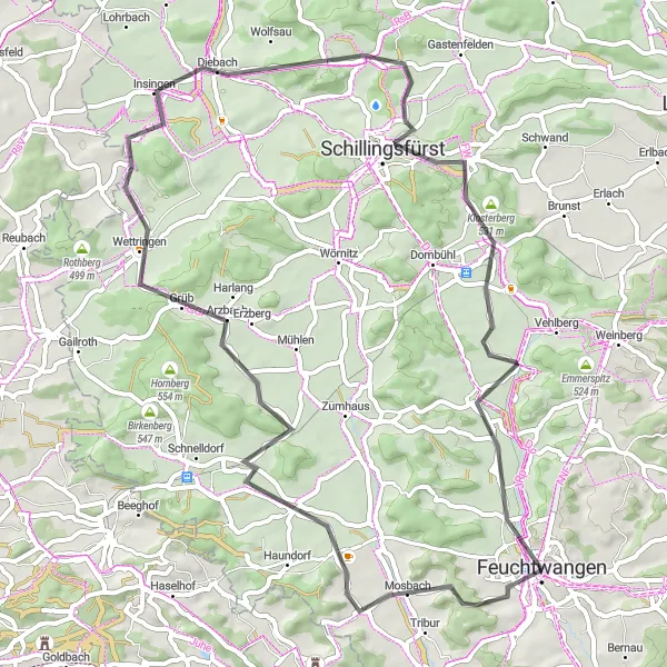
This road cycling route takes you through picturesque landscapes and small villages. With a moderate ascent of 499m and a distance of 61km, it is suitable for a well-trained amateur cyclist. The route starts in Feuchtwangen and highlights include Unterampfrach, Wildenholz, Sonnenberg, Vorderer Grasbühl, Schillingsfürst, and Lindenberg.
road
61 km
499 m
Tough
Route profile
Highlights on the route
0 km
0 km
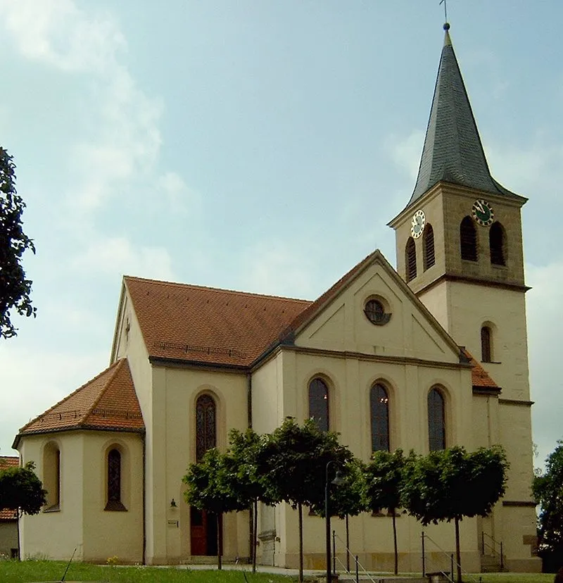
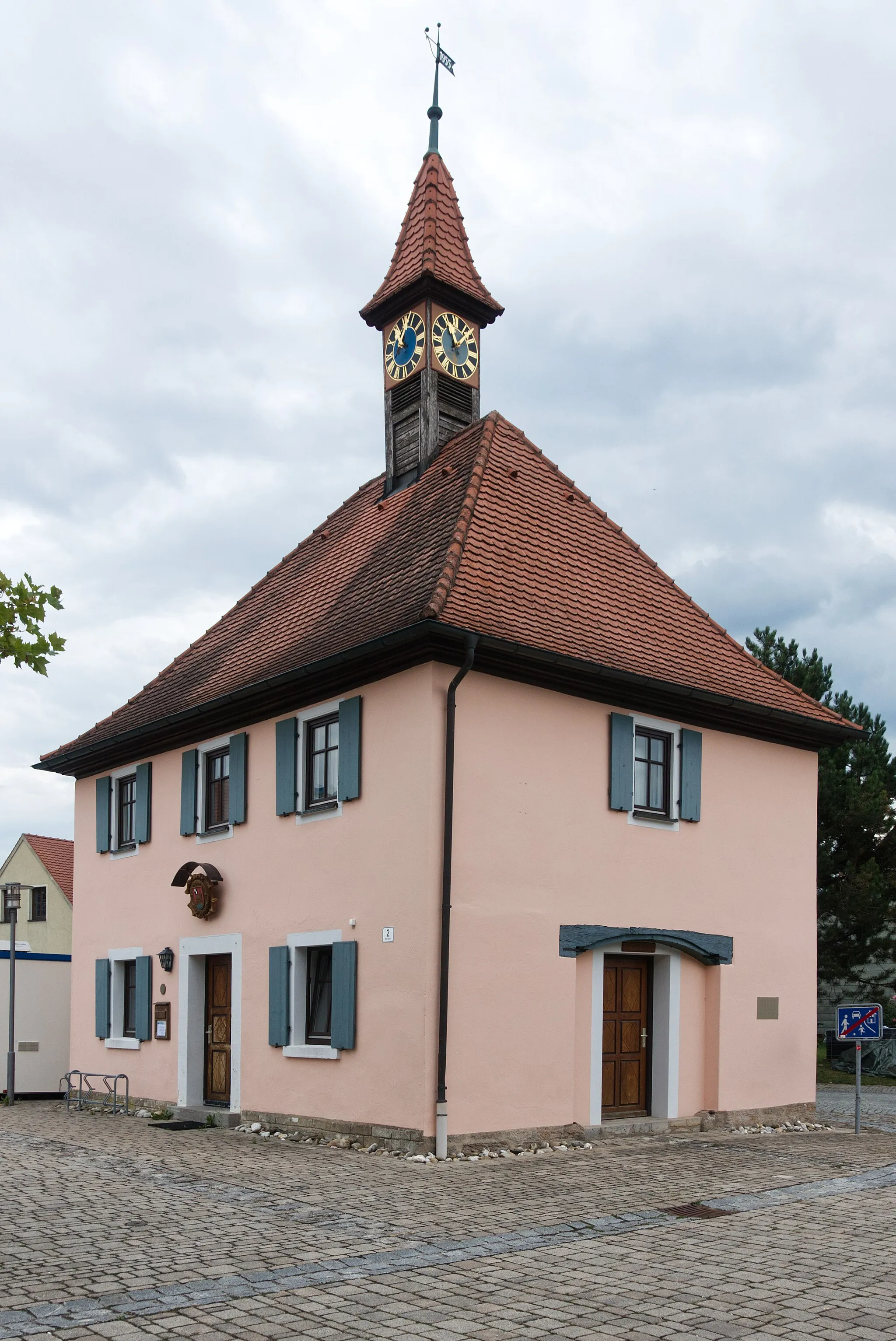
Start: Feuchtwangen City centerFeuchtwangen: Tranquil cycling getaway amidst picturesque countryside.
Feuchtwangen, situated in Mittelfranken, Germany, is a charming locality that offers a mix of road and gravel cycling routes. With its rolling hills and peaceful countryside, Feuchtwangen provides a relaxing cycling experience. While there are no famous or challenging climbs in the immediate vicinity, the area is perfect for cyclists who prefer quieter, scenic rides. If you're looking for a serene cyclist retreat, Feuchtwangen is an excellent choice.4 km
4 km
Vogelbuck515 mPeakVogelbuck offers breathtaking views over the surrounding countryside.
11 km
11 km
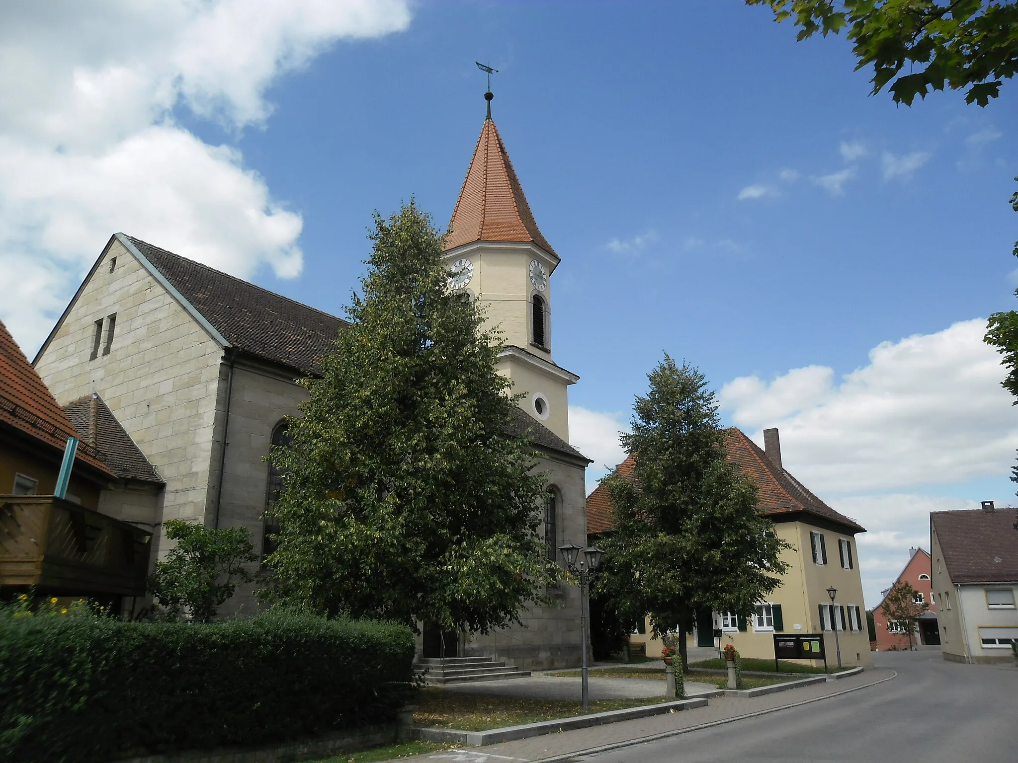
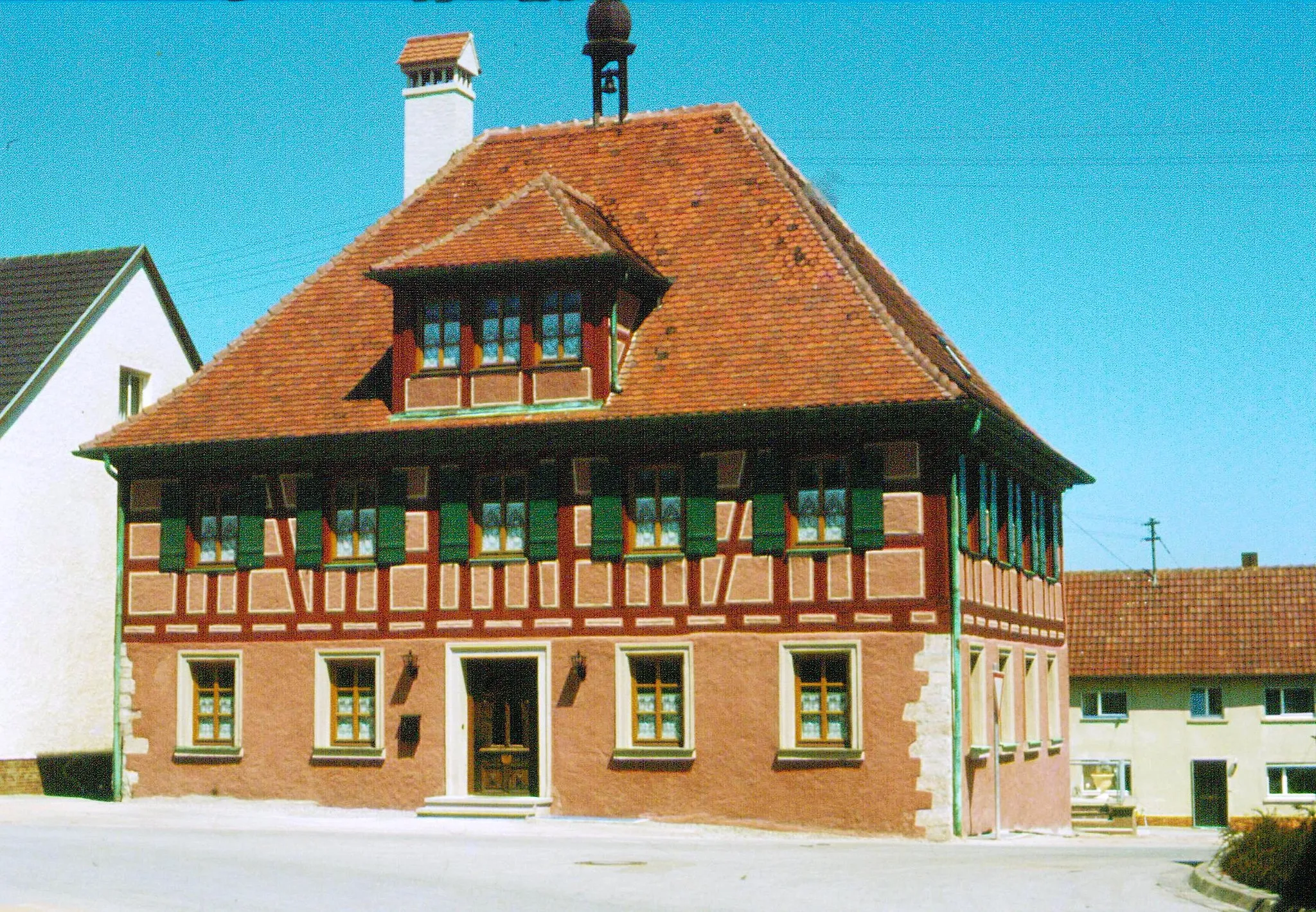
UnterampfrachVillageUnterampfrach is a quaint village with traditional half-timbered houses.
18 km
18 km
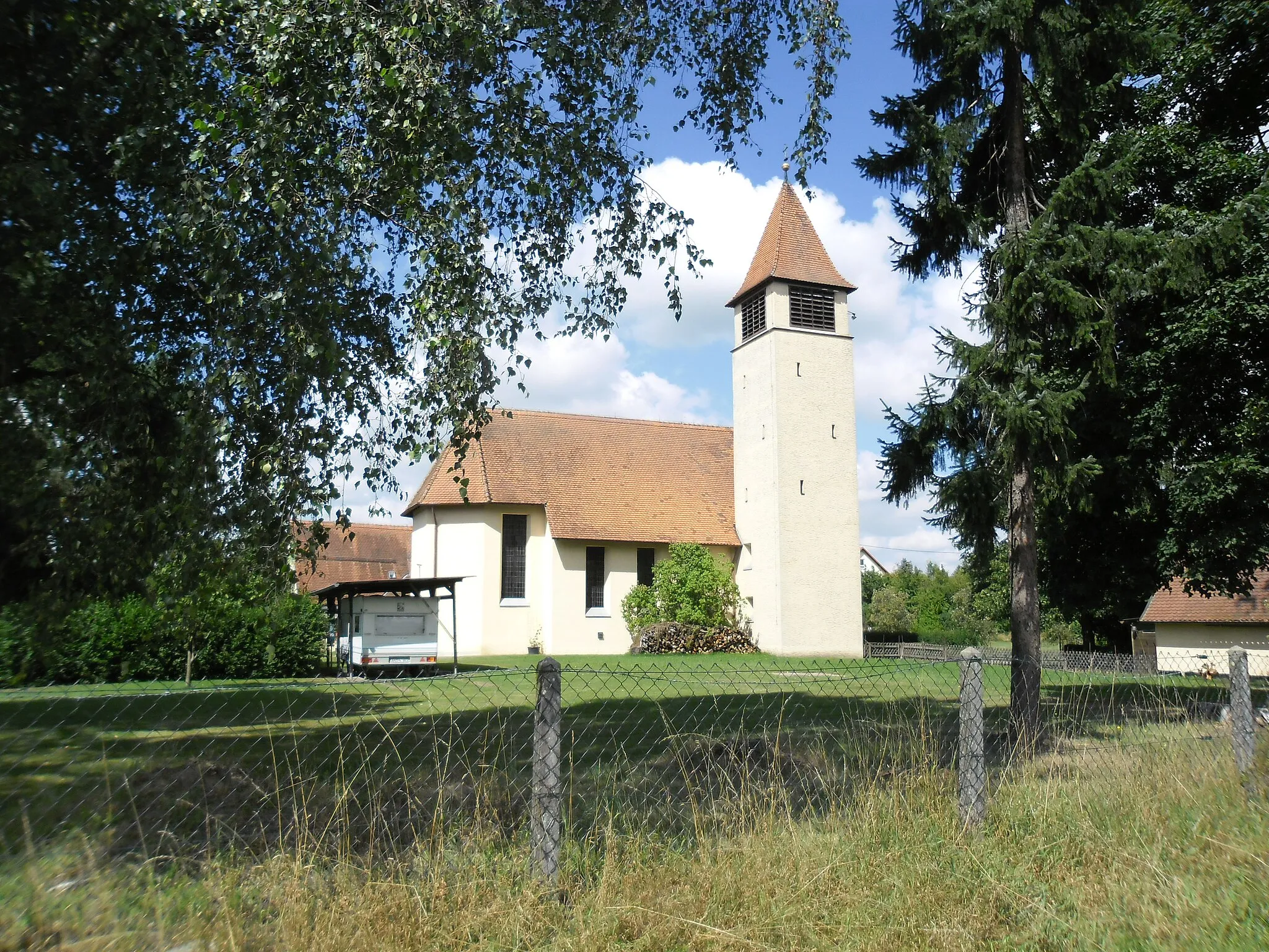
WildenholzVillageWildenholz is known for its beautiful forests and hiking trails.
30 km
30 km
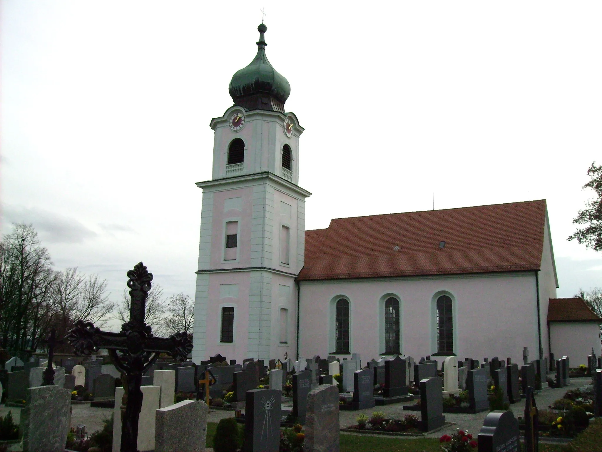
Sonnenberg435 mPeakSonnenberg is a peaceful hill with a small chapel at the top.
39 km
39 km
Vorderer Grasbühl472 mPeakVorderer Grasbühl is a charming rural area with rolling hills.
43 km
43 km
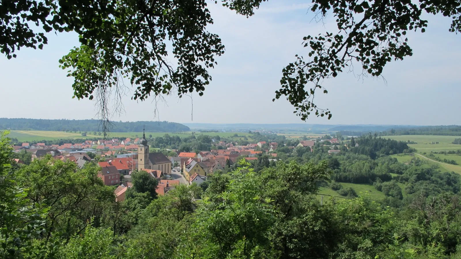
SchillingsfürstTownSchillingsfürst is a historical town with a castle and picturesque streets.
60 km
60 km
Lindenberg513 mPeakLindenberg is a popular spot for paragliding enthusiasts.
61 km
61 km
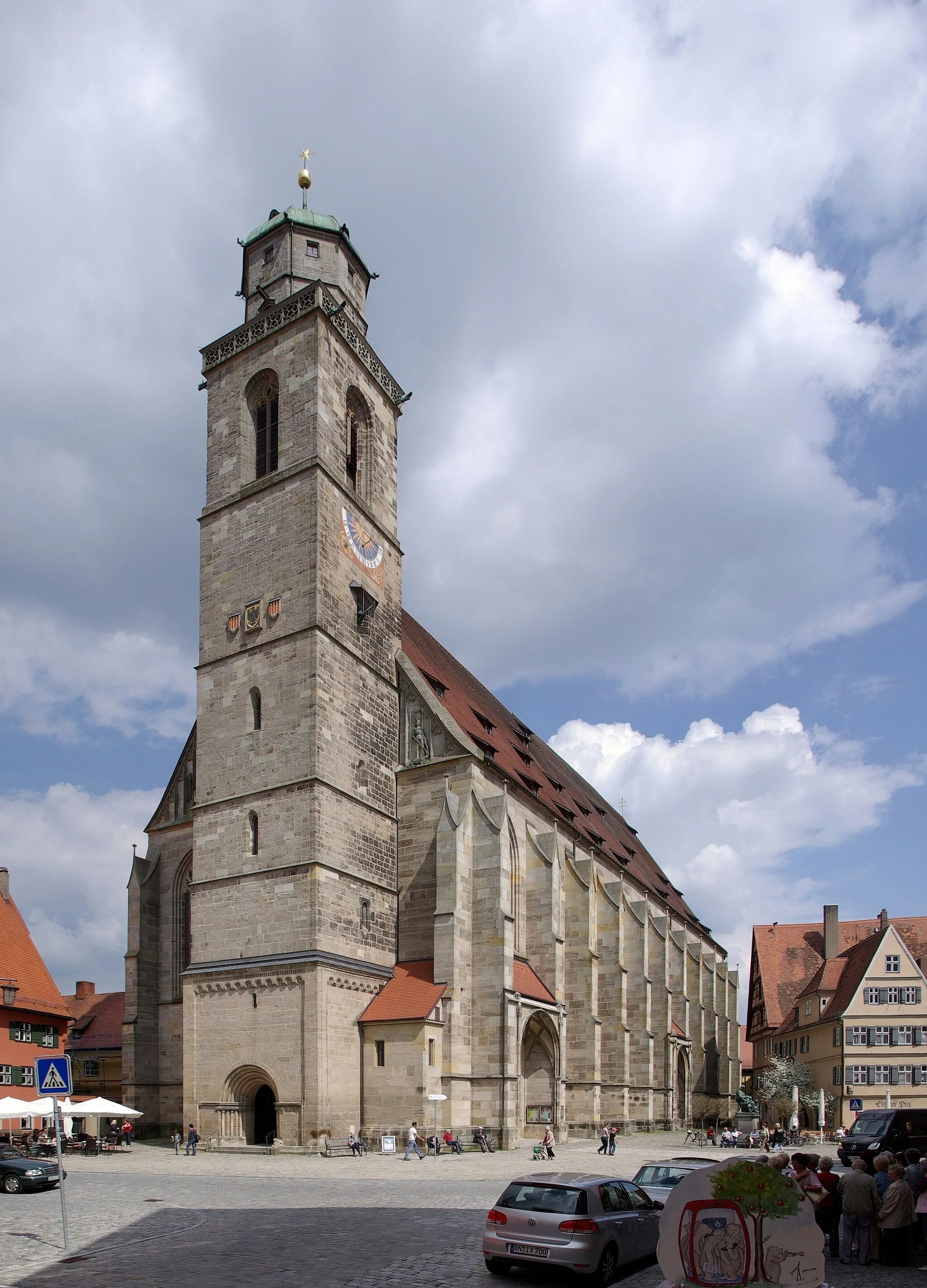
FeuchtwangenTownFeuchtwangen is a charming town with a well-preserved medieval center.
61 km
61 km
Finish: Feuchtwangen City centerFeuchtwangen: Tranquil cycling getaway amidst picturesque countryside.
Cycling routes from Feuchtwangen:
Feuchtwangen - Geslau Gravel Loop Feuchtwangen - Heckenberg Challenge Feuchtwangen - Wolfsbühl Loop Feuchtwangen to Lindenberg Loop Feuchtwangen - Colmberg Gravel Adventure Feuchtwangen - Vogelbuck Feuchtwangen to Lindenberg Loop Gravel Adventure from Feuchtwangen Mittelfranken Gravel Adventure Glorious Gravel Route to Rothenburg ob der Tauber Feuchtwangen Gravel Trail
Cycling routes nearby: