Hilly Gravel Adventure Near Leutershausen
A gravel cycling route starting from Leutershausen
Discover picturesque landscapes and charming villages while conquering challenging hills.
Map
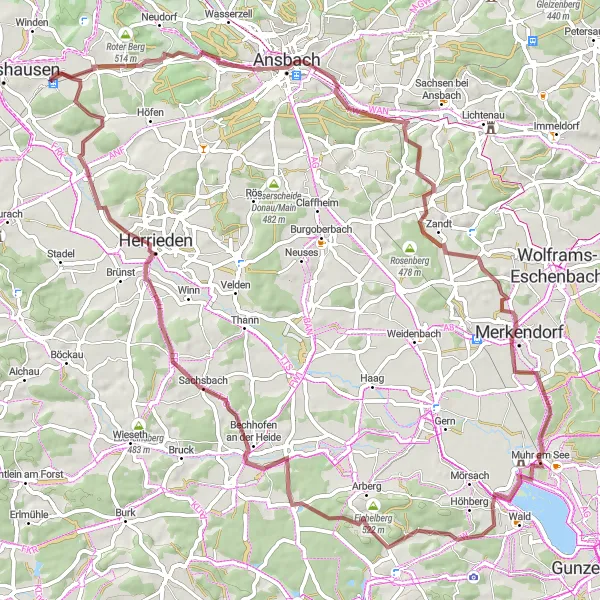
This hilly gravel route near Leutershausen takes you on a thrilling adventure through picturesque landscapes and charming villages. With a total ascent of 540 meters over a distance of 78 kilometers, this route offers a rewarding challenge for gravel enthusiasts. You will pass by highlights such as Bocksberg, Ansbach, Rosenberg, Merkendorf, and Moßberg, where you can take a break and enjoy the unique surroundings. The difficulty level of this route is moderate, suitable for well-trained amateurs. Its epicness is rated as 3 out of 5, offering a mix of varied terrain and scenic views.
gravel
78 km
540 m
Tough
Route profile
Highlights on the route
0 km
0 km
Start: Wiedersbach Village centerLeutershausen: Exploring the scenic countryside of Mittelfranken on two wheels
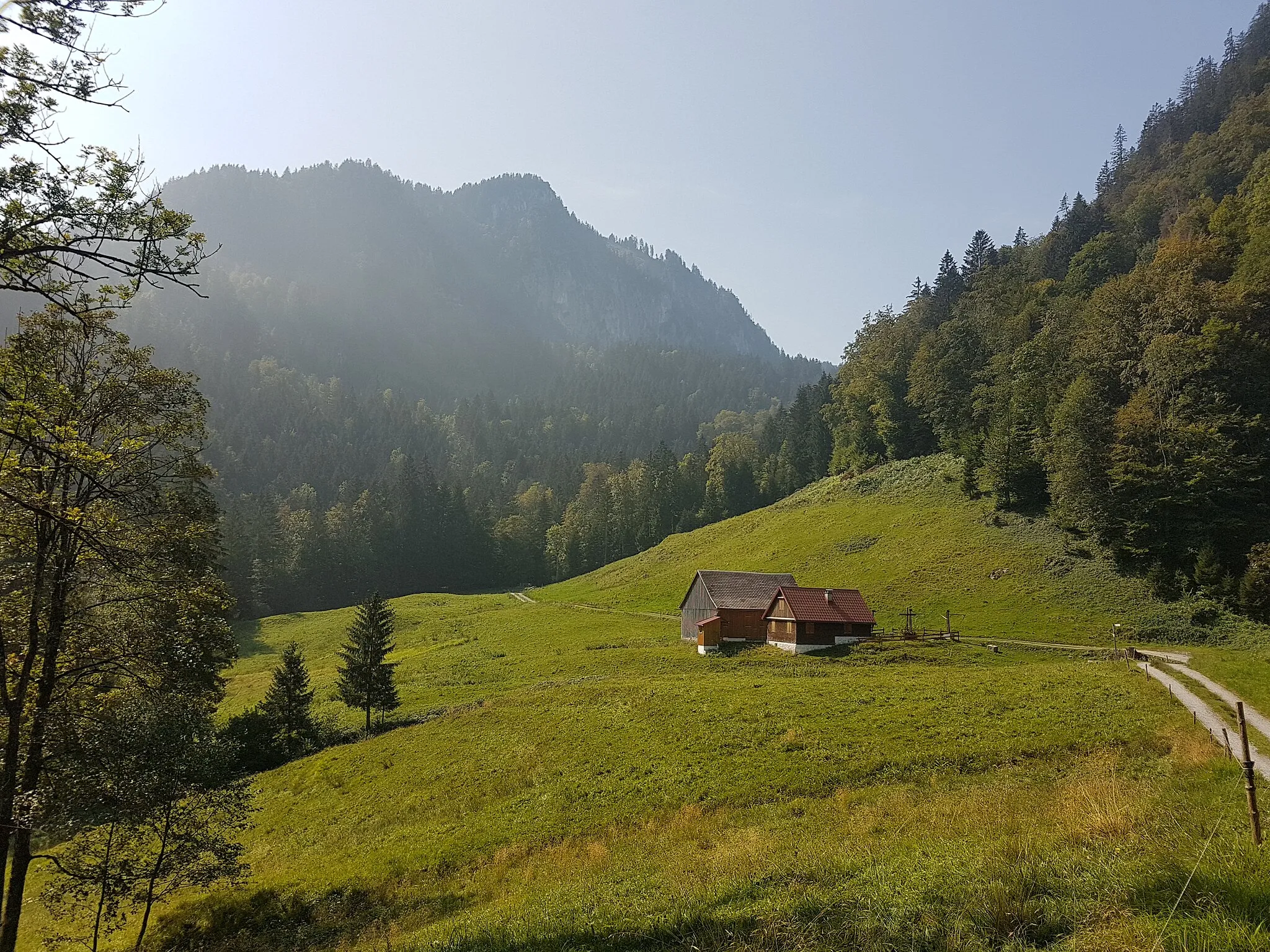
Leutershausen, located in Mittelfranken region of Germany, is a cyclist-friendly locality with a mix of flat and hilly terrain. The town itself offers quaint shops and cafes where cyclists can rest and refuel. Leutershausen is surrounded by idyllic countryside, featuring rolling hills and peaceful rural roads. Nearby, cyclists can explore the Romantic Road, a popular tourist route known for its picturesque villages and historic landmarks. With its picturesque landscapes and cycling-friendly atmosphere, Leutershausen is a great destination for road and gravel cyclists looking to explore the beauty of Mittelfranken.7 km
7 km
Bocksberg480 mPeakBocksberg offers stunning panoramic views of the Franconian countryside.
11 km
11 km
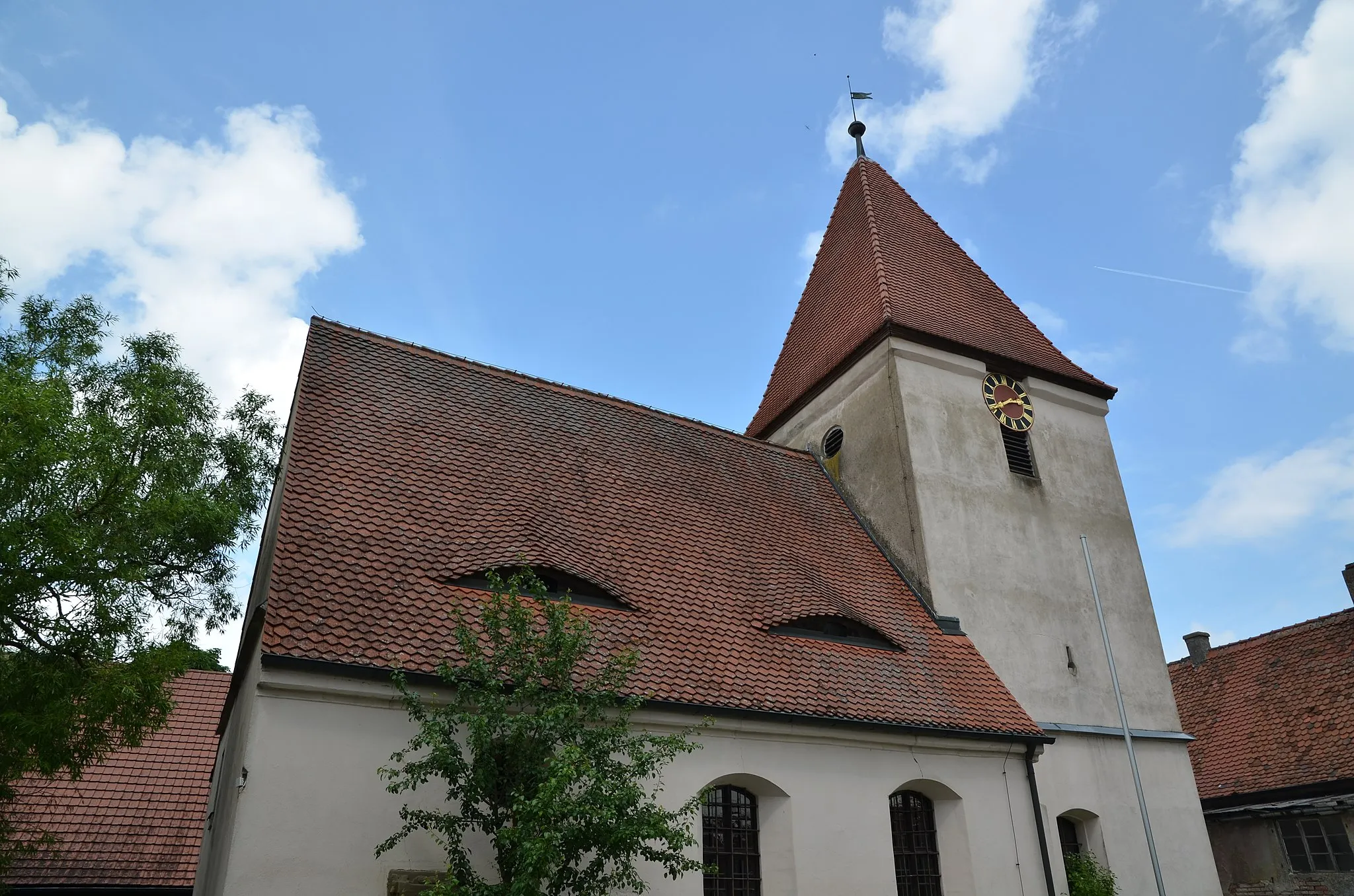
AnsbachTownAnsbach, a historic city known for its impressive architecture.
23 km
23 km
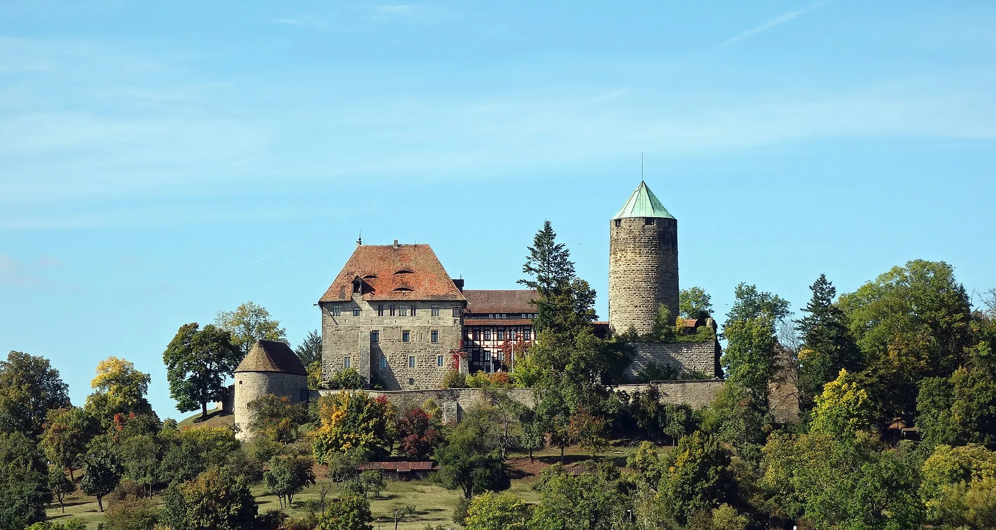
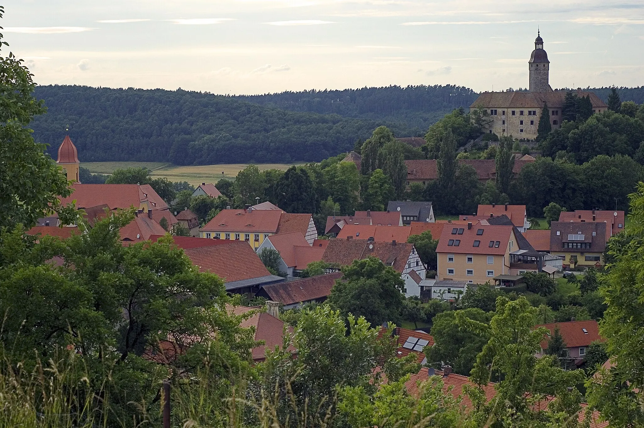
Rosenberg478 mPeakRosenberg, a medieval town with a beautiful castle.
30 km
30 km
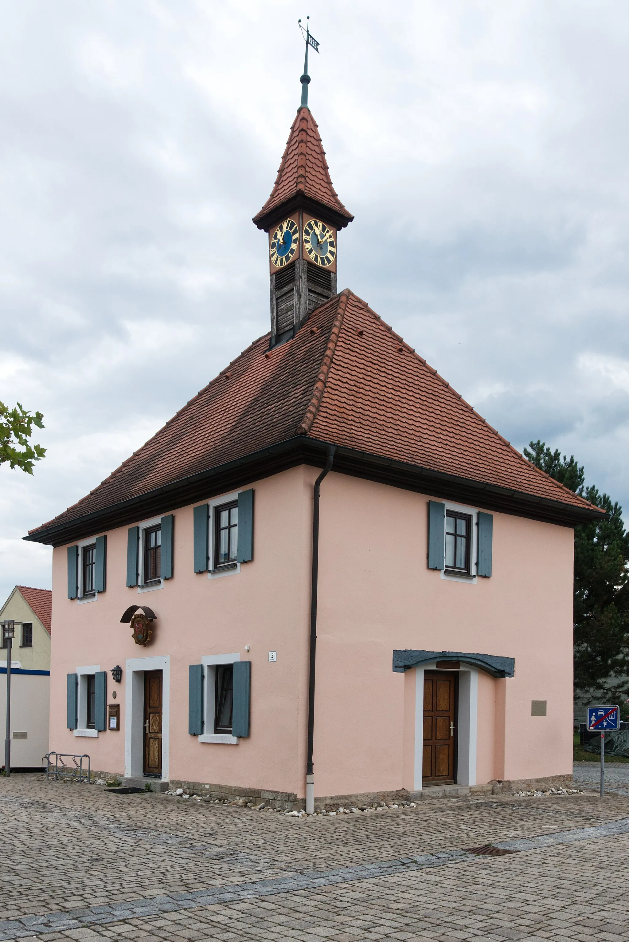
MerkendorfTownMerkendorf, a charming village with traditional timber-framed houses.
47 km
47 km
Moßberg493 mPeakMoßberg, a hilltop village with a rich agricultural history.
48 km
48 km
ArbergVillageArberg, home to a well-preserved medieval city wall.
59 km
59 km
Mückenbühl458 mPeakMückenbühl, a small village surrounded by idyllic meadows and forests.
67 km
67 km
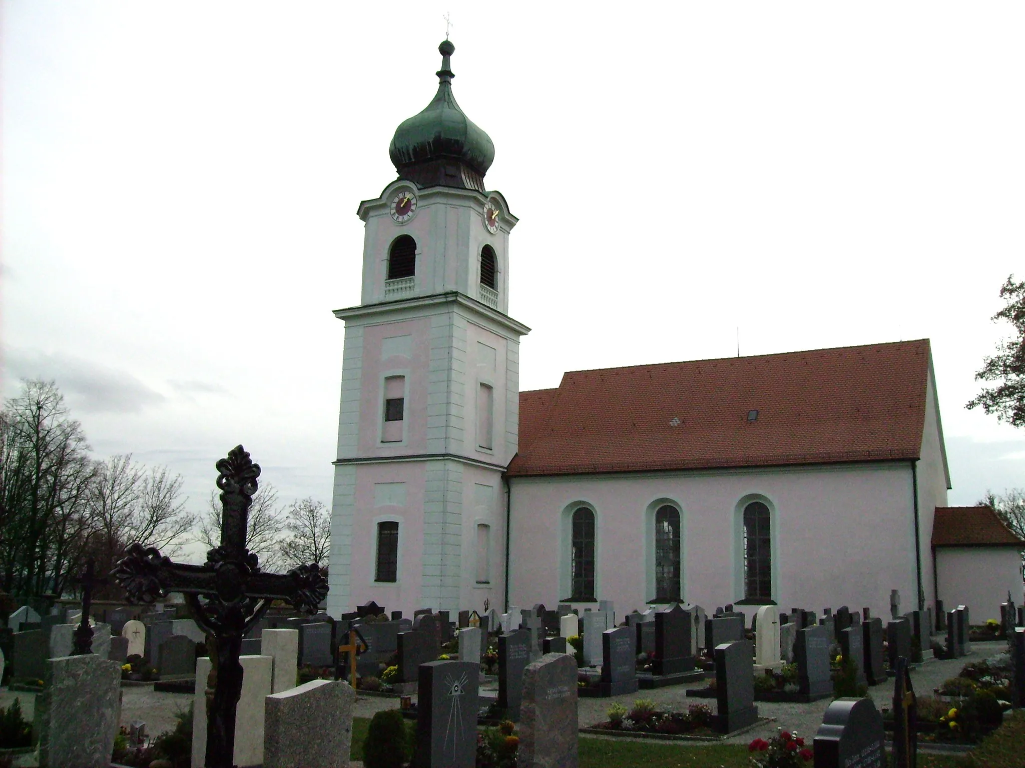
HerriedenTownHerrieden, known for its historic center and medieval fortifications.
75 km
75 km
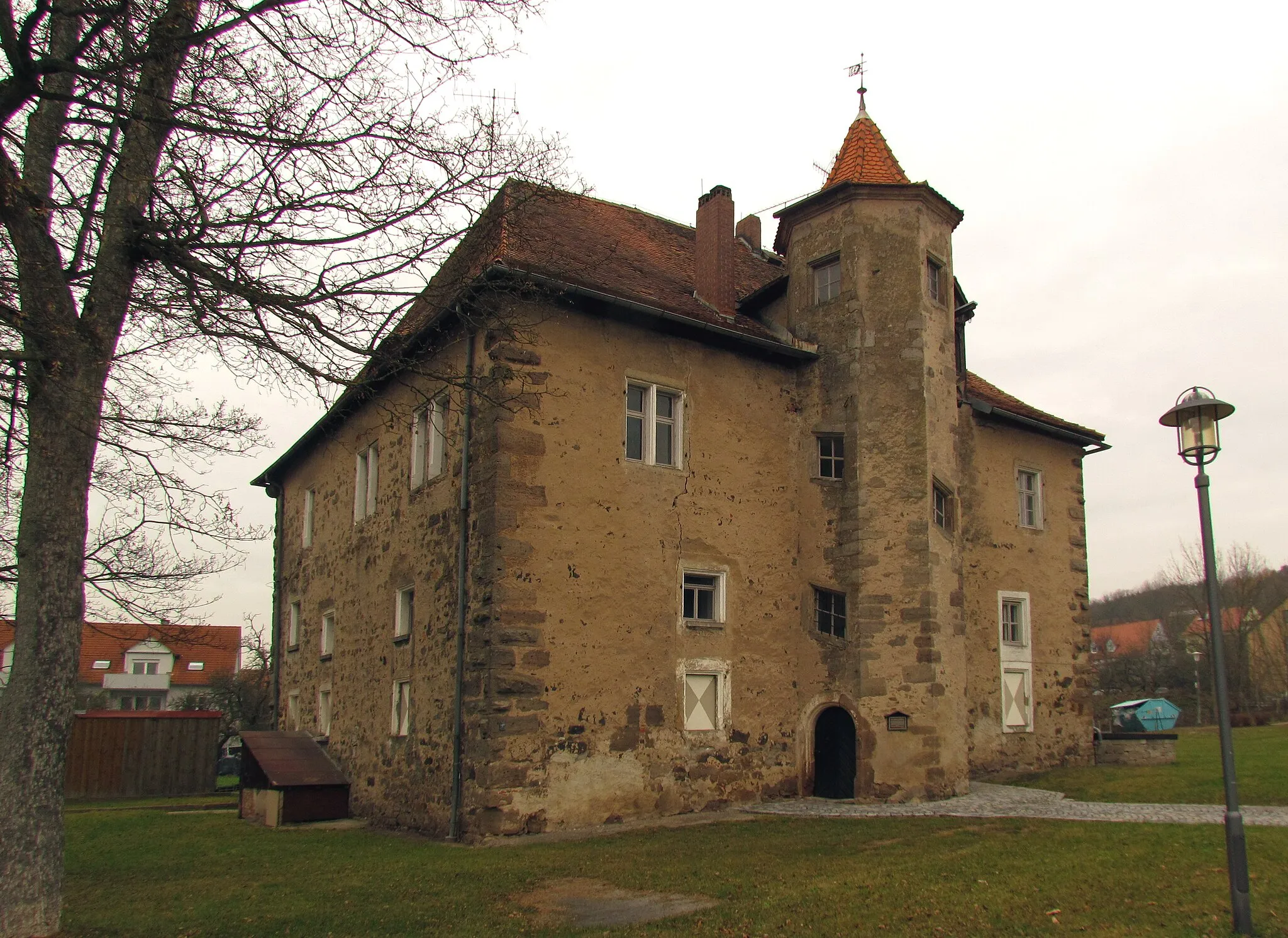
Rotenberg470 mPeakRotenberg, a charming village with a castle ruin and scenic vineyards.
77 km
77 km
HannenbachVillageHannenbach offers beautiful views of the Altmühl Valley.
78 km
78 km
Finish: Wiedersbach Village centerLeutershausen: Exploring the scenic countryside of Mittelfranken on two wheels
Cycling routes nearby: