Scenic Road Adventure
A road cycling route starting from Leutershausen
A stunning road ride with enchanting scenery.
Map
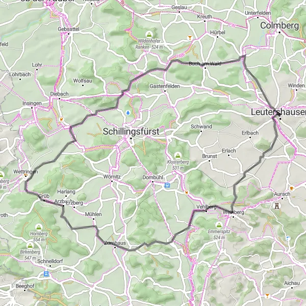
Embark on a 58-kilometer road adventure through the beautiful countryside near Leutershausen. With a total ascent of 471 meters, this route offers a moderate challenge while treating you to breathtaking views along the way. The highlights of the route allow you to discover unique landmarks and noteworthy spots. Whether you're a seasoned cyclist or a beginner, this scenic road ride is sure to captivate and inspire.
road
58 km
471 m
Chill
Route profile
Highlights on the route
0 km
0 km
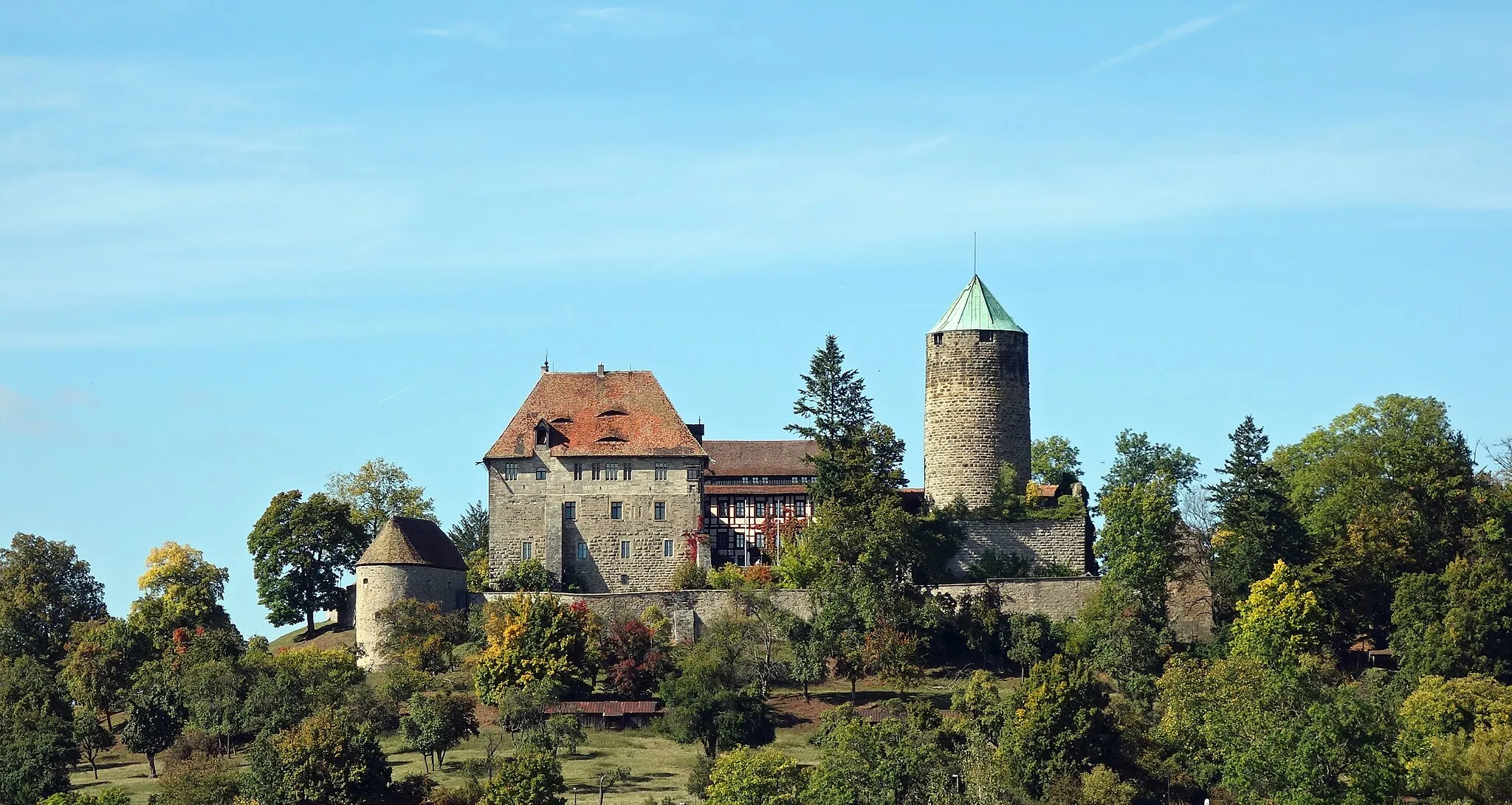
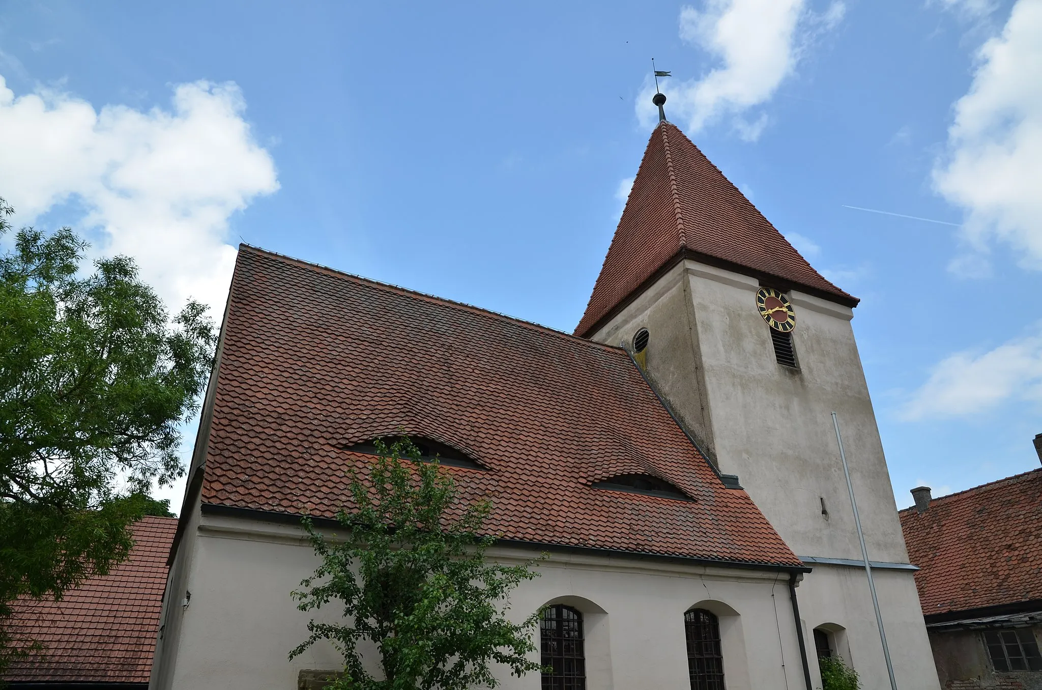
Start: Leutershausen City centerLeutershausen: Exploring the scenic countryside of Mittelfranken on two wheels
Leutershausen, located in Mittelfranken region of Germany, is a cyclist-friendly locality with a mix of flat and hilly terrain. The town itself offers quaint shops and cafes where cyclists can rest and refuel. Leutershausen is surrounded by idyllic countryside, featuring rolling hills and peaceful rural roads. Nearby, cyclists can explore the Romantic Road, a popular tourist route known for its picturesque villages and historic landmarks. With its picturesque landscapes and cycling-friendly atmosphere, Leutershausen is a great destination for road and gravel cyclists looking to explore the beauty of Mittelfranken.0 km
0 km
Kühnberg450 mPeak24 km
24 km
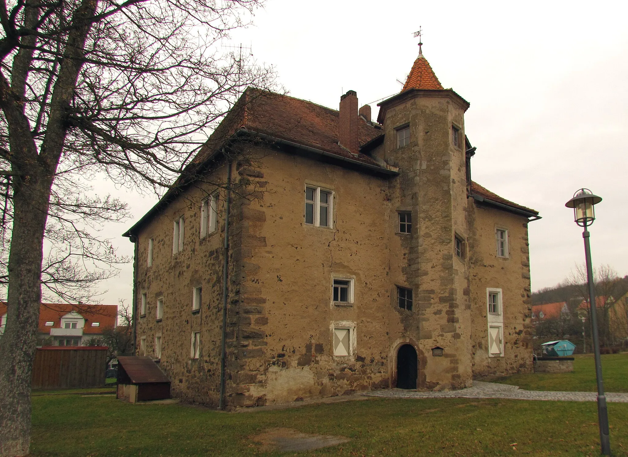
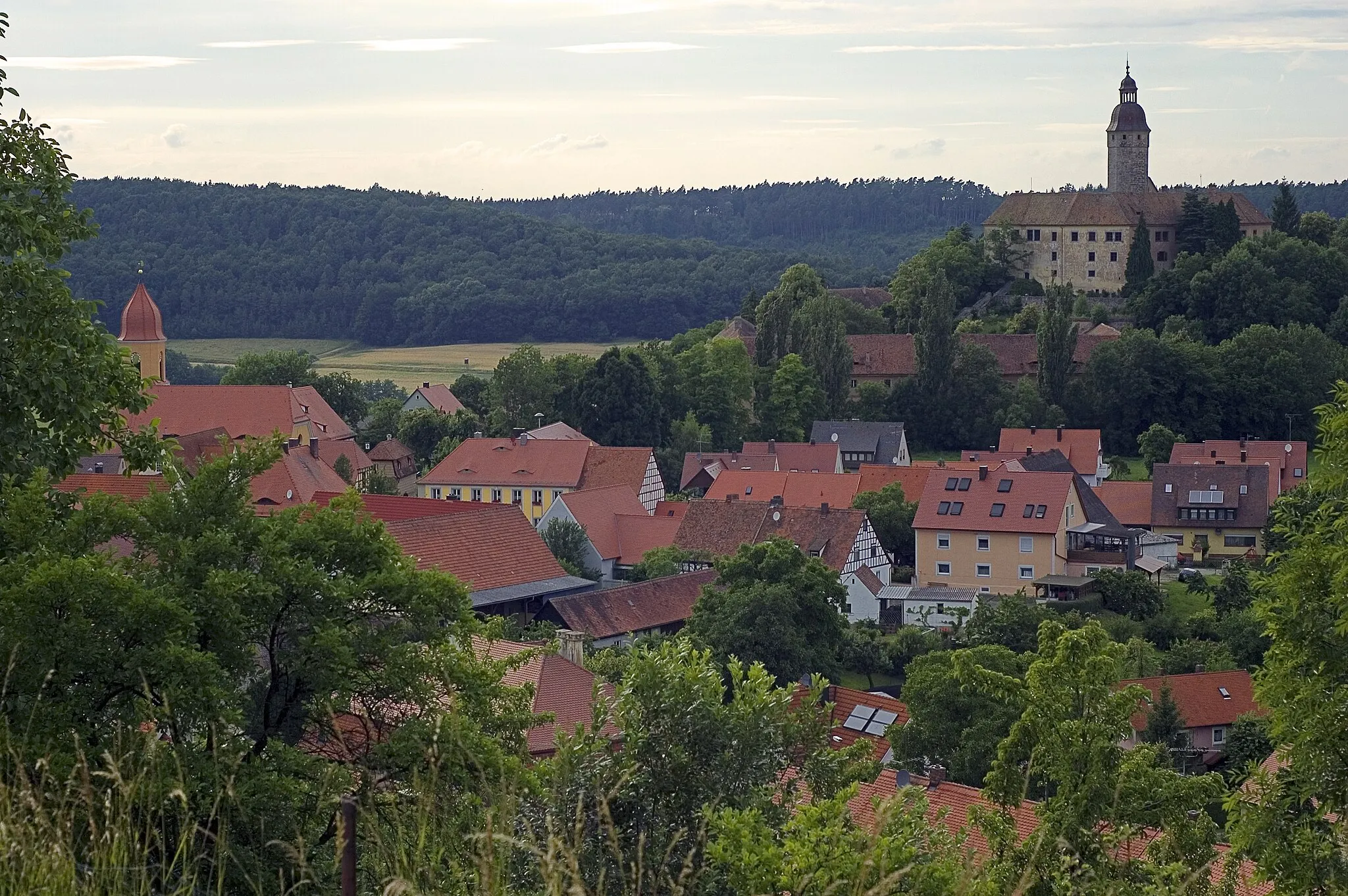
WildenholzVillageAt the 24-kilometer mark, Wildenholz welcomes you with its charming old buildings.
28 km
28 km
Grüber Ranken546 mPeakGrüber Ranken, 28 kilometers into the ride, is a peaceful spot known for its untouched nature.
40 km
40 km
Vorderer Grasbühl472 mPeakVorderer Grasbühl, at 40 kilometers, offers a serene atmosphere and fantastic panoramic views.
41 km
41 km
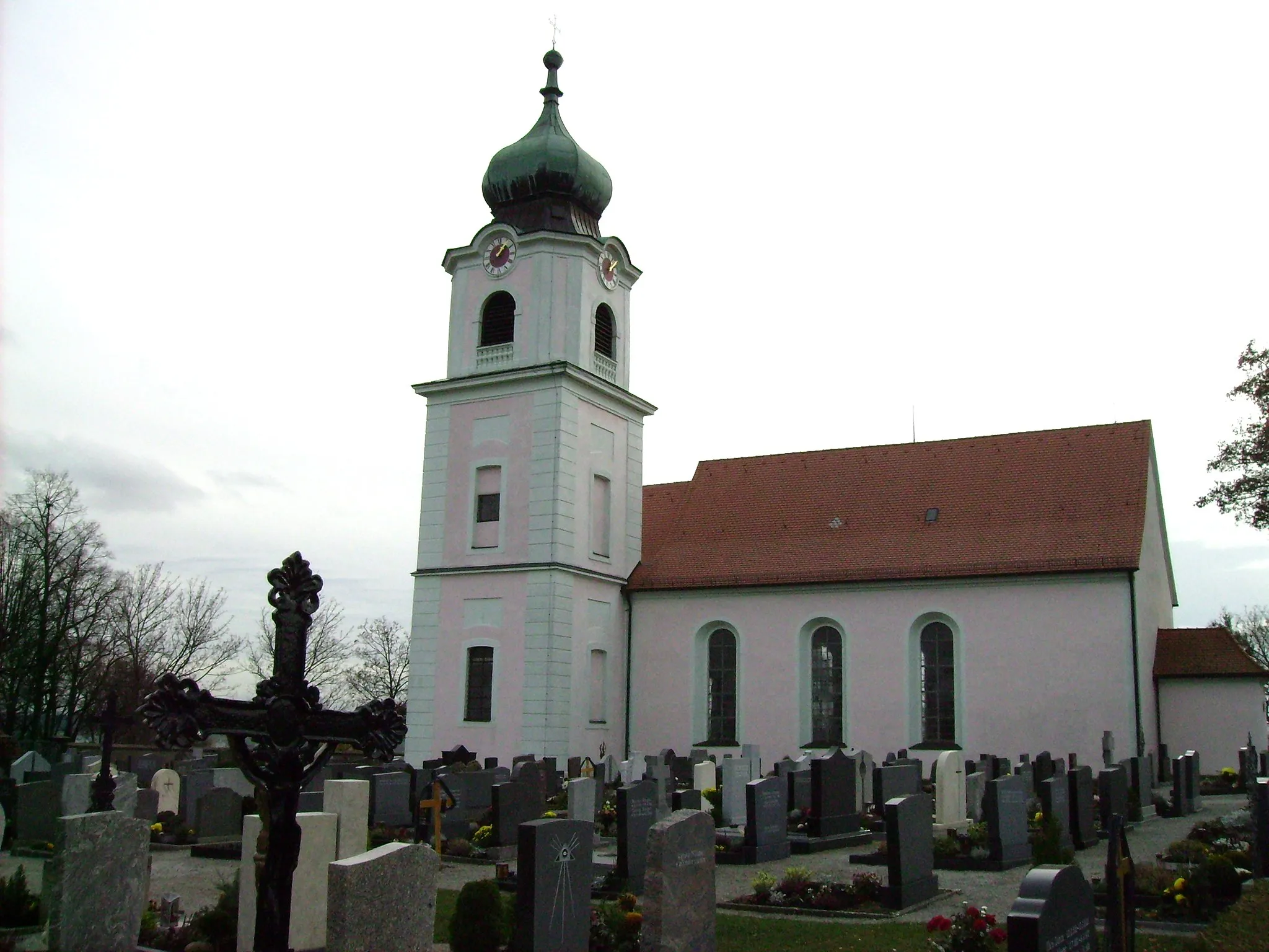
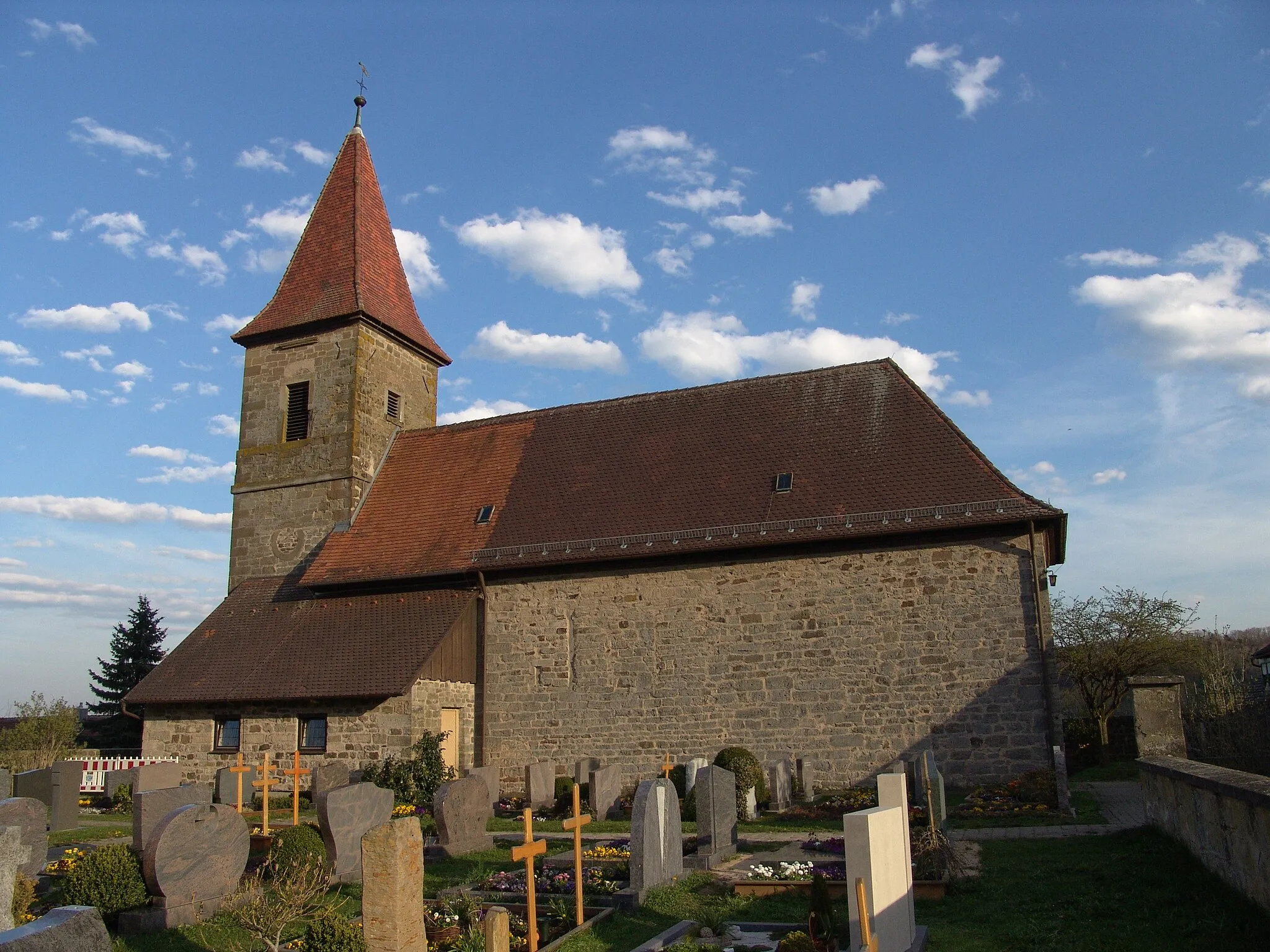
FaulenbergVillageFaulenberg, reached at 41 kilometers, is a beautiful hillside location with stunning vistas.
49 km
49 km
Buch am WaldVillageBuch am Wald, the final highlight at 49 kilometers, is a quiet village bordered by dense forests.
55 km
55 km
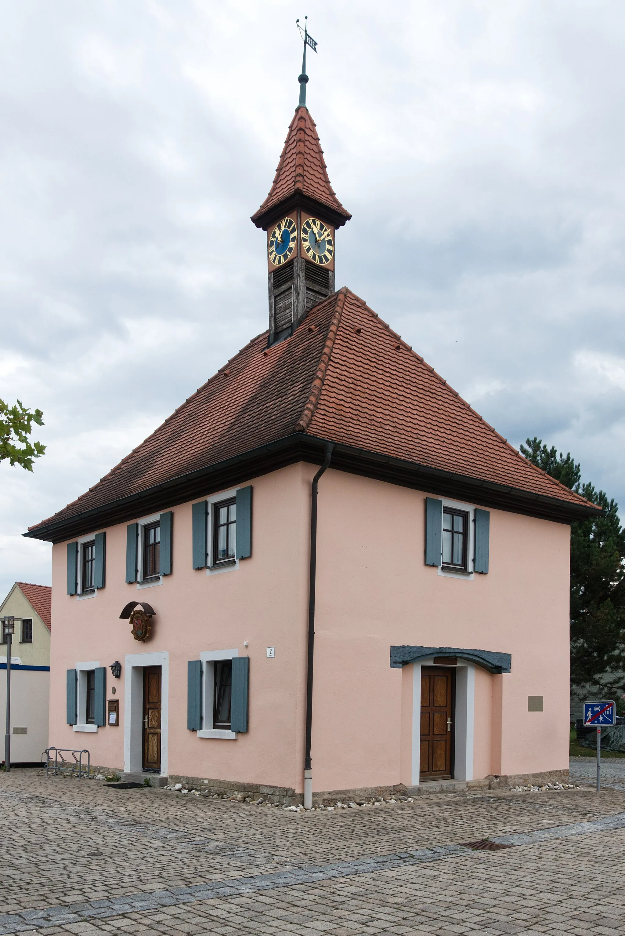
JochsbergVillageJochsberg, located at the 55-kilometer mark, offers captivating views of the surrounding landscape.
58 km
58 km
Finish: Leutershausen City centerLeutershausen: Exploring the scenic countryside of Mittelfranken on two wheels
Cycling routes nearby: