Jochsberg Gravel Ride
A gravel cycling route starting from Leutershausen
A thrilling gravel ride through the scenic Jochsberg area.
Map

This 50-kilometer gravel ride takes you through the picturesque Jochsberg region. With a total ascent of 571 meters, the route offers a satisfying challenge while showcasing the natural beauty of the area. As a predominantly gravel route, it allows you to explore off-road paths and enjoy a sense of adventure. The route passes through various highlights along the way, offering opportunities to discover interesting landmarks and viewpoints.
gravel
50 km
571 m
Tough
Route profile
Highlights on the route
0 km
0 km
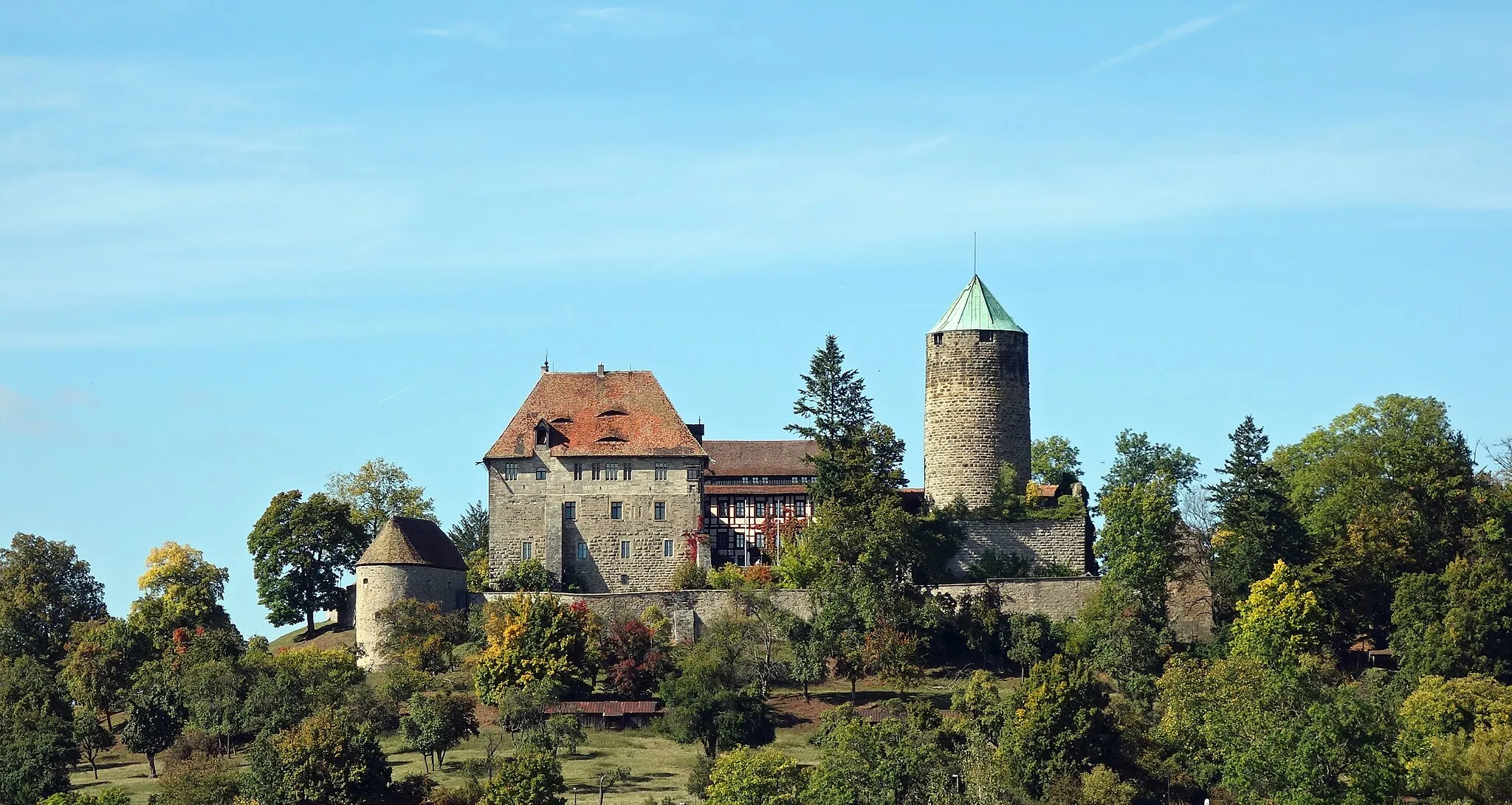
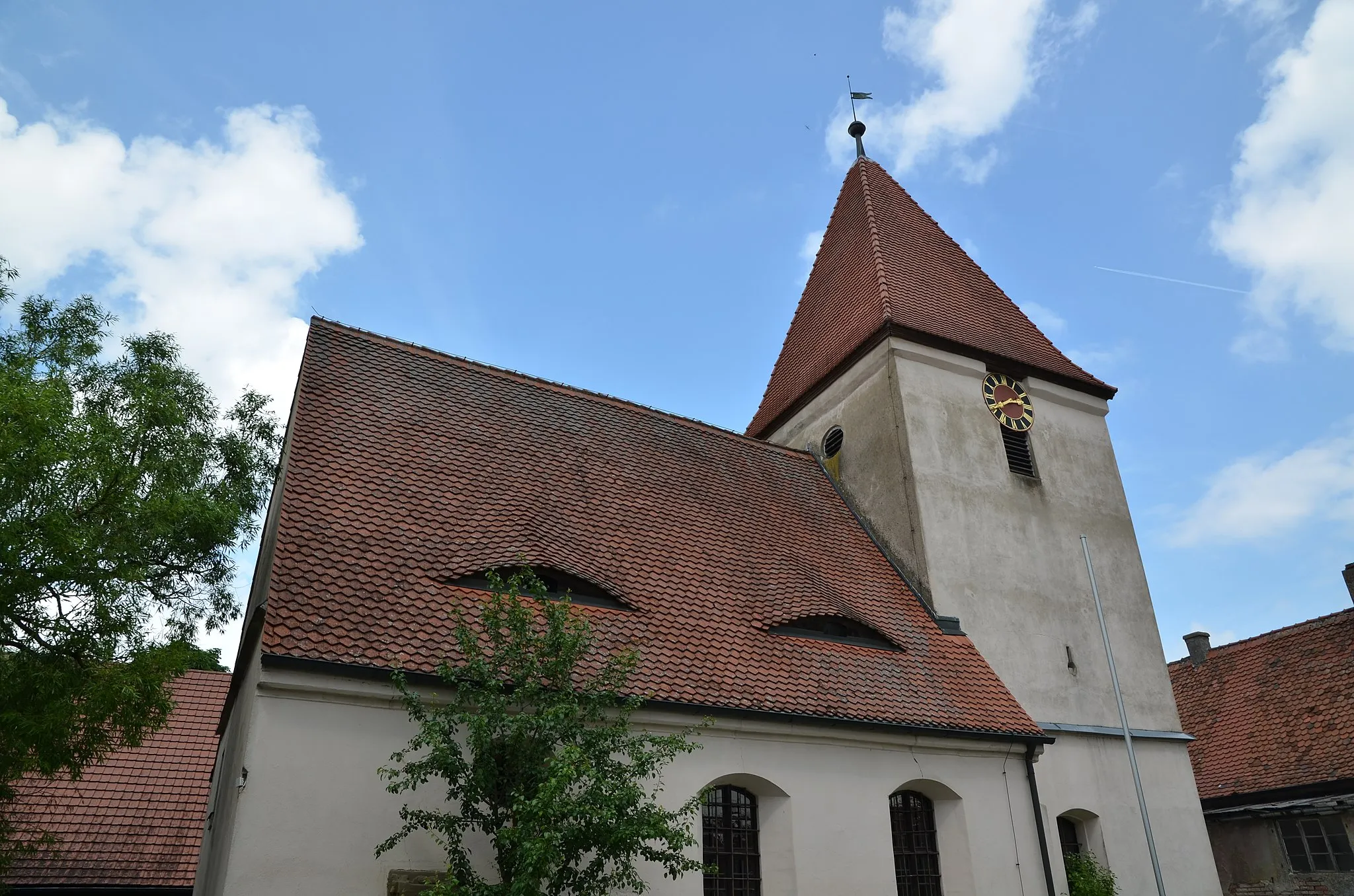
Start: Leutershausen City centerLeutershausen: Exploring the scenic countryside of Mittelfranken on two wheels
Leutershausen, located in Mittelfranken region of Germany, is a cyclist-friendly locality with a mix of flat and hilly terrain. The town itself offers quaint shops and cafes where cyclists can rest and refuel. Leutershausen is surrounded by idyllic countryside, featuring rolling hills and peaceful rural roads. Nearby, cyclists can explore the Romantic Road, a popular tourist route known for its picturesque villages and historic landmarks. With its picturesque landscapes and cycling-friendly atmosphere, Leutershausen is a great destination for road and gravel cyclists looking to explore the beauty of Mittelfranken.2 km
2 km
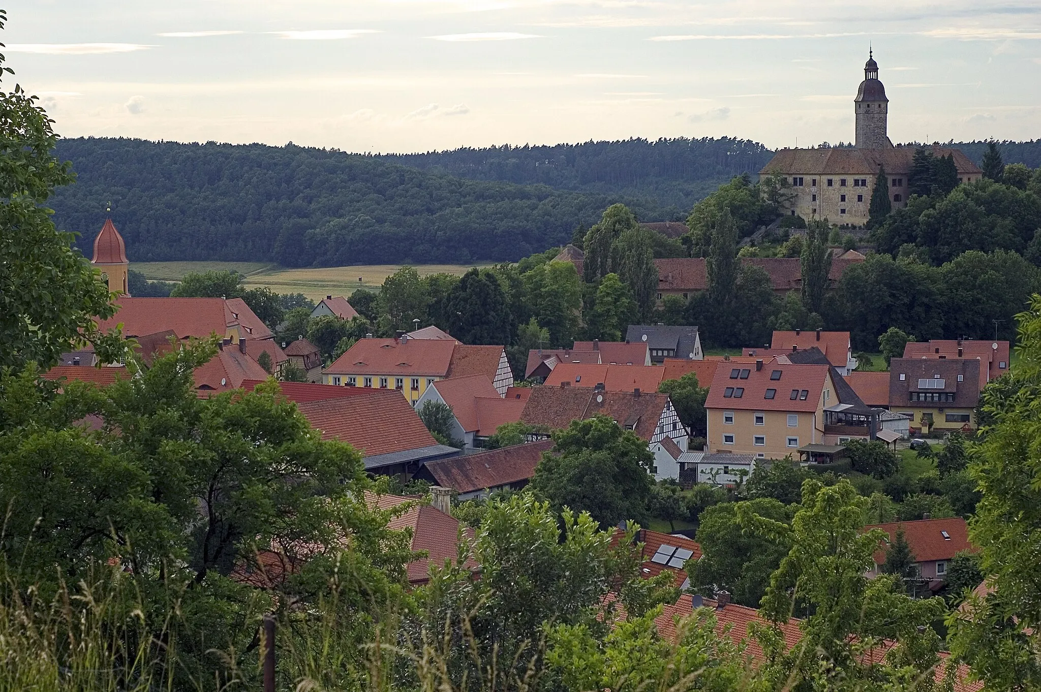
JochsbergVillageLocated at the 2-kilometer mark, Jochsberg offers stunning panoramic views of the surrounding countryside.
12 km
12 km
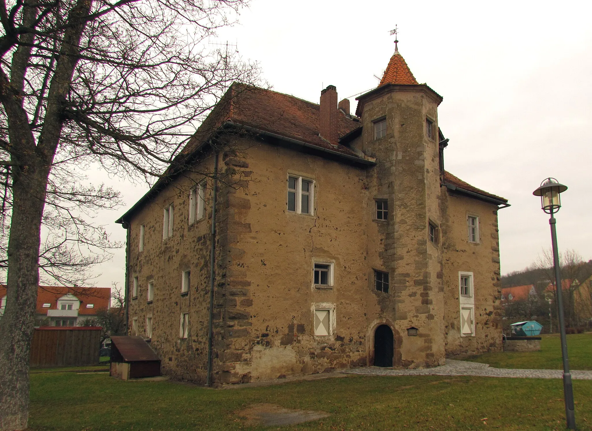
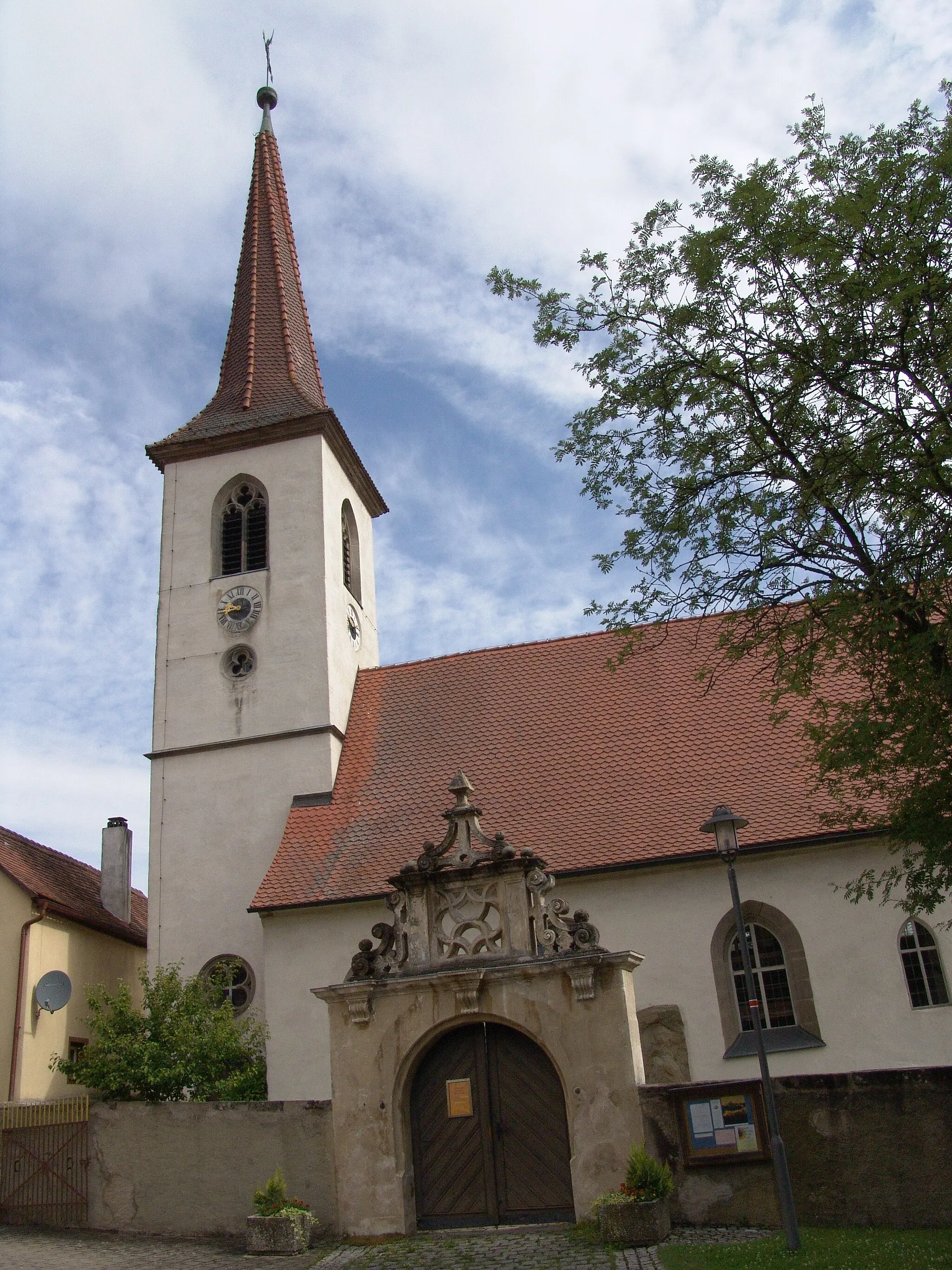
Donnersberg464 mPeakDonnersberg, 12 kilometers into the ride, is a small village with historical charm.
19 km
19 km
Eichbuck509 mPeakAt 19 kilometers, Eichbuck invites you to take a break and enjoy its peaceful atmosphere.
26 km
26 km
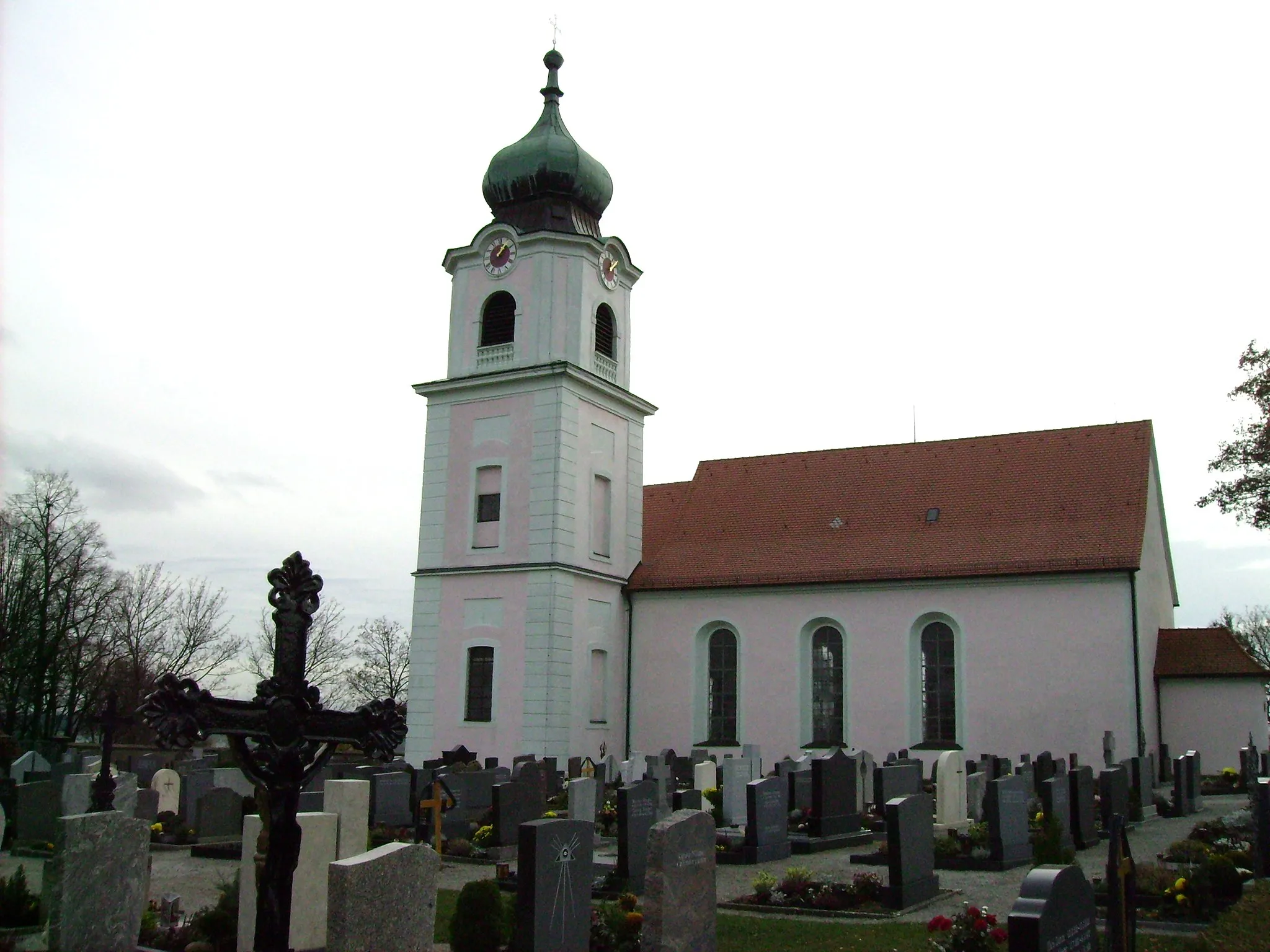
MarktbergelVillageMarktbergel, located at the 26-kilometer mark, is a quaint town known for its traditional architecture.
36 km
36 km
Deutscher Bühl526 mPeakDeutscher Bühl, at 36 kilometers, is a peak offering breathtaking views of the surrounding landscapes.
45 km
45 km
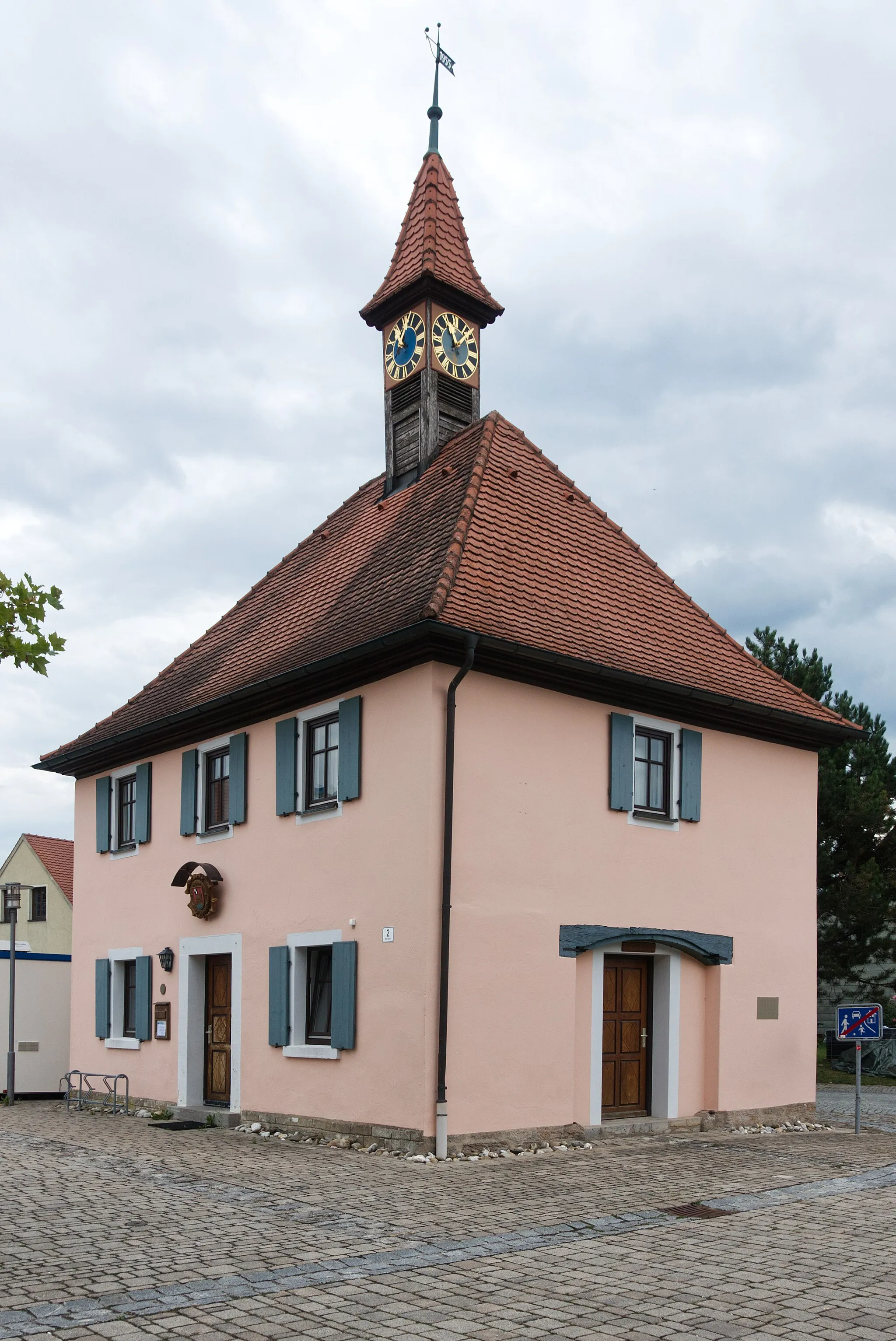
OberramstadtVillageOberramstadt, the final highlight at 45 kilometers, is a charming village set amidst rolling hills.
50 km
50 km
Finish: Leutershausen City centerLeutershausen: Exploring the scenic countryside of Mittelfranken on two wheels
Cycling routes nearby: