Ultimate Road Challenge
A road cycling route starting from Leutershausen
A challenging 115-kilometer road ride with breathtaking ascents.
Map
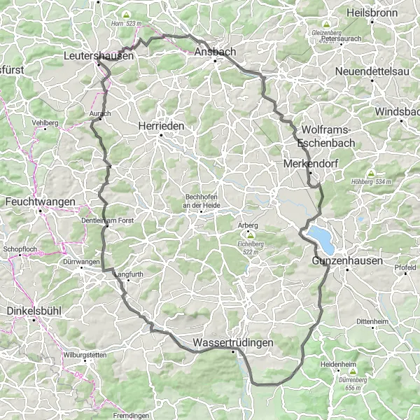
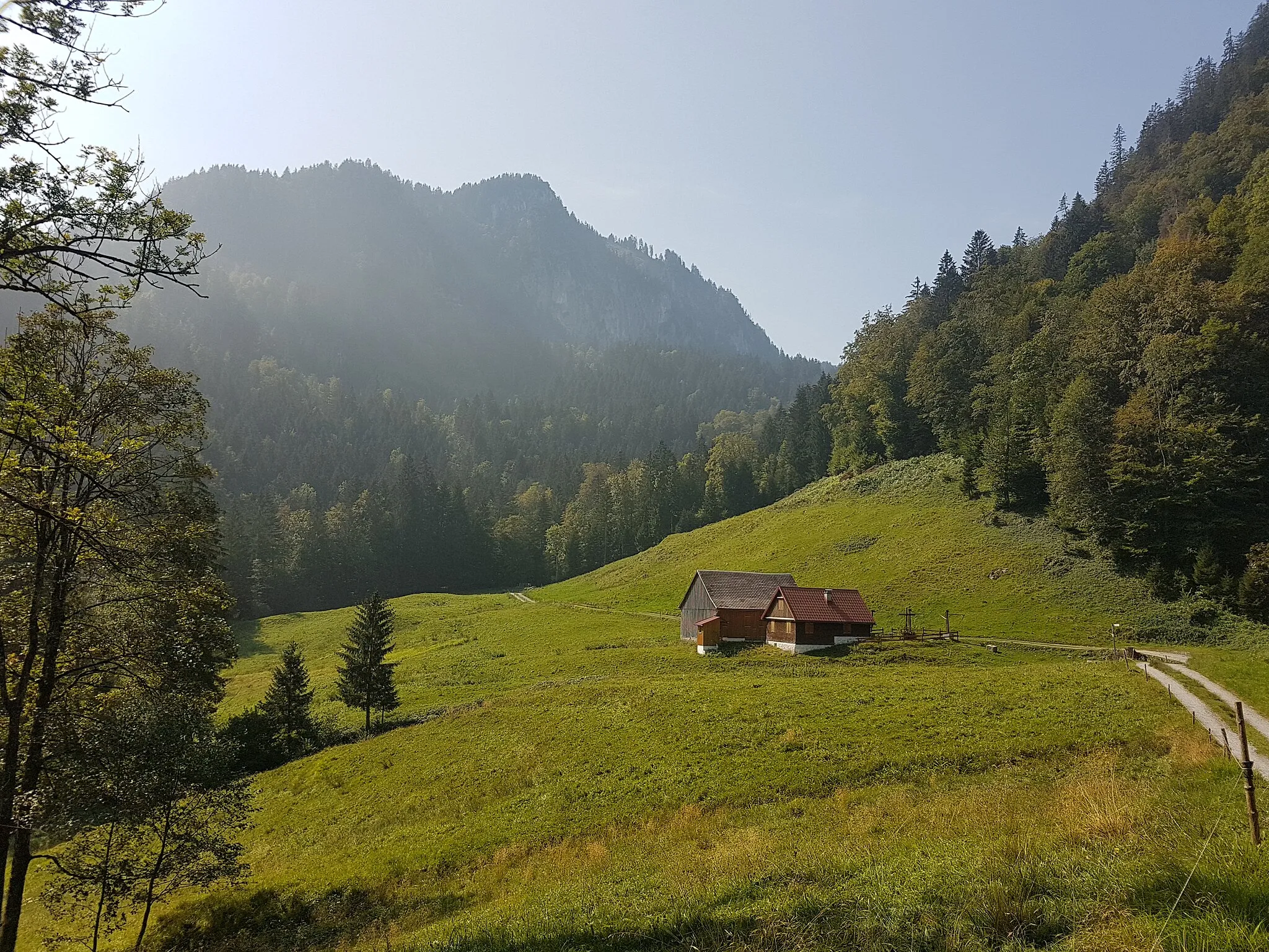
Get ready for the ultimate road cycling challenge with this 115-kilometer ride near Leutershausen. With a daunting ascent of 851 meters, this route is reserved for experienced cyclists seeking an epic adventure. Along the way, you'll encounter scenic landscapes and exceptional landmarks that showcase the beauty of the region. Prepare to push your limits and revel in the sense of achievement as you conquer this demanding road ride.
road
115 km
851 m
Savage
Route profile
Highlights on the route
0 km
0 km
Start: Leutershausen City centerLeutershausen: Exploring the scenic countryside of Mittelfranken on two wheels
Leutershausen, located in Mittelfranken region of Germany, is a cyclist-friendly locality with a mix of flat and hilly terrain. The town itself offers quaint shops and cafes where cyclists can rest and refuel. Leutershausen is surrounded by idyllic countryside, featuring rolling hills and peaceful rural roads. Nearby, cyclists can explore the Romantic Road, a popular tourist route known for its picturesque villages and historic landmarks. With its picturesque landscapes and cycling-friendly atmosphere, Leutershausen is a great destination for road and gravel cyclists looking to explore the beauty of Mittelfranken.11 km
11 km
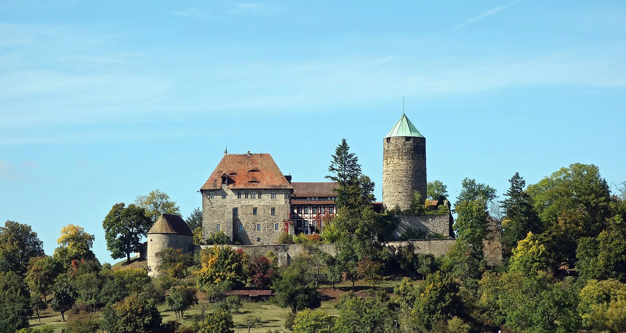
Bocksberg480 mPeakBocksberg, reached at the 11-kilometer mark, treats you to breathtaking views and rewards you for conquering a challenging ascent.
15 km
15 km
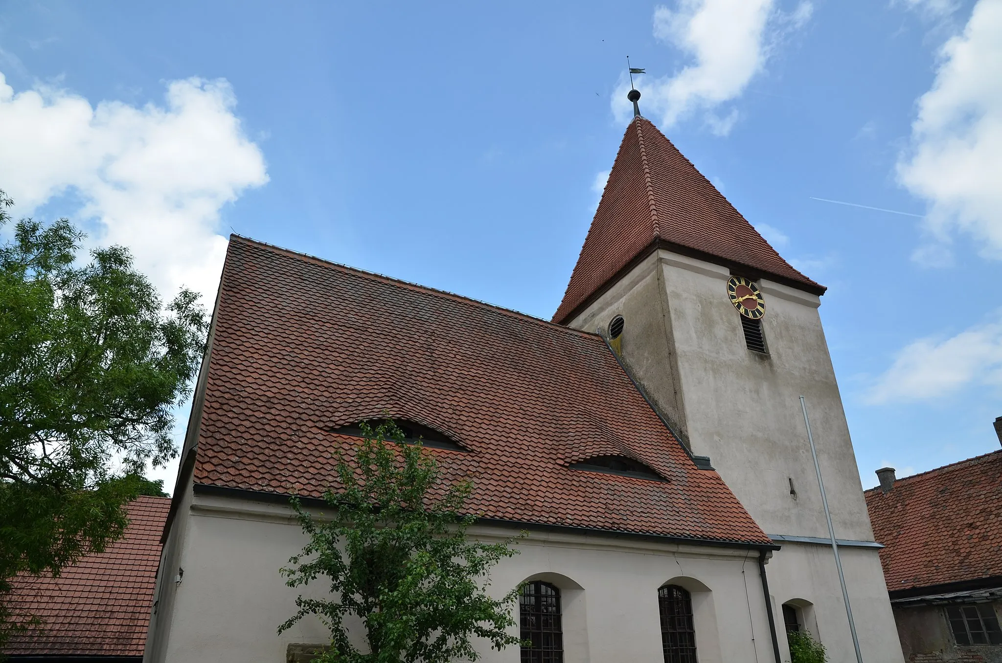
AnsbachTownAnsbach, at 15 kilometers, is a historic city that boasts impressive architecture and charming narrow streets.
33 km
33 km
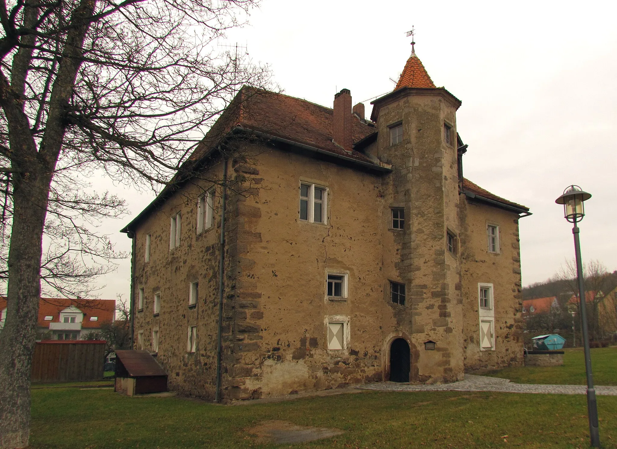
MerkendorfTownMerkendorf, located at the 33-kilometer mark, offers a delightful glimpse into the region's history and culture.
50 km
50 km
Wurmbacher Berg471 mPeakWurmbacher Berg, reached at 50 kilometers, is a renowned climb among cycling enthusiasts, offering breathtaking vistas.
54 km
54 km
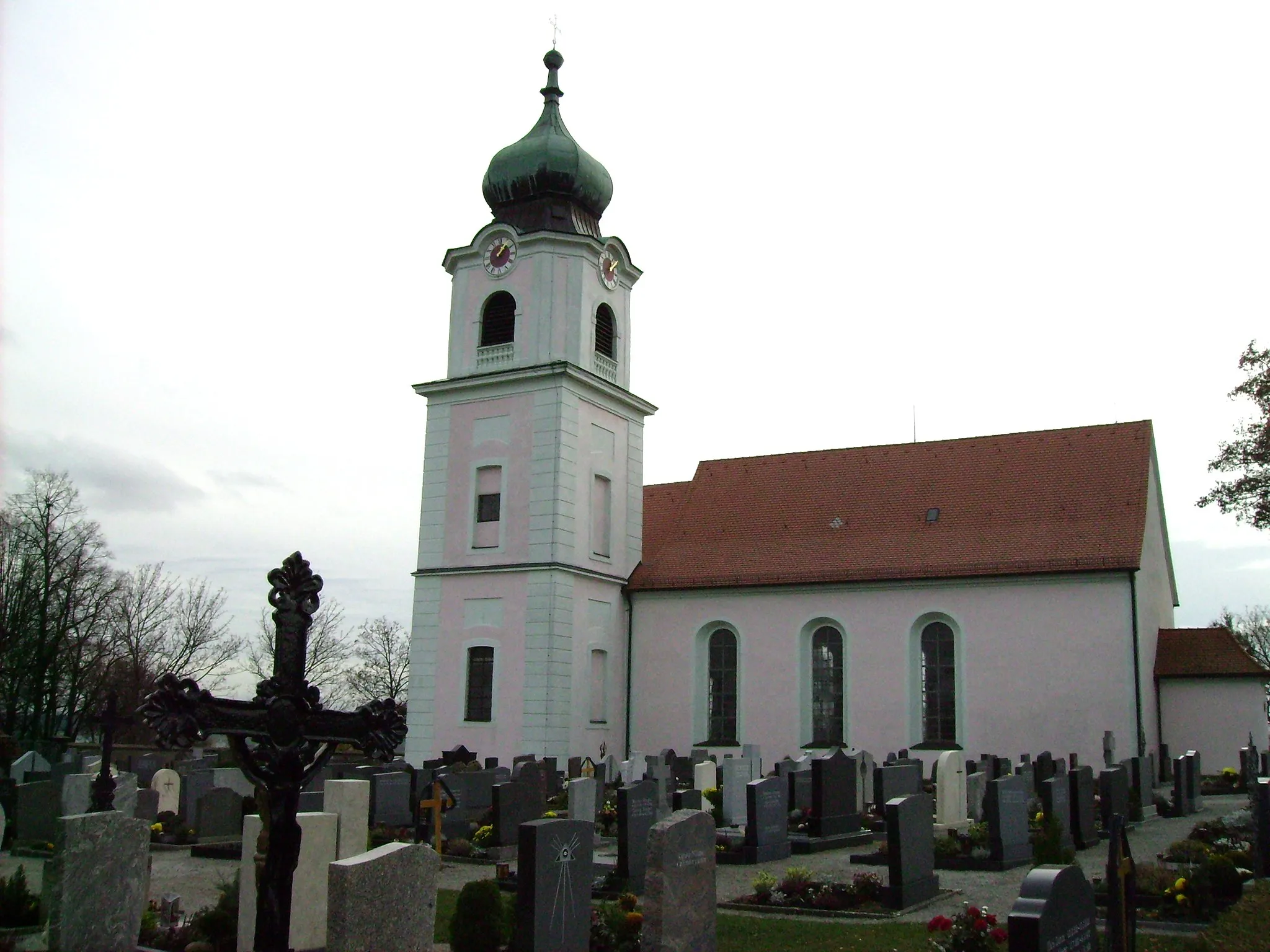
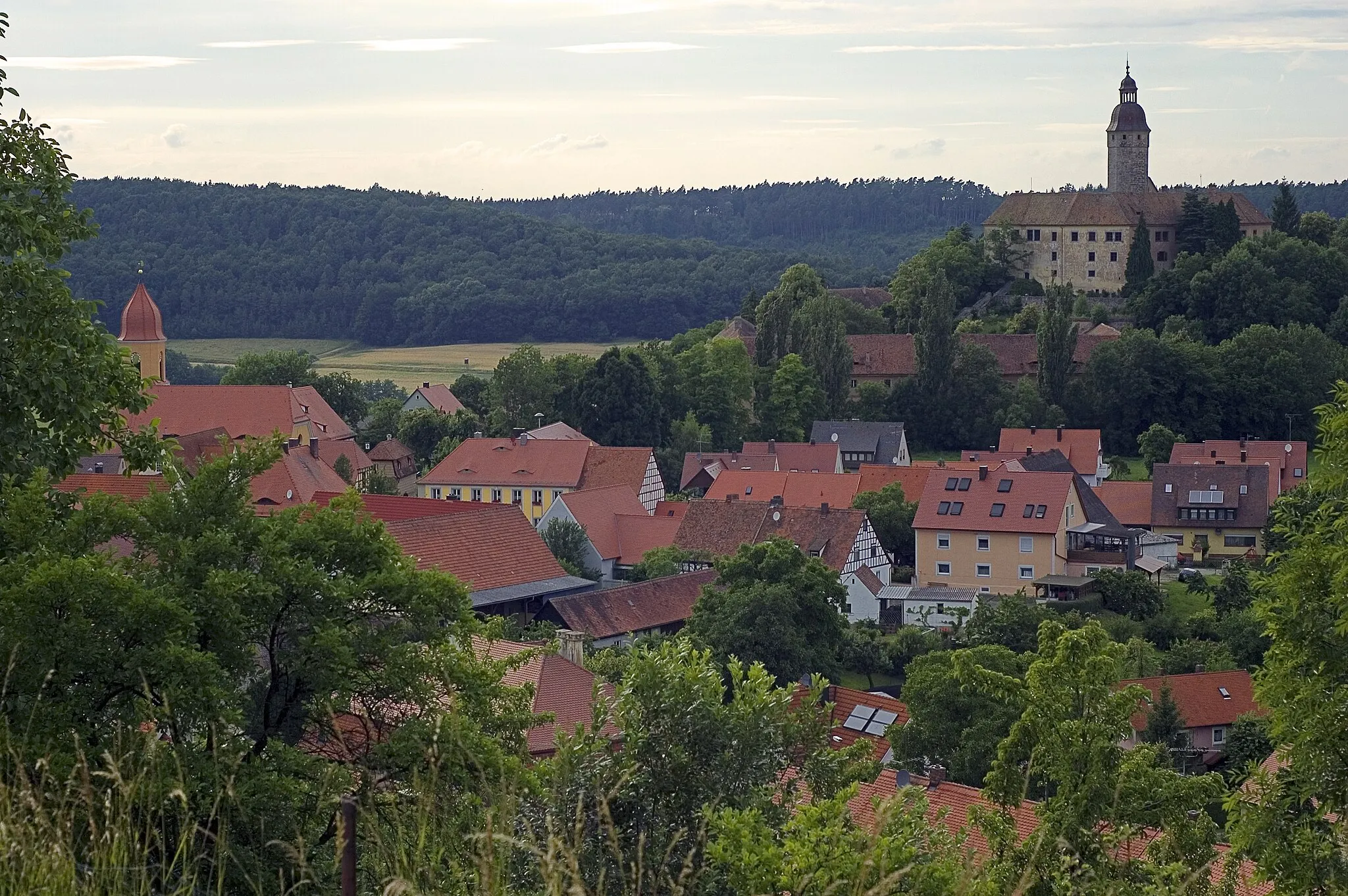
GnotzheimVillageGnotzheim, the highlight at 54 kilometers, is a small village with a rich historical heritage and picturesque landscapes.
66 km
66 km
AuhausenVillageAuhausen, the highlight at 66 kilometers, invites you to explore its captivating medieval architecture.
77 km
77 km
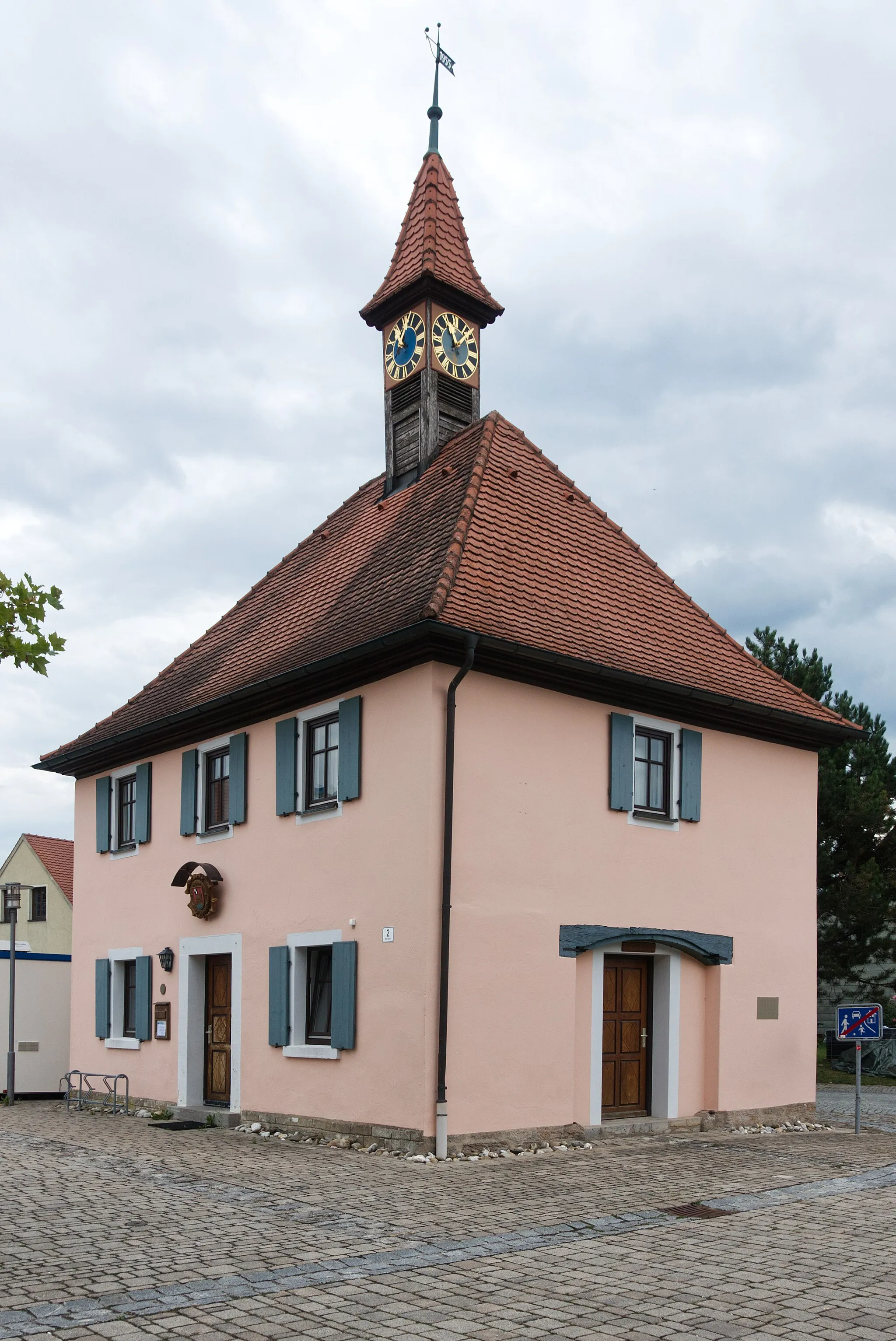
GerolfingenVillageGerolfingen, reached at 77 kilometers, is a legendary spot known for its rural charm and delightful landscapes.
82 km
82 km
Schafbuck458 mPeakSchafbuck, the final highlight at 82 kilometers, rewards you with breathtaking views and a true sense of accomplishment.
94 km
94 km
Dentlein am ForstVillageDentlein am Forst, at 94 kilometers, is a picturesque village nestled amidst idyllic landscapes.
106 km
106 km
Steckberg493 mPeakSteckberg, reached at 106 kilometers, captivates with its dramatic rocky formations and panoramic vistas.
113 km
113 km
Kühnberg450 mPeak114 km
114 km
SachsenVillageSachsen, the last highlight at 114 kilometers, is a charming town featuring well-preserved half-timbered houses and a relaxing atmosphere.
115 km
115 km
Finish: Leutershausen City centerLeutershausen: Exploring the scenic countryside of Mittelfranken on two wheels
Cycling routes nearby: