Scenic Gravel Ride
A gravel cycling route starting from Reichenschwand
A picturesque gravel cycling route through enchanting countryside
Map
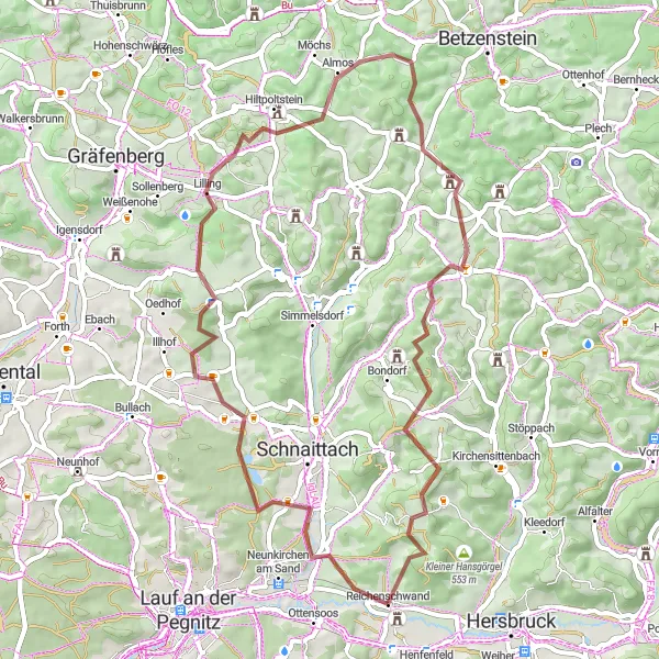
The Scenic Gravel Ride is a picturesque 54 km cycling route starting near Reichenschwand. With an ascent of 911 meters, this gravel adventure offers a perfect mix of beautiful landscapes and exhilarating ride experiences. Cyclists will be immersed in the dazzling scenery of the enchanting countryside, making this route ideal for nature lovers and those seeking a serene cycling expedition.
gravel
54 km
911 m
Tough
Route profile
Highlights on the route
0 km
0 km
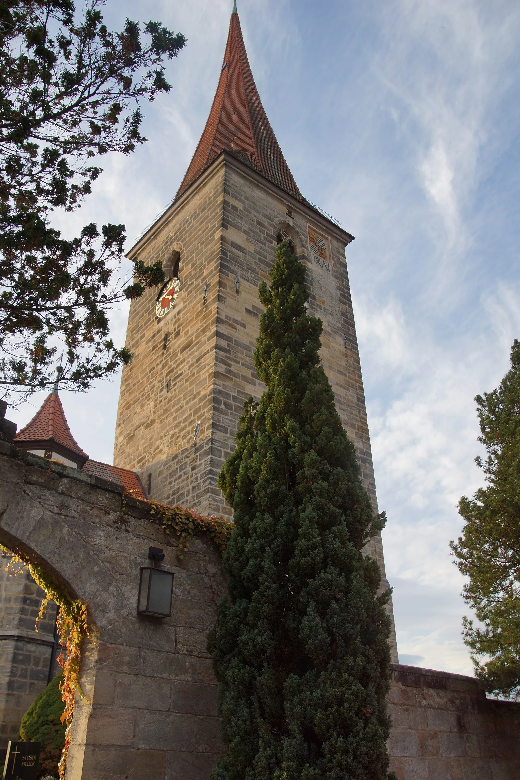
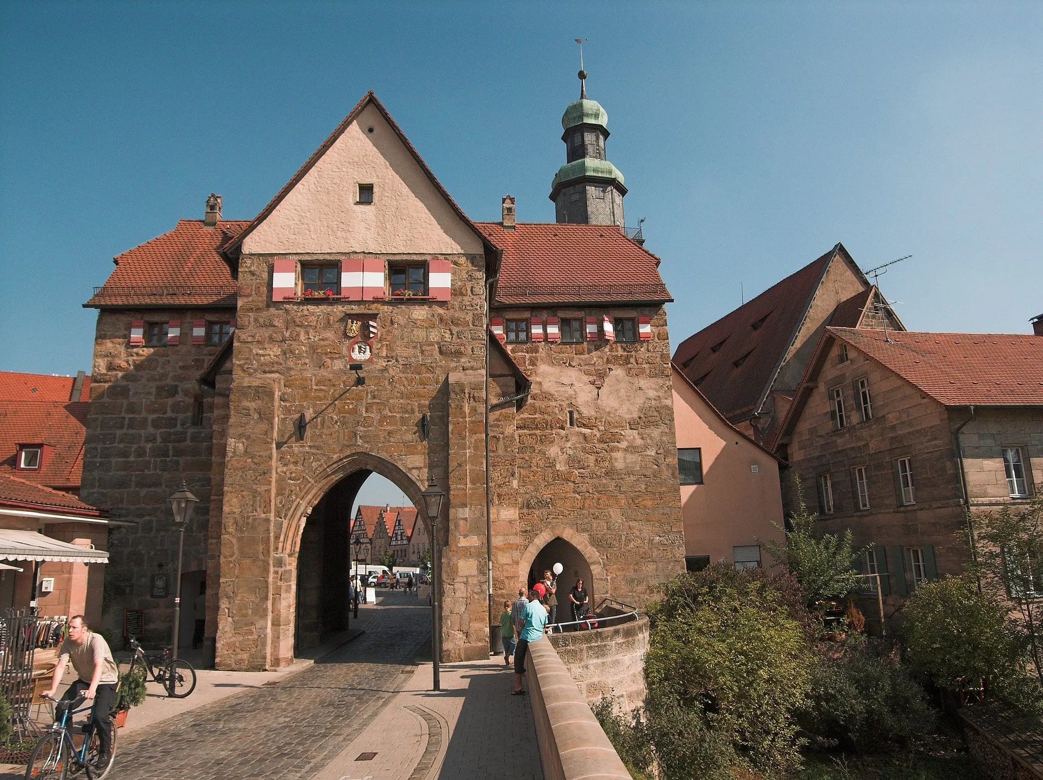
Start: Reichenschwand Village centerReichenschwand: Tranquil countryside with road and gravel routes near famous climbing destination.
Reichenschwand, situated in Mittelfranken, Germany, offers peaceful cycling routes through the Bavarian countryside. Road cyclists can enjoy the well-paved roads that lead to neighboring towns and villages, with pleasant views of farmland and forests along the way. The area also features gravel paths that attract off-road cycling enthusiasts. Reichenschwand is famous for being close to the climbing Mecca of Frankendorf, where cyclists can test their skills on challenging ascents. The town itself offers a quiet and relaxing atmosphere, perfect for unwinding after a long ride.8 km
8 km
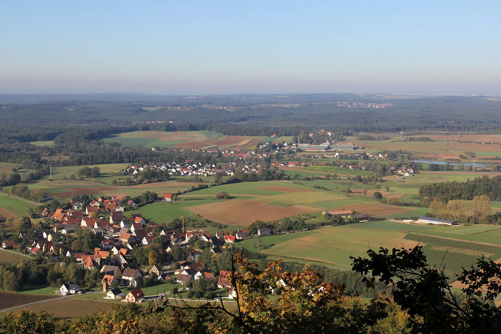
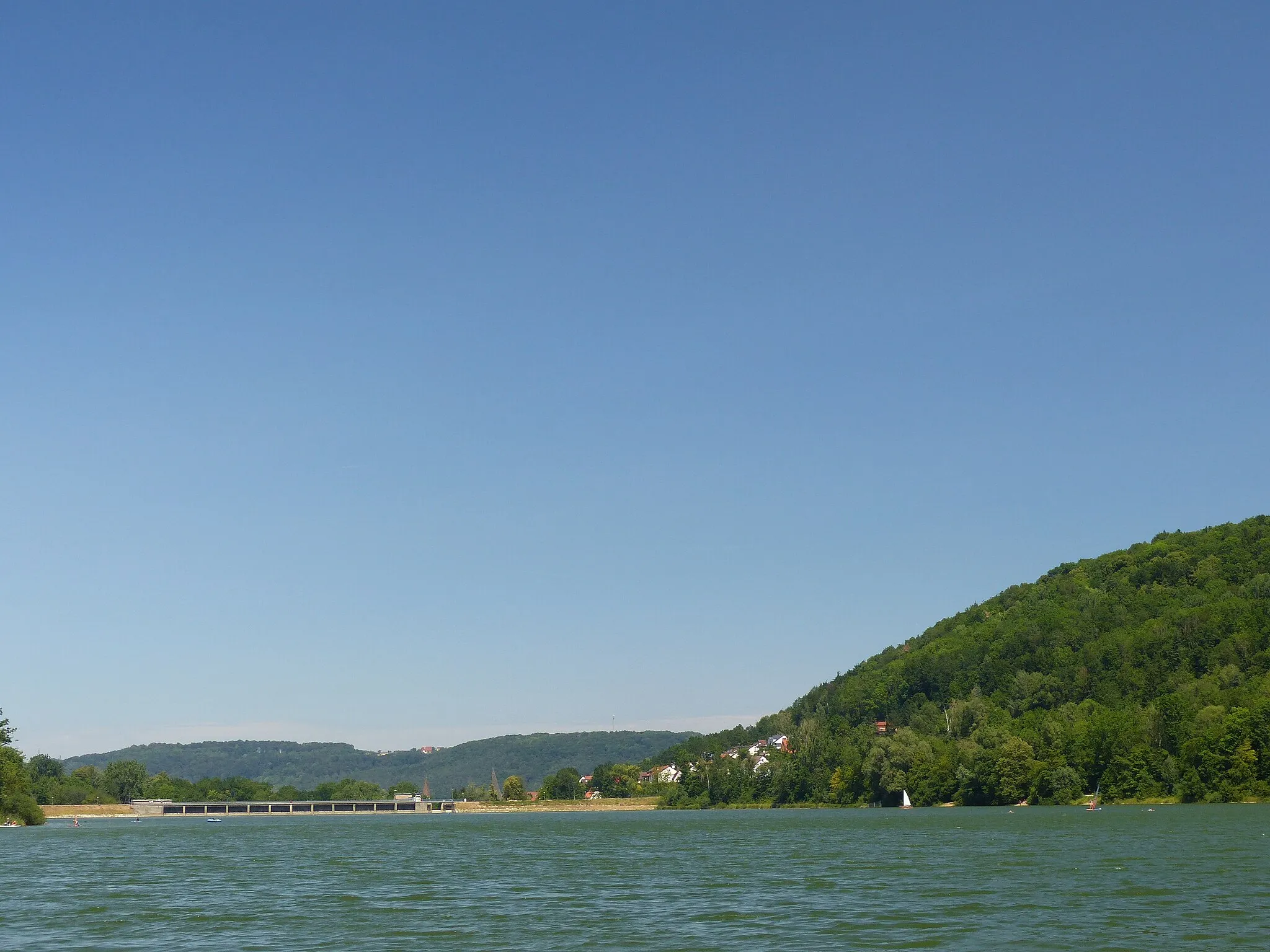
Eichelberg384 mPeakEichelberg, located 8 km along the route, treats cyclists to mesmerizing views of the surrounding valleys and forests, bringing riders closer to nature.
24 km
24 km
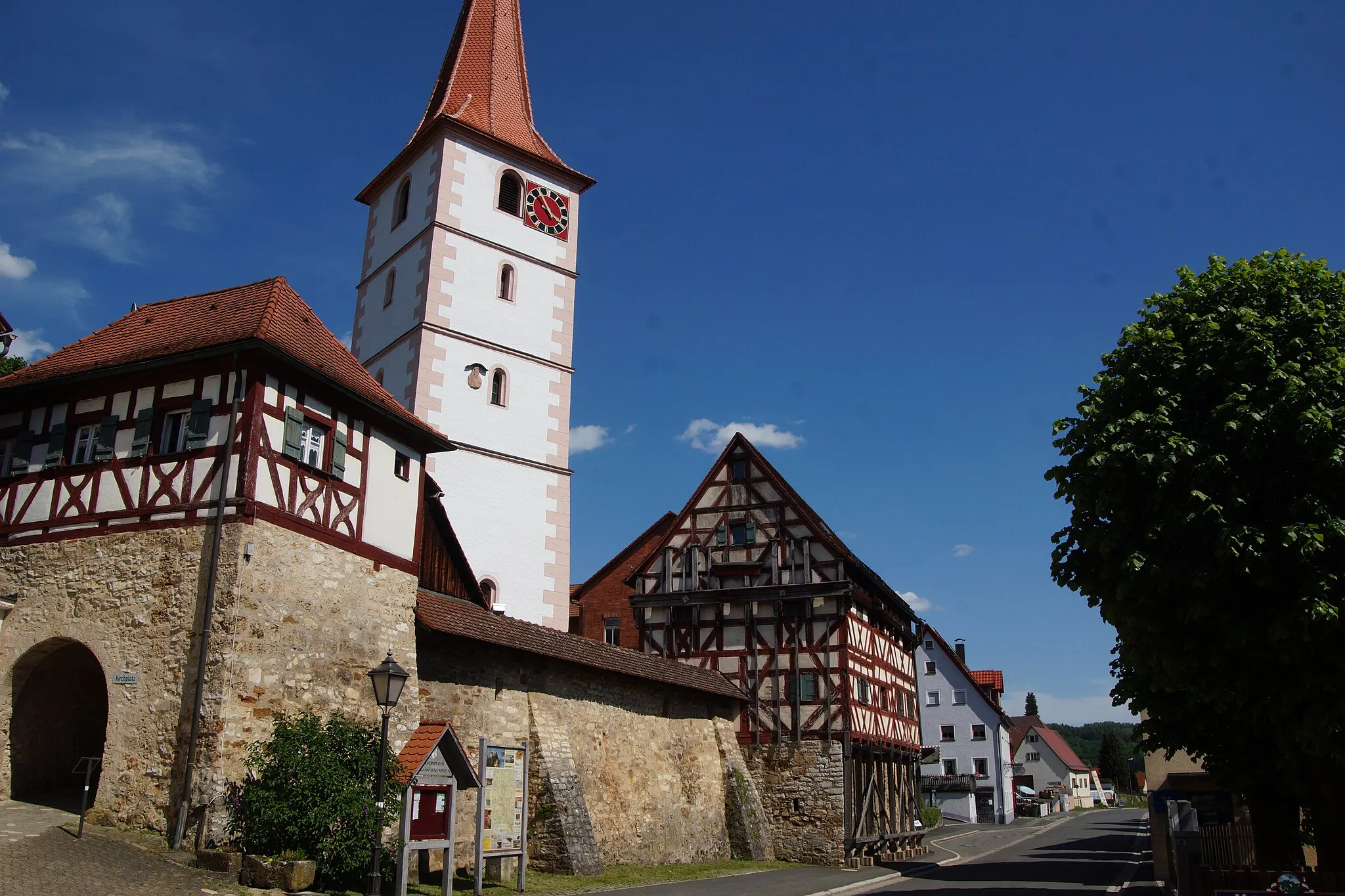
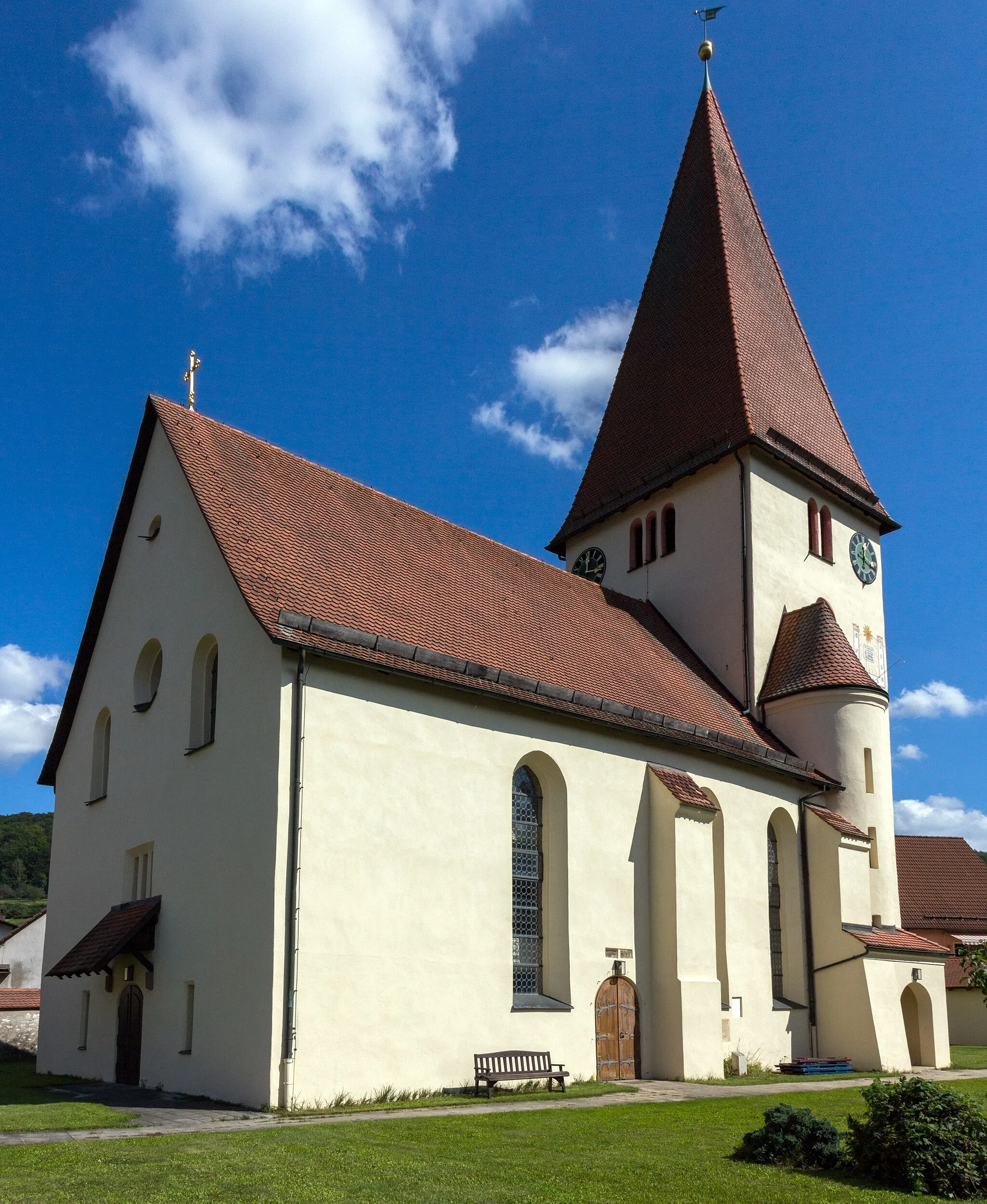
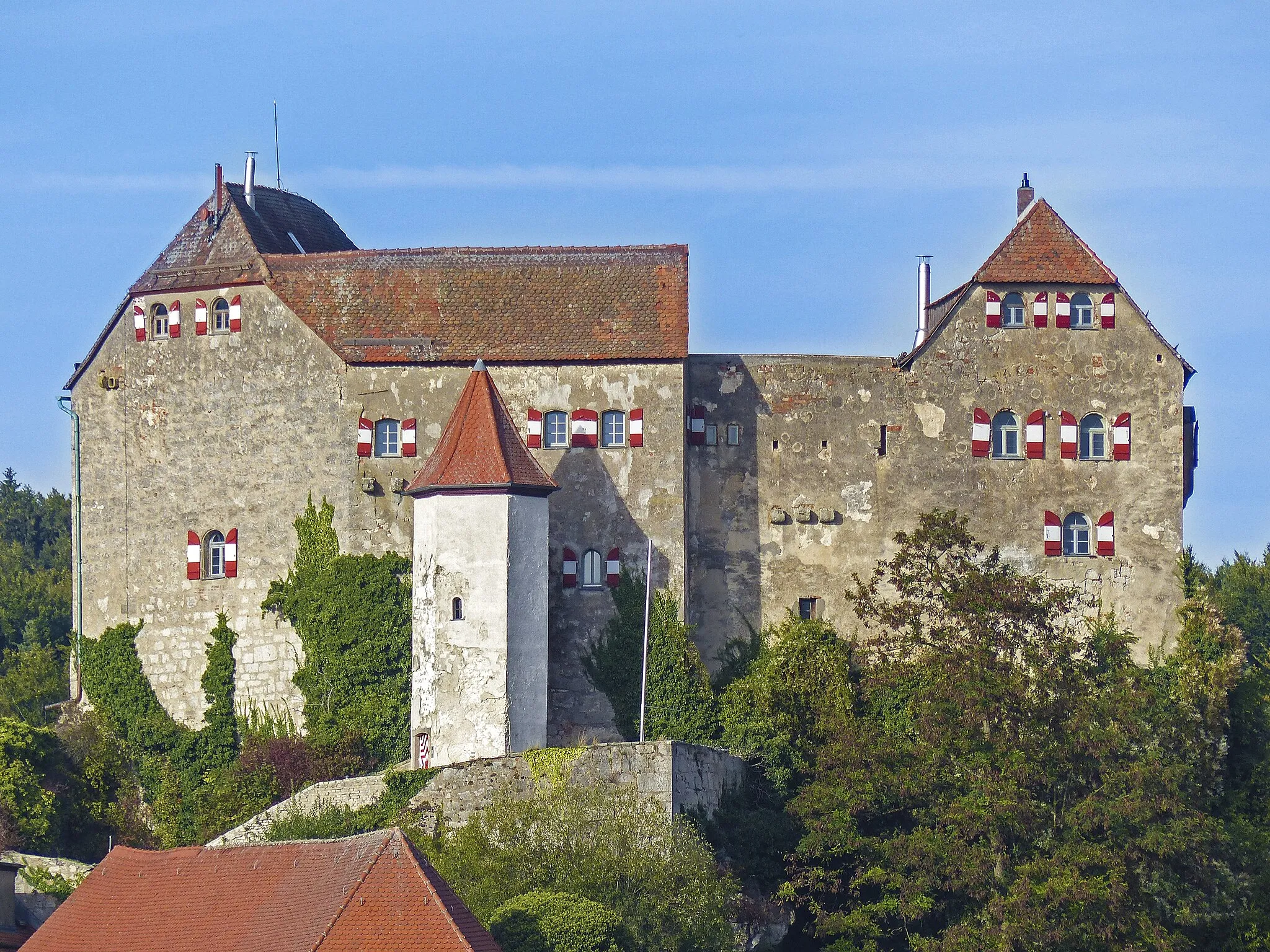
HiltpoltsteinVillageHiltpoltstein, situated 24 km on the route, is a tranquil village blessed with rapturous scenery that awakens the adventurous spirit within each cyclist passing through.
25 km
25 km
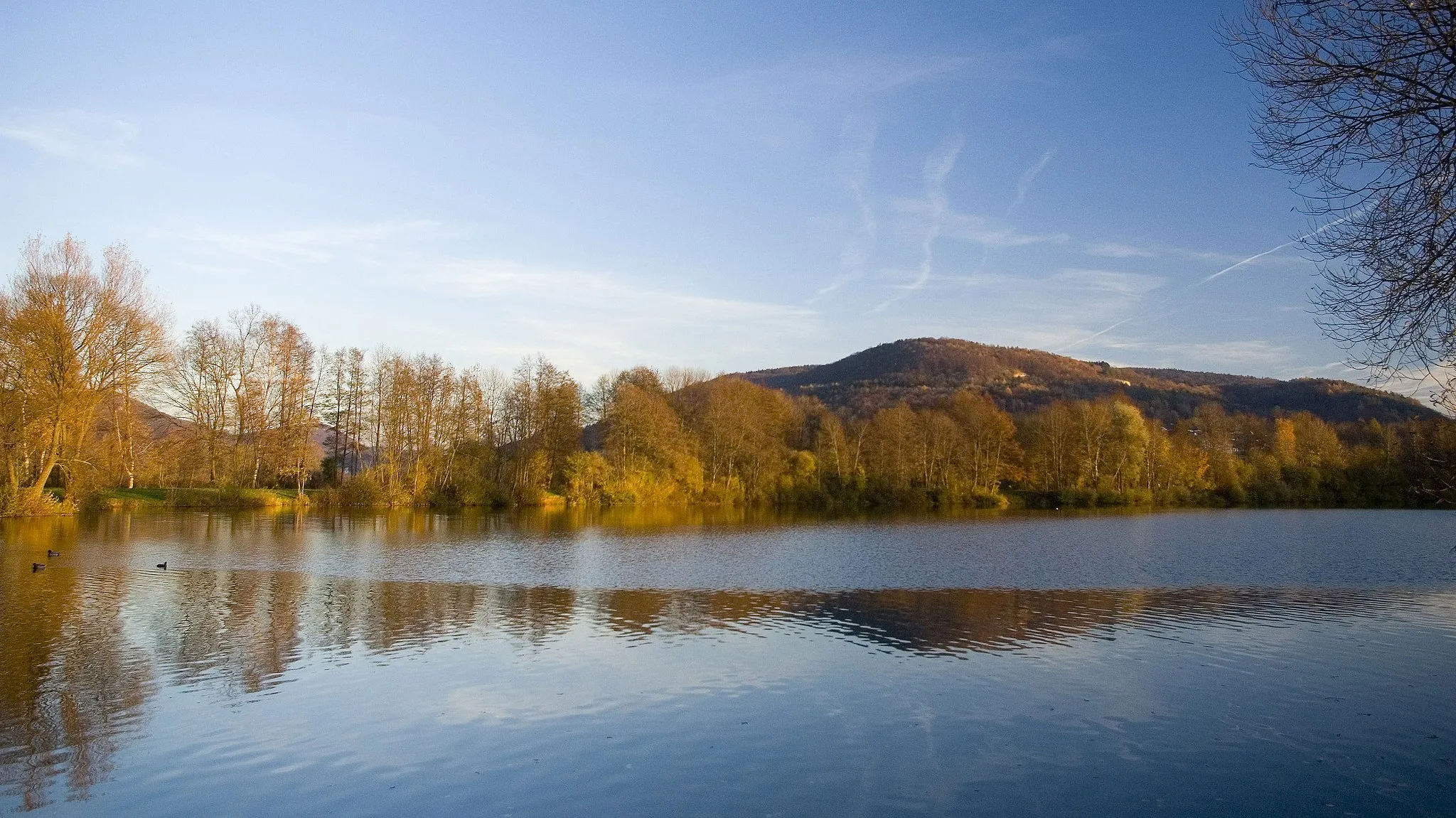
Eschenberg598 mPeakEschenberg, found 25 km on the route, is a peaceful area offering serenity and the opportunity to absorb the enchantment of the nearby nature reserves.
37 km
37 km
Sattelbogen565 mPeakSattelbogen, located 37 km along the route, rewards cyclists with panoramic vistas showcasing the surrounding beauty, making it a must-stop spot to rejuvenate.
38 km
38 km
HormersdorfVillageHormersdorf, situated 38 km on the route, is a charming village tucked away amidst rolling hills, captivating riders with its tranquil atmosphere and scenic charm.
49 km
49 km
OberkrumbachVillageOberkrumbach, found 49 km on the route, invites riders into its serene and idyllic setting, surrounded by picturesque natural landscapes and traditional architecture.
51 km
51 km
Großer Hansgörgel601 mPeakGroßer Hansgörgel, located 51 km along the route, entices cyclists with magnificent views from its lofty heights, creating an unforgettable experience in the midst of nature's splendor.
54 km
54 km
Finish: Reichenschwand Village centerReichenschwand: Tranquil countryside with road and gravel routes near famous climbing destination.
Cycling routes from Reichenschwand:
Scenic Countryside and Challenging Hills Scenic Gravel Ride Gravel Adventure Reichenschwand Gravel Loop Sandberg Loop Exploring Wild Nature Hulmberg Challenge Exploring Nature and Medieval Towns Historical Hills and Scenic Gorges Off-Road Adventure and Castle Exploration The Hilly Adventure The Gravel Gem The Picturesque Loop
Cycling routes nearby: