Gravel Adventure
A gravel cycling route starting from Reichenschwand
A thrilling gravel cycling route with stunning landscapes
Map
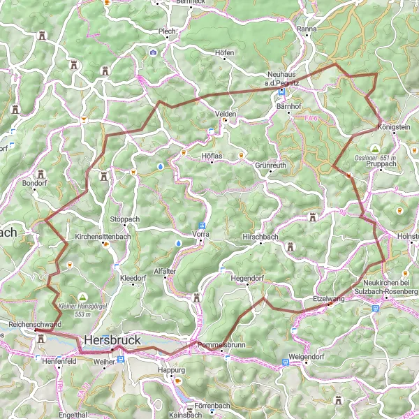
The Gravel Adventure is an exhilarating cycling route ideal for gravel enthusiasts. Starting near Reichenschwand, this 70 km route features 1323 meters of ascent, making it a challenging adventure for avid cyclists. The scenic landscapes and varied terrains provide a thrilling experience, ensuring an unforgettable ride.
gravel
70 km
1323 m
Tough
Route profile
Highlights on the route
0 km
0 km
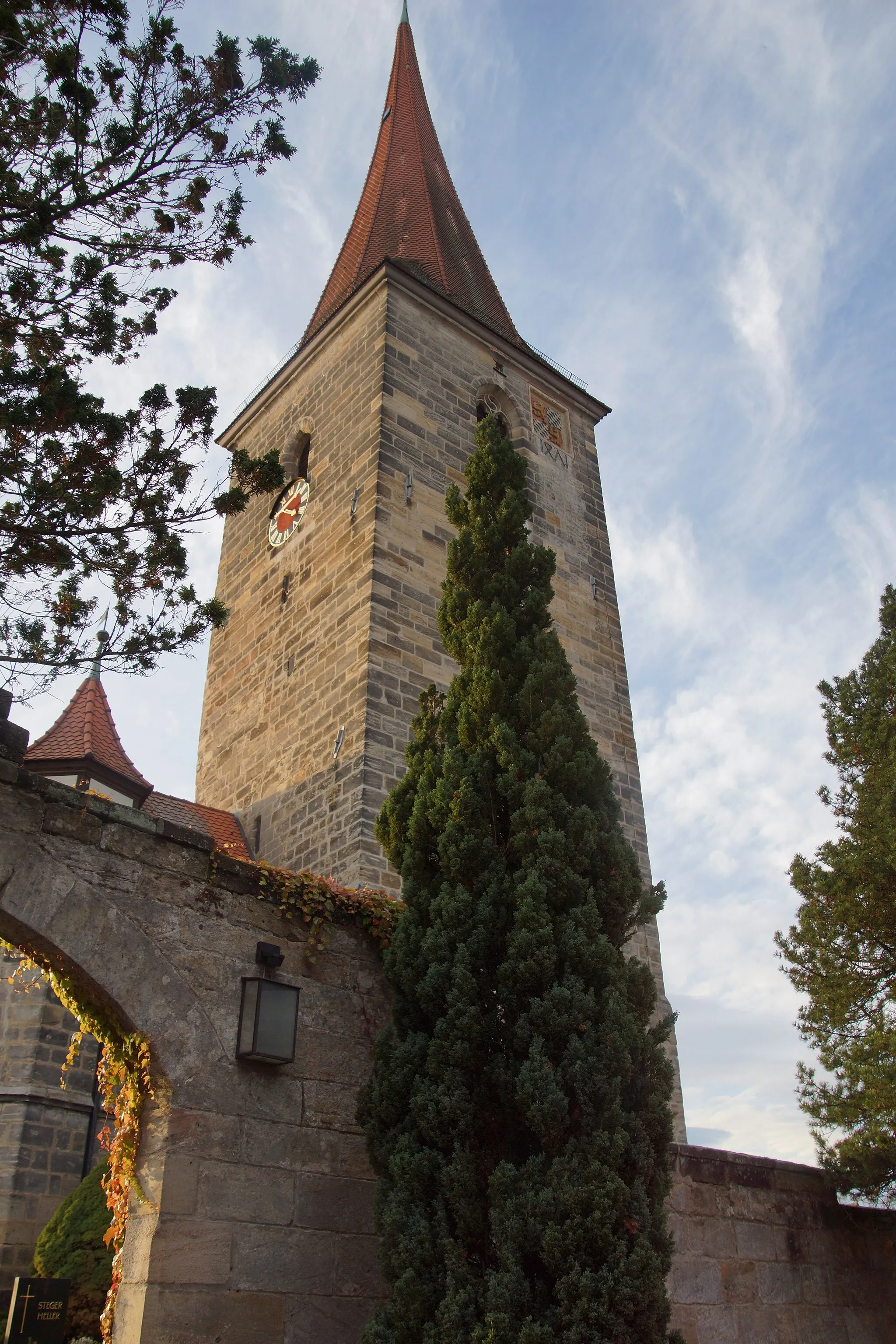
Start: Reichenschwand Village centerReichenschwand: Tranquil countryside with road and gravel routes near famous climbing destination.
Reichenschwand, situated in Mittelfranken, Germany, offers peaceful cycling routes through the Bavarian countryside. Road cyclists can enjoy the well-paved roads that lead to neighboring towns and villages, with pleasant views of farmland and forests along the way. The area also features gravel paths that attract off-road cycling enthusiasts. Reichenschwand is famous for being close to the climbing Mecca of Frankendorf, where cyclists can test their skills on challenging ascents. The town itself offers a quiet and relaxing atmosphere, perfect for unwinding after a long ride.3 km
3 km
Großer Hansgörgel601 mPeak13 km
13 km
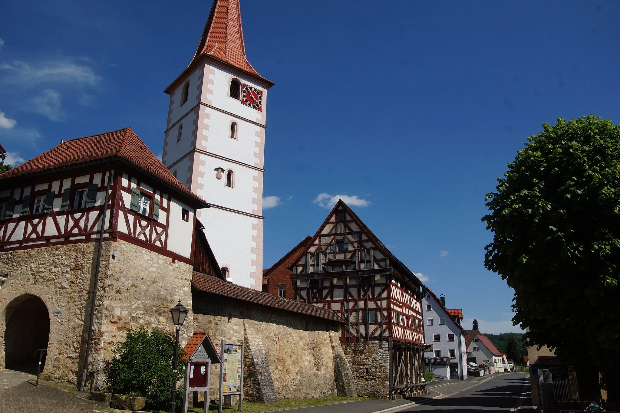
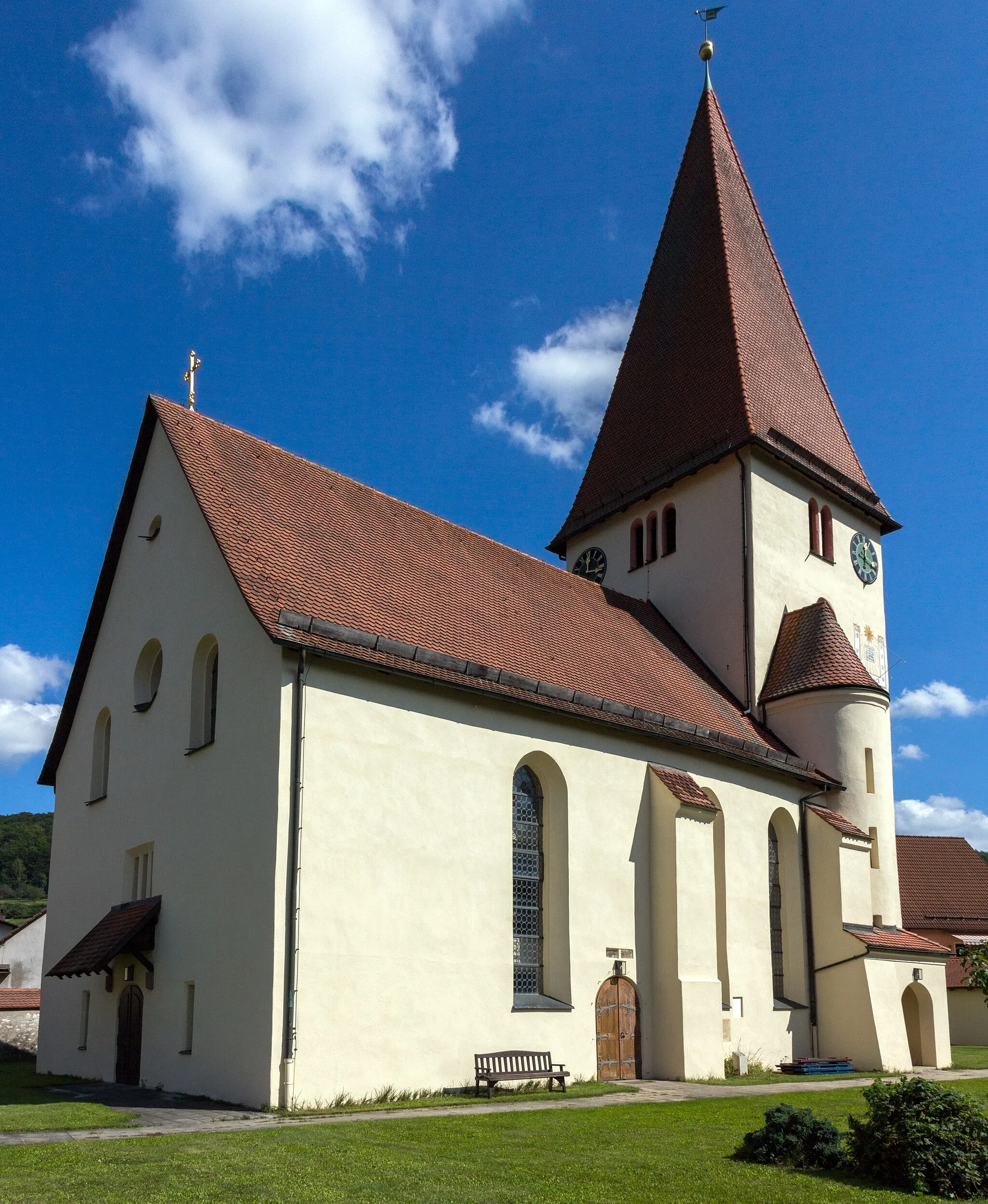
SteinensittenbachVillageSteinensittenbach, located 13 km along the route, is a charming village nestled in a picturesque setting, offering a serene and relaxed atmosphere for riders.
27 km
27 km
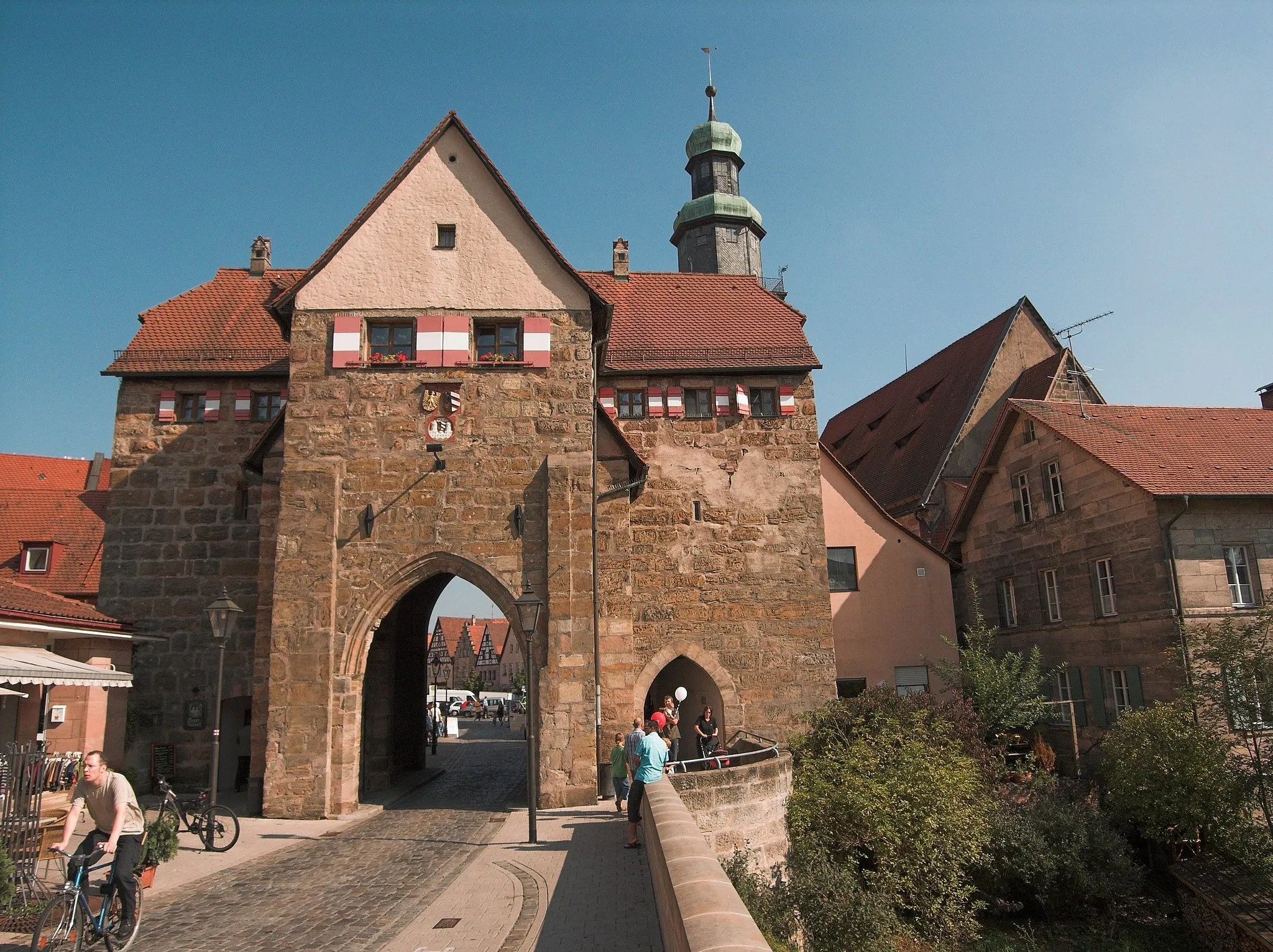
Neuhaus a.d.PegnitzVillageNeuhaus a.d.Pegnitz, found 27 km on the route, is a delightful town featuring beautiful traditional architecture, rich history, and tranquil surrounding landscapes.
36 km
36 km
Ossinger651 mPeakOssinger, located 36 km along the route, is a quaint village surrounded by lush green forests, providing a fantastic opportunity for nature lovers.
48 km
48 km
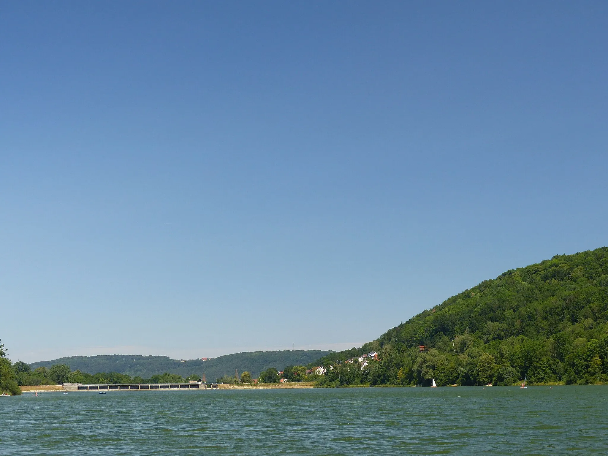
Steinberg526 mPeakSteinberg, situated 48 km on the route, offers stunning viewpoints and breathtaking natural landscapes, making it a must-stop spot for cyclists.
50 km
50 km
EtzelwangVillageEtzelwang, found 50 km on the route, is a delightful village known for its traditional charm and offering a peaceful atmosphere for riders to enjoy.
58 km
58 km
Schleußberg544 mPeakSchleußberg, located 58 km along the route, is a scenic hill featuring stunning viewpoints and lush greenery, allowing cyclists to connect with nature.
61 km
61 km
HappurgVillageHappurg, situated 61 km on the route, is a lovely town providing cyclists with a great mix of natural beauty and historical attractions.
70 km
70 km
Schloss ReichenschwandCastleSchloss Reichenschwand, found 70 km along the route, is an impressive castle that offers a glimpse into the region's history and architectural splendor.
70 km
70 km
Finish: Reichenschwand Village centerReichenschwand: Tranquil countryside with road and gravel routes near famous climbing destination.
Cycling routes from Reichenschwand:
Scenic Countryside and Challenging Hills Scenic Gravel Ride Gravel Adventure Reichenschwand Gravel Loop Sandberg Loop Exploring Wild Nature Hulmberg Challenge Exploring Nature and Medieval Towns Historical Hills and Scenic Gorges Off-Road Adventure and Castle Exploration The Hilly Adventure The Gravel Gem The Picturesque Loop
Cycling routes nearby: