Böhmerwald Gravel Adventure
A gravel cycling route starting from Breitenberg
An exciting gravel adventure through the beautiful Böhmerwald
Map

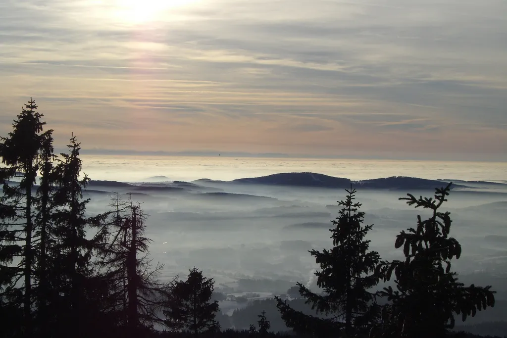
Embark on an exciting gravel adventure through the beautiful Böhmerwald region. This 75km route will take you along rolling gravel roads and through scenic forests, offering a true off-road cycling experience. With 1364 meters of ascent, this is a challenging ride that will test your skills and endurance. Immerse yourself in the natural beauty of the Böhmerwald and enjoy the thrill of exploring its hidden gems.
gravel
75 km
1364 m
Tough
Route profile
Highlights on the route
0 km
0 km
Start: Breitenberg Village centerBreitenberg: Discover scenic cycling routes in the charming town of Breitenberg, Germany.
Breitenberg is a town located in Niederbayern, Germany. For road and gravel cyclists, Breitenberg offers diverse terrain and beautiful countryside views. Cyclists can enjoy riding through rolling hills and well-kept roads, taking in the stunning panoramic vistas along the way. The region is surrounded by dense forests and picturesque landscapes, making it a popular destination for outdoor enthusiasts. Additionally, Breitenberg is close to the Bavarian Forest National Park, which offers challenging off-road trails for mountain biking. Overall, Breitenberg provides a great cycling experience with its varied terrain, scenic routes, and proximity to natural parks.4 km
4 km
Einsiedelberg692 mPeakDiscover Einsiedelberg, a small village known for its picturesque setting and traditional Bavarian charm.
5 km
5 km
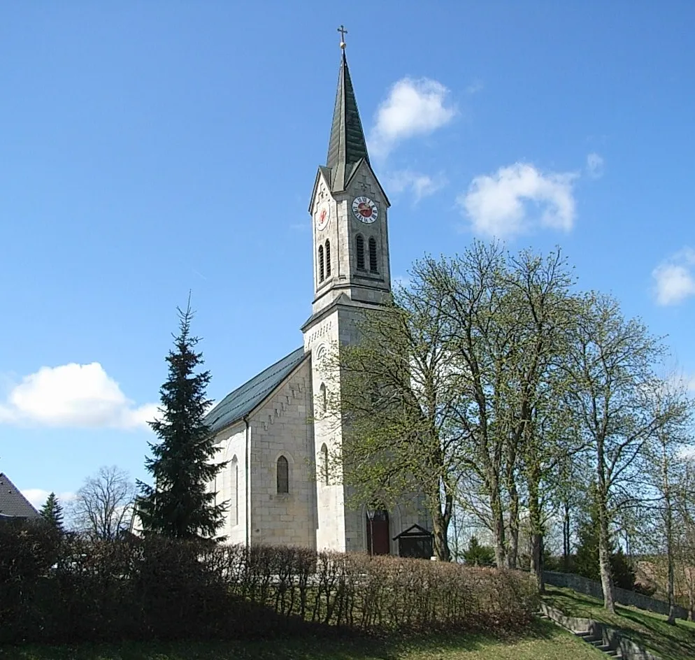
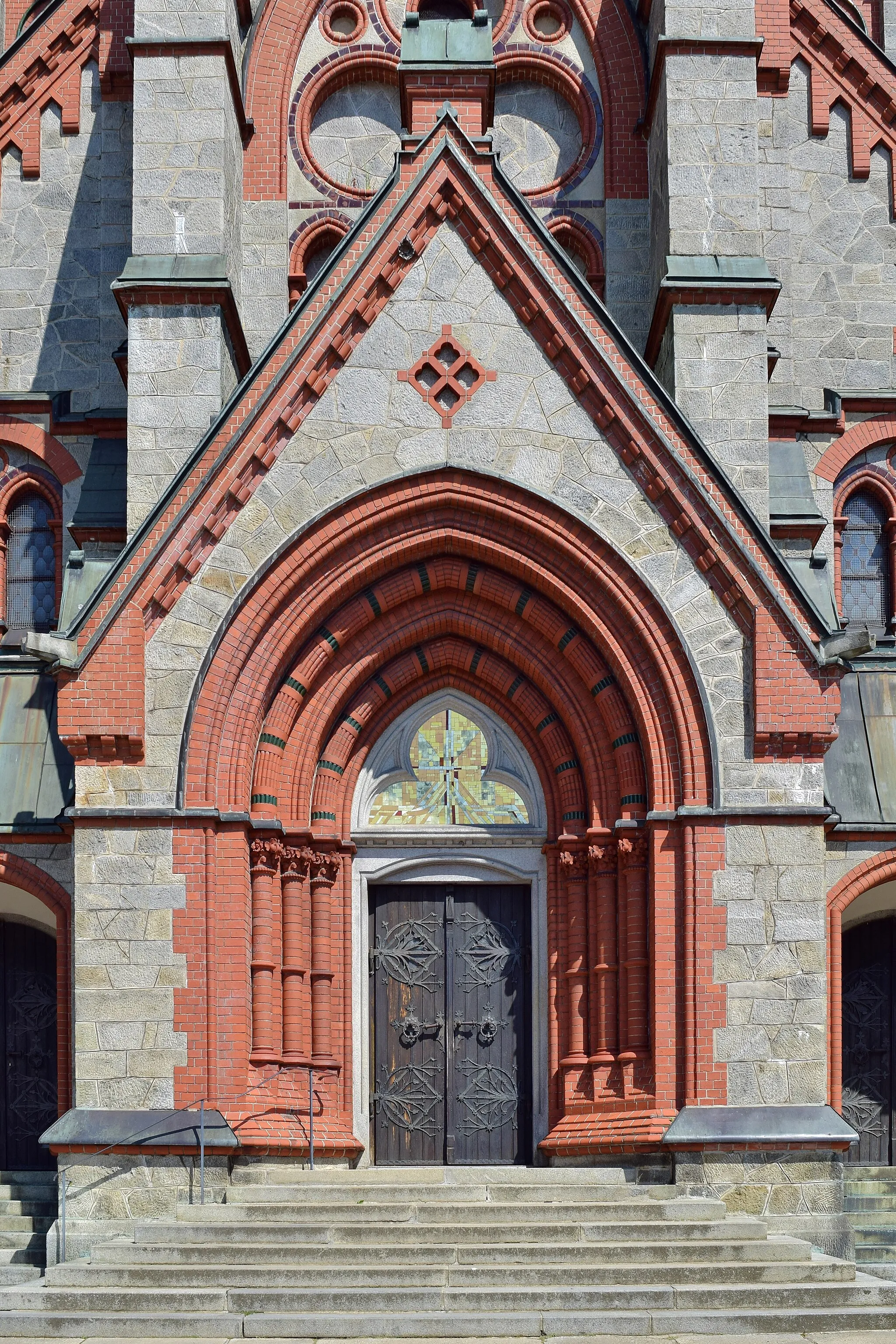
Schwarzenberg am BöhmerwaldVillageExplore Schwarzenberg am Böhmerwald, a historic village with a rich cultural heritage and stunning views.
26 km
26 km
bývalá Dolní PestřiceHamletBývalá Dolní Pestřice offers a unique insight into the history of the region, with its well-preserved traditional buildings.
27 km
27 km
Kozí stráň780 mPeakMarvel at the stunning views from Kozí stráň, a hill that offers panoramic vistas of the surrounding countryside.
42 km
42 km
Vítkův kámen1035 mCastleVisit Vítkův kámen, a historic site that was once a popular pilgrimage destination and is now a tranquil spot for reflection.
49 km
49 km
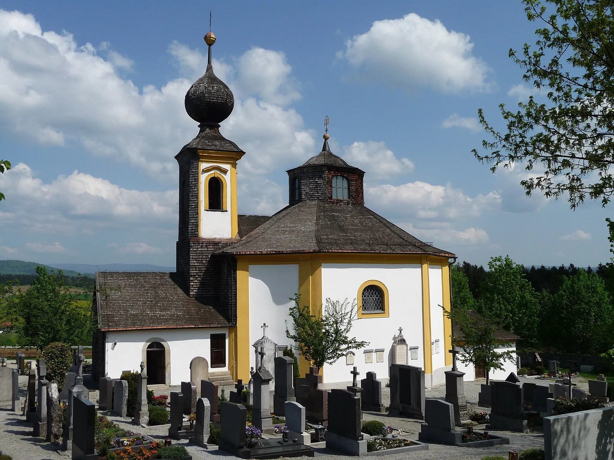
Sankt Oswald bei HaslachVillageSankt Oswald bei Haslach is a charming village renowned for its beautiful church and idyllic landscape.
63 km
63 km
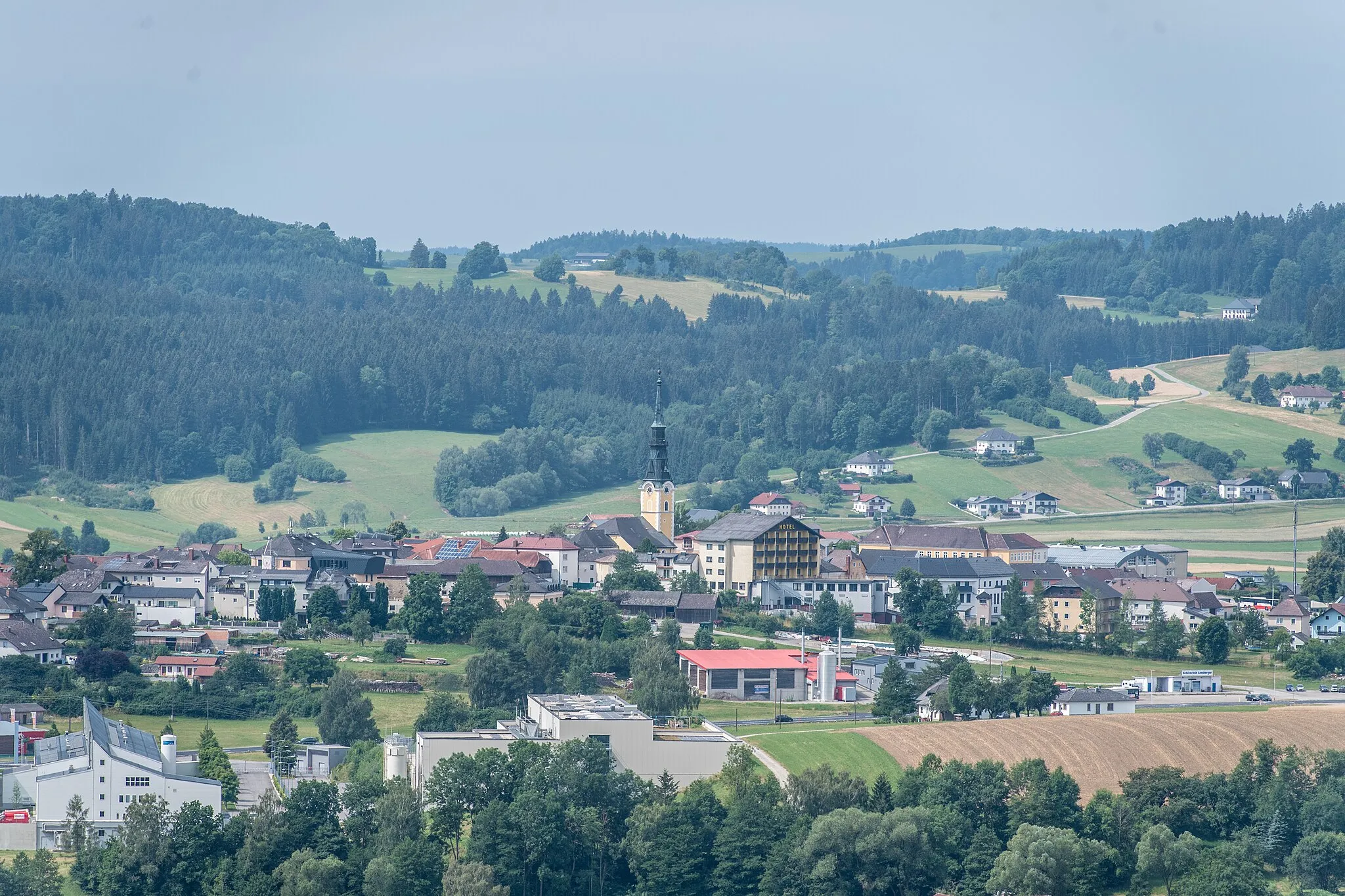
UlrichsbergVillageExperience the natural beauty of Ulrichsberg and take a peaceful stroll through its serene forests and meadows.
72 km
72 km
Dreihiasl654 mPeakDreihiasl is a unique rock formation that attracts visitors with its intriguing geological features and stunning views.
75 km
75 km
Finish: Breitenberg Village centerBreitenberg: Discover scenic cycling routes in the charming town of Breitenberg, Germany.
Cycling routes from Breitenberg:
Cycling routes nearby: