Gravel Adventure
A gravel cycling route starting from Breitenberg
Conquer the gravel roads around Breitenberg on this thrilling cycling route
Map

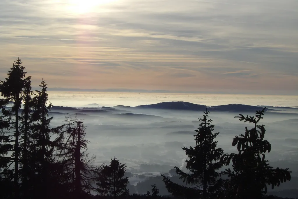
Experience the thrill of gravel biking on this 64-kilometer route that takes you through Breitenberg's stunning gravel roads. With a total ascent of 1,079 meters, it offers a moderate challenge for gravel enthusiasts. Enjoy the serene beauty of Einsiedelberg, Schwarzenberg am Böhmerwald, Sperrbühel, Sonnenwald, U věže, Sankt Oswald bei Haslach, Ulrichsberg, Scheibenbühel, and Nanzelberg along the way. Immerse yourself in nature, take in the peaceful surroundings, and revel in the freedom of off-road cycling.
gravel
64 km
1079 m
Chill
Route profile
Highlights on the route
0 km
0 km
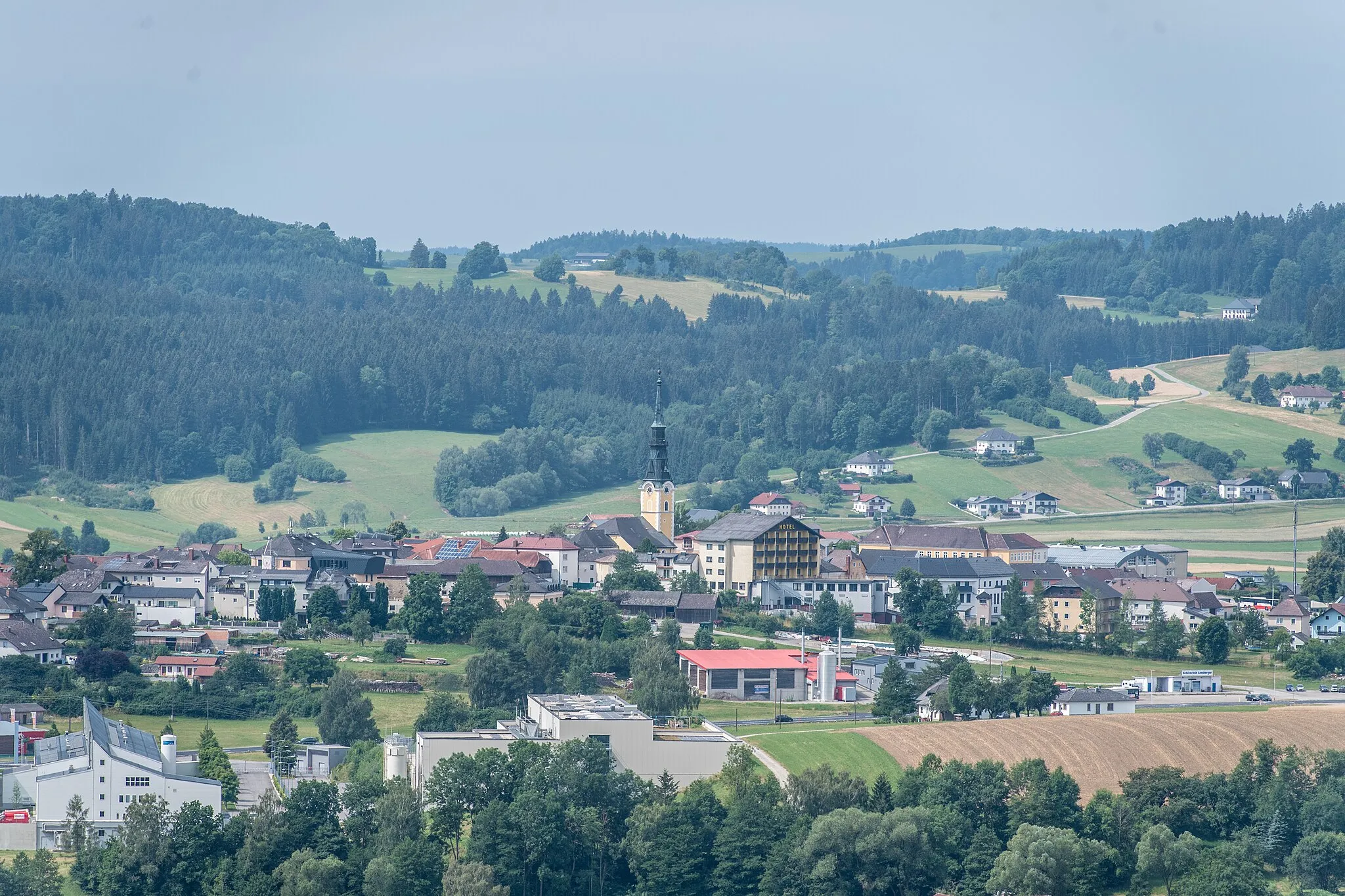
Start: Breitenberg Village centerBreitenberg: Discover scenic cycling routes in the charming town of Breitenberg, Germany.
Breitenberg is a town located in Niederbayern, Germany. For road and gravel cyclists, Breitenberg offers diverse terrain and beautiful countryside views. Cyclists can enjoy riding through rolling hills and well-kept roads, taking in the stunning panoramic vistas along the way. The region is surrounded by dense forests and picturesque landscapes, making it a popular destination for outdoor enthusiasts. Additionally, Breitenberg is close to the Bavarian Forest National Park, which offers challenging off-road trails for mountain biking. Overall, Breitenberg provides a great cycling experience with its varied terrain, scenic routes, and proximity to natural parks.4 km
4 km
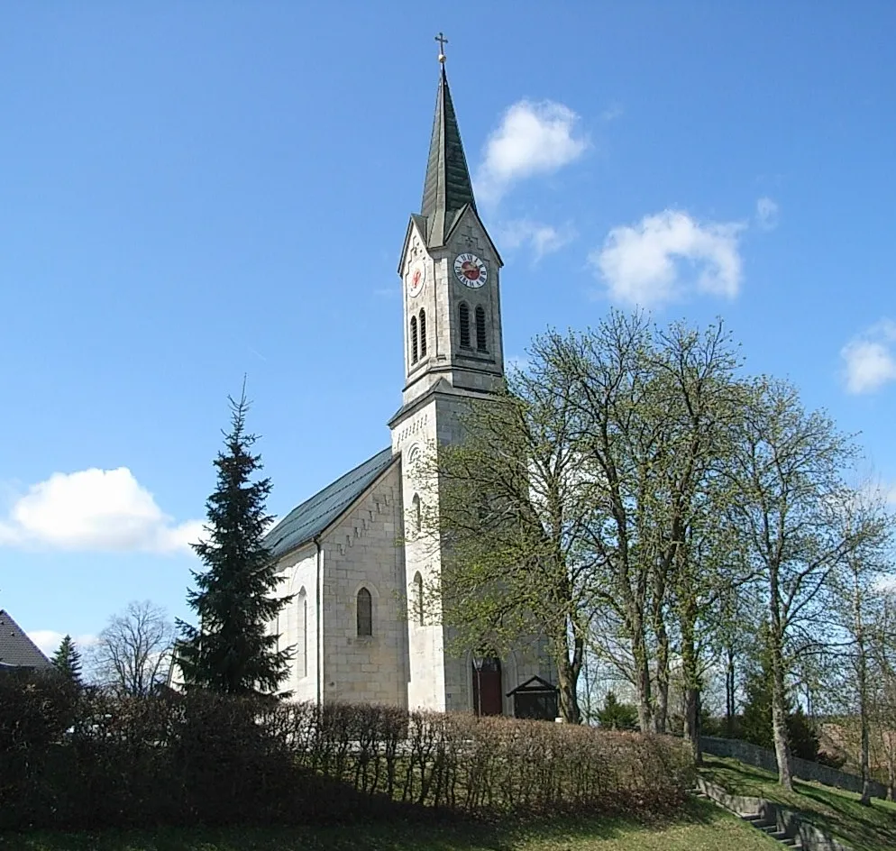
Einsiedelberg692 mPeakEinsiedelberg offers a unique experience with its dense forest trails and hidden gems dotted along the route. Keep an eye out for the enchanting Einsiedelberg Chapel.
5 km
5 km
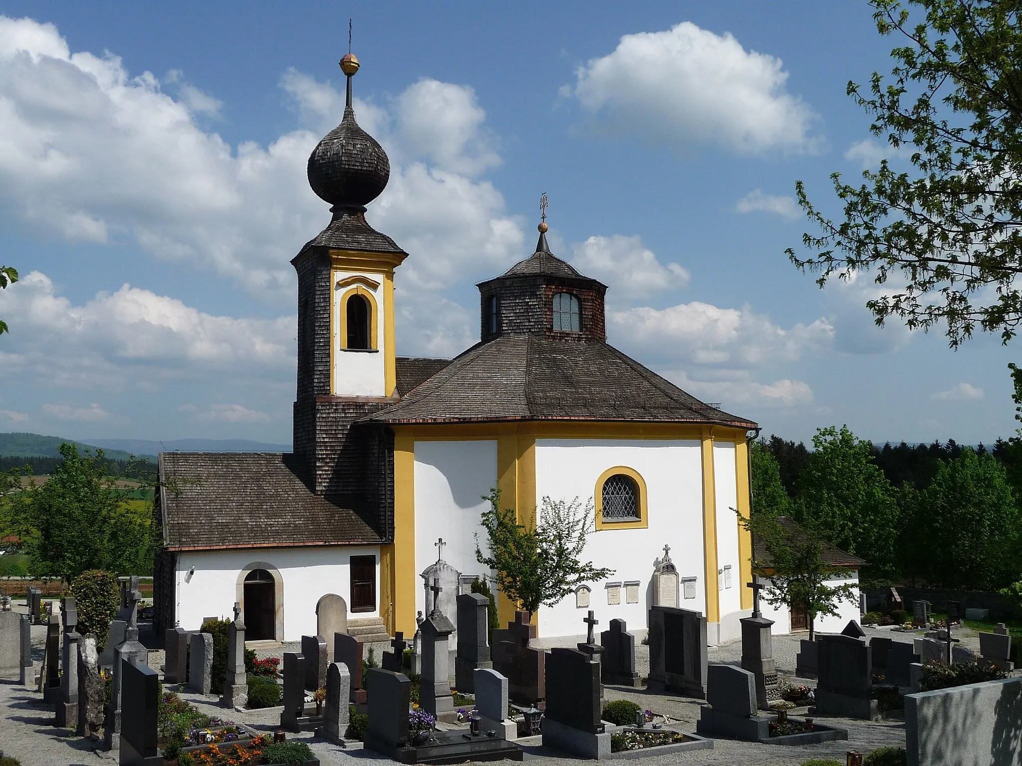
Schwarzenberg am BöhmerwaldVillageSchwarzenberg am Böhmerwald is a small village known for its picturesque landscapes and unspoiled nature. Discover hidden viewpoints and enjoy the solitude of this enchanting place.
18 km
18 km
Sperrbühel982 mPeakSperrbühel presents an off-road adventure with its challenging terrain and scenic viewpoints. Test your skills and embrace the thrill of gravel biking.
21 km
21 km
SonnenwaldHamletSonnenwald offers a tranquil escape in the heart of nature. Immerse yourself in the peaceful surroundings and enjoy the sense of freedom that gravel cycling offers.
33 km
33 km
U věže844 mPeakU věže takes you past a historic tower full of tales and legends. Explore the area, learn about its fascinating history, and let your imagination wander as you ride through the past.
38 km
38 km
Sankt Oswald bei HaslachVillageSankt Oswald bei Haslach is a hidden gem boasting stunning landscapes, charming traditional architecture, and untouched nature. Don't miss the opportunity to discover its beauty.
53 km
53 km
UlrichsbergVillageUlrichsberg, renowned for its breathtaking views and idyllic hiking trails, is a must-visit. Cycle through the dense forests and take in the tranquility of this enchanting place.
58 km
58 km
Scheibenbühel675 mPeakScheibenbühel offers an enjoyable off-road descent with thrilling twists and turns. Feel the adrenaline rush as you navigate the challenging gravel paths.
64 km
64 km
Nanzelberg692 mPeakNanzelberg is a picturesque village surrounded by rolling hills and forests. Explore the charming streets, discover hidden paths, and soak in the beauty of this rural paradise.
64 km
64 km
Finish: Breitenberg Village centerBreitenberg: Discover scenic cycling routes in the charming town of Breitenberg, Germany.
Cycling routes from Breitenberg:
Cycling routes nearby: