Breitenberg Nature Trail
A gravel cycling route starting from Breitenberg
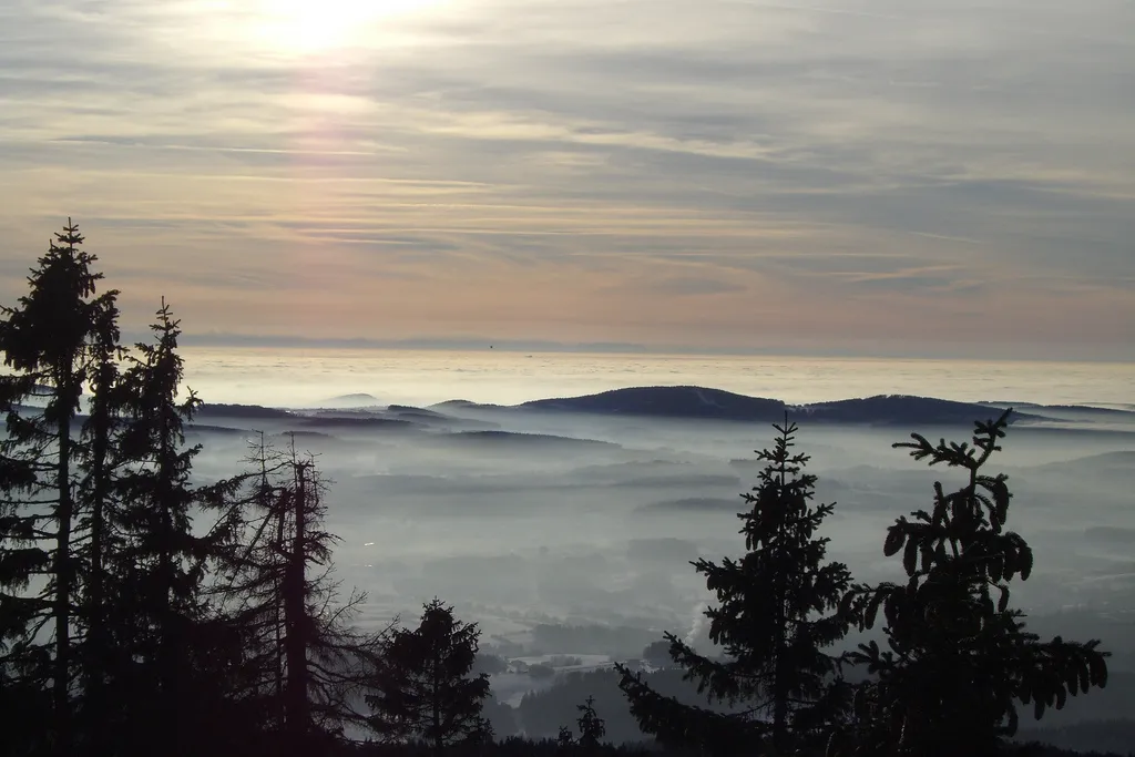
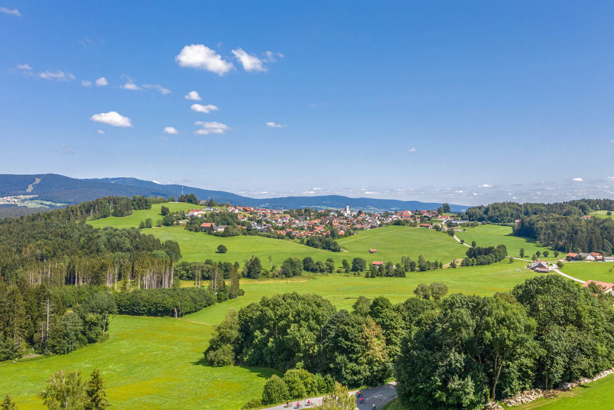
Explore the natural wonders on the Breitenberg Nature Trail
Map
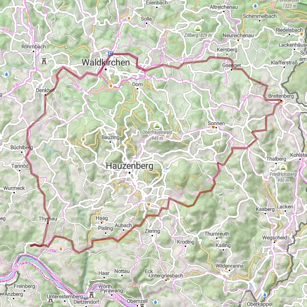
Take a journey through the natural wonders of the Breitenberg Nature Trail. This 76km gravel route will lead you through pristine forests, verdant valleys, and sparkling rivers, offering a truly immersive nature experience. With 1437 meters of ascent, this route will challenge your cycling skills and provide a sense of adventure. Immerse yourself in the beauty of the Bavarian countryside and discover the hidden treasures along the way.
gravel
76 km
1437 m
Tough
Route profile
Highlights on the route
0 km
0 km
Start: Breitenberg Village centerBreitenberg: Discover scenic cycling routes in the charming town of Breitenberg, Germany.
Breitenberg is a town located in Niederbayern, Germany. For road and gravel cyclists, Breitenberg offers diverse terrain and beautiful countryside views. Cyclists can enjoy riding through rolling hills and well-kept roads, taking in the stunning panoramic vistas along the way. The region is surrounded by dense forests and picturesque landscapes, making it a popular destination for outdoor enthusiasts. Additionally, Breitenberg is close to the Bavarian Forest National Park, which offers challenging off-road trails for mountain biking. Overall, Breitenberg provides a great cycling experience with its varied terrain, scenic routes, and proximity to natural parks.0 km
0 km
BreitenbergVillageStart your journey in Breitenberg, a charming village nestled in the heart of the Bavarian countryside.
8 km
8 km
Großer Rathberg899 mPeakClimb to the summit of Großer Rathberg and take in panoramic views of the surrounding landscape.
19 km
19 km
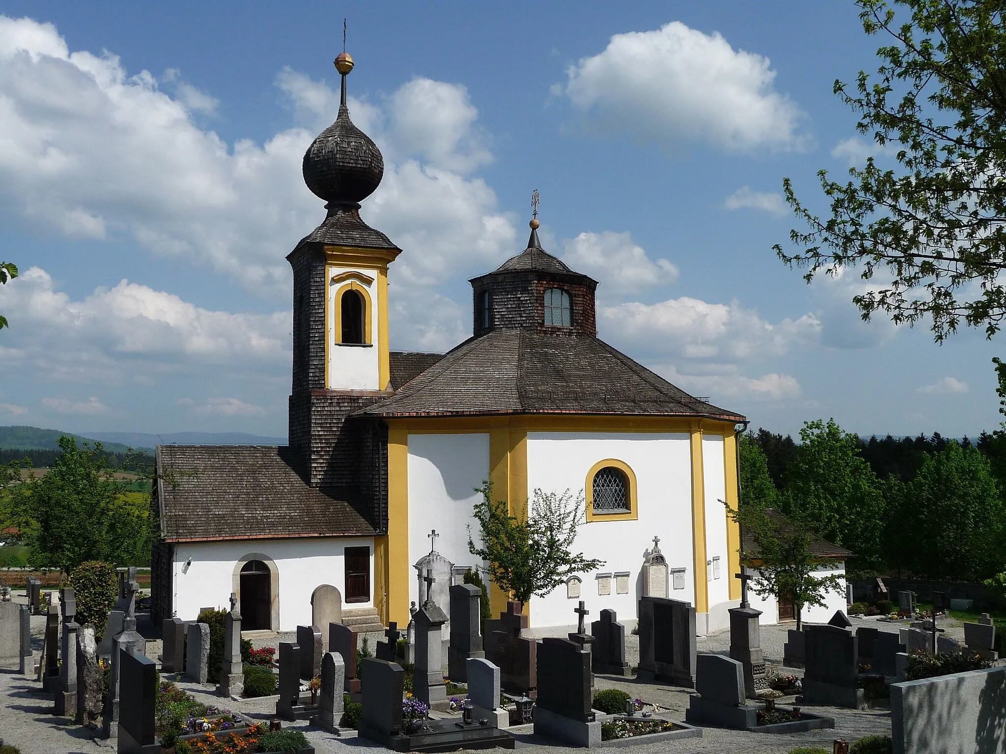
KropfmühlVillageVisit Kropfmühl and explore its historic center, which features several well-preserved medieval buildings.
36 km
36 km
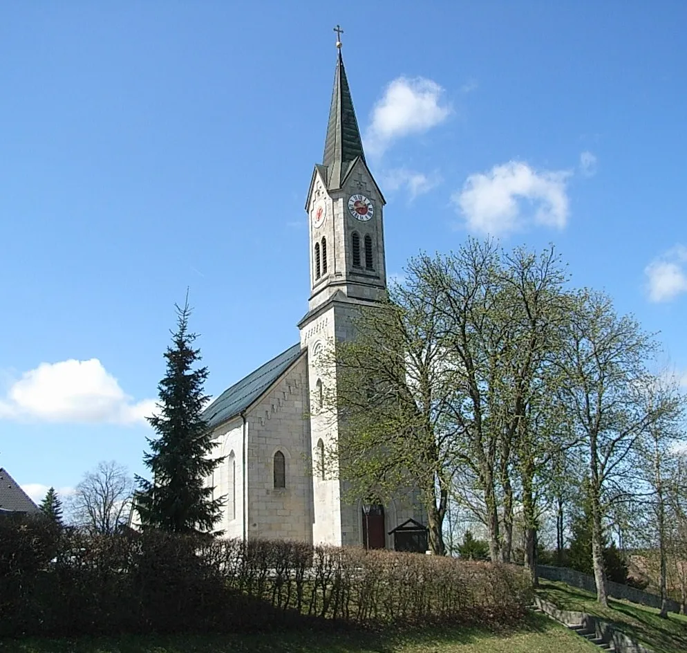
ThyrnauVillageThyrnau is a small town known for its beautiful Baroque architecture and serene location on the banks of the River Danube.
44 km
44 km
Aussichtsturm BüchlbergViewpointAussichtsturm Büchlberg offers panoramic views of the Bavarian Forest and surrounding countryside.
56 km
56 km
Aussichtsturm WasserreserveViewpointClimb to the top of Aussichtsturm Wasserreserve and enjoy breathtaking views of the nearby reservoir and surrounding landscape.
64 km
64 km
WollabergVillageWollaberg is a peaceful village surrounded by lush meadows and forests, perfect for a leisurely stroll.
71 km
71 km
LangbruckHamletExplore the rural charm of Langbruck and discover its traditional Bavarian houses and scenic hiking trails.
76 km
76 km
Höpfelberg727 mPeakHöpfelberg is a picturesque hill known for its stunning views and tranquil atmosphere, offering a perfect spot to rest and take in the scenery.
76 km
76 km
Finish: Breitenberg Village centerBreitenberg: Discover scenic cycling routes in the charming town of Breitenberg, Germany.
Cycling routes from Breitenberg:
Cycling routes nearby: