Ruhmannsfelden Gravel Loop
A gravel cycling route starting from Patersdorf
A scenic gravel loop starting near Patersdorf
Map
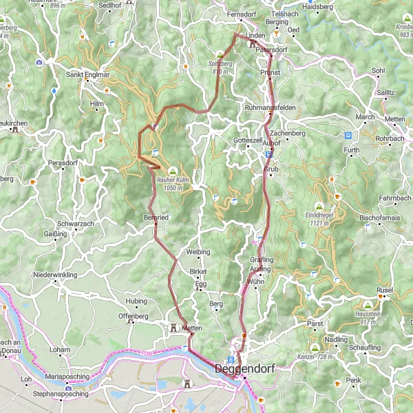
Explore the picturesque landscapes of the Bavarian countryside on this 60-kilometer gravel loop. With 1,204 meters of ascent, you'll challenge yourself while enjoying the stunning natural beauty.
gravel
60 km
1204 m
Tough
Route profile
Highlights on the route
0 km
0 km
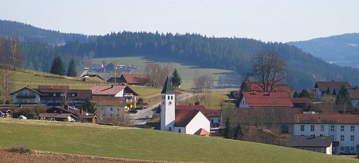
Start: Patersdorf Village centerPatersdorf: Quiet rural roads and a notable climb up Grosser Arber with stunning views.
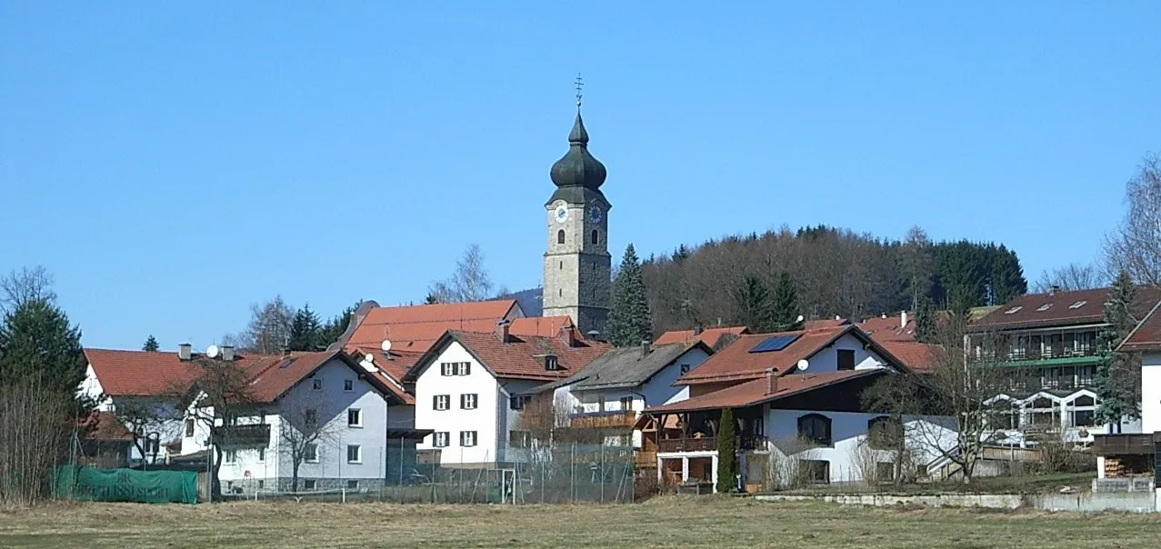
Patersdorf, located in Niederbayern, Germany, is a hidden gem for road and gravel cyclists. The area offers a mix of quiet rural roads and challenging climbs, making it suitable for riders of all levels. One popular spot for cyclists is the Grosser Arber, a notable climb known for its stunning views from the summit. Patersdorf is an ideal destination for cyclists seeking a quiet and scenic riding experience.4 km
4 km
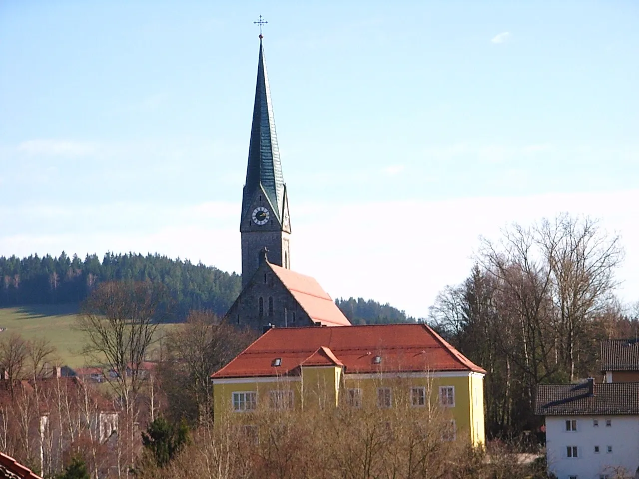
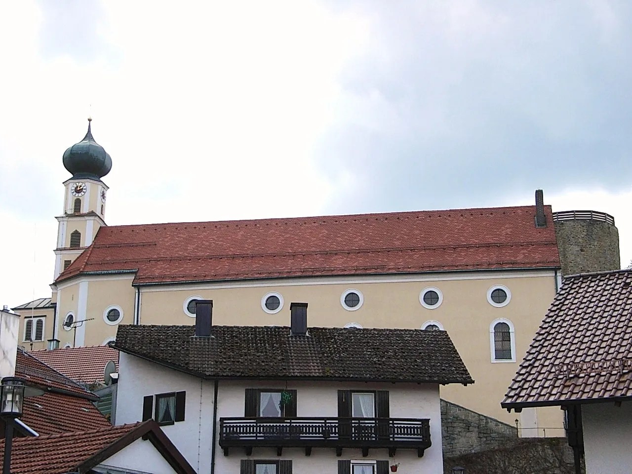
RuhmannsfeldenVillageStop by Ruhmannsfelden and admire the charming old town with its historic buildings and traditional Bavarian atmosphere.
10 km
10 km
Hocheck727 mPeakDon't miss the Hocheck lookout point, offering breathtaking panoramic views of the surrounding countryside.
23 km
23 km
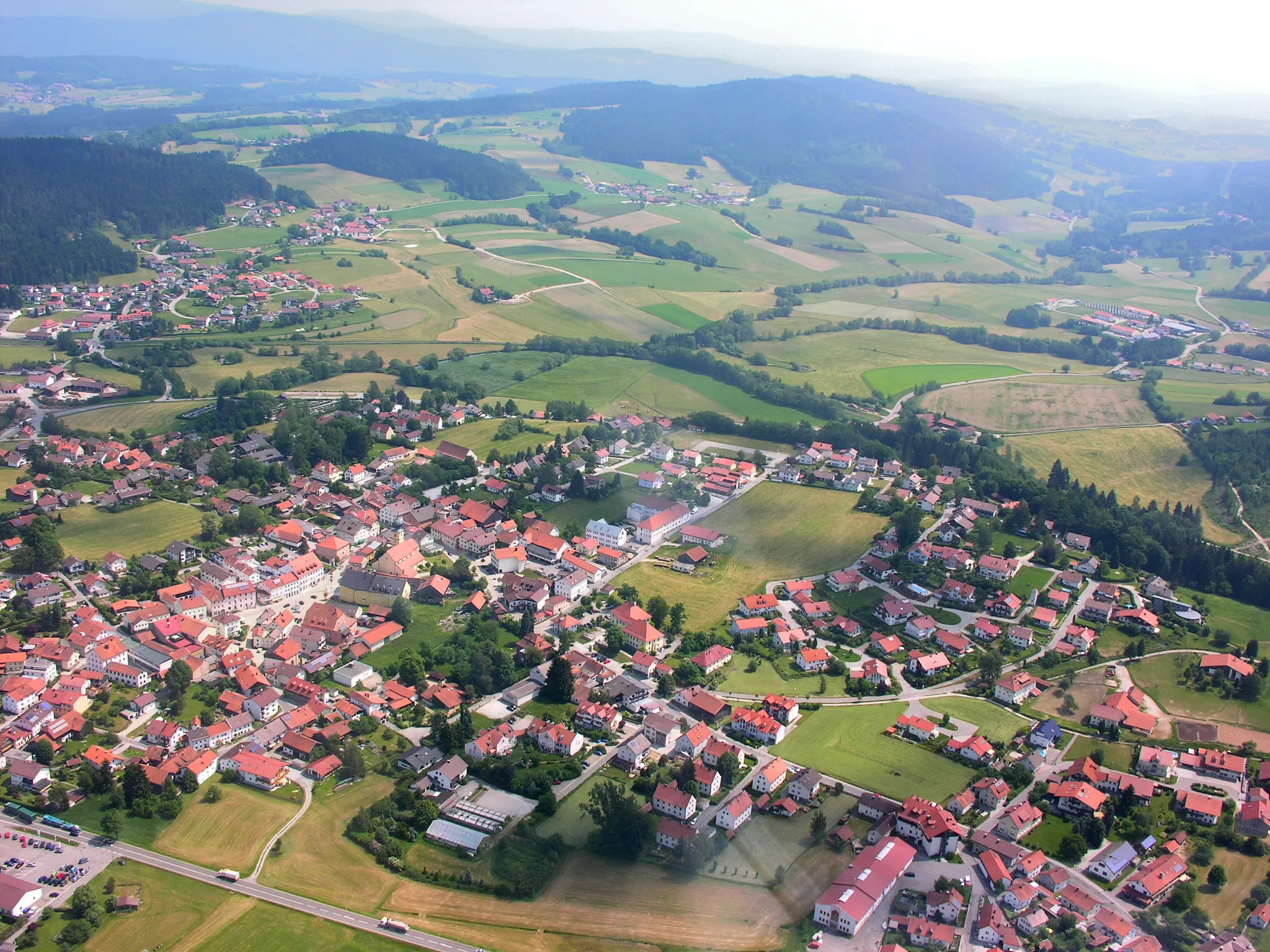
DeggendorfTownDiscover the historic city of Deggendorf, known for its well-preserved old town and beautiful Danube riverside promenade.
29 km
29 km
Himmelberg360 mPeakClimb up Himmelberg to enjoy stunning views of the rolling hills and forests of Niederbayern.
37 km
37 km
BernriedVillageTake a break in Bernried and visit the Benedictine monastery, an architectural gem with a rich history.
42 km
42 km
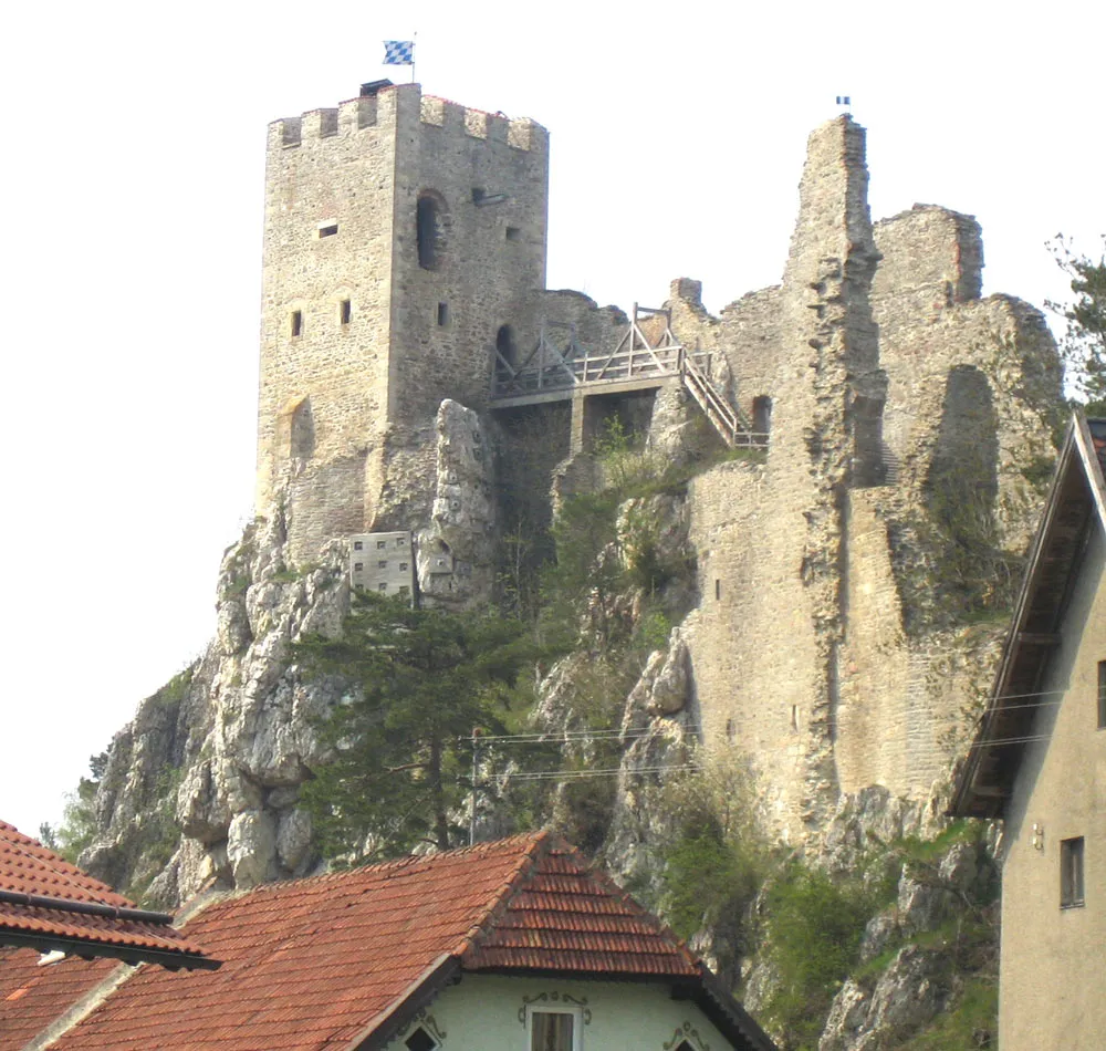
Klausenstein1048 mViewpointExplore Klausenstein, an imposing medieval castle ruin that offers a glimpse into the region's past.
49 km
49 km
Schusterstein998 mPeakMake a stop at Schusterstein, a unique rock formation that provides a picturesque backdrop for memorable photos.
58 km
58 km
Burgruine LindenCastle RuinsEnd your journey at Burgruine Linden, a captivating castle ruin surrounded by lush greenery.
60 km
60 km
Finish: Patersdorf Village centerPatersdorf: Quiet rural roads and a notable climb up Grosser Arber with stunning views.
Cycling routes from Patersdorf:
Ruhmannsfelden Gravel Loop Achslach Road Adventure Patersdorf Gravel Challenge Zachenberg Gravel Adventure Kühberg Loop Road Tour Challenging Road Cycling Route through Patersdorf Scenic Gravel Cycling Route around Patersdorf Thrilling Gravel Cycling Route through Patersdorf's Enchanting Nature Road Cycling Adventure in Patersdorf's Surroundings Diverse Road Cycling Route through Patersdorf's Surroundings The Bavarian Forest Loop
Cycling routes nearby: