Scenic Gravel Cycling Route around Patersdorf
A gravel cycling route starting from Patersdorf
Immerse yourself in nature on this thrilling gravel adventure
Map
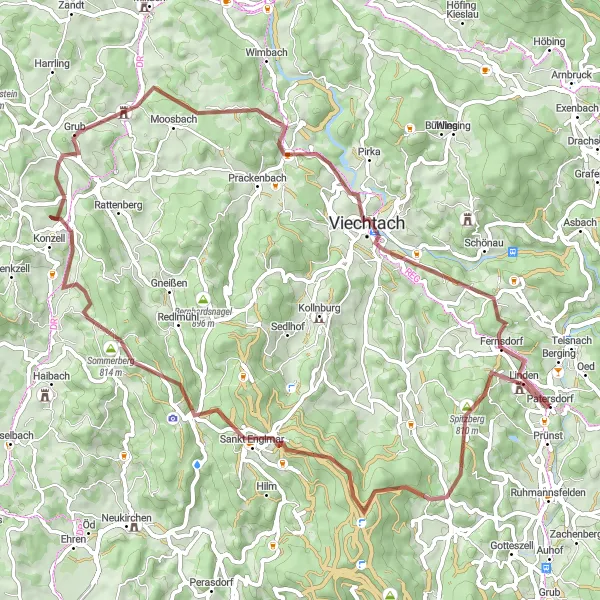
This exciting gravel cycling route near Patersdorf covers a distance of 69 km, with an ascent of 1,762 meters. The route traverses stunning natural landscapes, including the picturesque Burgruine Linden and the charming village of Sankt Englmar. With its challenging terrain and beautiful surroundings, this route is a perfect choice for gravel enthusiasts seeking a memorable cycling experience.
gravel
69 km
1762 m
Tough
Route profile
Highlights on the route
0 km
0 km
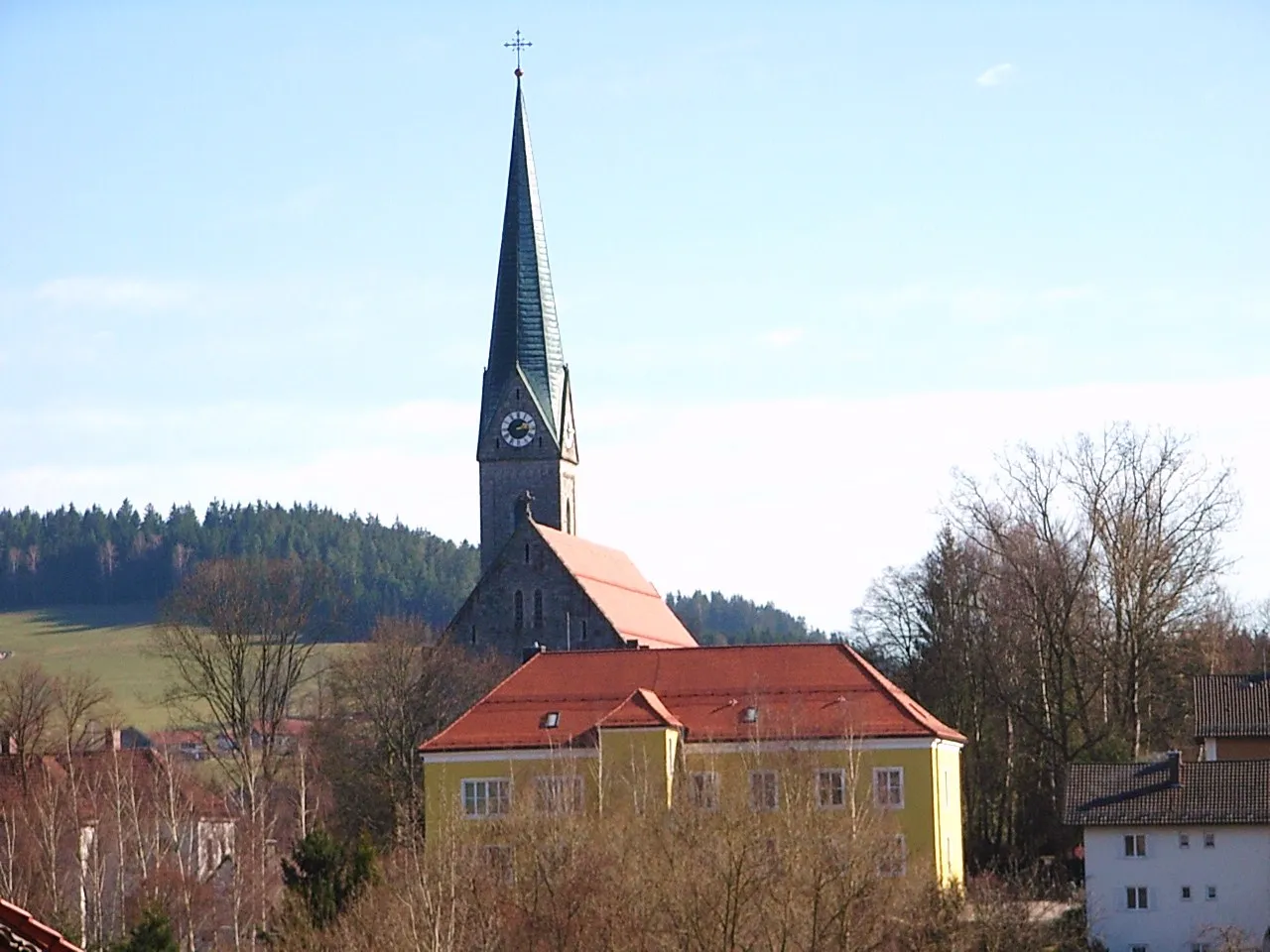
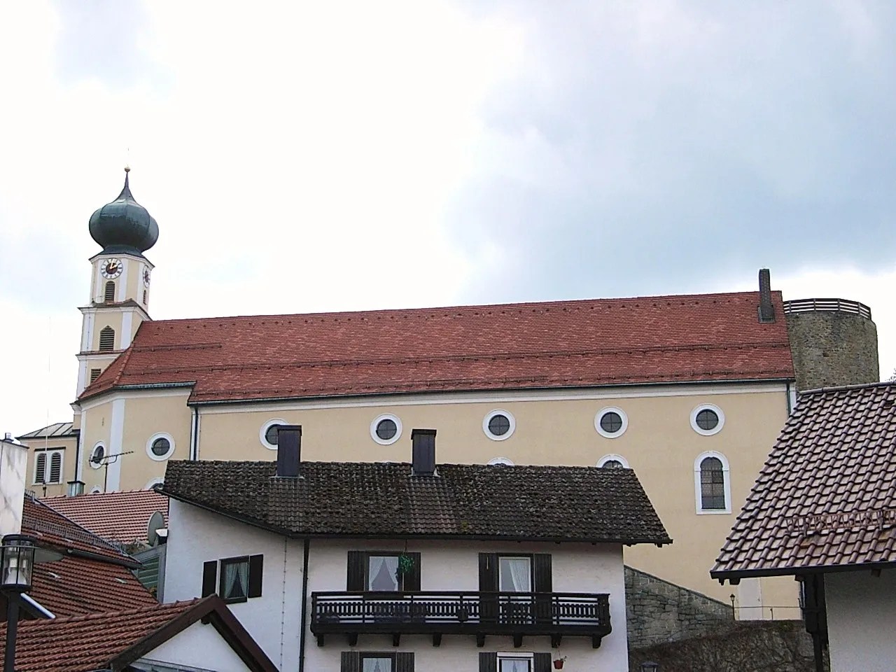
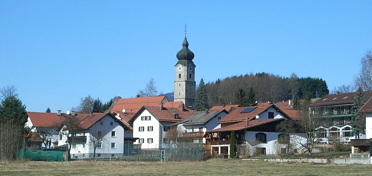
Start: Patersdorf Village centerPatersdorf: Quiet rural roads and a notable climb up Grosser Arber with stunning views.
Patersdorf, located in Niederbayern, Germany, is a hidden gem for road and gravel cyclists. The area offers a mix of quiet rural roads and challenging climbs, making it suitable for riders of all levels. One popular spot for cyclists is the Grosser Arber, a notable climb known for its stunning views from the summit. Patersdorf is an ideal destination for cyclists seeking a quiet and scenic riding experience.1 km
1 km
Burgruine LindenCastle RuinsExplore the intriguing ruins of Burgruine Linden, a historical site with a fascinating story.
12 km
12 km
Kälberbuckel1053 mPeakMarvel at the stunning panoramic views offered by Kälberbuckel, an ideal vantage point for nature enthusiasts.
18 km
18 km
Markbuchener Sattel900 mMountain PassThe challenging climb up Markbuchener Sattel rewards cyclists with breathtaking vistas of the surrounding countryside.
19 km
19 km
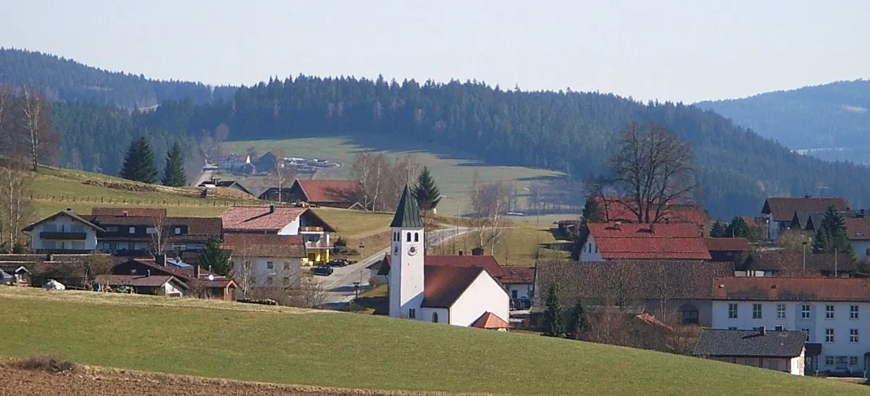
Sankt EnglmarVillageDiscover the beauty of Sankt Englmar, a picturesque village nestled in the midst of nature.
27 km
27 km
Sommerberg814 mPeakCycle through the refreshing Sommerberg area, surrounded by cool forests and lush vegetation.
33 km
33 km
KonzellVillageExplore Konzell, a tranquil village known for its charming countryside and peaceful atmosphere.
51 km
51 km
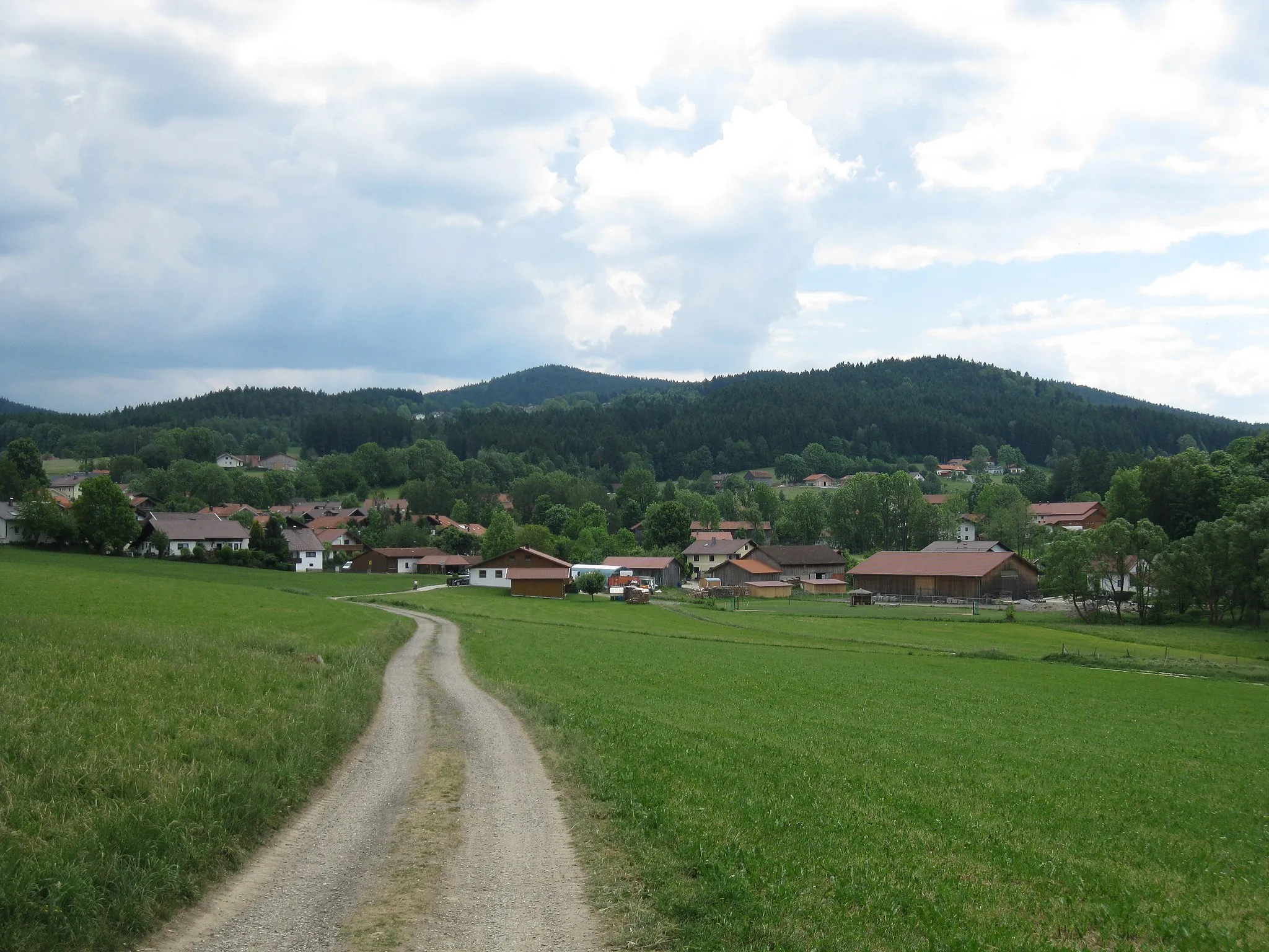
FichtentalHamletFichtental offers a scenic gravel path that winds through a beautiful forested area.
56 km
56 km
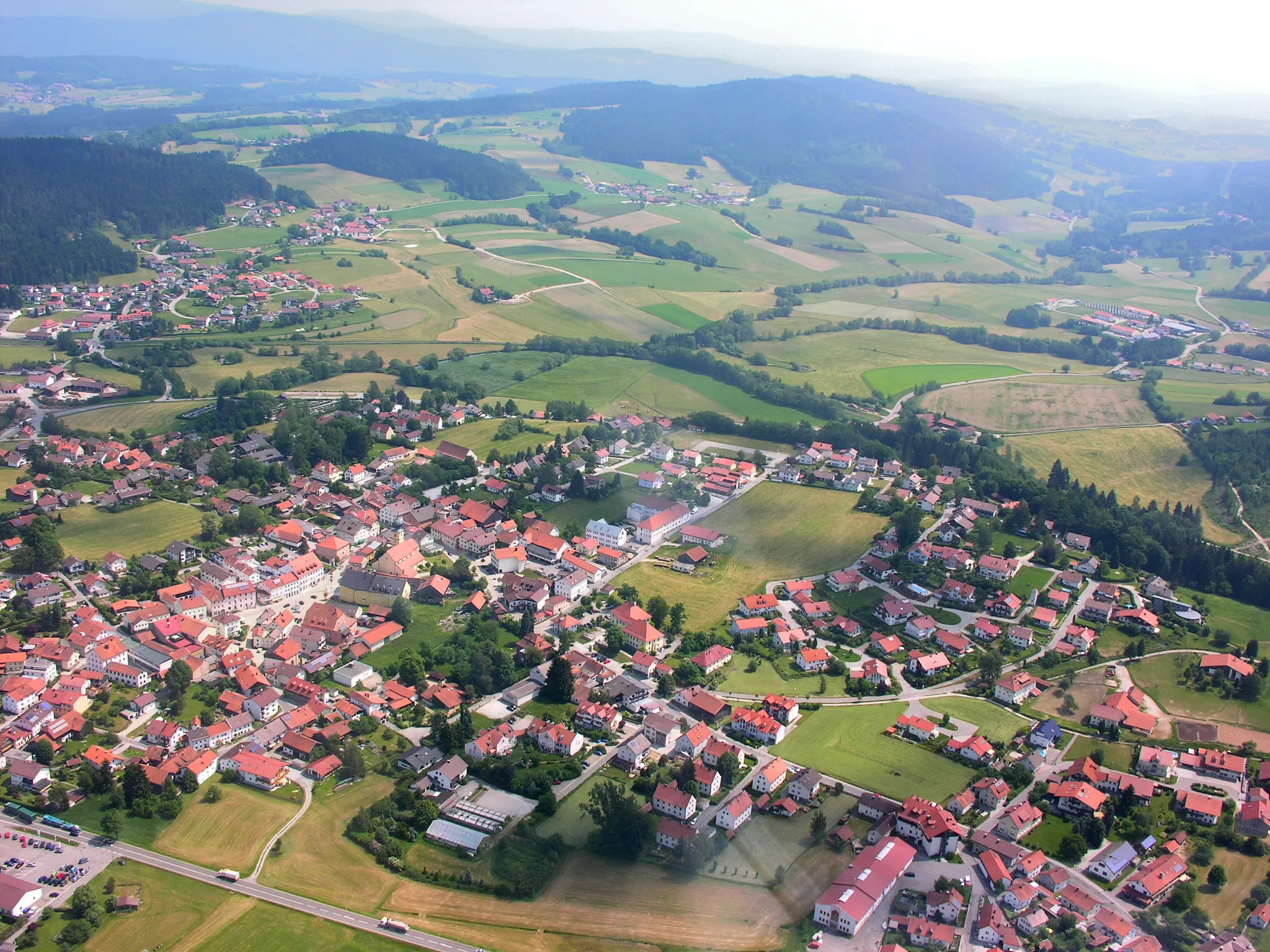
ViechtachTownViechtach is a charming town notable for its colorful buildings and vibrant cultural scene.
65 km
65 km
FernsdorfVillageThe journey through Fernsdorf takes cyclists along meandering paths flanked by scenic greenery.
69 km
69 km
Finish: Patersdorf Village centerPatersdorf: Quiet rural roads and a notable climb up Grosser Arber with stunning views.
Cycling routes from Patersdorf:
Ruhmannsfelden Gravel Loop Achslach Road Adventure Patersdorf Gravel Challenge Zachenberg Gravel Adventure Kühberg Loop Road Tour Challenging Road Cycling Route through Patersdorf Scenic Gravel Cycling Route around Patersdorf Thrilling Gravel Cycling Route through Patersdorf's Enchanting Nature Road Cycling Adventure in Patersdorf's Surroundings Diverse Road Cycling Route through Patersdorf's Surroundings The Bavarian Forest Loop
Cycling routes nearby: