Zachenberg Gravel Adventure
A gravel cycling route starting from Patersdorf
Embark on an exciting gravel adventure starting in Zachenberg
Map
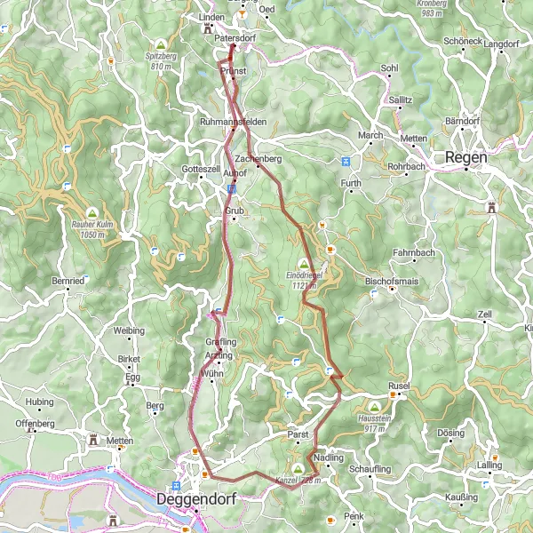
Discover the lesser-known parts of Bavaria on this 53-kilometer gravel adventure. With an ascent of 1,184 meters, this route will challenge even experienced gravel riders.
gravel
53 km
1184 m
Tough
Route profile
Highlights on the route
0 km
0 km
Start: Patersdorf Village centerPatersdorf: Quiet rural roads and a notable climb up Grosser Arber with stunning views.
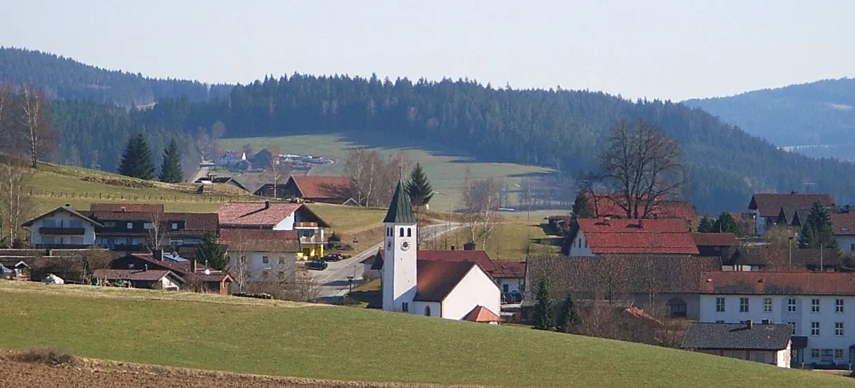
Patersdorf, located in Niederbayern, Germany, is a hidden gem for road and gravel cyclists. The area offers a mix of quiet rural roads and challenging climbs, making it suitable for riders of all levels. One popular spot for cyclists is the Grosser Arber, a notable climb known for its stunning views from the summit. Patersdorf is an ideal destination for cyclists seeking a quiet and scenic riding experience.6 km
6 km
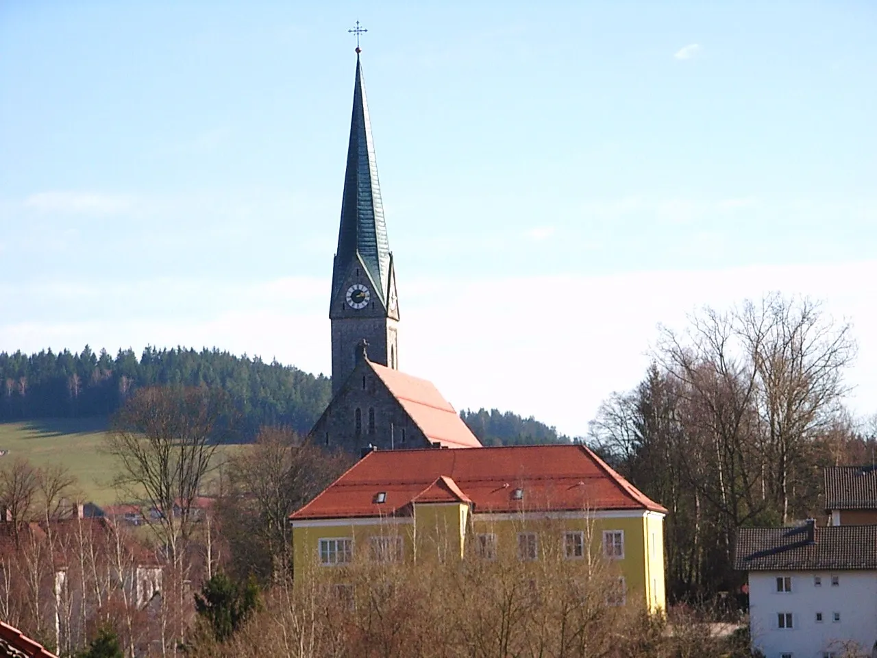
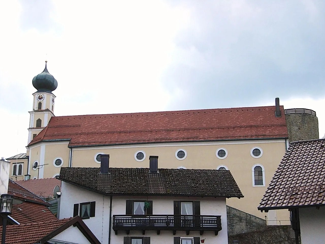
ZachenbergVillageStart your adventure in Zachenberg, an idyllic village surrounded by rolling hills and peaceful forests.
12 km
12 km
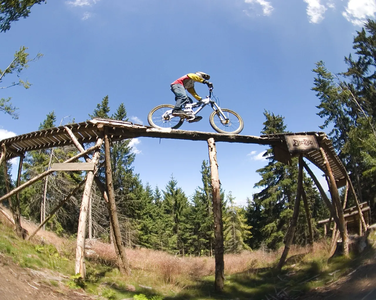
Geißkopf1097 mPeakCatch your breath at Geißkopf, a popular recreation area known for its mountain biking trails and stunning views of the Bavarian Forest.
17 km
17 km
Hirschenkopf980 mPeakDon't miss Hirschenkopf, a hidden gem offering picturesque views of the surrounding landscape and Niederbayern's charming villages.
27 km
27 km
HaslachHamletTake a break in Haslach and explore this picturesque village with its traditional Bavarian architecture and warm hospitality.
37 km
37 km
GraflingVillageDiscover Grafling, a quaint village that is known for its beautifully restored historic buildings and idyllic countryside.
42 km
42 km
Hocheck727 mPeakMake a stop at Hocheck, a viewpoint that offers stunning panoramic vistas of the Bavarian Forest and beyond.
48 km
48 km
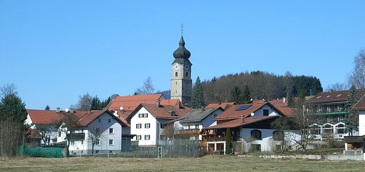
RuhmannsfeldenVillageVisit Ruhmannsfelden and indulge in the rich cultural heritage of this charming town, which boasts beautiful medieval buildings.
53 km
53 km
Finish: Patersdorf Village centerPatersdorf: Quiet rural roads and a notable climb up Grosser Arber with stunning views.
Cycling routes from Patersdorf:
Ruhmannsfelden Gravel Loop Achslach Road Adventure Patersdorf Gravel Challenge Zachenberg Gravel Adventure Kühberg Loop Road Tour Challenging Road Cycling Route through Patersdorf Scenic Gravel Cycling Route around Patersdorf Thrilling Gravel Cycling Route through Patersdorf's Enchanting Nature Road Cycling Adventure in Patersdorf's Surroundings Diverse Road Cycling Route through Patersdorf's Surroundings The Bavarian Forest Loop
Cycling routes nearby: