Diverse Road Cycling Route through Patersdorf's Surroundings
A road cycling route starting from Patersdorf
Embark on a diverse road cycling adventure through captivating landscapes
Map
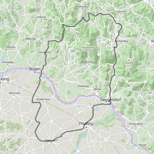
Experience the diversity of Patersdorf's surroundings on this captivating road cycling route. With a total distance of 113 km and an ascent of 1,229 meters, this route takes riders through beautiful areas such as Plattling and St. Englmar. Cyclists will encounter a range of terrain, making this route suitable for those seeking a challenging yet rewarding journey through the Bavarian countryside.
road
113 km
1229 m
Tough
Route profile
Highlights on the route
0 km
0 km
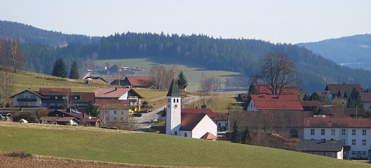
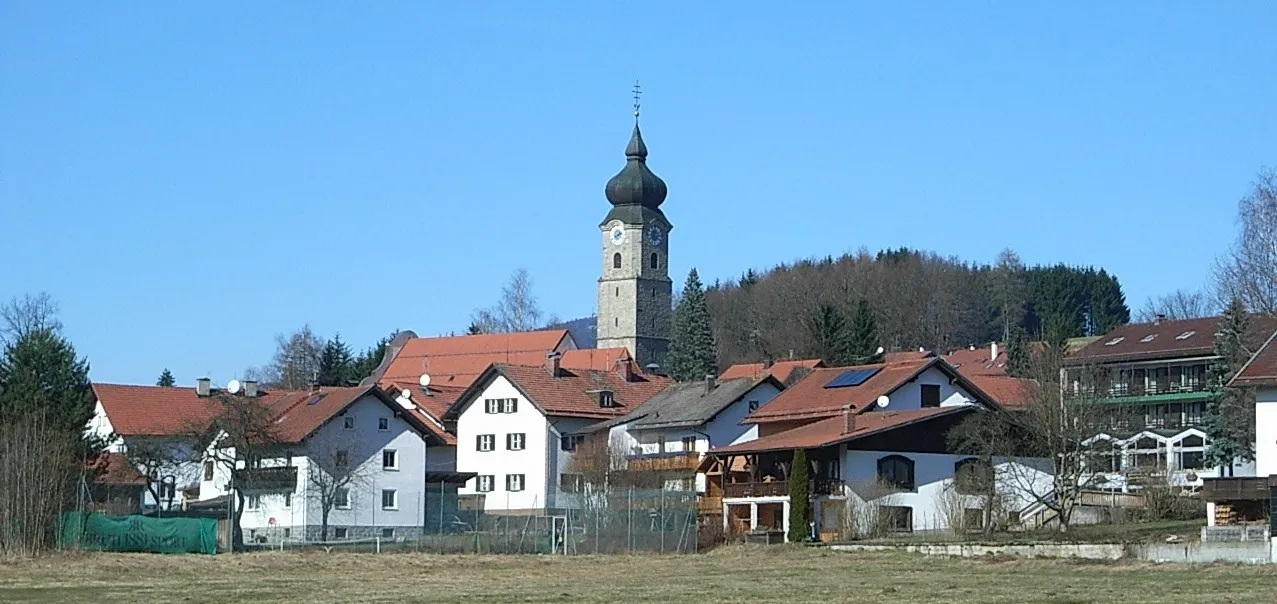
Start: Zuckenried Village centerPatersdorf: Quiet rural roads and a notable climb up Grosser Arber with stunning views.
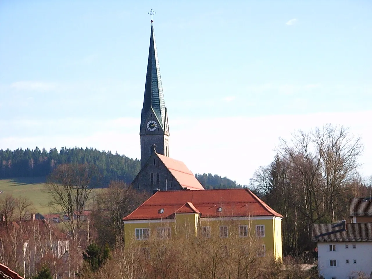
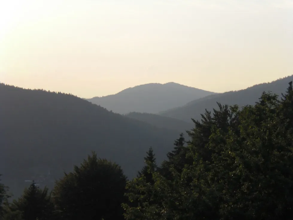
Patersdorf, located in Niederbayern, Germany, is a hidden gem for road and gravel cyclists. The area offers a mix of quiet rural roads and challenging climbs, making it suitable for riders of all levels. One popular spot for cyclists is the Grosser Arber, a notable climb known for its stunning views from the summit. Patersdorf is an ideal destination for cyclists seeking a quiet and scenic riding experience.10 km
10 km
Hocheck727 mPeakAscend Hocheck to witness panoramic views of the surrounding landscapes and neighboring mountains.
15 km
15 km
GraflingVillageGrafling offers a picturesque route with charming countryside views.
23 km
23 km
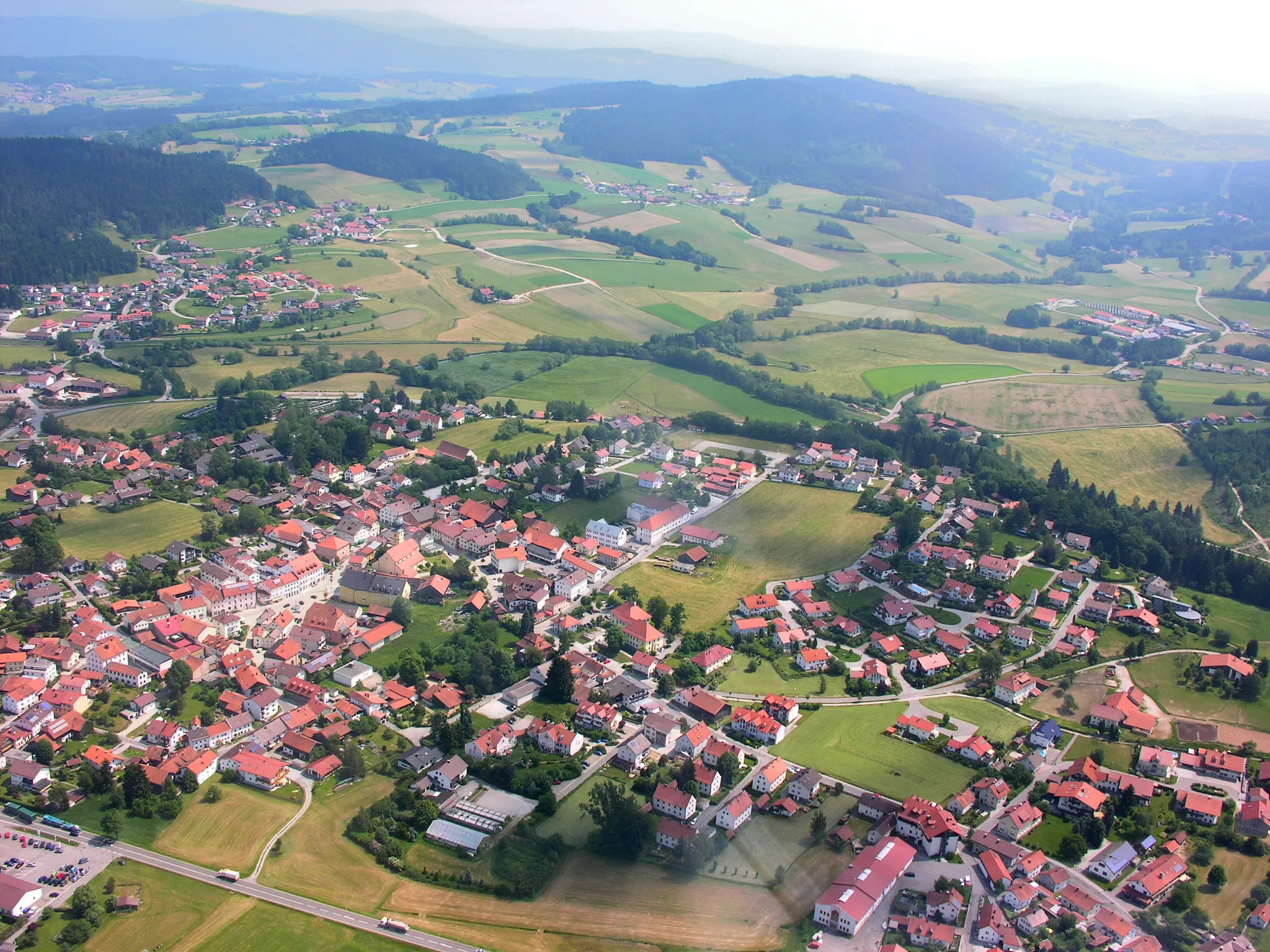
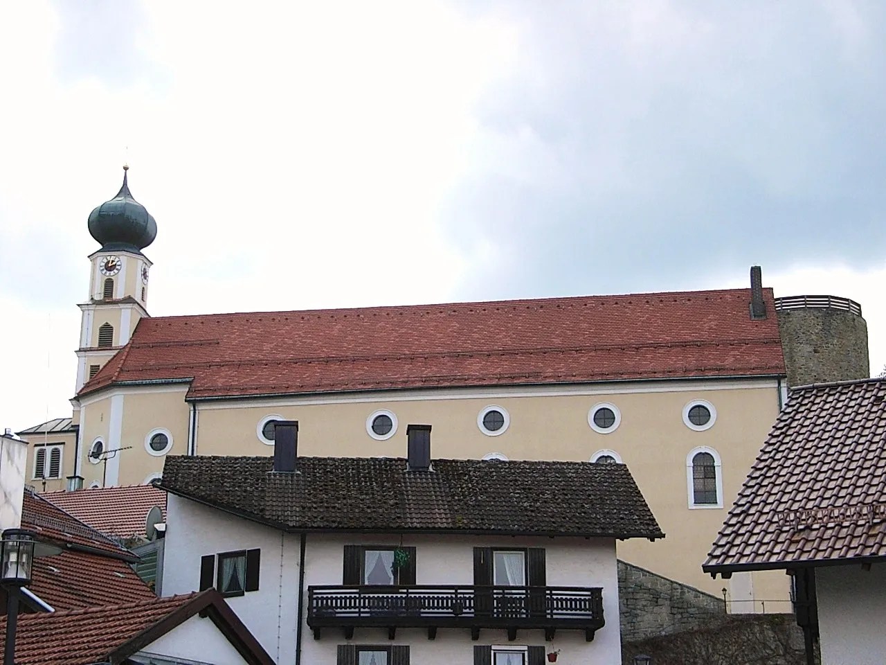
DeggendorfTownExplore the vibrant city of Deggendorf, known for its historical buildings and lively atmosphere.
35 km
35 km
PlattlingTownVisit Plattling, a town steeped in history, and marvel at the impressive architecture of its buildings.
46 km
46 km
WallersdorfVillageDiscover Wallersdorf, a quaint village known for its beautifully preserved historic structures.
59 km
59 km
PaitzkofenVillagePaitzkofen's serene landscapes provide a spectacular setting for a peaceful cycling journey.
78 km
78 km
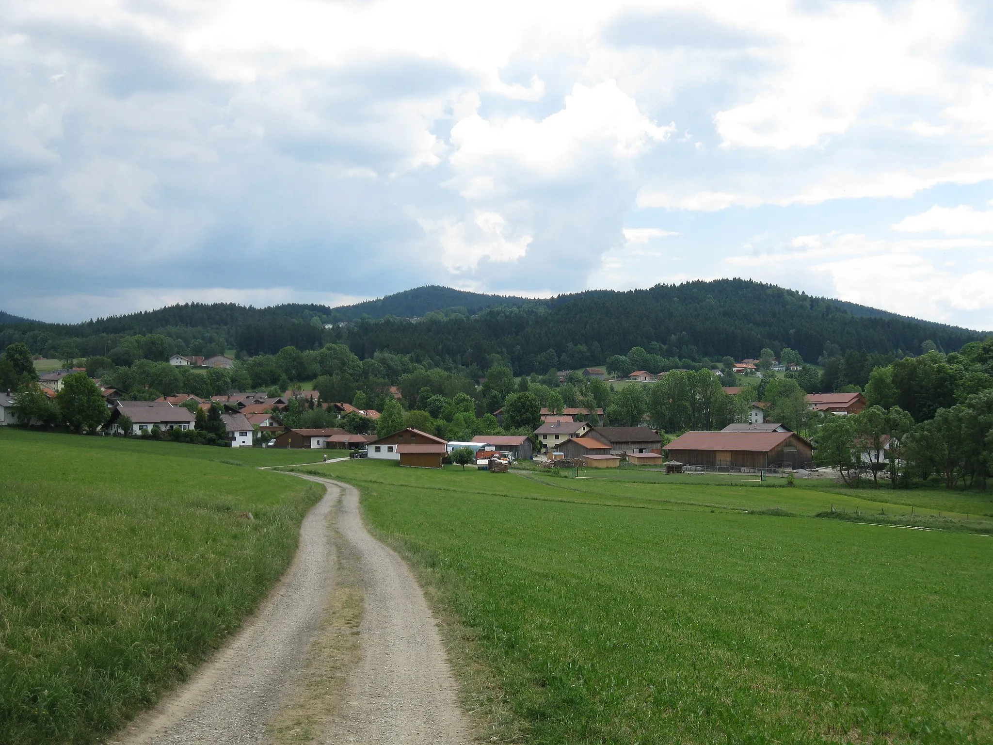
HunderdorfVillageHunderdorf offers a tranquil escape amidst serene rural scenery and idyllic farmland.
93 km
93 km
Sankt EnglmarVillageSankt Englmar is a haven for nature lovers, boasting a variety of stunning landscapes and outdoor activities.
94 km
94 km
Markbuchener Sattel900 mMountain PassThe Markbuchener Sattel provides an invigorating challenge with rewarding panoramic vistas.
111 km
111 km
PatersdorfVillageWrap up your adventure in Patersdorf, a charming town surrounded by scenic splendor.
113 km
113 km
Finish: Zuckenried Village centerPatersdorf: Quiet rural roads and a notable climb up Grosser Arber with stunning views.
Cycling routes from Patersdorf:
Ruhmannsfelden Gravel Loop Achslach Road Adventure Patersdorf Gravel Challenge Zachenberg Gravel Adventure Kühberg Loop Road Tour Challenging Road Cycling Route through Patersdorf Scenic Gravel Cycling Route around Patersdorf Thrilling Gravel Cycling Route through Patersdorf's Enchanting Nature Road Cycling Adventure in Patersdorf's Surroundings Diverse Road Cycling Route through Patersdorf's Surroundings The Bavarian Forest Loop
Cycling routes nearby: