Road Cycling Adventure in Patersdorf's Surroundings
A road cycling route starting from Patersdorf
Discover the beauty of the countryside on this road cycling adventure
Map
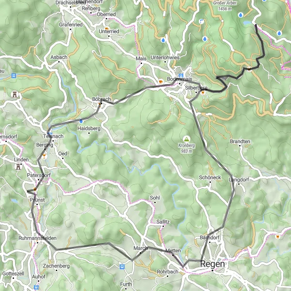
Uncover the beauty of Patersdorf's surroundings on this captivating road cycling route. Spanning a distance of 61 km and with an ascent of 1,465 meters, this route provides cyclists with the opportunity to explore scenic highlights such as Bodenmais and Buchberg. With its gentle climbs and bucolic landscapes, this route is ideal for riders of all levels looking to enjoy the region's natural beauty.
road
61 km
1465 m
Chill
Route profile
Highlights on the route
0 km
0 km
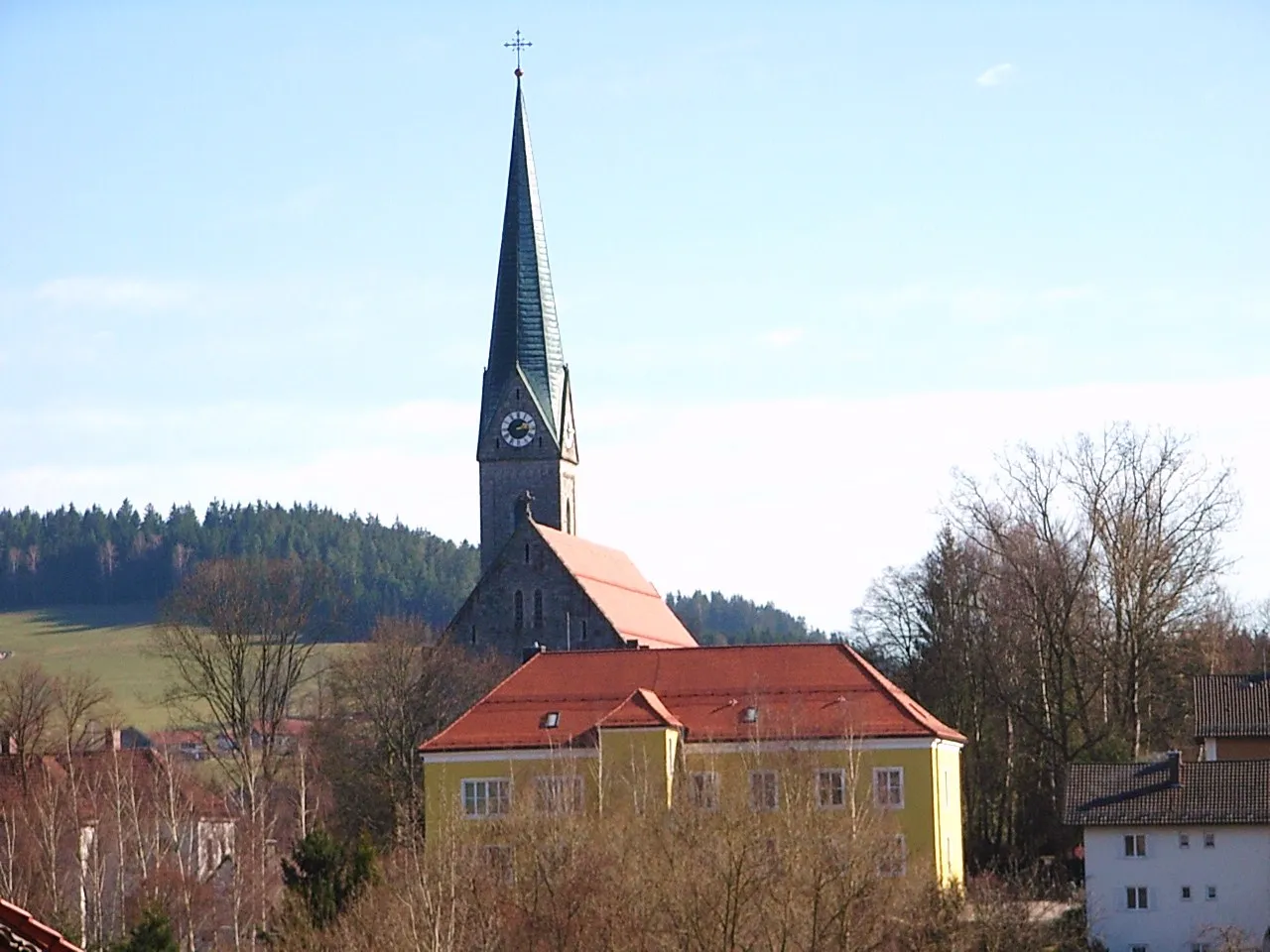
Start: Schönberg Village centerPatersdorf: Quiet rural roads and a notable climb up Grosser Arber with stunning views.
Patersdorf, located in Niederbayern, Germany, is a hidden gem for road and gravel cyclists. The area offers a mix of quiet rural roads and challenging climbs, making it suitable for riders of all levels. One popular spot for cyclists is the Grosser Arber, a notable climb known for its stunning views from the summit. Patersdorf is an ideal destination for cyclists seeking a quiet and scenic riding experience.10 km
10 km
Sternknöckel818 mPeakExperience the unique features of Sternknöckel, a natural landmark offering stunning panoramic views.
14 km
14 km
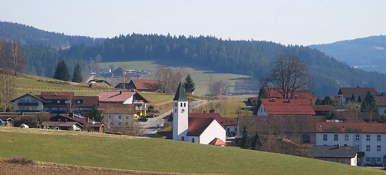
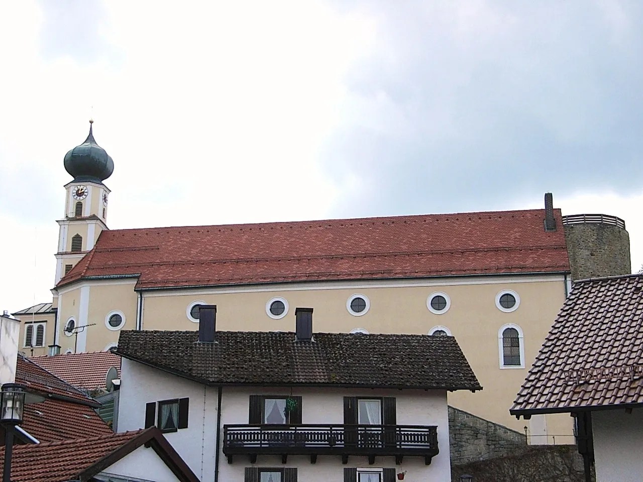
BodenmaisVillageBodenmais boasts charming traditional architecture and is a popular destination for cultural exploration.
30 km
30 km
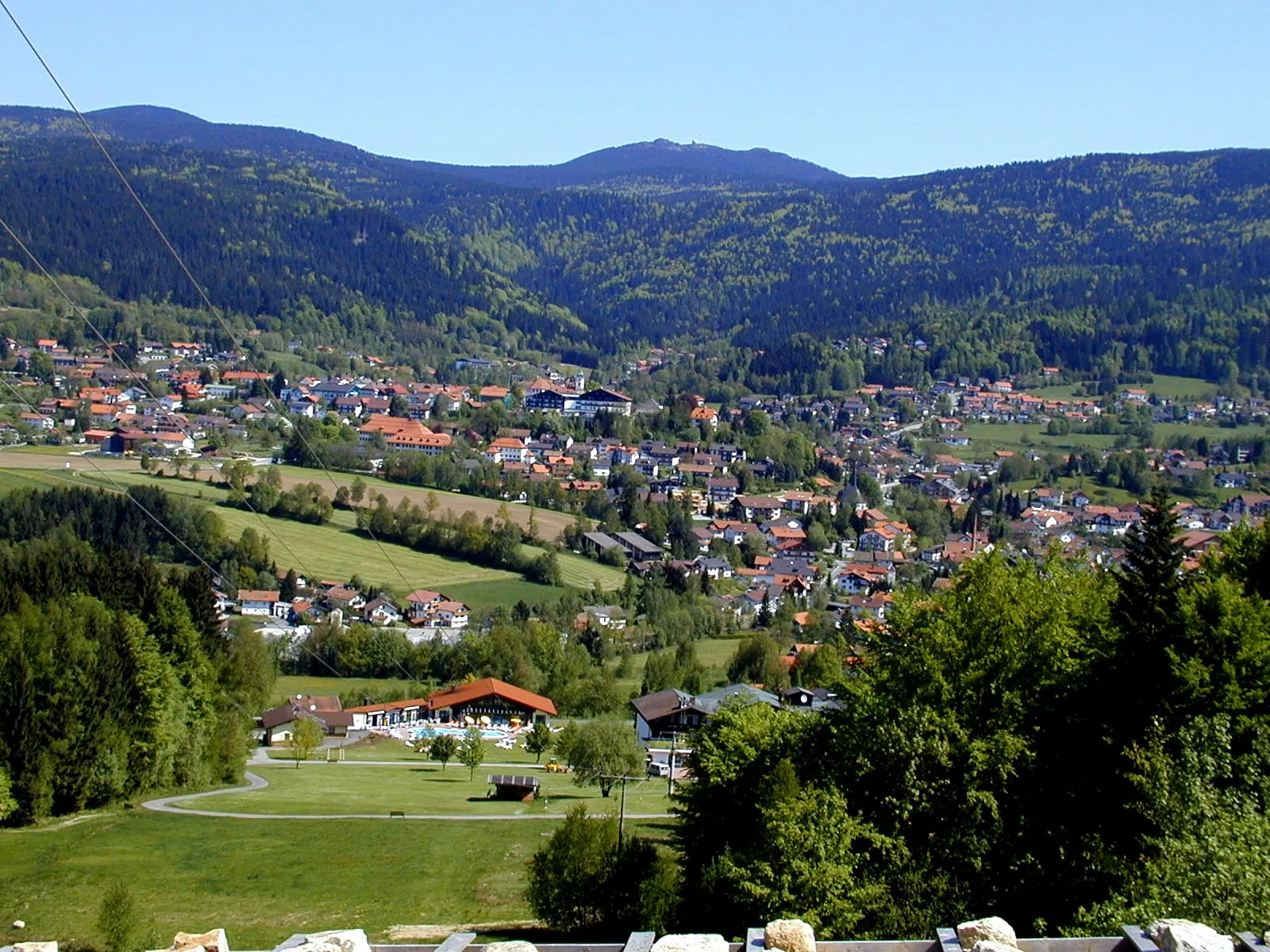
Hochzellberg1208 mPeakClimb the scenic Hochzellberg for breathtaking views of the surrounding rolling hills and verdant meadows.
34 km
34 km
BöhmhofHamletDiscover the small rural community of Böhmhof and its picturesque landscapes.
39 km
39 km
Anis709 mPeakAnis is a charming village known for its tranquil outdoor surroundings and traditional charm.
45 km
45 km
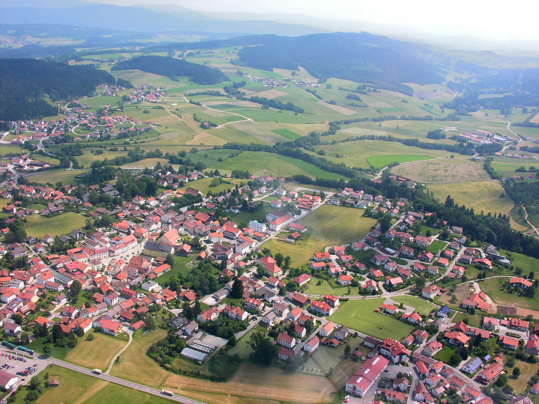
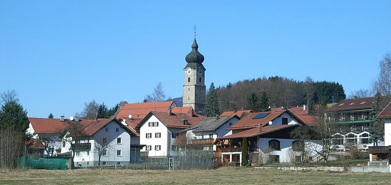
RegenTownRegen offers a calming respite for cyclists, with its soothing atmosphere and scenic river views.
55 km
55 km
Buchberg687 mPeakMarvel at the breathtaking panoramas from the peaceful Buchberg area, famed for its natural beauty.
57 km
57 km
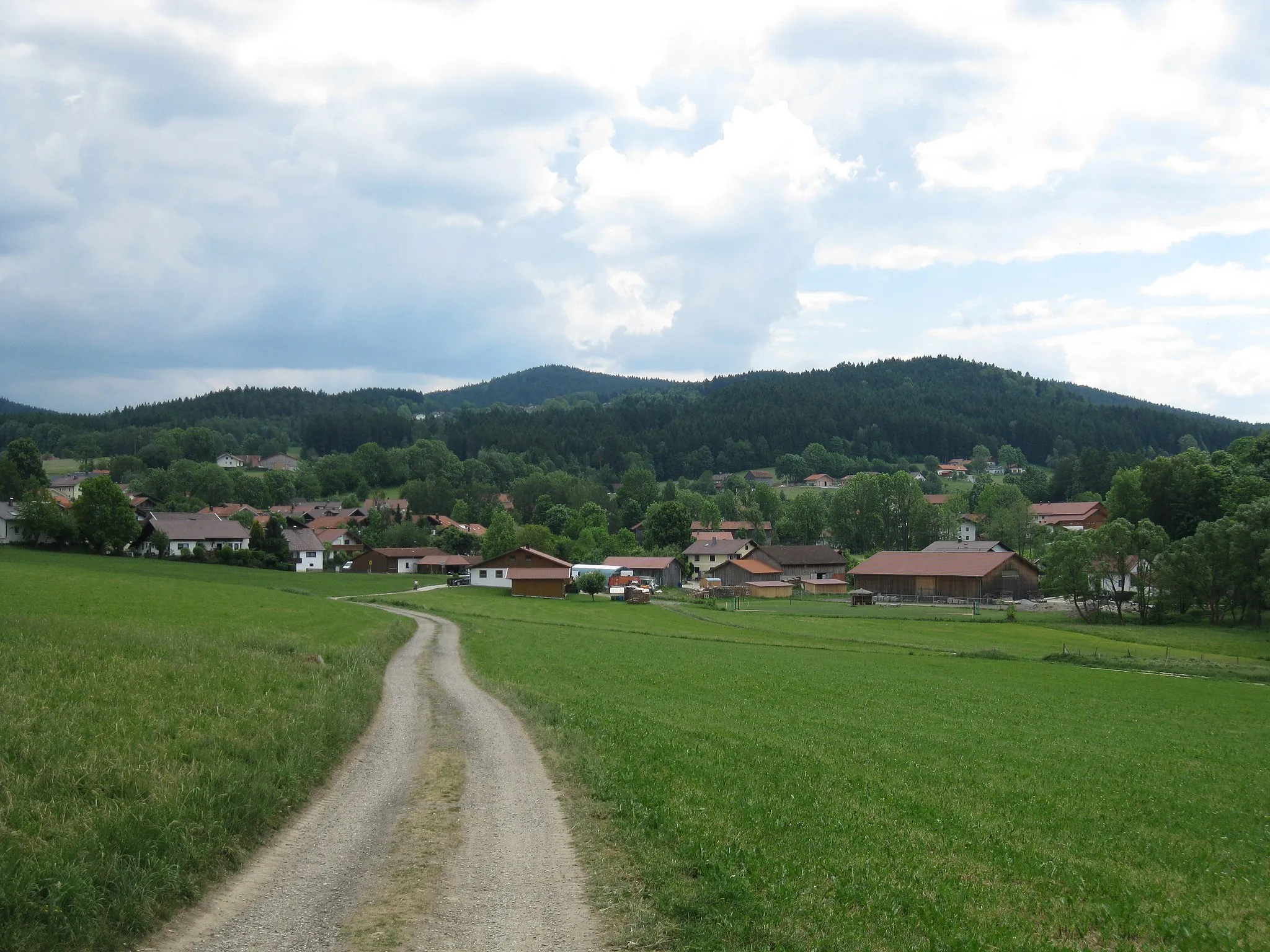
RuhmannsfeldenVillageCycle through the serene landscapes of Ruhmannsfelden, an idyllic village surrounded by lush greenery.
61 km
61 km
Finish: Schönberg Village centerPatersdorf: Quiet rural roads and a notable climb up Grosser Arber with stunning views.
Cycling routes from Patersdorf:
Ruhmannsfelden Gravel Loop Achslach Road Adventure Patersdorf Gravel Challenge Zachenberg Gravel Adventure Kühberg Loop Road Tour Challenging Road Cycling Route through Patersdorf Scenic Gravel Cycling Route around Patersdorf Thrilling Gravel Cycling Route through Patersdorf's Enchanting Nature Road Cycling Adventure in Patersdorf's Surroundings Diverse Road Cycling Route through Patersdorf's Surroundings The Bavarian Forest Loop
Cycling routes nearby: