Countryside Gravel Ride
A gravel cycling route starting from Pfeffenhausen
Delight in a countryside gravel ride through beautiful Niederbayern.
Map
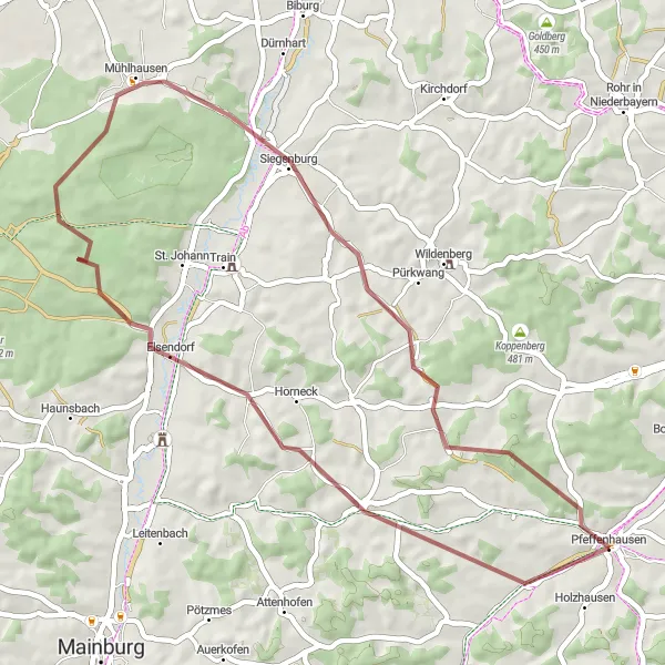
Enjoy a scenic gravel ride through the enchanting countryside of Niederbayern on this 45-kilometer route starting from Pfeffenhausen. Pedal along quiet country roads, soaking in the captivating scenery and immersing yourself in the tranquility of the region. With a mix of gentle climbs and flat sections, this route provides a fantastic introduction to gravel riding. Highlights along the way include Elsendorf, Dachsberg, Siegendorf, and Oberhornbach, each offering their unique charm and natural beauty.
gravel
45 km
430 m
Chill
Route profile
Highlights on the route
0 km
0 km
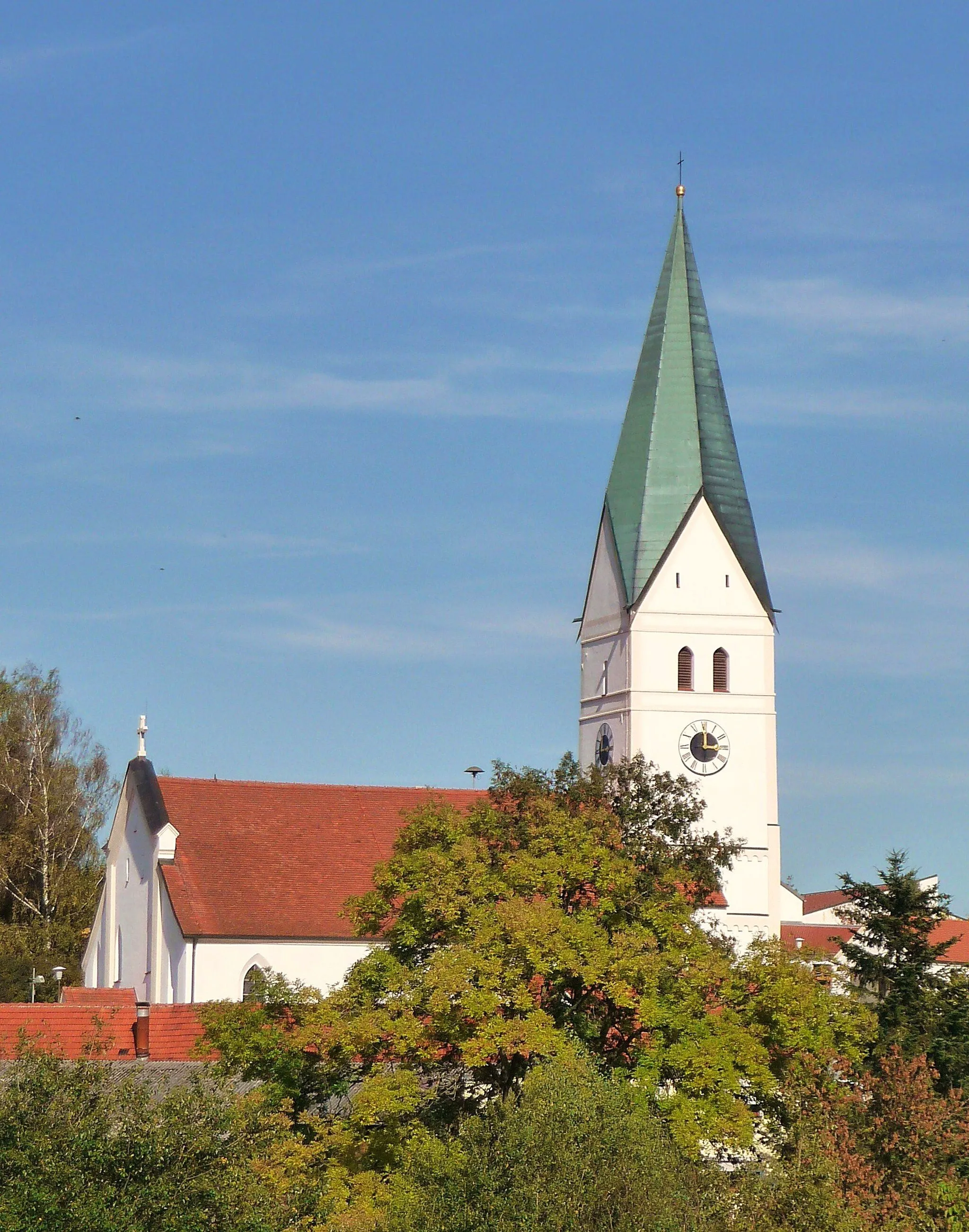
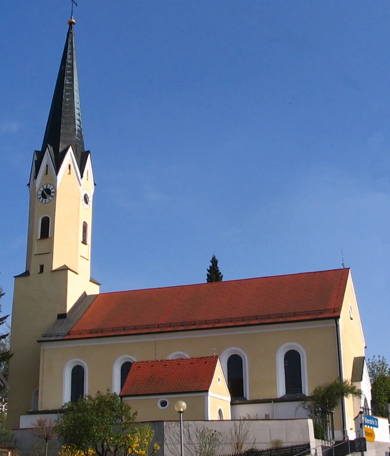
Start: Pfeffenhausen Village centerPfeffenhausen: Touring the Picturesque Countryside of Pfeffenhausen on Two Wheels
Pfeffenhausen is a municipality located in Niederbayern, Germany. As a cyclist, Pfeffenhausen offers a variety of road and gravel cycling routes. The area is mainly rural, with a mix of flat and rolling terrain. One popular cycling spot nearby is the Altmühltal Cycle Path, which follows the Altmühl River and showcases stunning landscapes and historic sites. Additionally, Pfeffenhausen is well-positioned for explorations of the Bavarian countryside and nearby towns. Overall, Pfeffenhausen is a great destination for cyclists looking to immerse themselves in nature and discover charming Bavarian villages.14 km
14 km
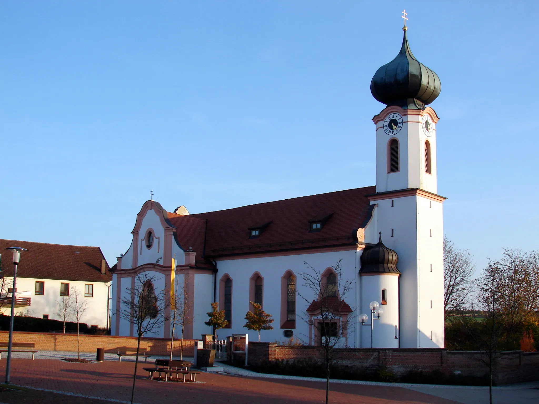
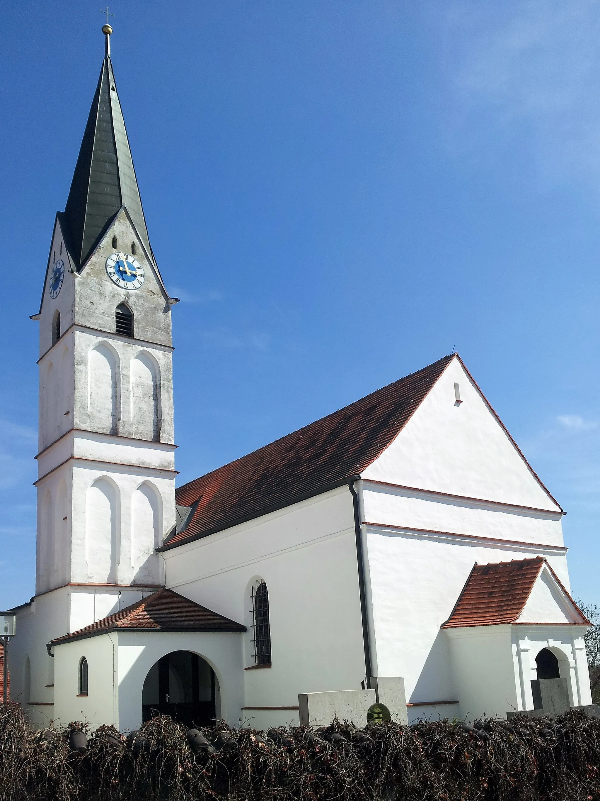
ElsendorfVillageAround 14 kilometers into the route, you'll encounter Elsendorf, a small village known for its picturesque landscapes and charming atmosphere. Take a moment to appreciate the tranquility and natural beauty of this rustic gem.
23 km
23 km
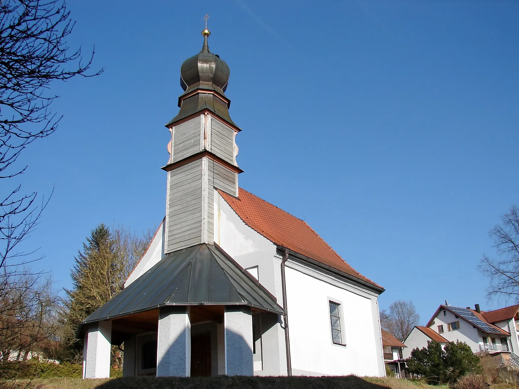
Dachsberg425 mPeakDachsberg, situated approximately 23 kilometers into the route, offers a peaceful countryside escape. As you pass through this region, embrace the idyllic surroundings and bask in the serenity of Niederbayern's landscape.
30 km
30 km
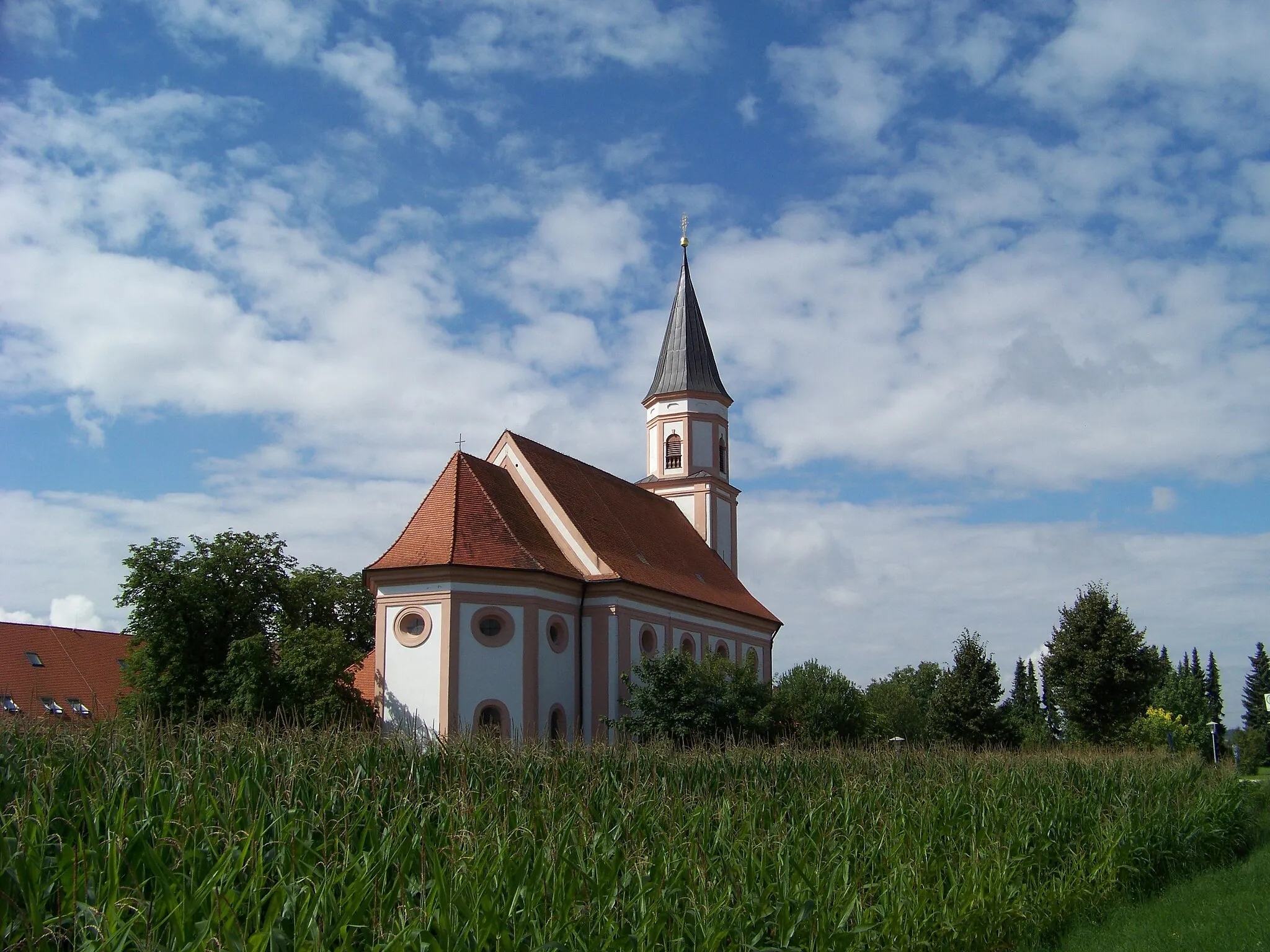
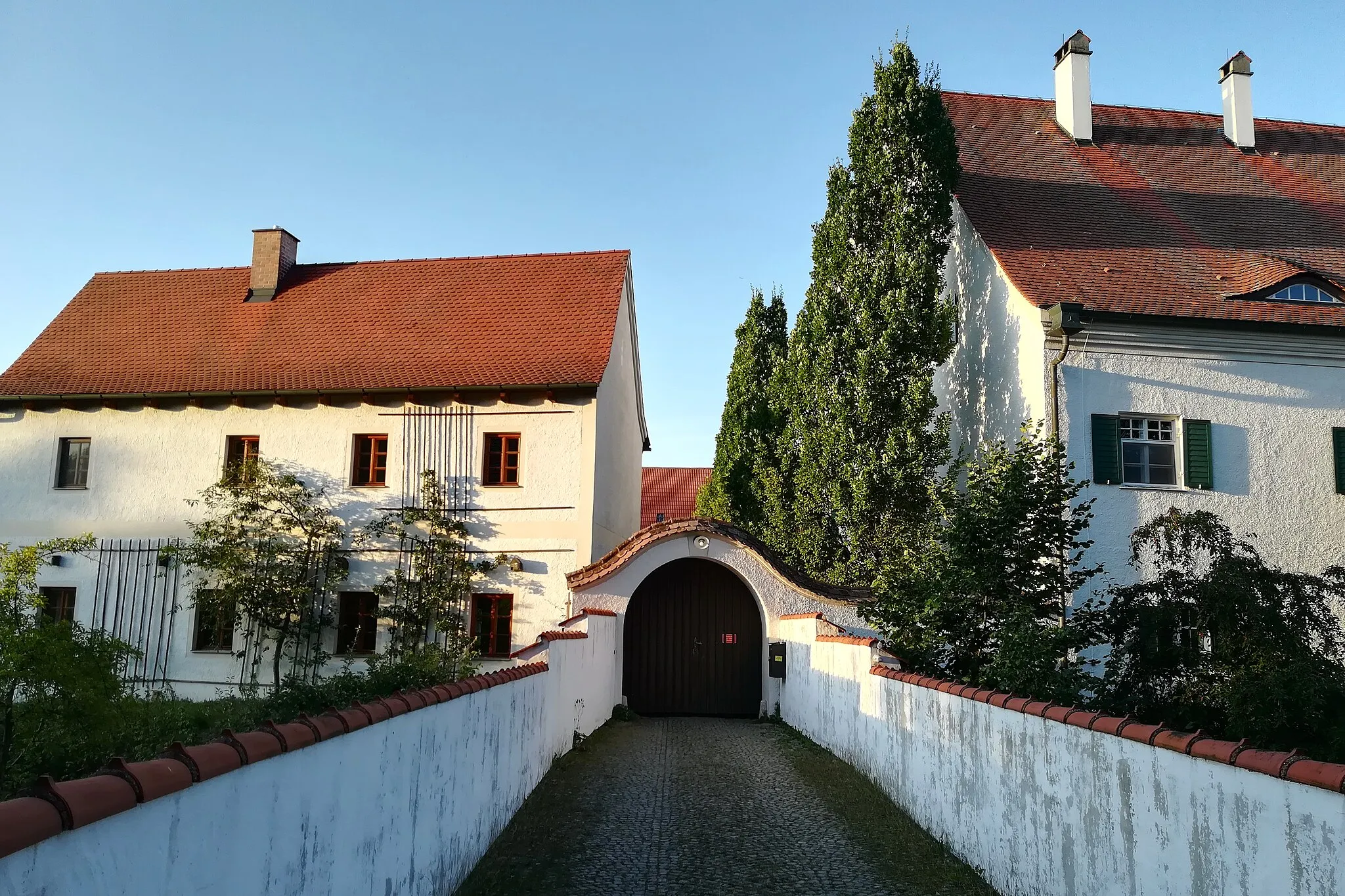
SiegenburgVillageAs you approach Siegenburg at around 30 kilometers into the route, take a moment to appreciate the historical atmosphere and marvelous architecture. The village's rich history and unique charm make it a standout feature of this gravel ride.
40 km
40 km
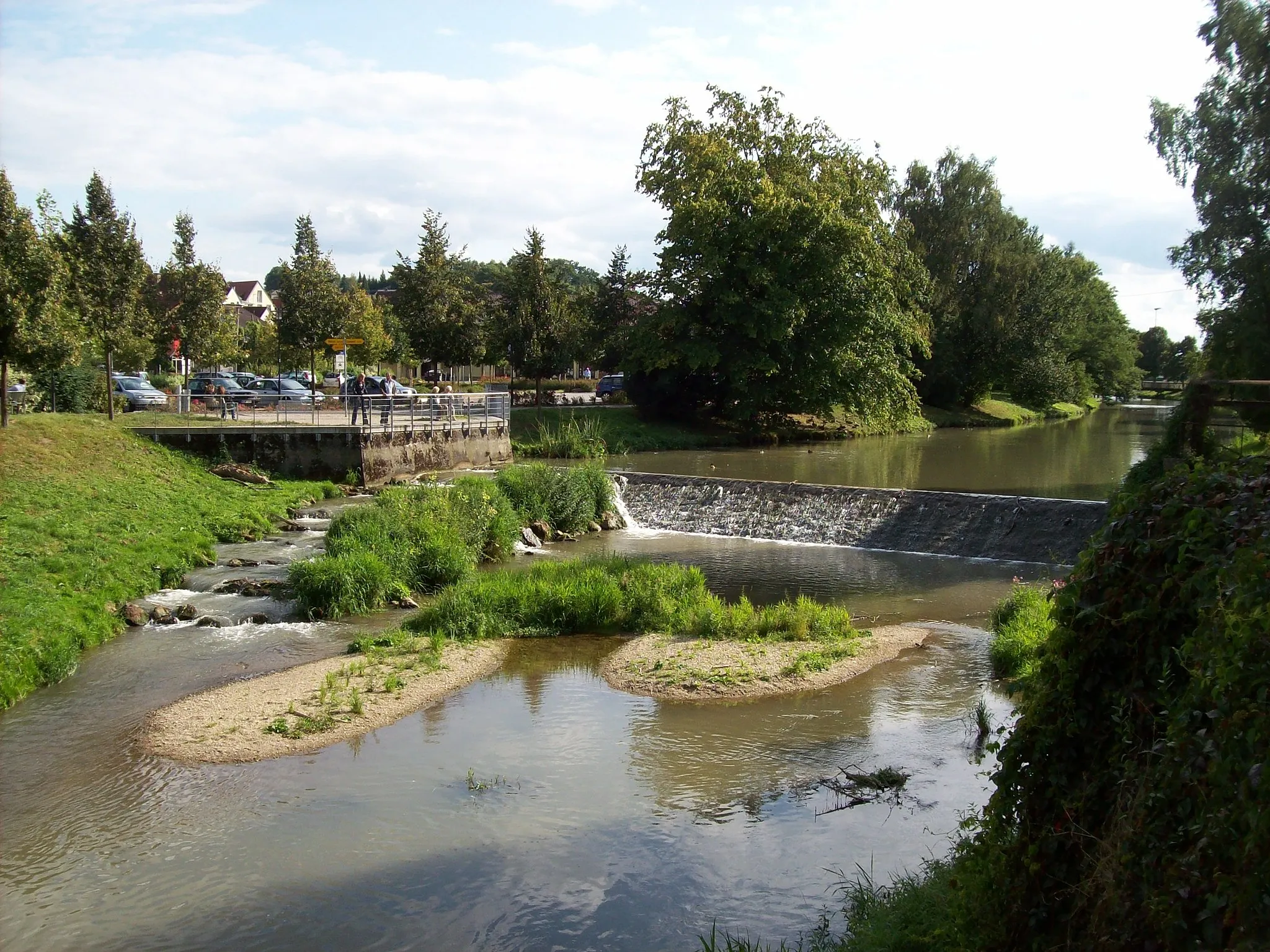
OberhornbachHamletOberhornbach, located approximately 40 kilometers into the route, presents visitors with its quaint ambiance and glorious vistas. Enjoy the scenic view as you ride through this charming countryside destination.
45 km
45 km
Finish: Pfeffenhausen Village centerPfeffenhausen: Touring the Picturesque Countryside of Pfeffenhausen on Two Wheels
Cycling routes from Pfeffenhausen:
Pfeffenhausen - Koppenwall - Mainburg - Pfeffenhausen Pfeffenhausen Circuit Gravel Adventure to Landshut Pfeffenhausen - Mainburg - Münchsmünster - Kirchdorf - Predigtstuhl Rolling Hills Gravel Adventure Countryside Gravel Ride Scenic Gravel Loop Pfeffenhausen - Rottenburg an der Laaber - Ergoldsbach - Kapellenberg/Lourdes-Kapelle - Niederaichbach - Adlkofen - Annaberg - Furth Pfeffenhausen - Rottenburg an der Laaber - Andermannsdorf - Mirskofen - Schloss Piflas - Gündlkofen - Furth Pfeffenhausen - Weihmichl - Altdorf - Klausenberg - Schusterberg - Buch am Erlbach - Salzberg - Gammelsdorf - Pfeffenhausen The Pfeffenhausen Adventure Pfeffenhausen Circuit
Cycling routes nearby: