Pfeffenhausen Circuit
A road cycling route starting from Pfeffenhausen
A challenging road cycling route
Map
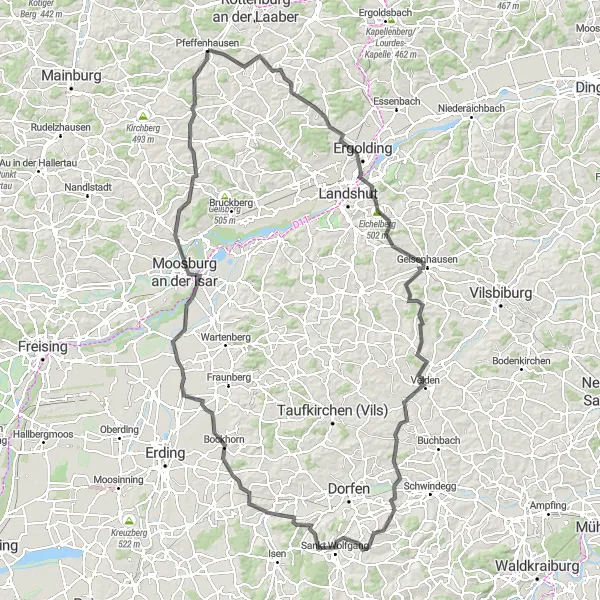
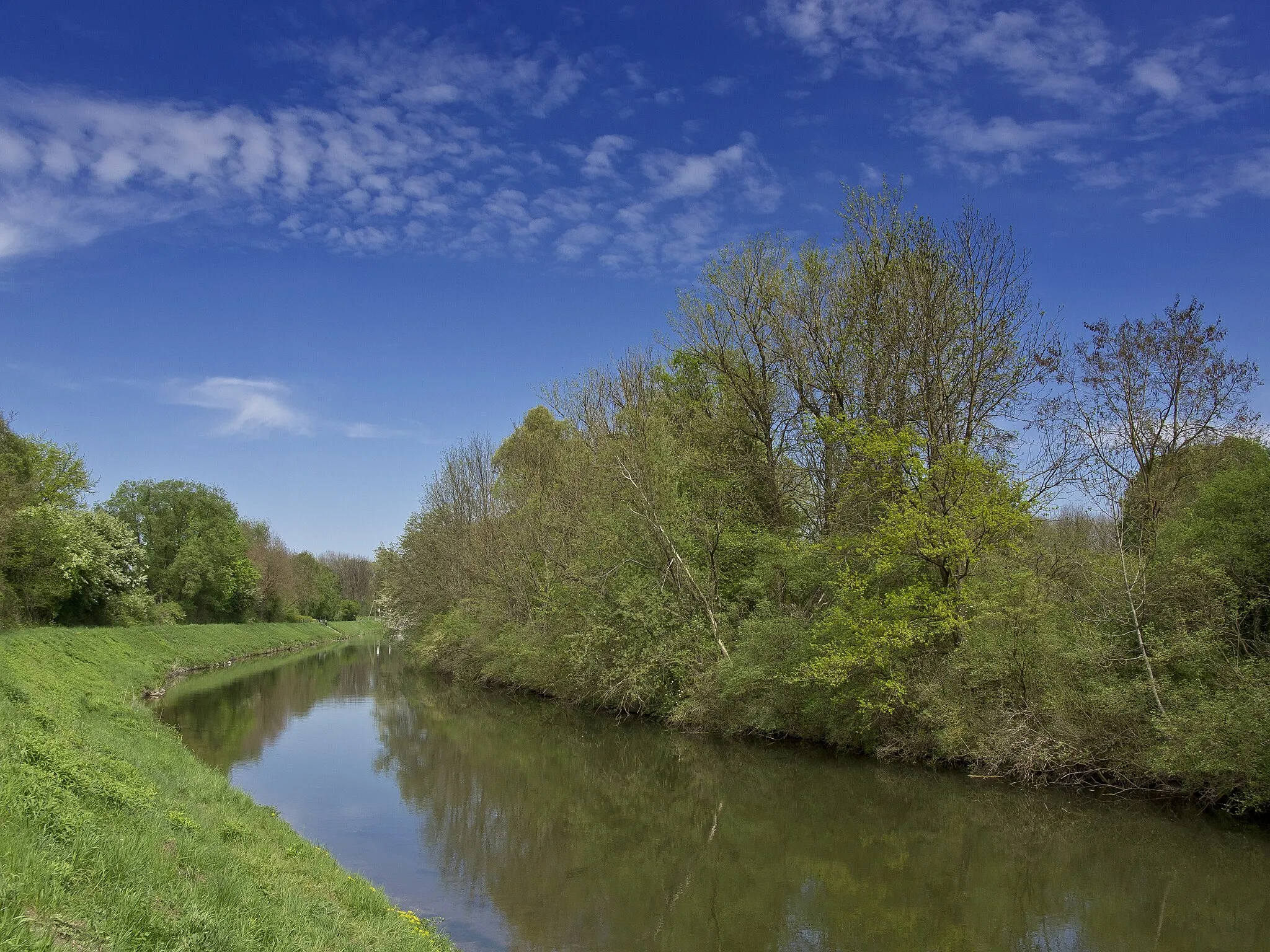
The Pfeffenhausen Circuit is a challenging road cycling route starting near Pfeffenhausen in Niederbayern, Germany. With a total ascent of 1280 meters and a distance of 143 kilometers, this route is suitable for very well-trained amateurs. The route offers beautiful landscapes, picturesque villages, and charming countryside roads. It is a great opportunity to explore the region while enjoying the thrill of cycling.
road
143 km
1280 m
Tough
Route profile
Highlights on the route
0 km
0 km
Start: Pfeffenhausen Village centerPfeffenhausen: Touring the Picturesque Countryside of Pfeffenhausen on Two Wheels
Pfeffenhausen is a municipality located in Niederbayern, Germany. As a cyclist, Pfeffenhausen offers a variety of road and gravel cycling routes. The area is mainly rural, with a mix of flat and rolling terrain. One popular cycling spot nearby is the Altmühltal Cycle Path, which follows the Altmühl River and showcases stunning landscapes and historic sites. Additionally, Pfeffenhausen is well-positioned for explorations of the Bavarian countryside and nearby towns. Overall, Pfeffenhausen is a great destination for cyclists looking to immerse themselves in nature and discover charming Bavarian villages.6 km
6 km
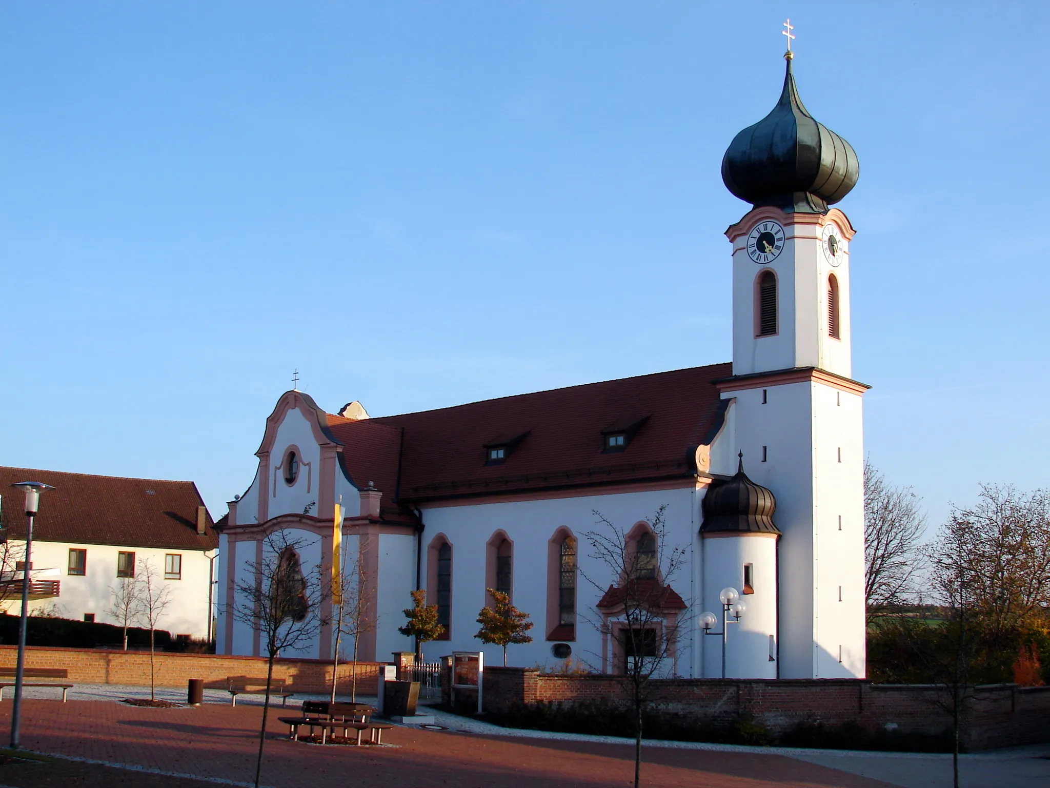
SchmatzhausenVillageSchmatzhausen, located 6 kilometers into the route, is a quaint village with traditional Bavarian architecture and a charming atmosphere.
21 km
21 km
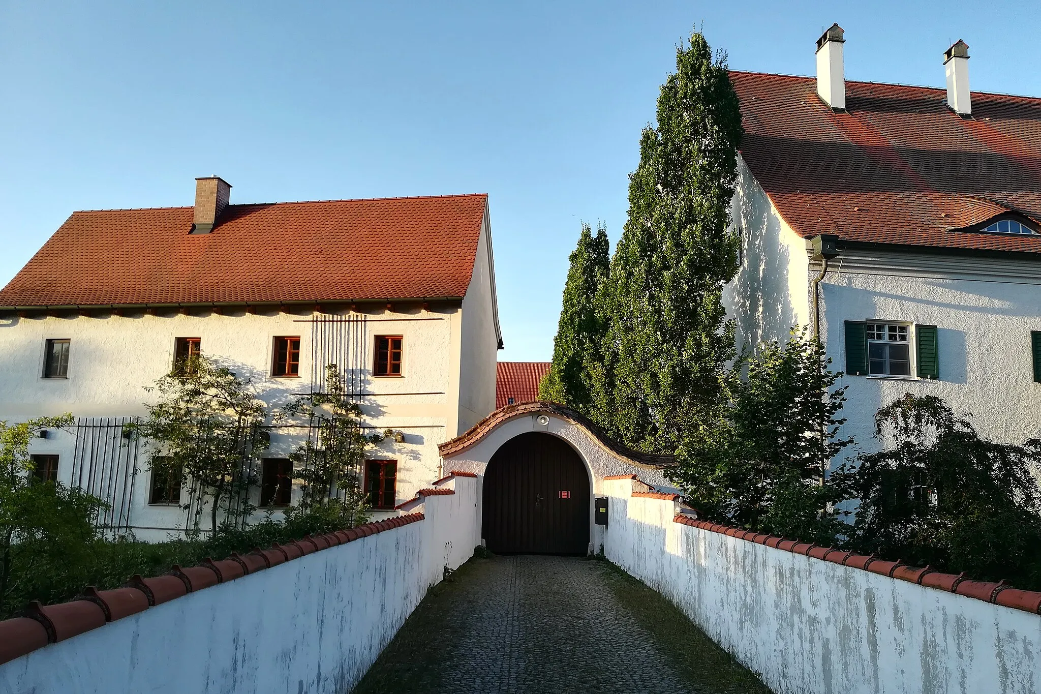
ErgoldingTownErgolding, at the 21-kilometer mark, showcases impressive historical buildings, including the picturesque Wacker Castle.
28 km
28 km
Eichelberg502 mPeakEichelberg, at the 28-kilometer mark, offers stunning panoramic views of the surrounding countryside.
36 km
36 km
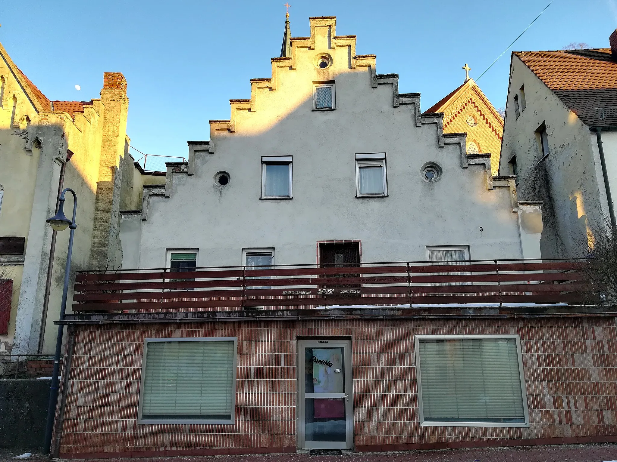
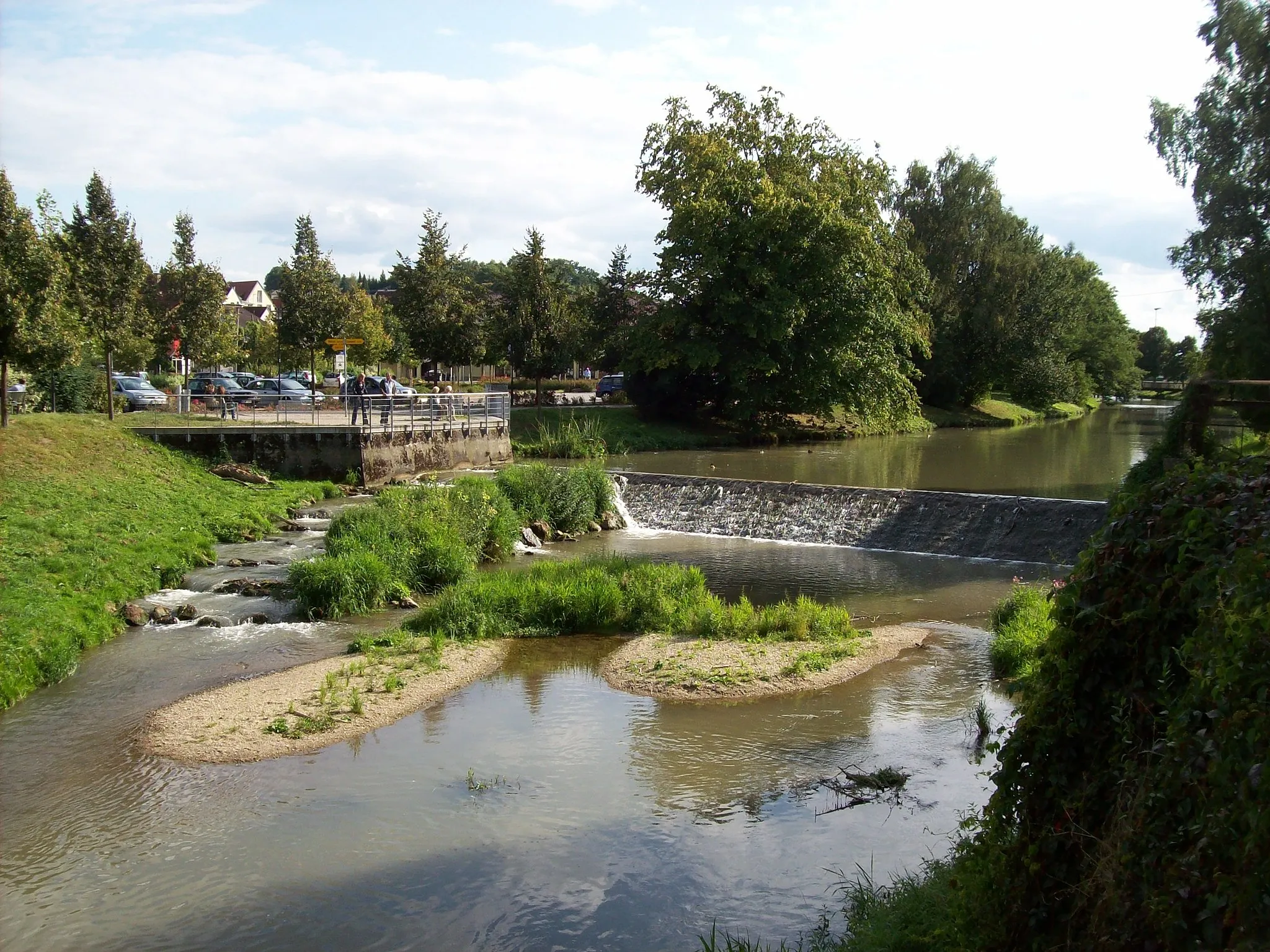
GeisenhausenVillageGeisenhausen, located 36 kilometers into the route, is known for its beautiful market square and medieval town walls.
52 km
52 km
KleinveldenHamletKleinvelden, at the 52-kilometer point, is a small village surrounded by rolling hills and scenic farmland.
76 km
76 km
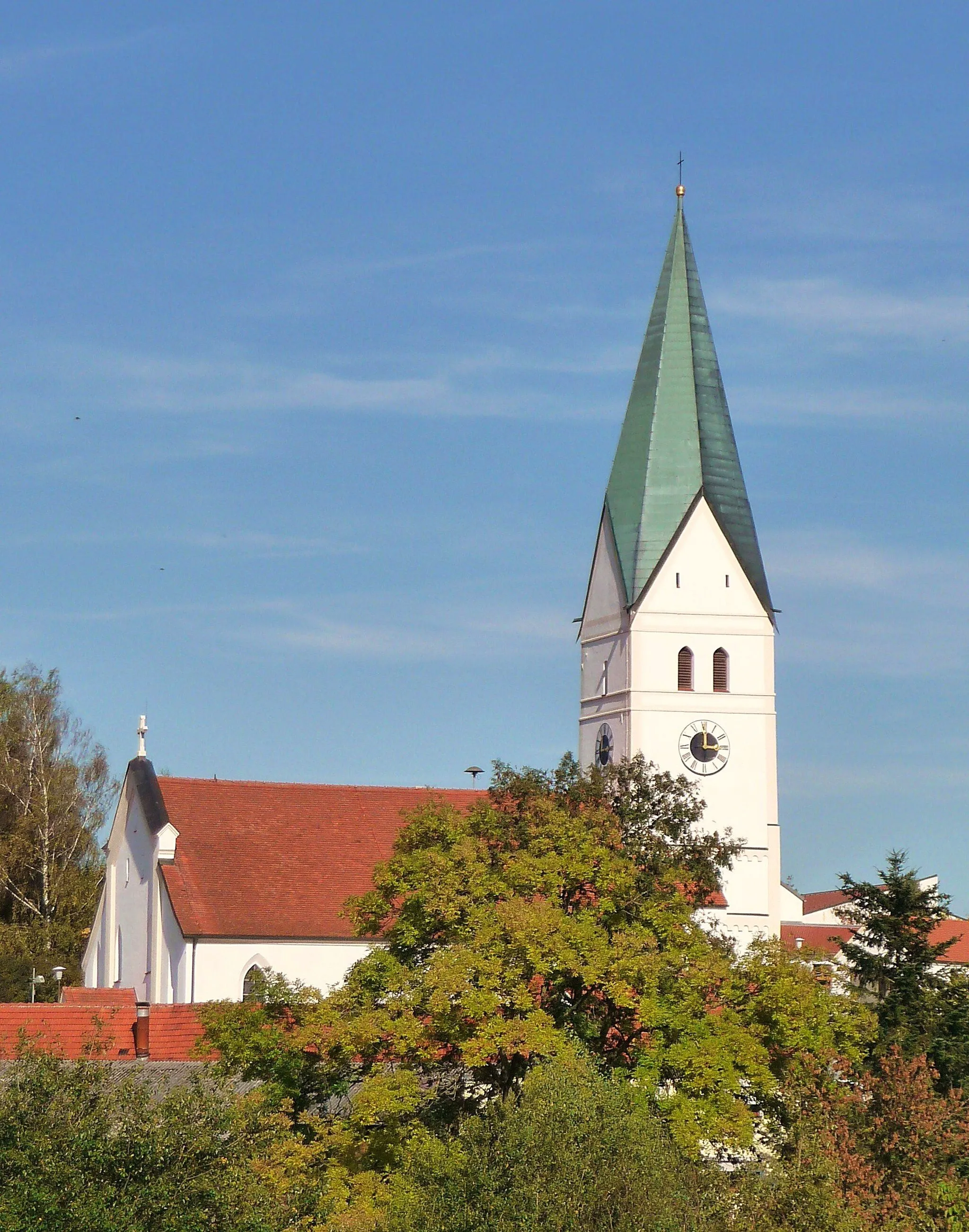
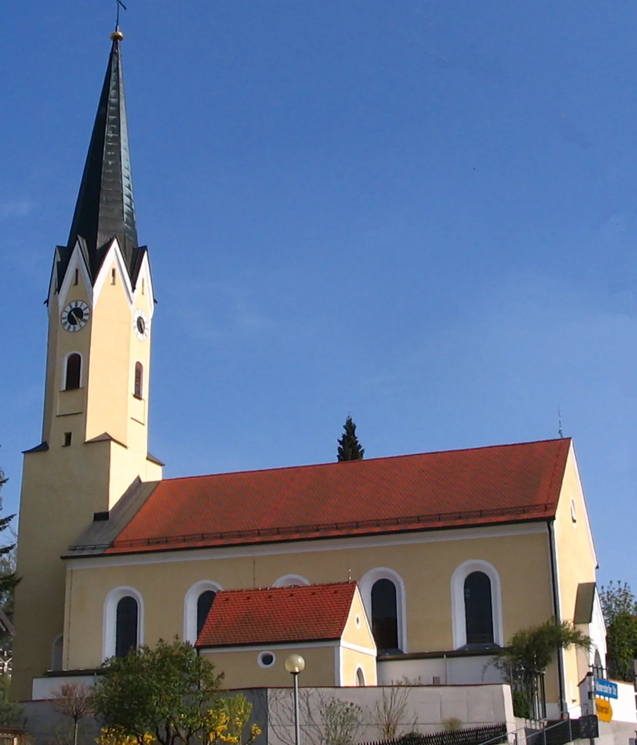
GroßschwindauVillageGroßschwindau, at the 76-kilometer mark, features a picturesque church and offers a peaceful rural ambiance.
86 km
86 km
LengdorfVillageLengdorf, located 86 kilometers into the route, is home to charming traditional Bavarian houses and a welcoming atmosphere.
107 km
107 km
BerglernVillageBerglern, at the 107-kilometer mark, is a historic town with a picturesque castle and scenic surroundings.
118 km
118 km
Moosburg an der IsarTownMoosburg an der Isar, at the 118-kilometer point, is a charming town with a vibrant historic center and the impressive Moosburg Castle.
136 km
136 km
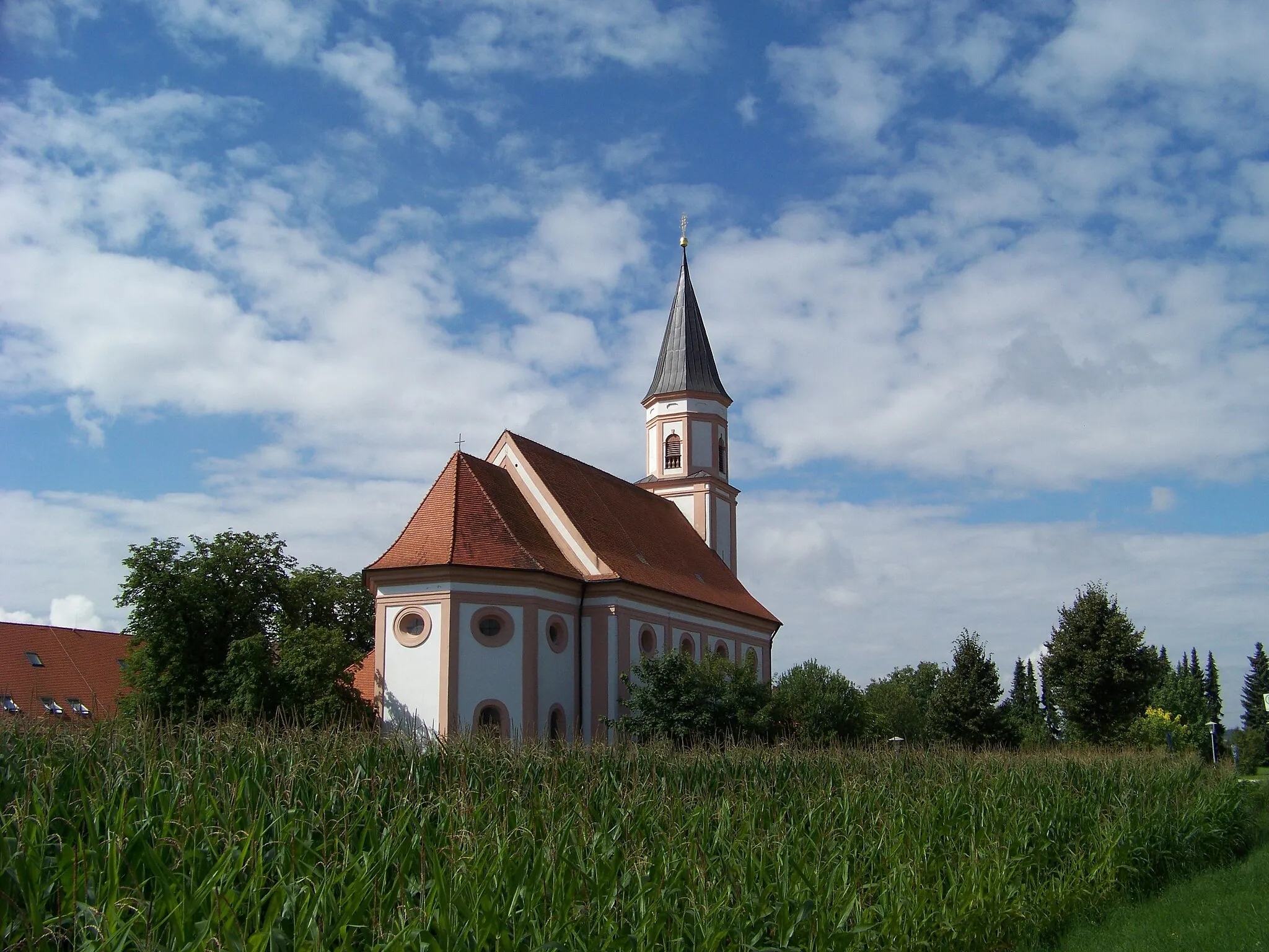
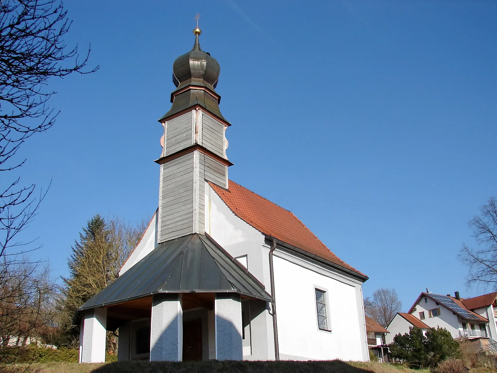
ObersüßbachVillageObersüßbach, located 136 kilometers into the route, offers beautiful views of rolling hills and traditional Bavarian farms.
143 km
143 km
Finish: Pfeffenhausen Village centerPfeffenhausen: Touring the Picturesque Countryside of Pfeffenhausen on Two Wheels
Cycling routes from Pfeffenhausen:
Pfeffenhausen - Koppenwall - Mainburg - Pfeffenhausen Pfeffenhausen Circuit Gravel Adventure to Landshut Pfeffenhausen - Mainburg - Münchsmünster - Kirchdorf - Predigtstuhl Rolling Hills Gravel Adventure Countryside Gravel Ride Scenic Gravel Loop Pfeffenhausen - Rottenburg an der Laaber - Ergoldsbach - Kapellenberg/Lourdes-Kapelle - Niederaichbach - Adlkofen - Annaberg - Furth Pfeffenhausen - Rottenburg an der Laaber - Andermannsdorf - Mirskofen - Schloss Piflas - Gündlkofen - Furth Pfeffenhausen - Weihmichl - Altdorf - Klausenberg - Schusterberg - Buch am Erlbach - Salzberg - Gammelsdorf - Pfeffenhausen The Pfeffenhausen Adventure Pfeffenhausen Circuit
Cycling routes nearby: