The Pfeffenhausen Adventure
A road cycling route starting from Pfeffenhausen
Explore the scenic Bavarian countryside on this incredible cycling route near Pfeffenhausen
Map
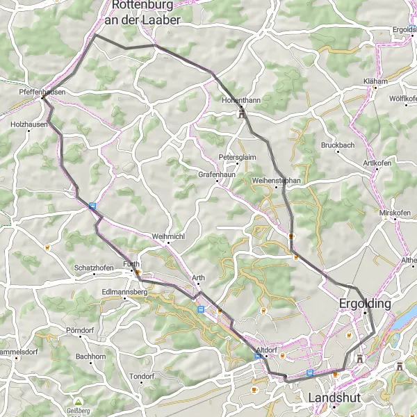
The Pfeffenhausen Adventure is a mesmerizing cycling route that takes you through the beautiful landscapes of Niederbayern, Germany. With a total distance of 53 kilometers and an elevation gain of 358 meters, this road cycling route is perfect for well-trained amateurs looking for an exciting challenge. As you embark on this journey, you'll be treated to picturesque views of rolling hills, enchanting villages, and charming Bavarian architecture.
road
53 km
358 m
Tough
Route profile
Highlights on the route
0 km
0 km
Start: Pfeffenhausen Village centerPfeffenhausen: Touring the Picturesque Countryside of Pfeffenhausen on Two Wheels
Pfeffenhausen is a municipality located in Niederbayern, Germany. As a cyclist, Pfeffenhausen offers a variety of road and gravel cycling routes. The area is mainly rural, with a mix of flat and rolling terrain. One popular cycling spot nearby is the Altmühltal Cycle Path, which follows the Altmühl River and showcases stunning landscapes and historic sites. Additionally, Pfeffenhausen is well-positioned for explorations of the Bavarian countryside and nearby towns. Overall, Pfeffenhausen is a great destination for cyclists looking to immerse themselves in nature and discover charming Bavarian villages.0 km
0 km
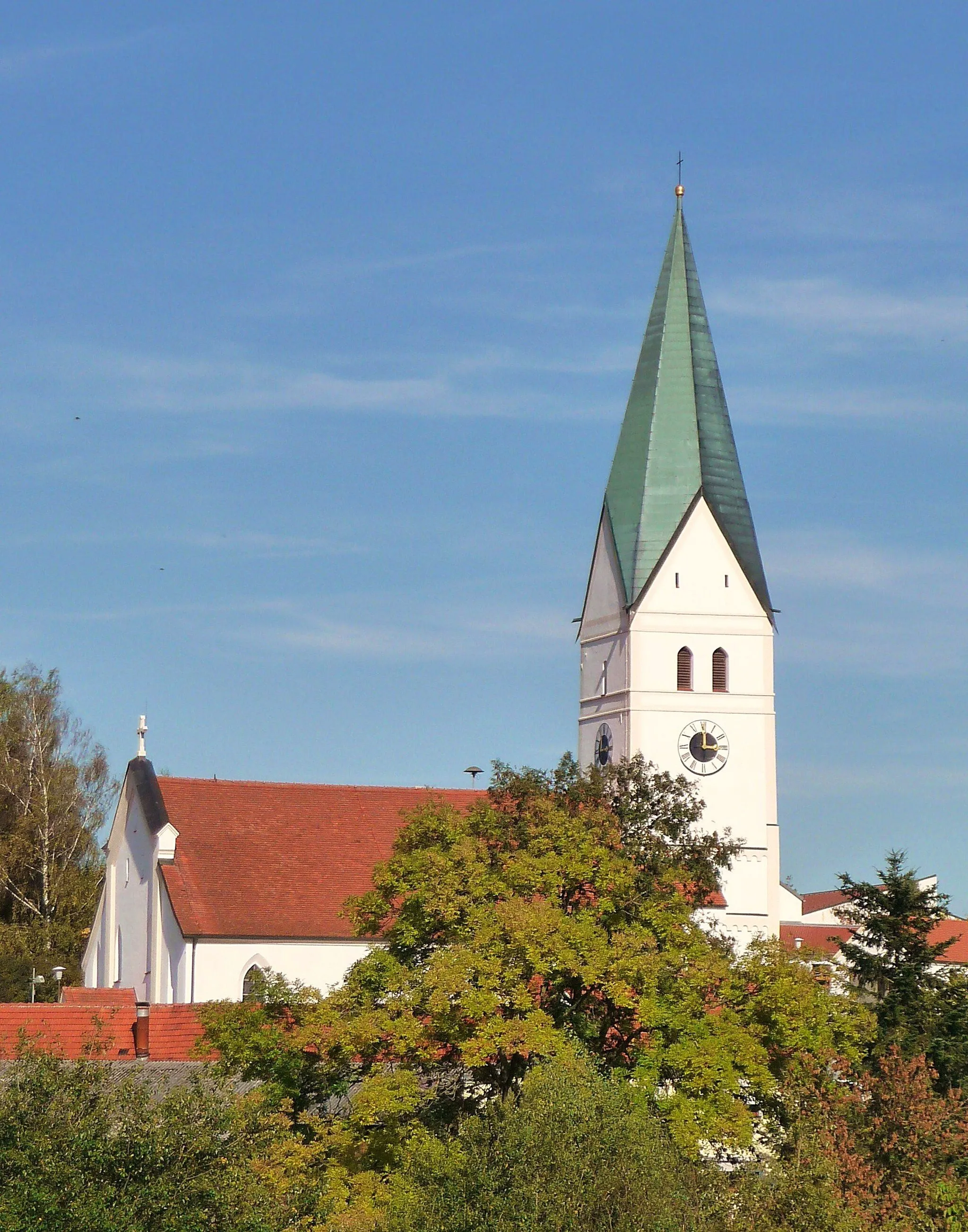
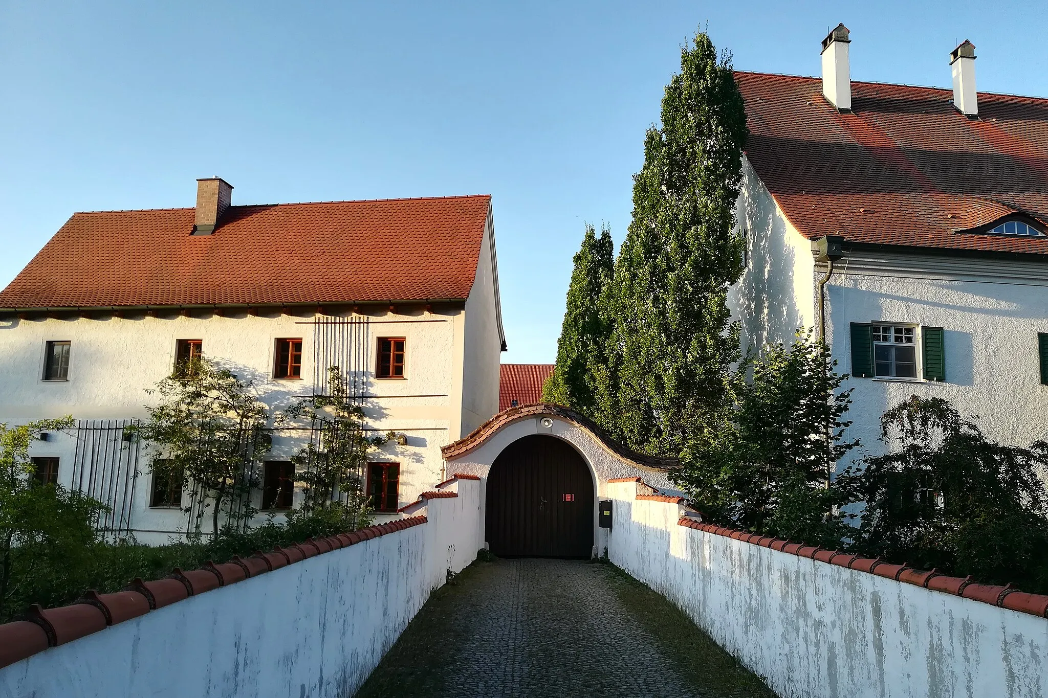
PfeffenhausenVillagePfeffenhausen, the starting point of your adventure, is a quaint Bavarian village known for its historic charm and vibrant culture. Take a moment to explore its colorful streets and traditional Bavarian houses.
12 km
12 km
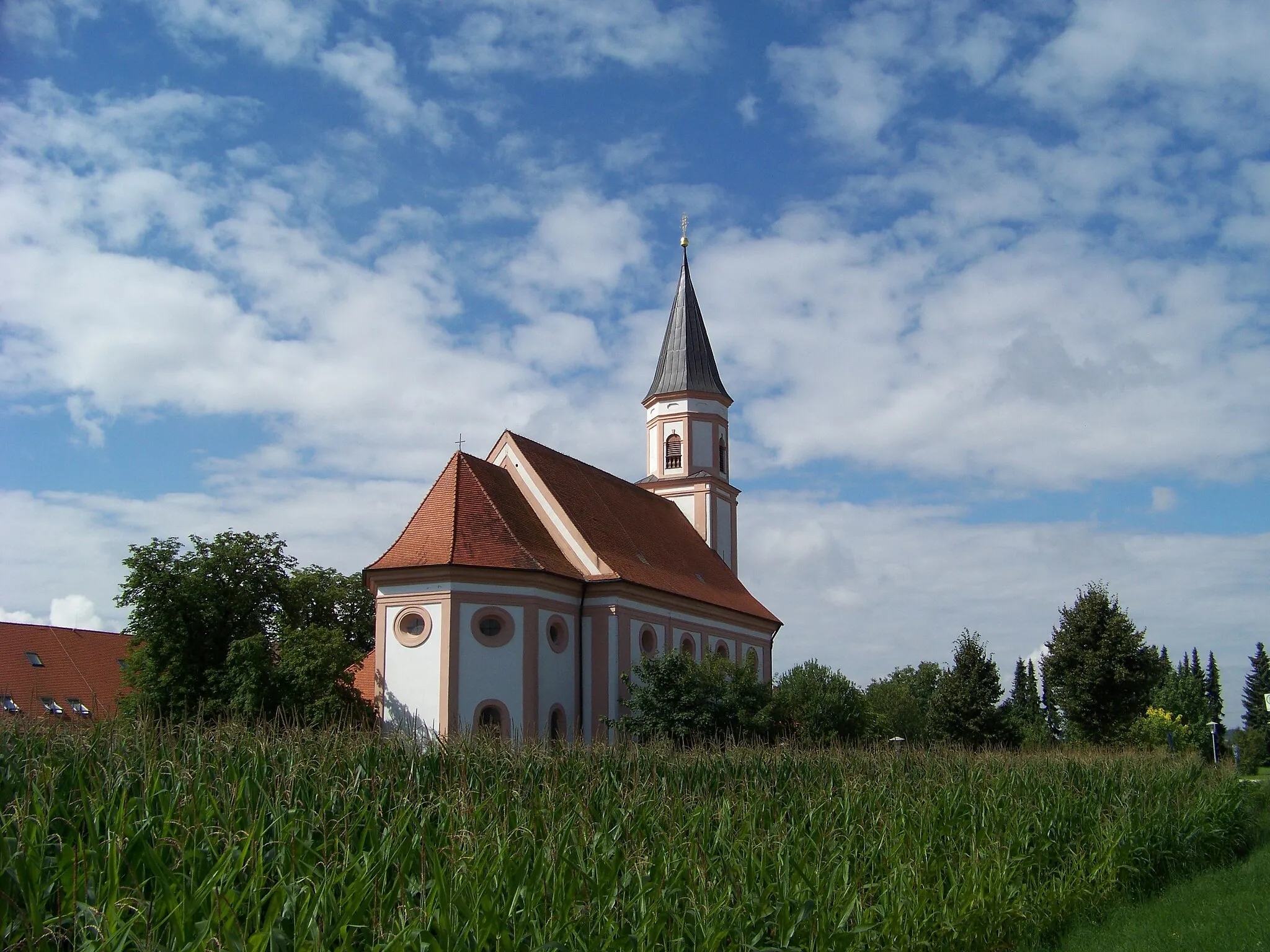
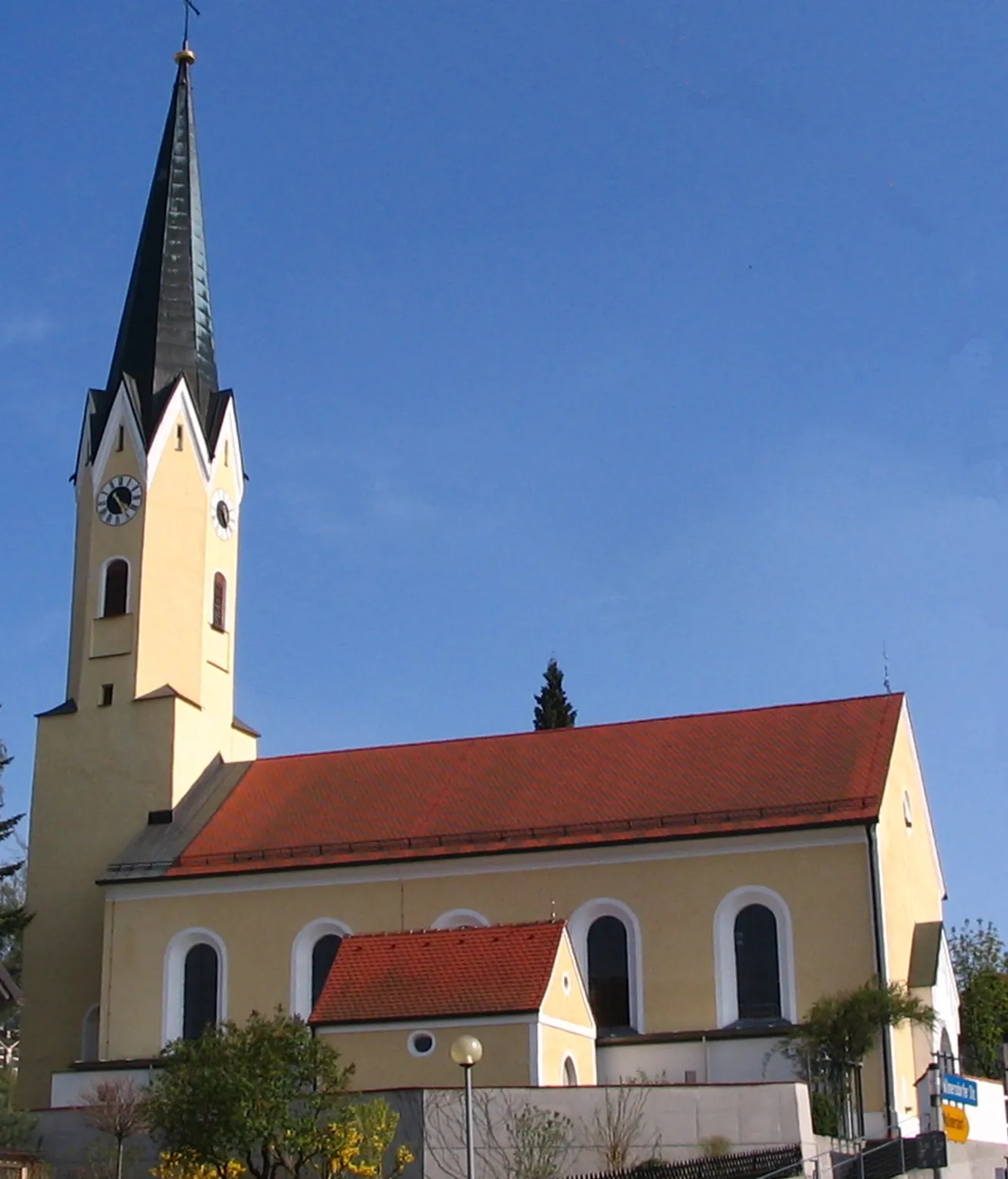
HohenthannVillageHohenthann, located 12 kilometers into your journey, offers a panoramic view of the surrounding countryside. The village is home to several architectural gems, including the stunning St. Peter's Church.
22 km
22 km
Galgenberg444 mPeakGalgenberg, situated 22 kilometers along the route, is a popular spot for both cyclists and hikers. Climb to the top of Galgenberg and soak in the breathtaking vistas of the Bavarian landscape.
25 km
25 km
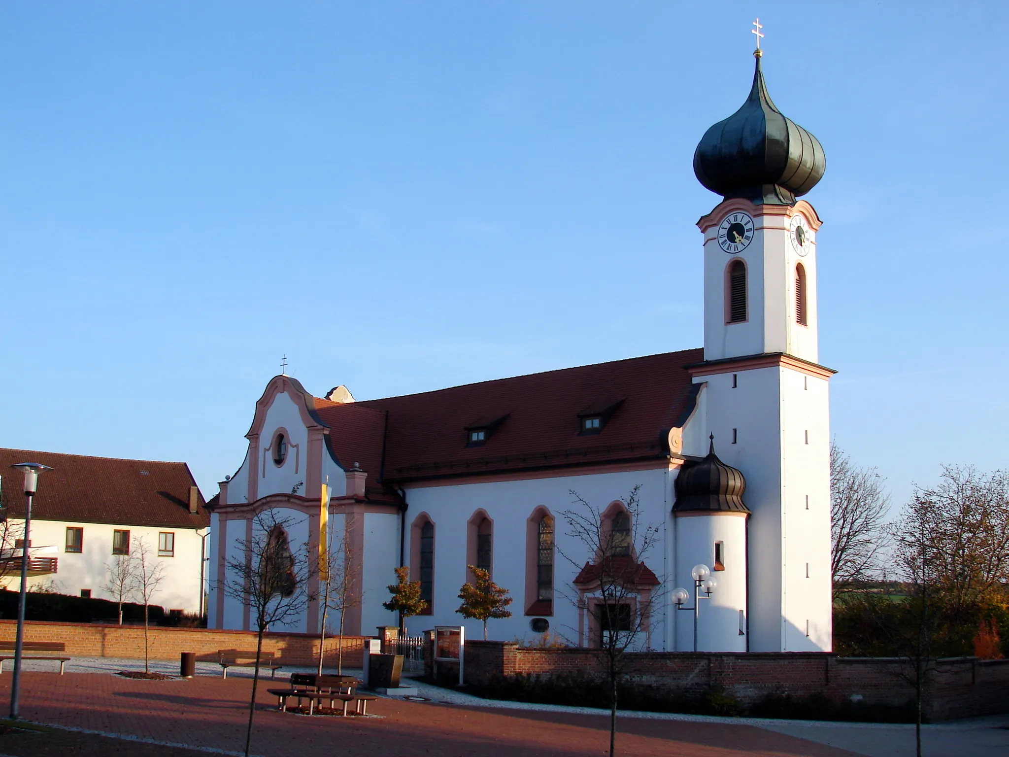
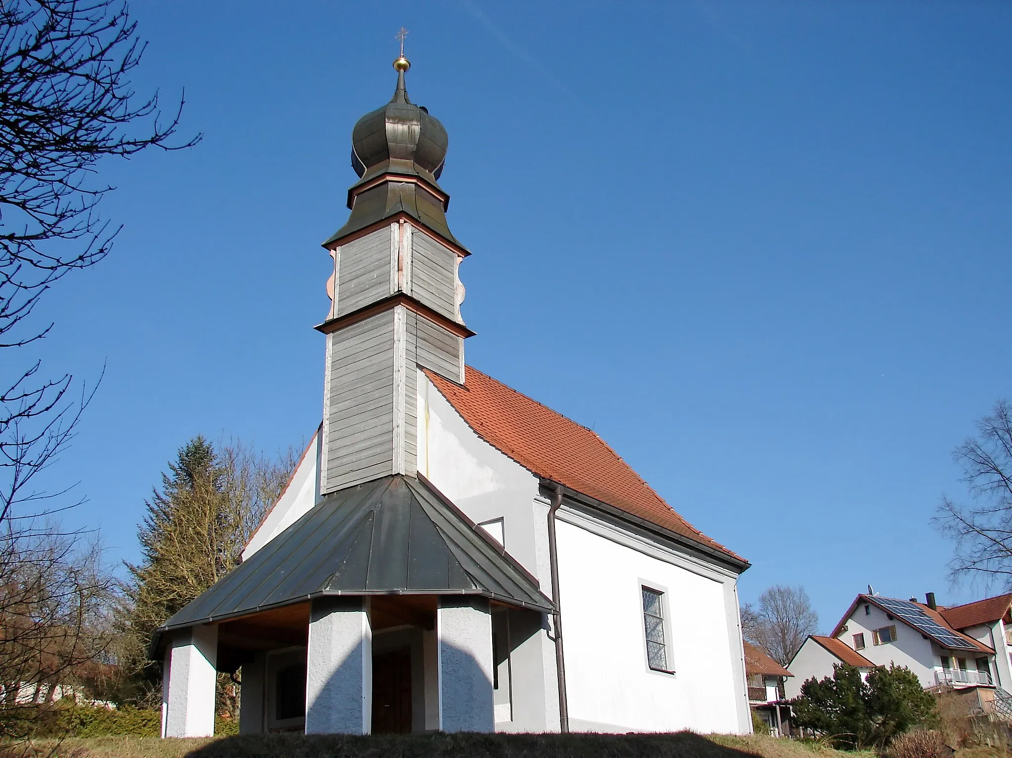
ErgoldingTownErgolding, at a distance of 25 kilometers, is a quaint town with a rich history. Explore its charming streets and visit the local museum to learn more about the region's heritage.
43 km
43 km
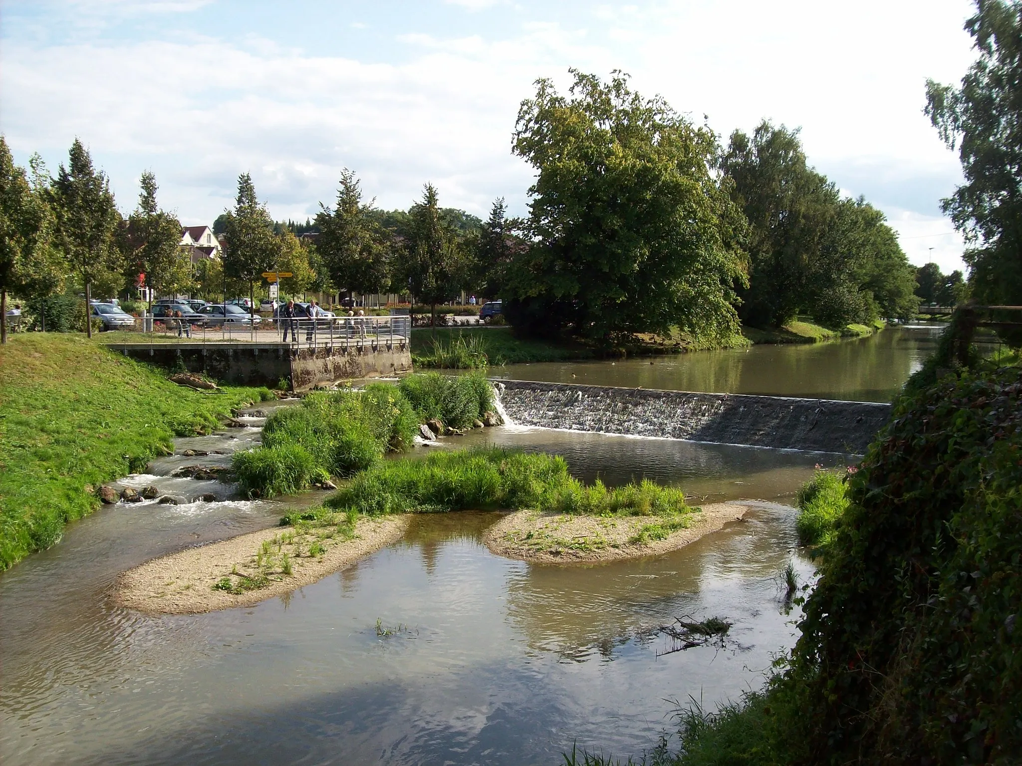
FurthVillageFurth, located 43 kilometers into the route, is a peaceful village that offers a delightful respite for weary cyclists. Enjoy a refreshing break at one of the local cafes or explore the nearby nature trails.
53 km
53 km
Finish: Pfeffenhausen Village centerPfeffenhausen: Touring the Picturesque Countryside of Pfeffenhausen on Two Wheels
Cycling routes from Pfeffenhausen:
Pfeffenhausen - Koppenwall - Mainburg - Pfeffenhausen Pfeffenhausen Circuit Gravel Adventure to Landshut Pfeffenhausen - Mainburg - Münchsmünster - Kirchdorf - Predigtstuhl Rolling Hills Gravel Adventure Countryside Gravel Ride Scenic Gravel Loop Pfeffenhausen - Rottenburg an der Laaber - Ergoldsbach - Kapellenberg/Lourdes-Kapelle - Niederaichbach - Adlkofen - Annaberg - Furth Pfeffenhausen - Rottenburg an der Laaber - Andermannsdorf - Mirskofen - Schloss Piflas - Gündlkofen - Furth Pfeffenhausen - Weihmichl - Altdorf - Klausenberg - Schusterberg - Buch am Erlbach - Salzberg - Gammelsdorf - Pfeffenhausen The Pfeffenhausen Adventure Pfeffenhausen Circuit
Cycling routes nearby: