Röhrnbach and Beyond
A road cycling route starting from Roehrnbach
A challenging road cycling route with stunning climbs
Map
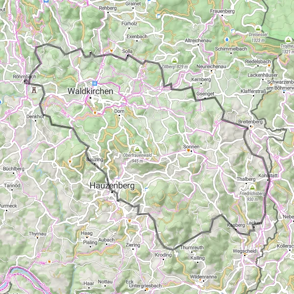
This road cycling route starts and ends in Röhrnbach, covering a distance of 79 kilometers and featuring an ascent of 1762 meters. Cyclists will face challenging climbs and enjoy breathtaking views of the Bavarian countryside along the way. The route is suitable for experienced amateur cyclists who are looking for a challenging and rewarding ride.
road
79 km
1762 m
Tough
Route profile
Highlights on the route
0 km
0 km
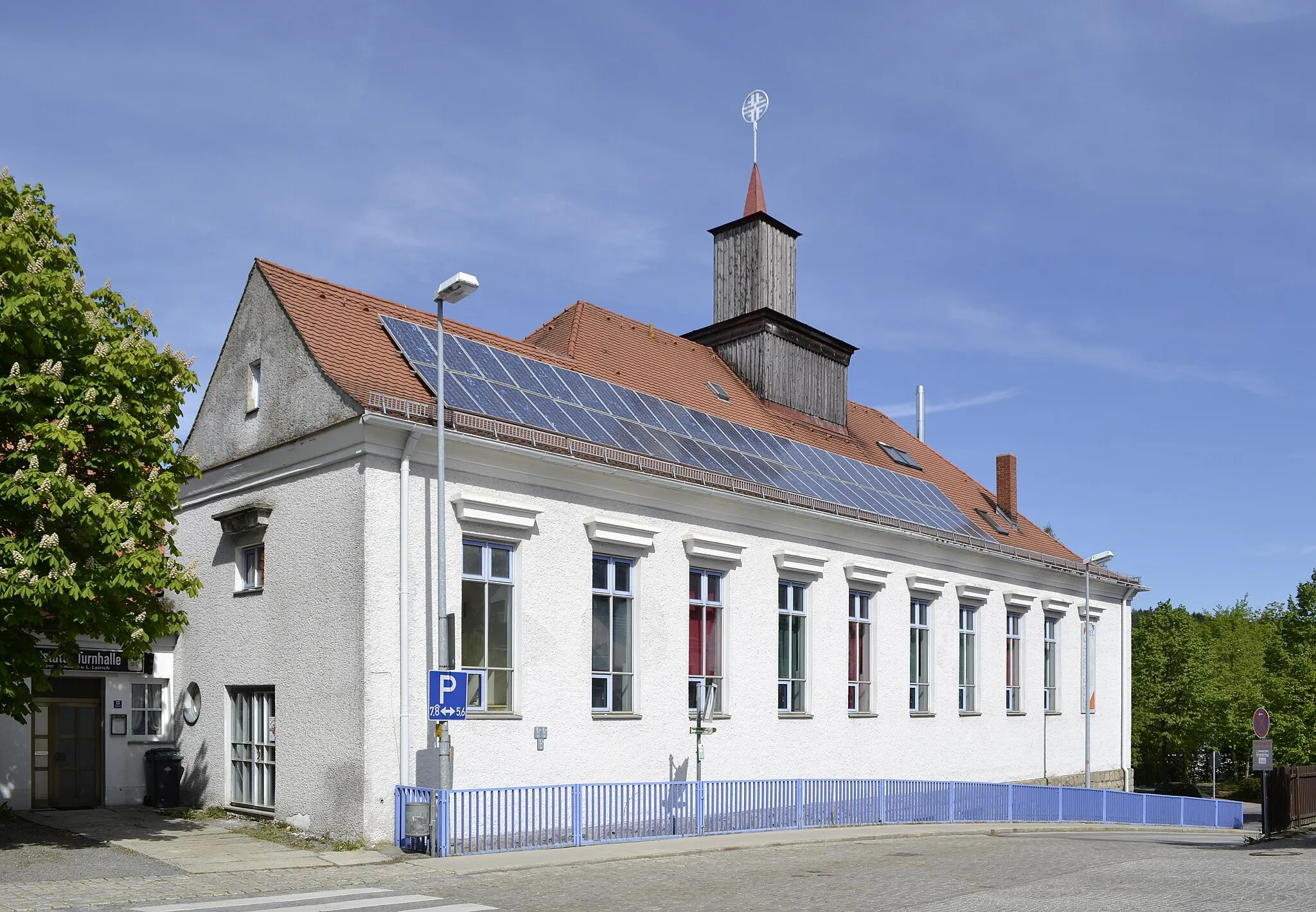
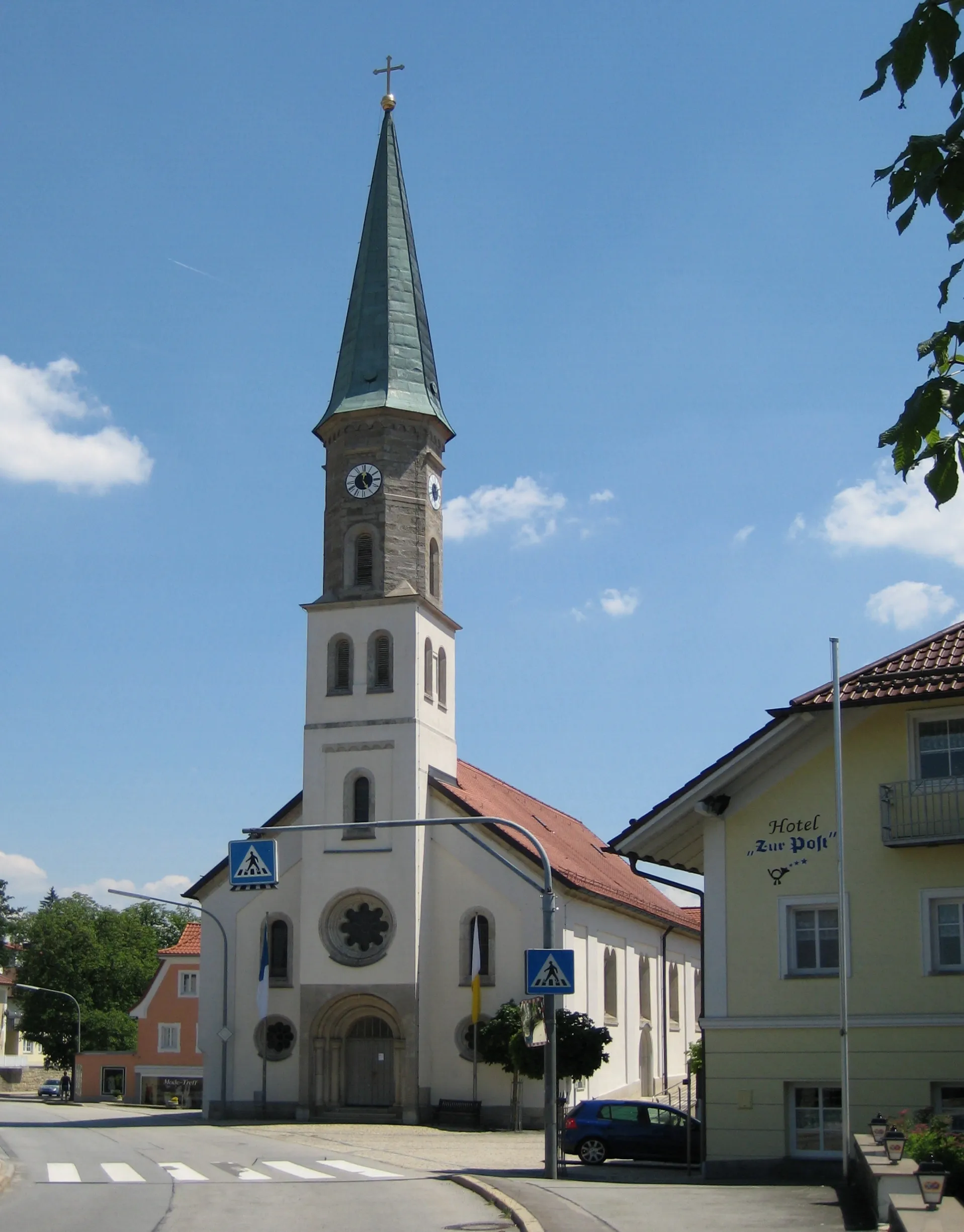
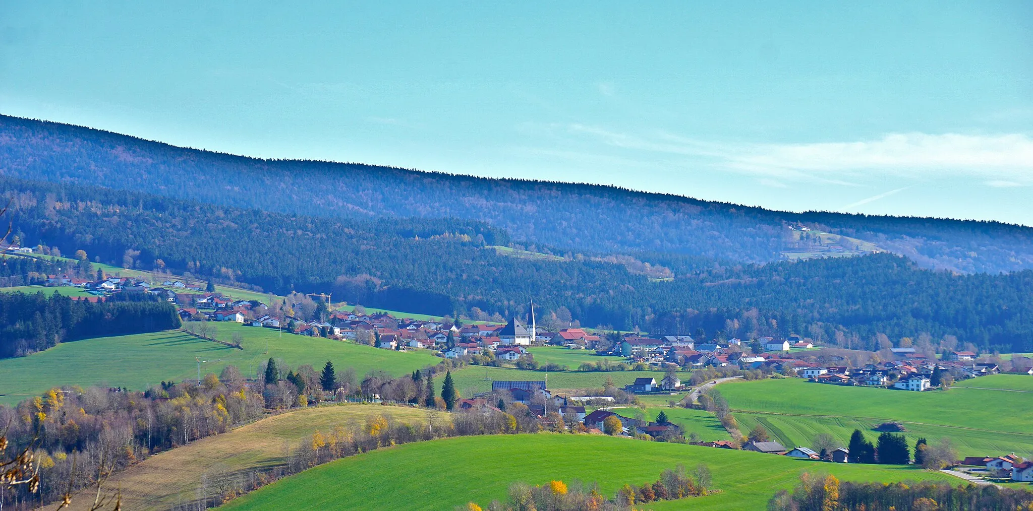
Start: Röhrnbach Village centerRöhrnbach: Explore the stunning Mühlbachklamm Gorge in Röhrnbach, Germany
Röhrnbach is located in Niederbayern, Germany. This locality offers diverse cycling opportunities for road and gravel cyclists. The region features rolling hills and picturesque countryside, making it an enjoyable destination for cyclists of all levels. Cyclists visiting Röhrnbach can explore the famous Mühlbachklamm Gorge, known for its stunning natural beauty. The surrounding area also boasts challenging climbs like Kalteneck Berg and Hundsisau. Röhrnbach is a must-visit for cycling enthusiasts looking for scenic routes and a mix of challenging and leisurely rides.16 km
16 km
Neufanger Berg755 mPeakNeufanger Berg is a notable peak offering panoramic views of the surrounding countryside.
16 km
16 km
HinterebenVillageHintereben is a scenic area with rolling hills and pristine nature.
31 km
31 km
Höpfelberg727 mPeakHöpfelberg is a hill offering stunning views of the Bavarian countryside.
63 km
63 km
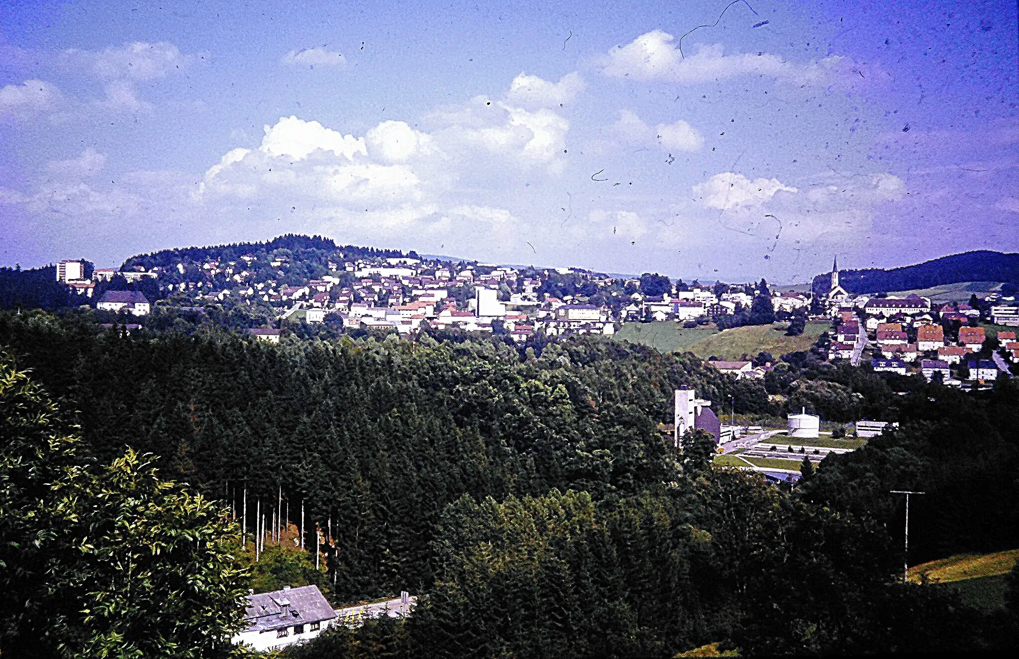
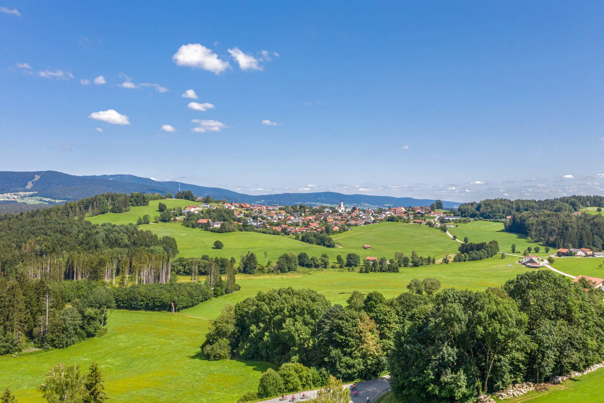
HauzenbergTownHauzenberg is a picturesque town with historic architecture and beautiful views of the Danube River.
67 km
67 km
Steinberg830 mPeakSteinberg is a natural reserve known for its diverse flora and fauna.
79 km
79 km
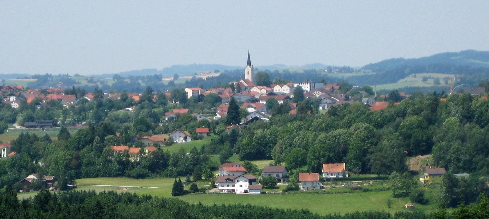
RöhrnbachVillageRöhrnbach is the starting and ending point of the route, offering a charming Bavarian atmosphere and traditional architecture.
79 km
79 km
Finish: Röhrnbach Village centerRöhrnbach: Explore the stunning Mühlbachklamm Gorge in Röhrnbach, Germany
Cycling routes from Roehrnbach:
Röhrnbach - Waldkirchen Adventure Röhrnbach - Eging Loop Röhrnbach - Grafenau Scenic Ride Challenging Road Cycle Loop via Röhrnbach Gravel Route via Röhrnbach Röhrnbach and Beyond Gravel Adventure with Nature and Culture Scenic Gravel Tour including Röhrnbach Thrilling Gravel Circuit via Röhrnbach Röhrnbach - Vilshofen Loop The Bavarian Circuit
Cycling routes nearby: