The Gravel Adventure
A gravel cycling route starting from Rattelsdorf
Experience challenging gravel roads and stunning views along this 37 km route
Map
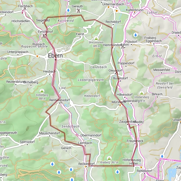
This route is perfect for gravel enthusiasts, offering a mix of challenging terrain and breathtaking views. You'll ride through the Sauberg region, known for its picturesque landscapes and rural charm. With a moderate ascent of 447 meters, this route is suitable for well-trained amateur cyclists. Embark on this gravel adventure and explore hidden gems like Rentweinsdorf, Ruine Rotenhan, and Mürsbach. Don't miss the Panoramablick viewpoint, where you can take in panoramic vistas of the surrounding countryside. Enjoy the scenic Itzgrund-Blick before heading back to Rattelsdorf.
gravel
37 km
447 m
Tough
Route profile
Highlights on the route
0 km
0 km
Start: Höfen Village centerRattelsdorf: Hilly terrains and access to famous climbs
Rattelsdorf, situated in Oberfranken, Germany, is a cyclist-friendly locality with a range of routes to explore. The region features both flat sections ideal for leisurely rides and more challenging hilly terrains. Famous climbs, such as Hohnberg and Zückersabber, are within reach from Rattelsdorf and attract avid cyclists. With picturesque countryside and well-maintained roads, this locality is a great base for road and gravel cyclists.6 km
6 km
Sauberg320 mPeakSauberg offers picturesque landscapes and rural charm.
11 km
11 km
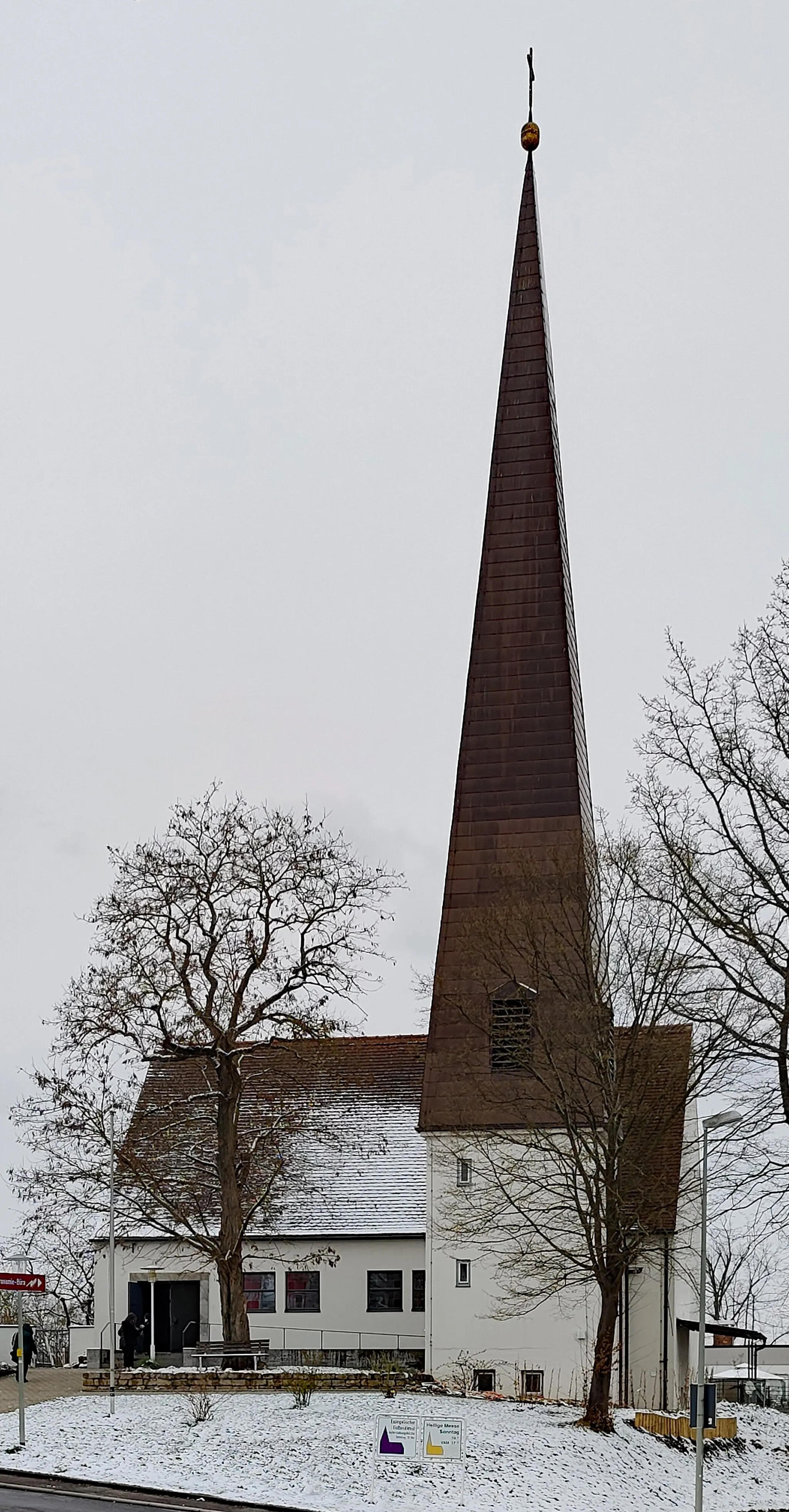
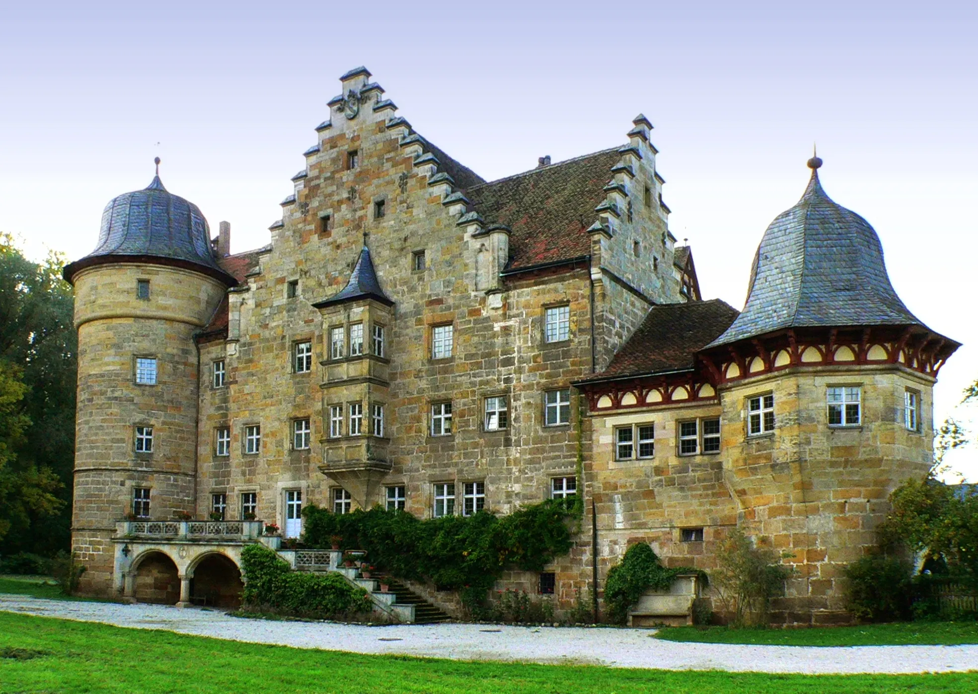
RentweinsdorfVillageDiscover the historic town of Rentweinsdorf.
17 km
17 km
Ruine RotenhanCastleRuine Rotenhan, an ancient castle ruins with a fascinating history.
20 km
20 km
PanoramablickViewpointPanoramablick offers stunning panoramic views.
31 km
31 km
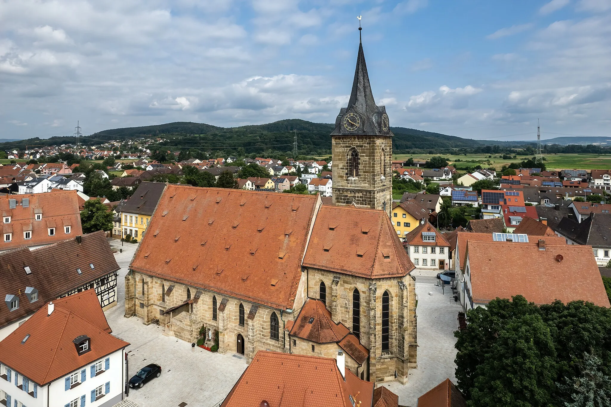
MürsbachVillageExplore the charming village of Mürsbach.
32 km
32 km
Itzgrund-BlickViewpointEnjoy the scenic views of Itzgrund-Blick.
37 km
37 km
Finish: Höfen Village centerRattelsdorf: Hilly terrains and access to famous climbs
Cycling routes nearby: