Rattelsdorf Loop
A road cycling route starting from Rattelsdorf
Cycle through the picturesque landscapes near Rattelsdorf
Map
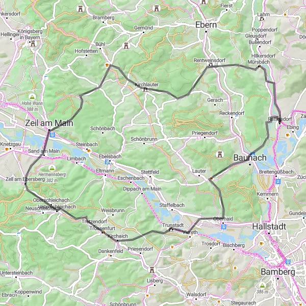
This cycling route starts and ends in Rattelsdorf, offering a variety of beautiful landscapes and charming villages along the way. With a distance of 75 kilometers and an ascent of 844 meters, it provides a balanced challenge for road cyclists. The route passes through Zentberg, Unterschleichach, Hohe Lohe, Mausberg, Kirchlauter, Itzgrund-Blick, and Mürsbach, each offering unique highlights and picturesque views. Overall, this route showcases the beauty of the Oberfranken region and its charming countryside.
road
75 km
844 m
Tough
Route profile
Highlights on the route
0 km
0 km
Start: Rattelsdorf Village centerRattelsdorf: Hilly terrains and access to famous climbs
Rattelsdorf, situated in Oberfranken, Germany, is a cyclist-friendly locality with a range of routes to explore. The region features both flat sections ideal for leisurely rides and more challenging hilly terrains. Famous climbs, such as Hohnberg and Zückersabber, are within reach from Rattelsdorf and attract avid cyclists. With picturesque countryside and well-maintained roads, this locality is a great base for road and gravel cyclists.0 km
0 km
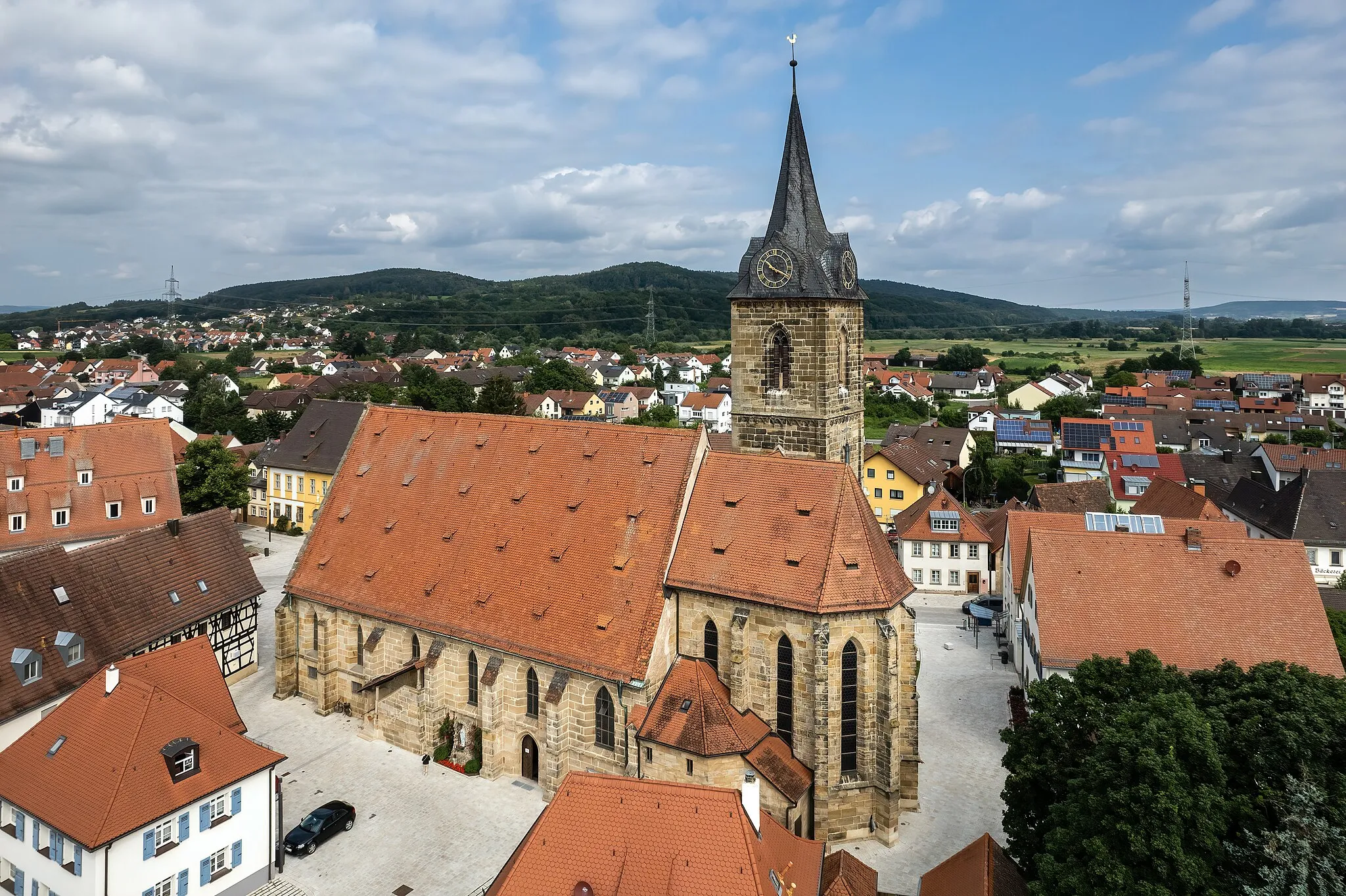
RattelsdorfVillageMarvel at the quaint village of Rattelsdorf, the starting point for this cycling adventure.
12 km
12 km
Zentberg324 mPeakZentberg offers stunning views of the surrounding countryside and is worth a stop on your journey.
32 km
32 km
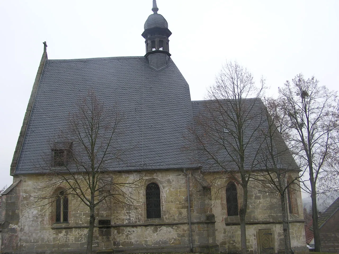
UnterschleichachVillageUnterschleichach is a charming village with traditional Franconian architecture.
36 km
36 km
Hohe LoheViewpointEnjoy panoramic views from the summit of Hohe Lohe, a great spot to take a break and admire the scenery.
48 km
48 km
Mausberg378 mPeakMausberg is a quaint hilltop village with charming houses and lovely views.
56 km
56 km
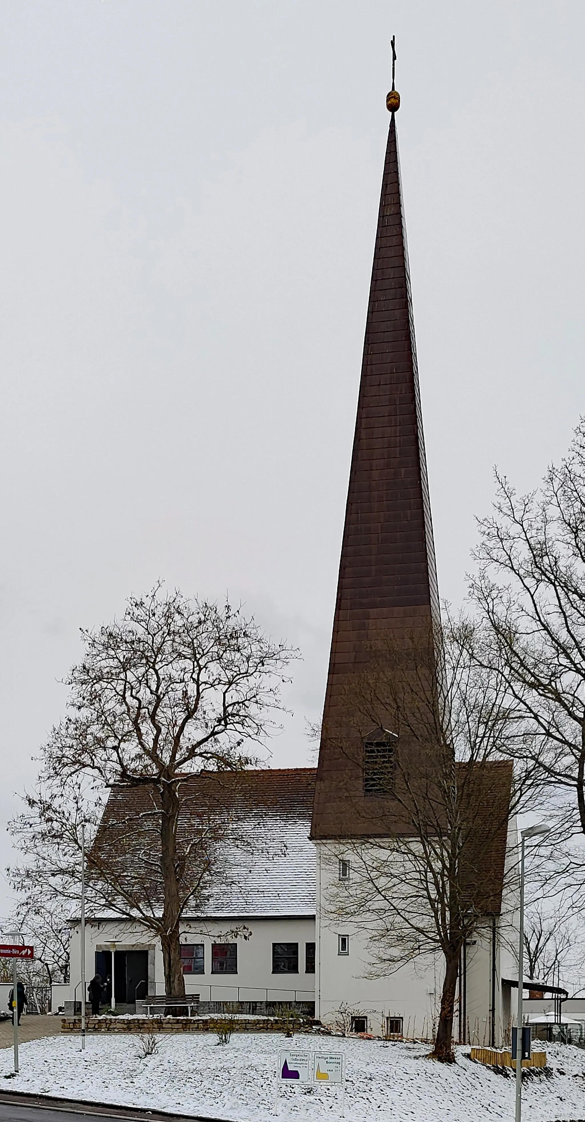
KirchlauterVillageVisit Kirchlauter and explore its interesting church and historic buildings.
68 km
68 km
Itzgrund-BlickViewpointItzgrund-Blick offers breathtaking views of the Itz river valley.
69 km
69 km
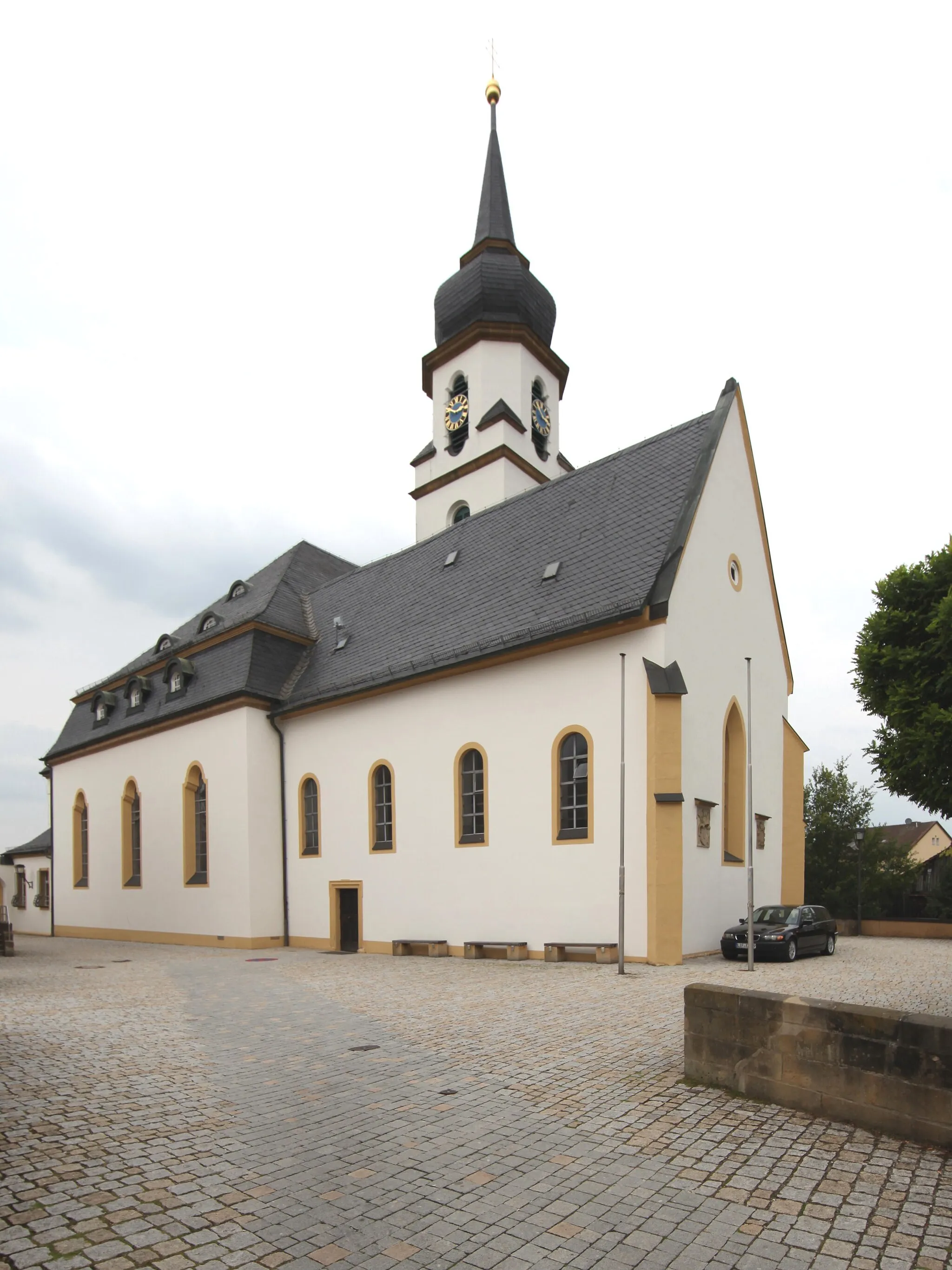
MürsbachVillageMürsbach is a small village known for its tranquil surroundings and beautiful landscapes.
75 km
75 km
Finish: Rattelsdorf Village centerRattelsdorf: Hilly terrains and access to famous climbs
Cycling routes nearby: