Hidden Gems of Rattelsdorf
A gravel cycling route starting from Rattelsdorf
Explore the hidden gems of Rattelsdorf on this 69 km gravel route
Map

Uncover the lesser-known treasures of Rattelsdorf on this 69 km gravel route. With a challenging ascent of 941 meters, this route is suitable for experienced cyclists who crave adventure. Start your journey from Rattelsdorf and head towards Ansberg, where you'll be rewarded with panoramic views of the surrounding countryside. Visit Kemitzenstein, a historic fortress offering unparalleled vistas. As you ride through Wattendorf and Heideknock, take a moment to appreciate the beauty of nature. Don't miss the charming villages of Stadelhofen and Reisberg, known for their idyllic settings. Continue your journey through Schweisdorf before reaching your final destination in Zapfendorf.
gravel
69 km
941 m
Tough
Route profile
Highlights on the route
0 km
0 km
Start: Rattelsdorf Village centerRattelsdorf: Hilly terrains and access to famous climbs
Rattelsdorf, situated in Oberfranken, Germany, is a cyclist-friendly locality with a range of routes to explore. The region features both flat sections ideal for leisurely rides and more challenging hilly terrains. Famous climbs, such as Hohnberg and Zückersabber, are within reach from Rattelsdorf and attract avid cyclists. With picturesque countryside and well-maintained roads, this locality is a great base for road and gravel cyclists.0 km
0 km
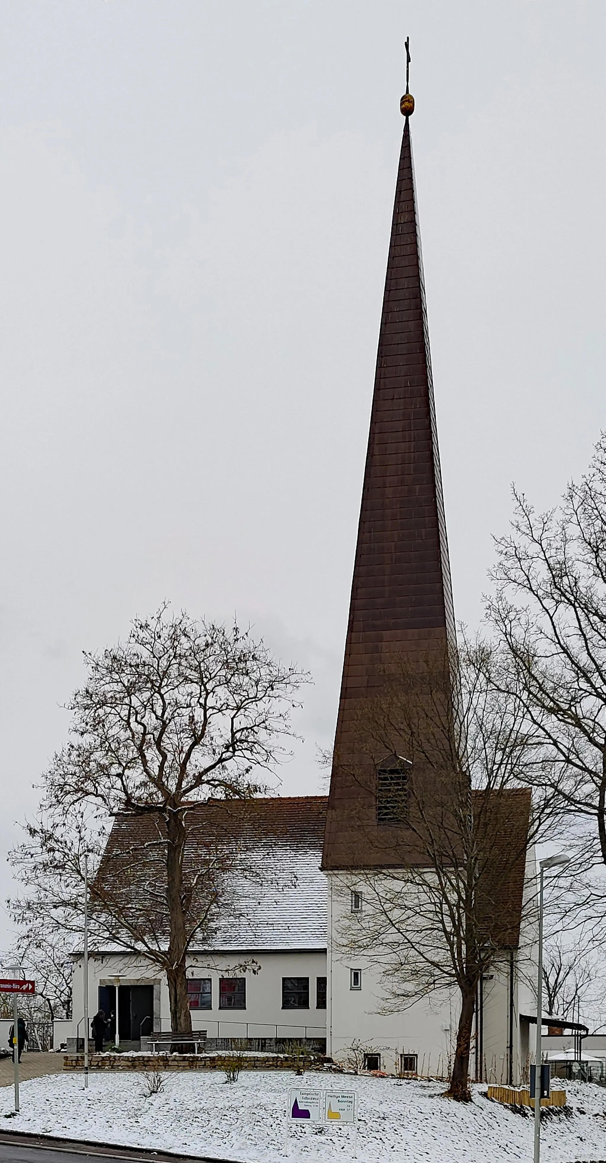
RattelsdorfVillageStart your adventure from the beautiful town of Rattelsdorf.
13 km
13 km
Ansberg460 mPeakEnjoy panoramic views from Ansberg.
23 km
23 km
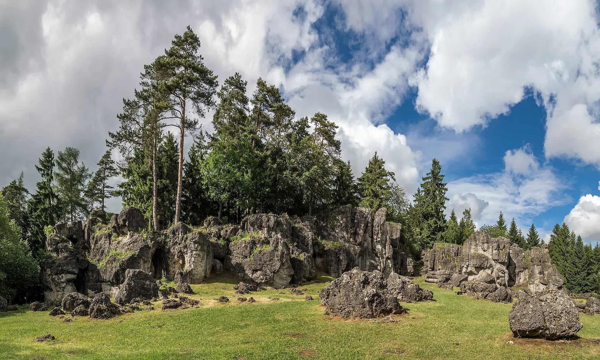
Kemitzenstein581 mPeakVisit the historic fortress of Kemitzenstein.
25 km
25 km
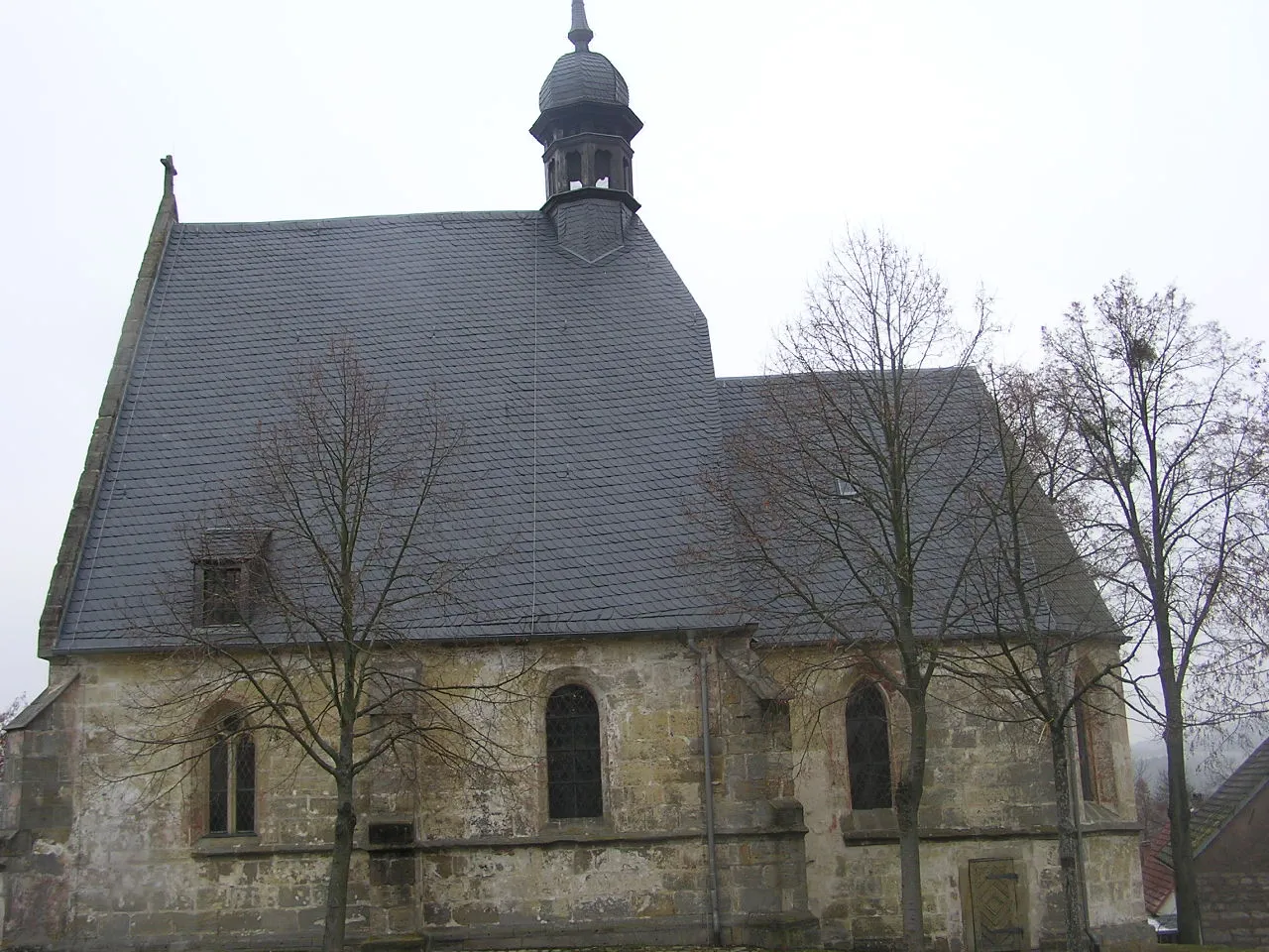
WattendorfVillageTake in the natural beauty of Wattendorf.
30 km
30 km
Heideknock465 mPeakExplore the picturesque village of Heideknock.
40 km
40 km
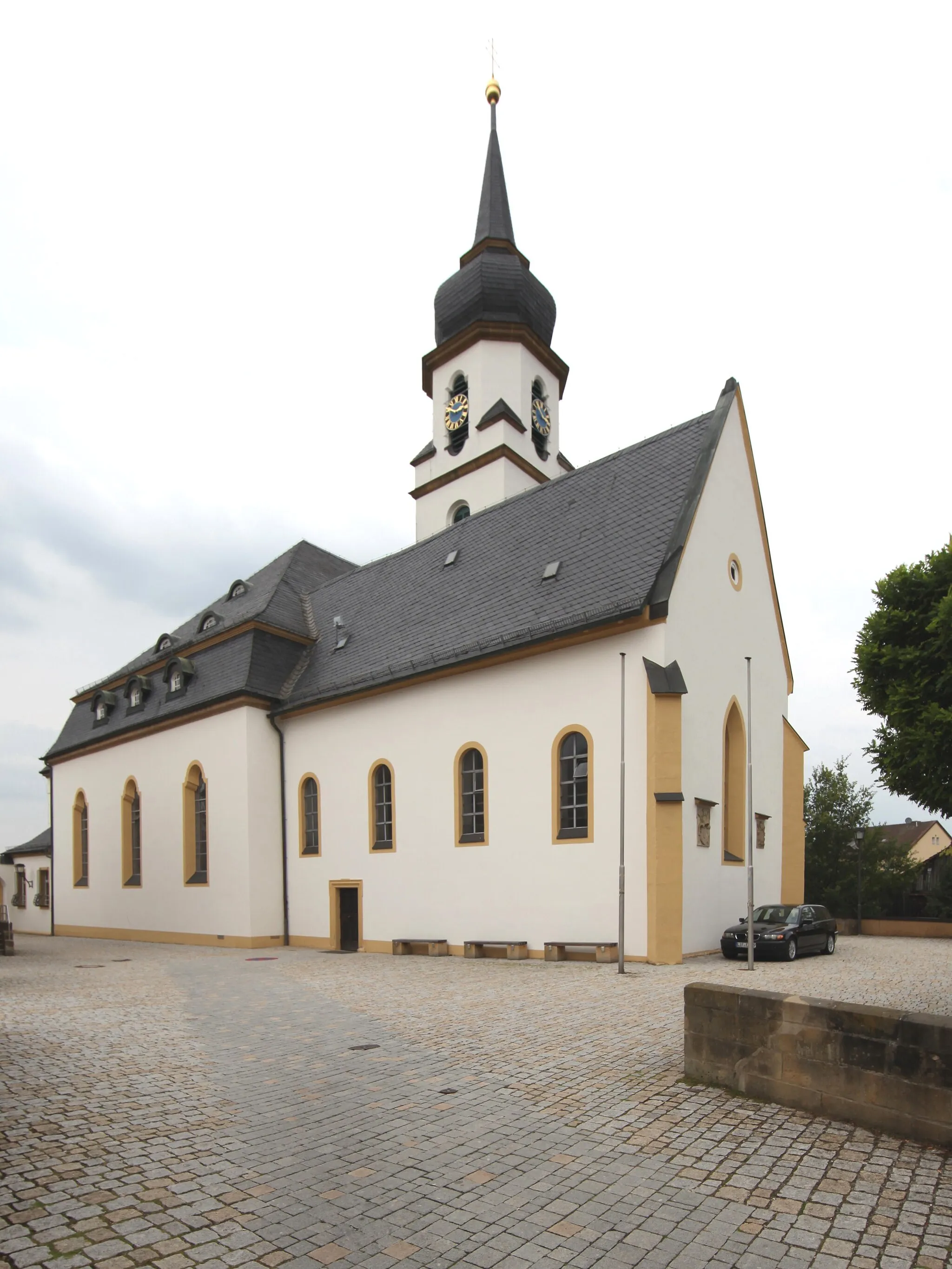
StadelhofenVillageExperience the idyllic charm of Stadelhofen.
50 km
50 km
Reisberg554 mPeakDiscover the peaceful village of Reisberg.
56 km
56 km
SchweisdorfVillageRide through the scenic Schweisdorf.
63 km
63 km
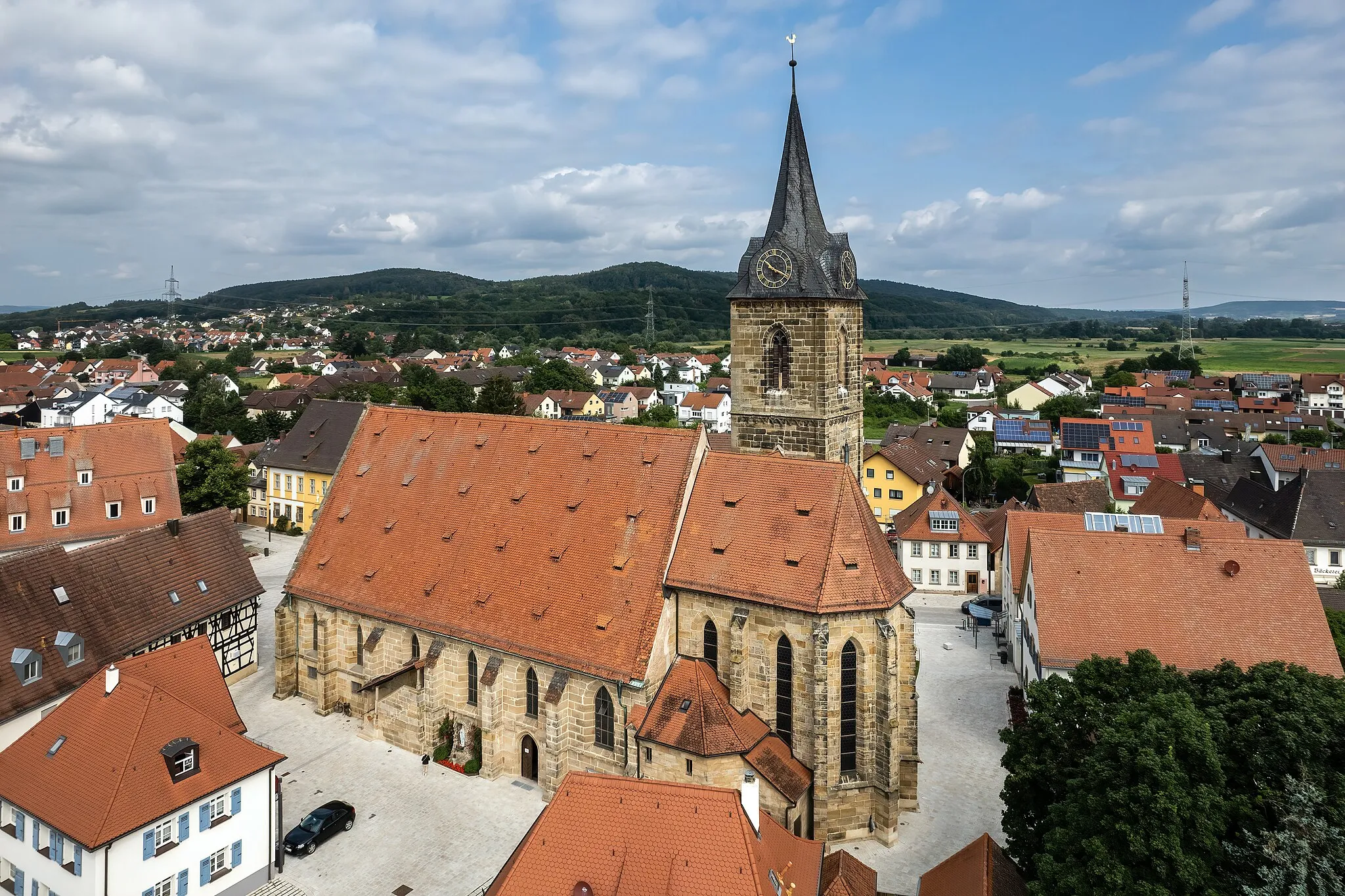
ZapfendorfVillageArrive at your final destination in Zapfendorf.
69 km
69 km
Finish: Rattelsdorf Village centerRattelsdorf: Hilly terrains and access to famous climbs
Cycling routes nearby: