Road Cycling Splendor
A road cycling route starting from Rattelsdorf
Embark on the ultimate road cycling adventure along this 111 km route
Map
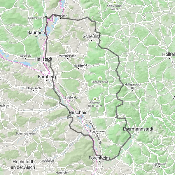
Prepare yourself for an epic road cycling adventure spanning 111 km. With a challenging ascent of 1347 meters, this route is reserved for experienced cyclists seeking a thrilling challenge. Start your journey from Rattelsdorf and traverse the scenic landscapes towards Hohe Metze, known for its panoramic views. Reach new heights when you conquer Giechburg and Kreuzstein, iconic landmarks of the region. Cycle through picturesque villages like Lindesberg and Weilersbach, soaked in history and charm. As you approach Forchheim, take a moment to marvel at its architectural splendor. Conclude your ride at Pettstadt, where the stunning Regnitzgrund-Blick awaits.
road
111 km
1347 m
Savage
Route profile
Highlights on the route
0 km
0 km
Start: Höfen Village centerRattelsdorf: Hilly terrains and access to famous climbs
Rattelsdorf, situated in Oberfranken, Germany, is a cyclist-friendly locality with a range of routes to explore. The region features both flat sections ideal for leisurely rides and more challenging hilly terrains. Famous climbs, such as Hohnberg and Zückersabber, are within reach from Rattelsdorf and attract avid cyclists. With picturesque countryside and well-maintained roads, this locality is a great base for road and gravel cyclists.1 km
1 km
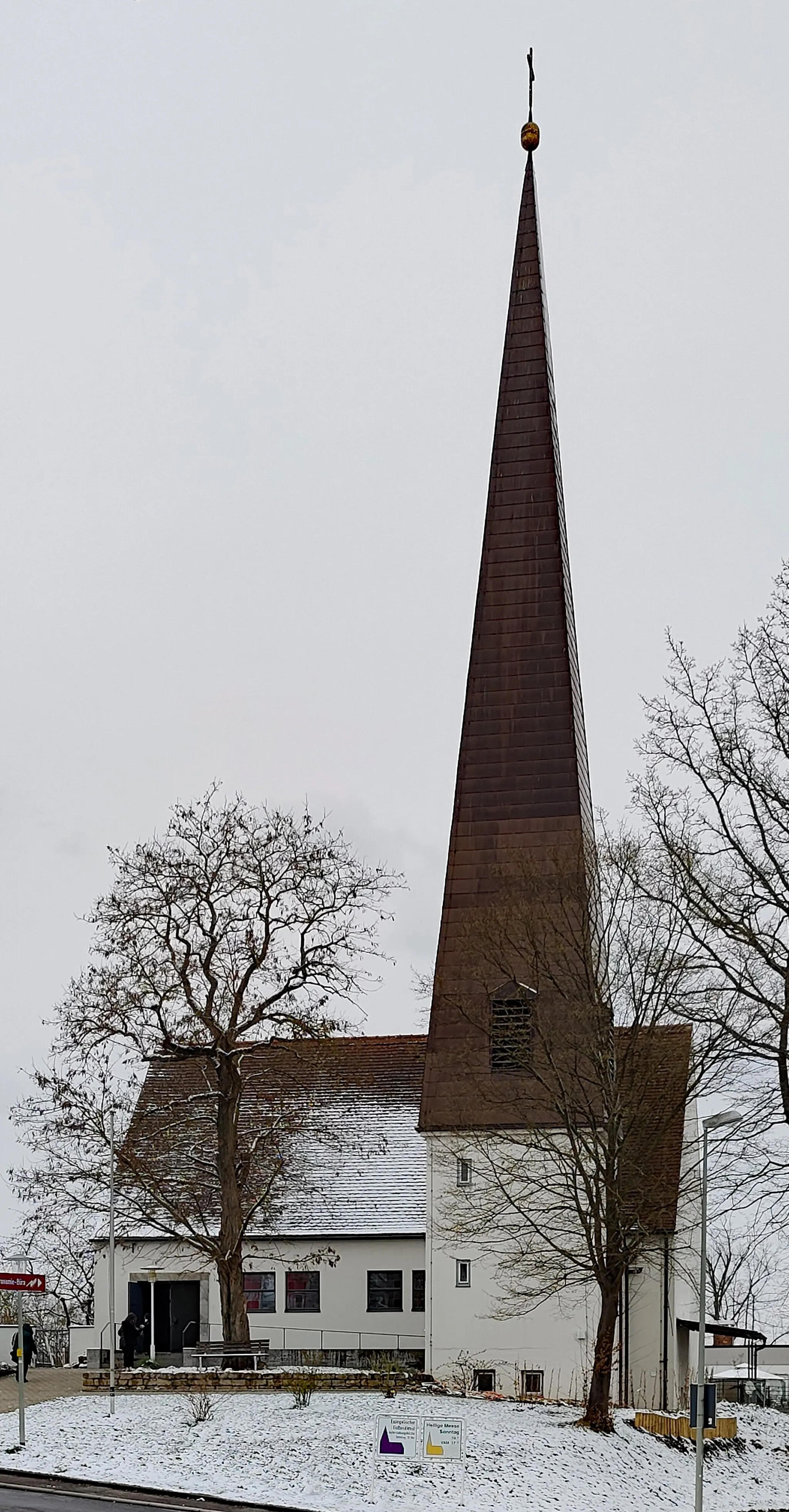
RattelsdorfVillageStart your journey from the charming town of Rattelsdorf.
13 km
13 km
Hohe MetzeViewpointExperience the breathtaking views from Hohe Metze.
21 km
21 km
GiechburgCastleDiscover the historic Giechburg fortress.
34 km
34 km
KreuzsteinViewpointConquer the challenging Kreuzstein hill.
50 km
50 km
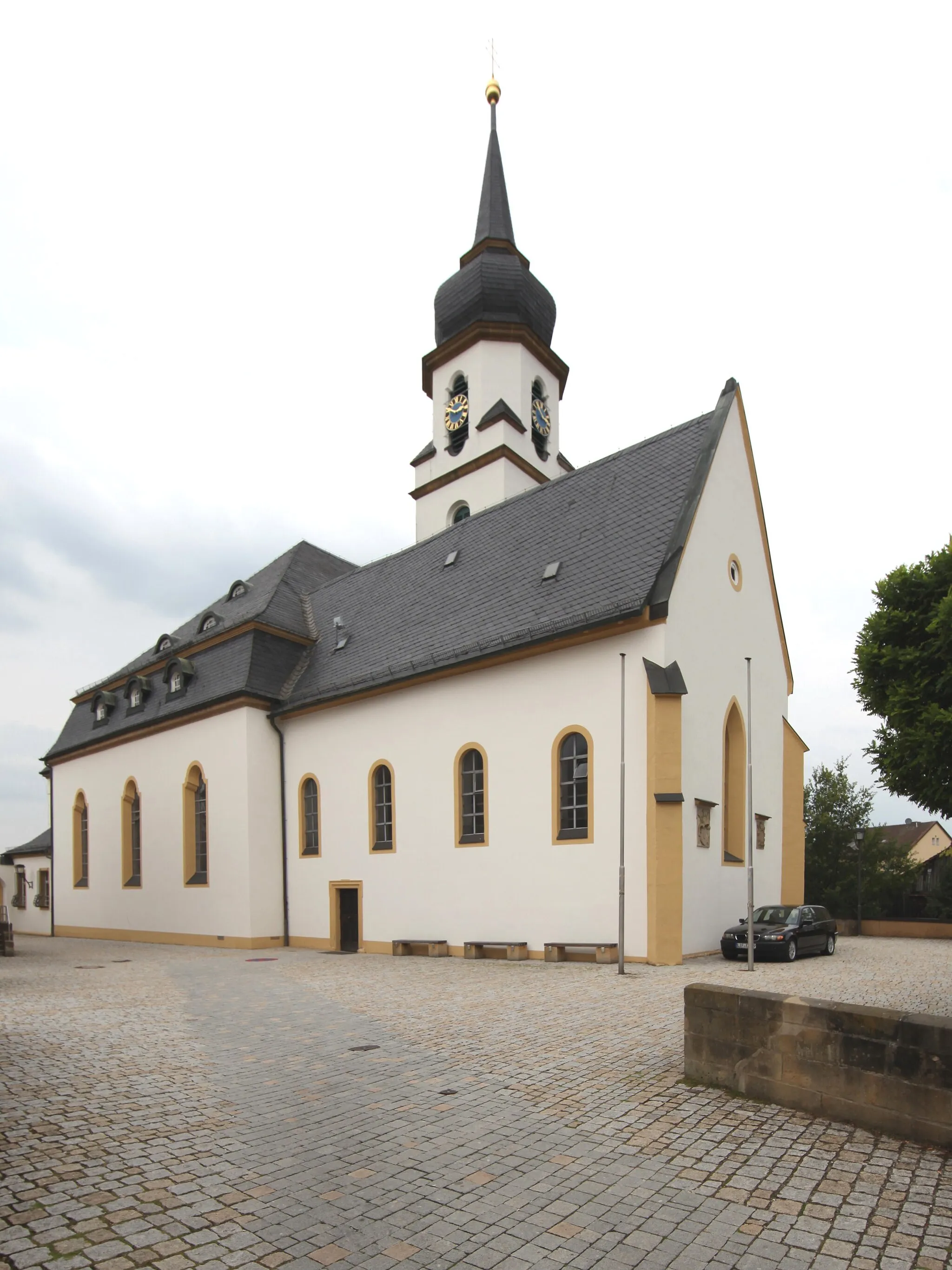
Lindesberg506 mPeakImmerse yourself in the charm of Lindesberg.
57 km
57 km
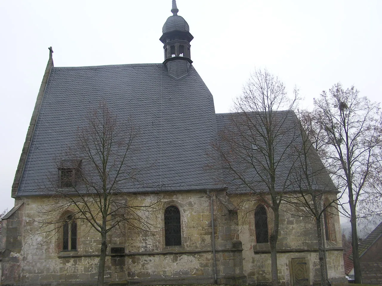
WeilersbachVillageExplore the historical beauty of Weilersbach.
64 km
64 km
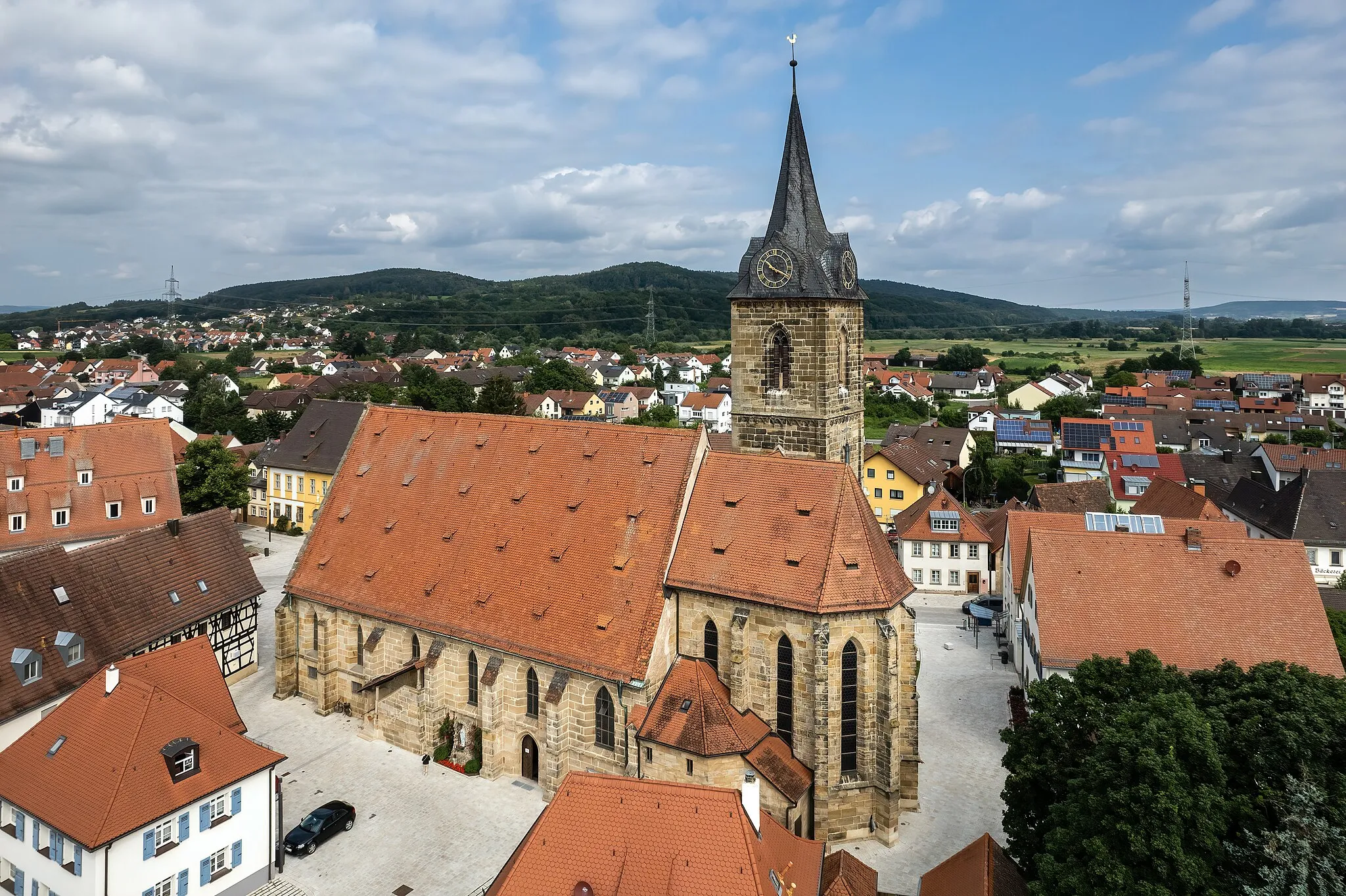
ForchheimTownAdmire the stunning architecture of Forchheim.
86 km
86 km
PettstadtVillageDon't miss the magnificent views from Pettstadt.
86 km
86 km
Regnitzgrund-BlickViewpointTake in the scenic beauty of Regnitzgrund-Blick.
105 km
105 km
BreitengüßbachVillageCaptivating views await you at Breitengüßbach.
111 km
111 km
Finish: Höfen Village centerRattelsdorf: Hilly terrains and access to famous climbs
Cycling routes nearby: