Gravel Adventure around Rattelsdorf
A gravel cycling route starting from Rattelsdorf
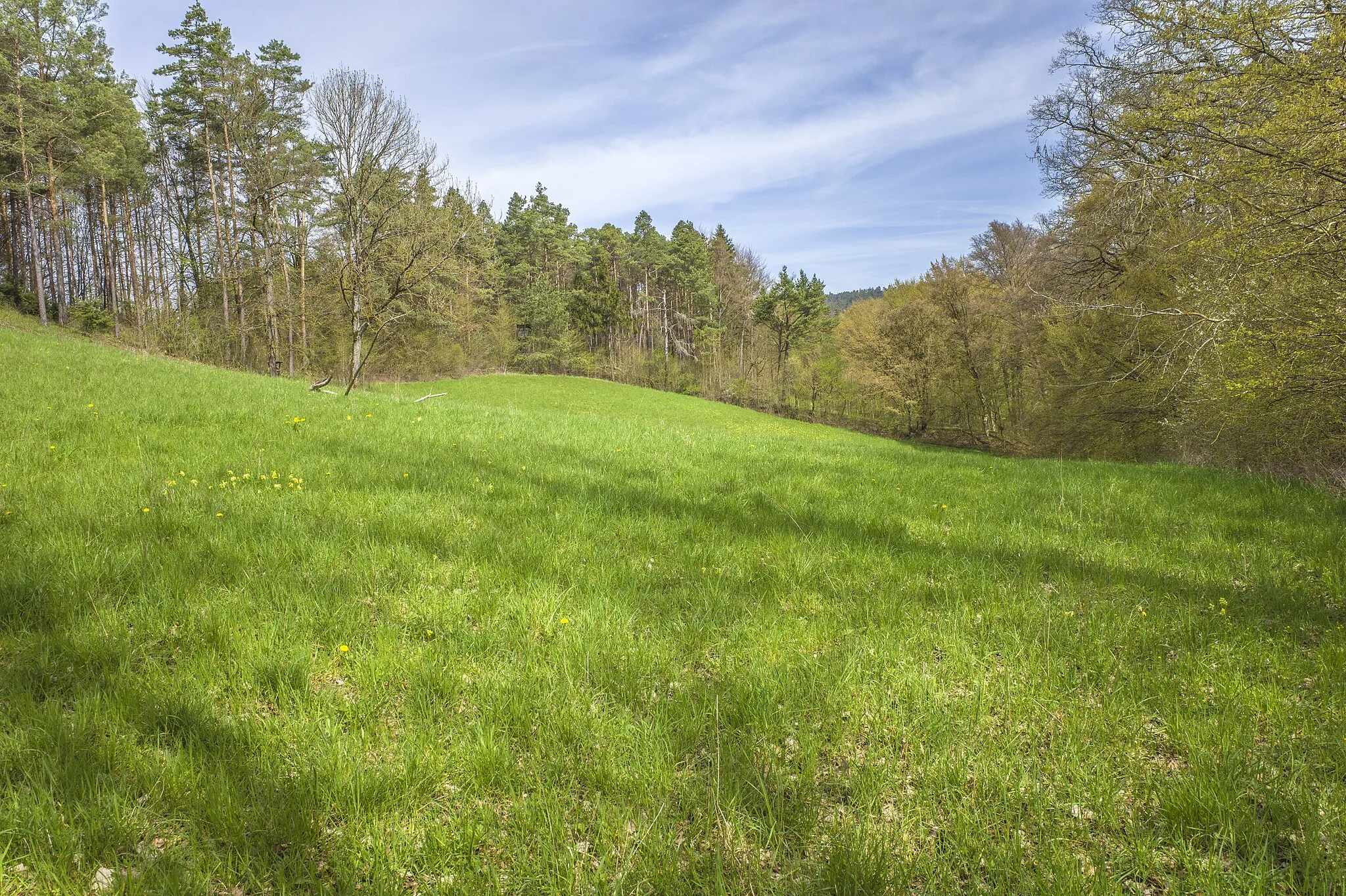
Experience the thrill of off-road cycling with this adventurous gravel route near Rattelsdorf.
Map

For those seeking a gravel adventure, this 51-kilometer route offers rugged terrains and breathtaking natural landscapes. With an ascent of 839 meters, it offers a satisfying challenge for gravel enthusiasts. Highlights along the way include Reckendorf, Sauberg, Herbelsdorf, Simonsberg, Untermerzbach, and Itzgrund-Blick, each offering unique natural beauty and opportunities for exploration. This route allows riders to connect with nature and experience the tranquility of the Franconian countryside.
gravel
51 km
839 m
Tough
Route profile
Highlights on the route
0 km
0 km
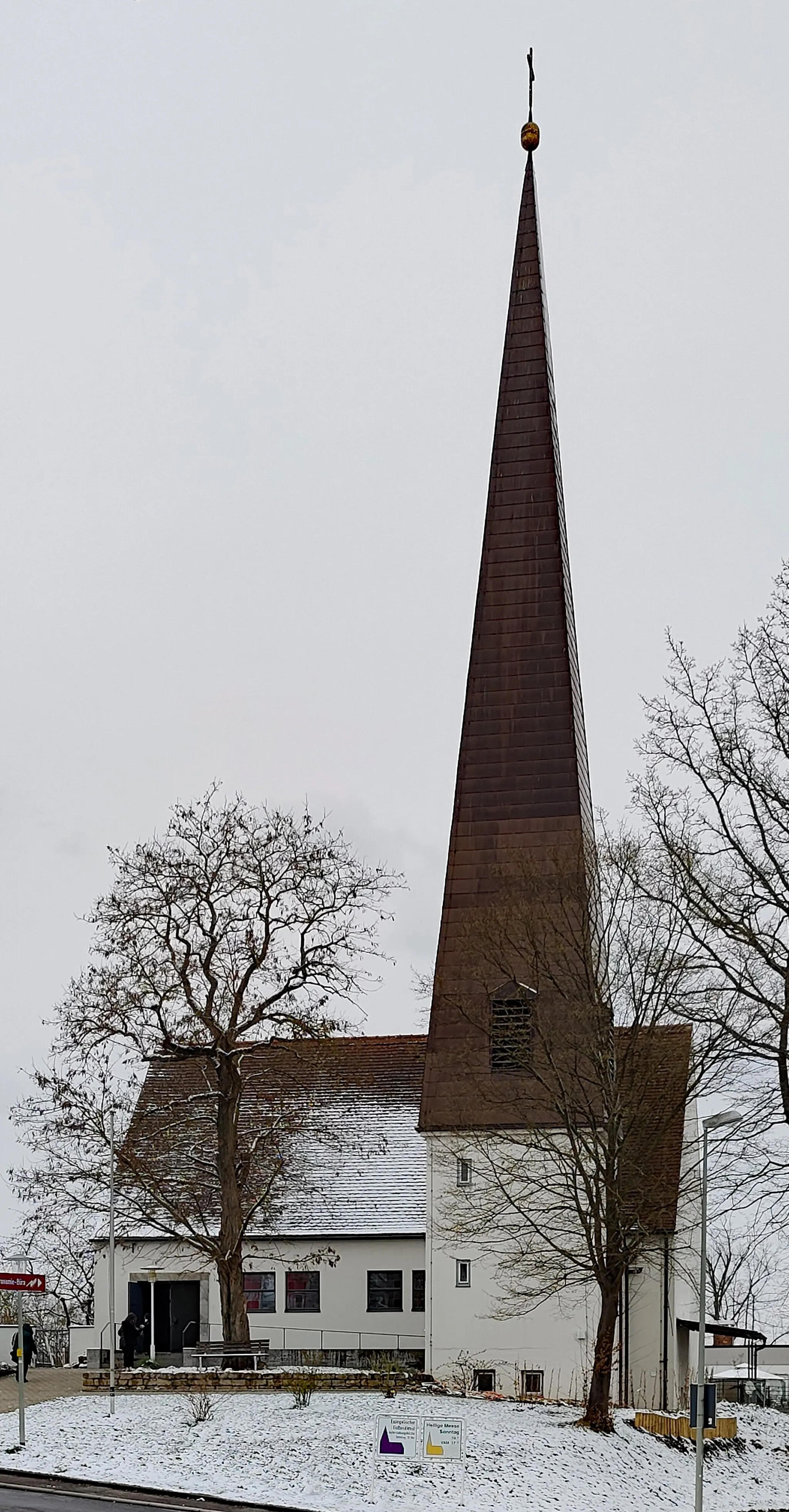
Start: Daschendorf Village centerRattelsdorf: Hilly terrains and access to famous climbs
Rattelsdorf, situated in Oberfranken, Germany, is a cyclist-friendly locality with a range of routes to explore. The region features both flat sections ideal for leisurely rides and more challenging hilly terrains. Famous climbs, such as Hohnberg and Zückersabber, are within reach from Rattelsdorf and attract avid cyclists. With picturesque countryside and well-maintained roads, this locality is a great base for road and gravel cyclists.4 km
4 km
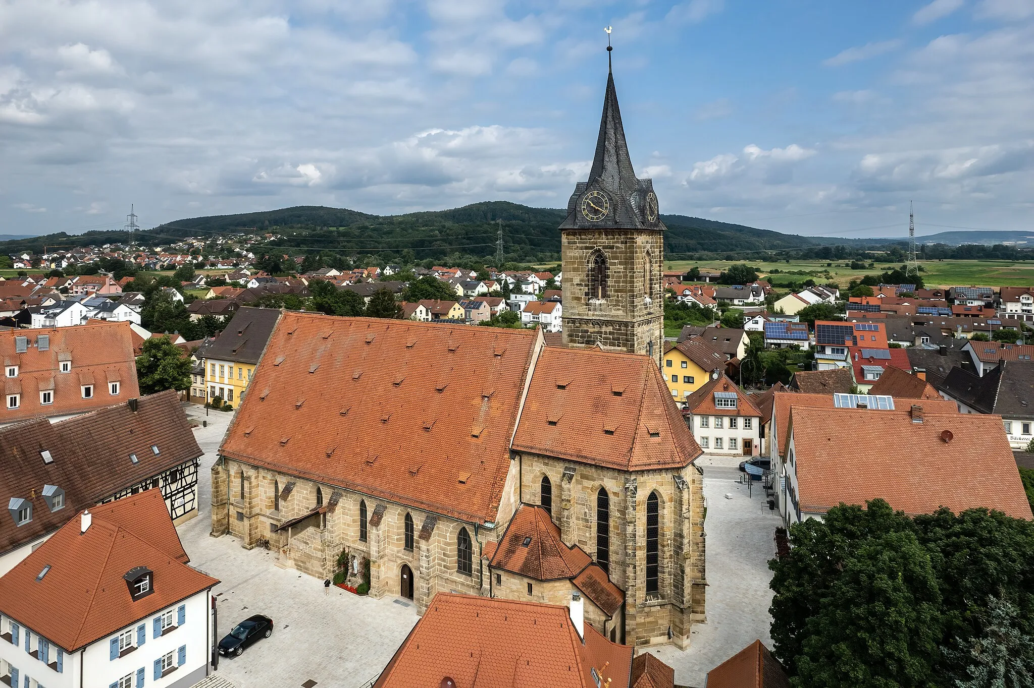
ReckendorfVillageReckendorf is known for its charming timber-framed houses and traditional Franconian architecture.
7 km
7 km
Sauberg320 mPeakSauberg offers stunning views of the surrounding valleys and makes for a great photo spot.
23 km
23 km
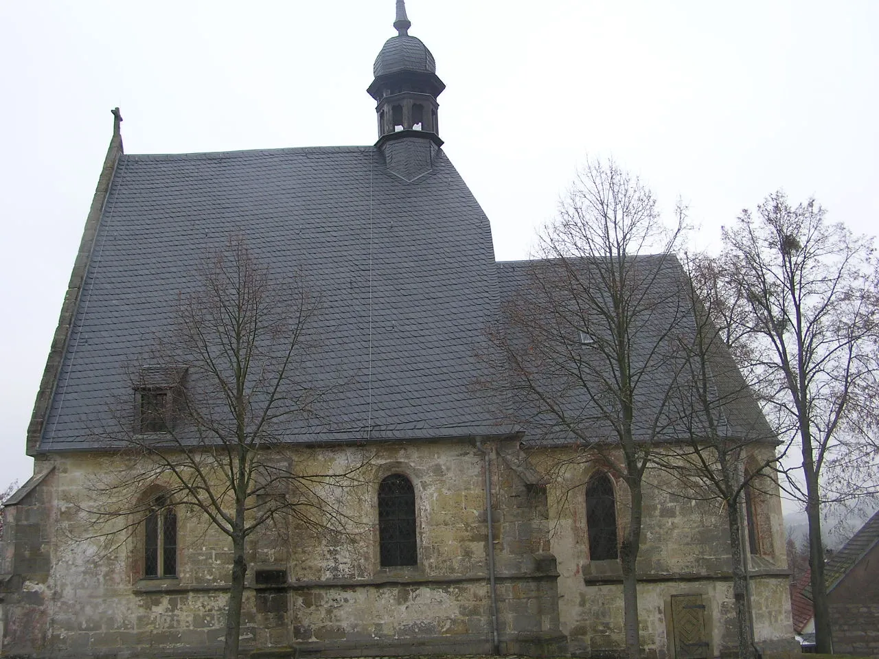
HerbelsdorfHamletExperience the peaceful ambiance of Herbelsdorf and discover its hidden natural gems.
25 km
25 km
Simonsberg377 mPeakSimonsberg is a scenic hill with expansive views over the Franconian countryside.
34 km
34 km
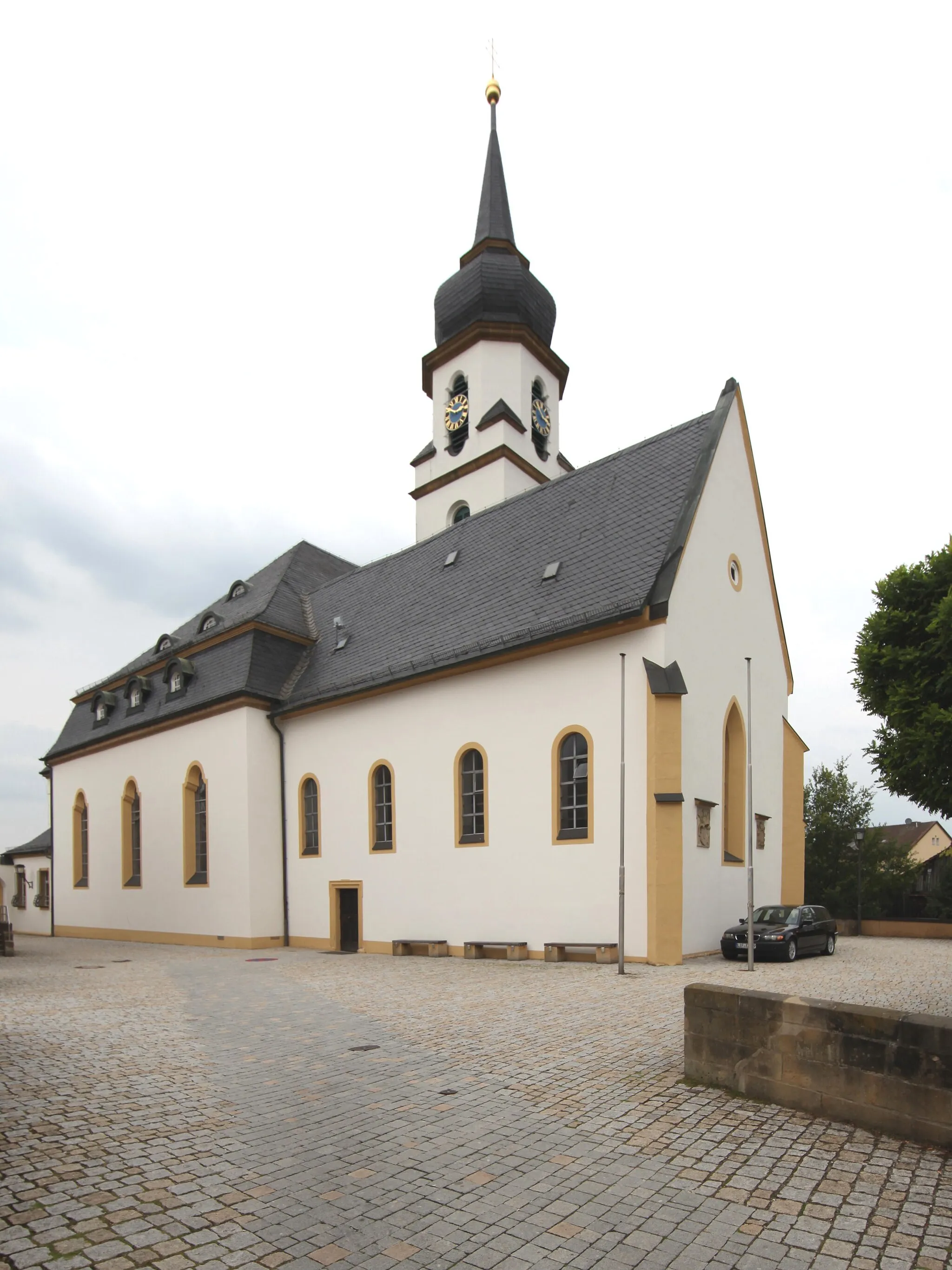
UntermerzbachVillageUntermerzbach is a picturesque village surrounded by green meadows and idyllic landscapes.
43 km
43 km
Itzgrund-BlickViewpointItzgrund-Blick offers breathtaking views of the Itz river valley and its charming landscapes.
51 km
51 km
Finish: Daschendorf Village centerRattelsdorf: Hilly terrains and access to famous climbs
Cycling routes nearby: