Wander through Oberfranken
A road cycling route starting from Rattelsdorf
Discover the diverse landscapes of Oberfranken on this scenic cycling route.
Map
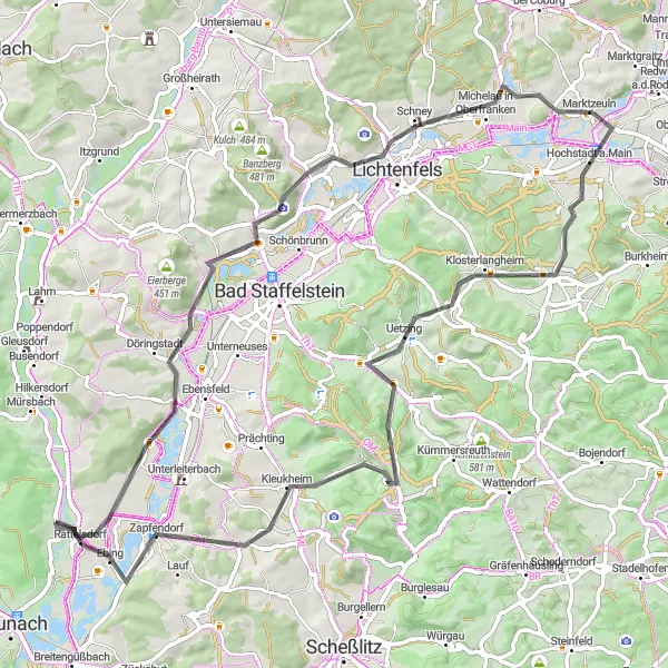
Starting in Rattelsdorf, this road cycling route takes you on a journey through the stunning landscapes of Oberfranken. Covering a distance of 75 kilometers and with an ascent of 928 meters, this route offers a good challenge for experienced road cyclists. Along the way, you'll pass through Wiesen, Trimeusel, Bismarckturm Lichtenfels, Lichtenfels, Hochstadt a.Main, Klosterlangheim, Metzenberg, and Zapfendorf. Each of these highlights provides their own unique charm and attraction.
road
75 km
928 m
Tough
Route profile
Highlights on the route
0 km
0 km
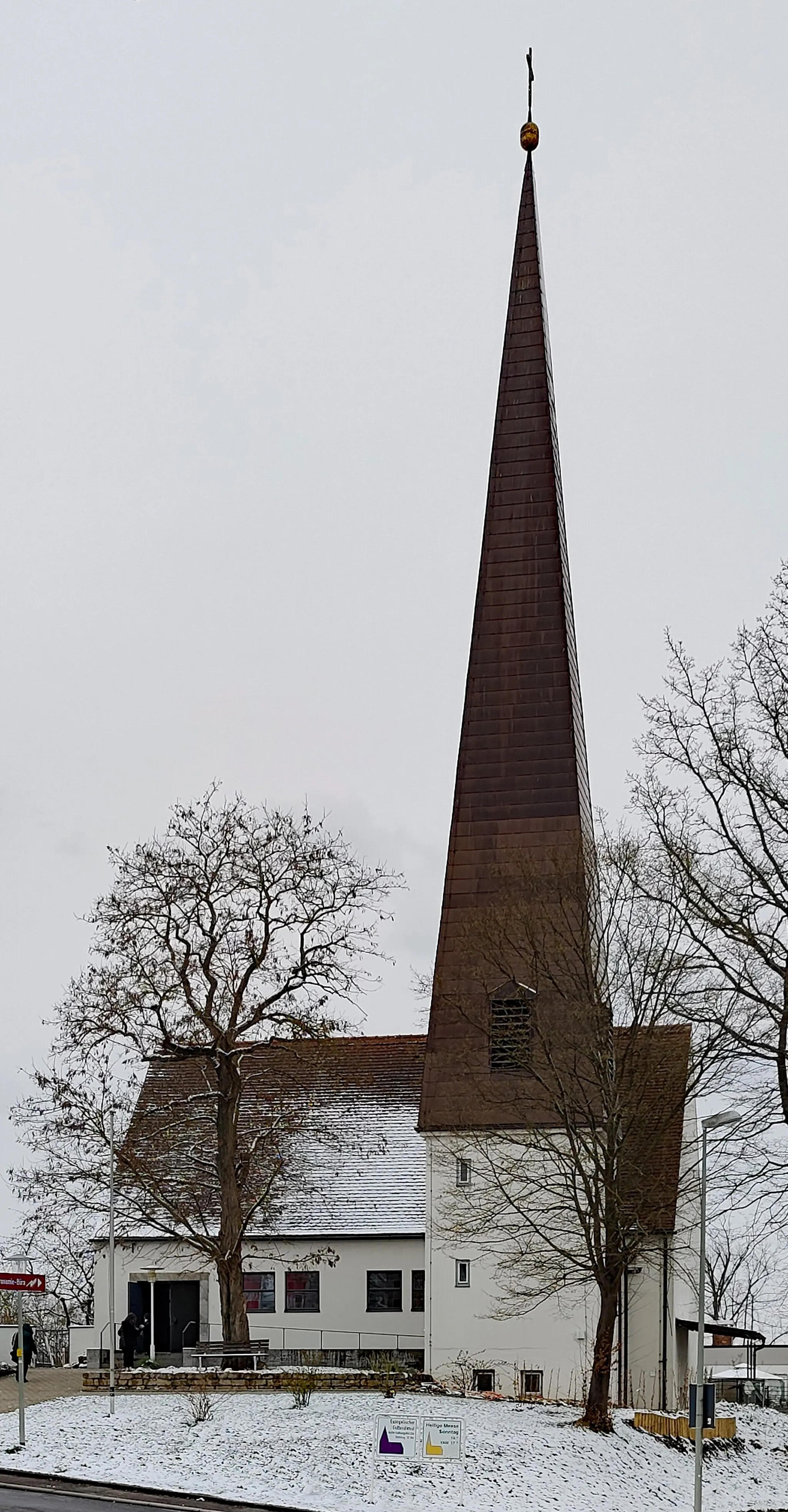
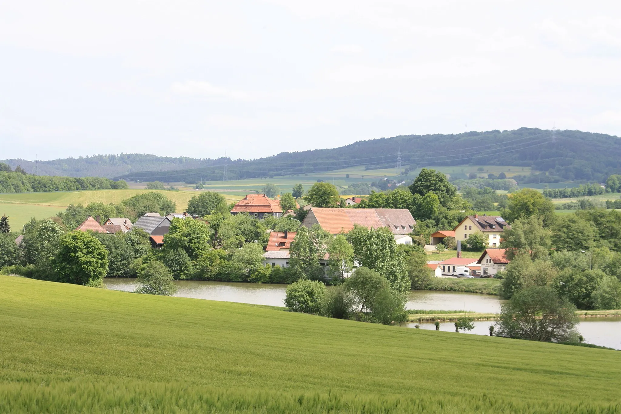
Start: Höfenneusig Village centerRattelsdorf: Hilly terrains and access to famous climbs
Rattelsdorf, situated in Oberfranken, Germany, is a cyclist-friendly locality with a range of routes to explore. The region features both flat sections ideal for leisurely rides and more challenging hilly terrains. Famous climbs, such as Hohnberg and Zückersabber, are within reach from Rattelsdorf and attract avid cyclists. With picturesque countryside and well-maintained roads, this locality is a great base for road and gravel cyclists.12 km
12 km
WiesenVillageIn Wiesen, take a moment to enjoy the peaceful atmosphere and the surrounding green meadows.
14 km
14 km
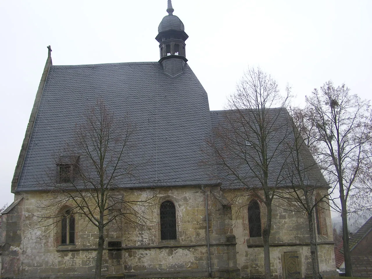
TrimeuselViewpointTrimeusel is a picturesque village with historic buildings and a tranquil ambiance.
23 km
23 km
Bismarckturm LichtenfelsViewpointThe Bismarckturm in Lichtenfels offers a stunning panoramic view of the region.
24 km
24 km
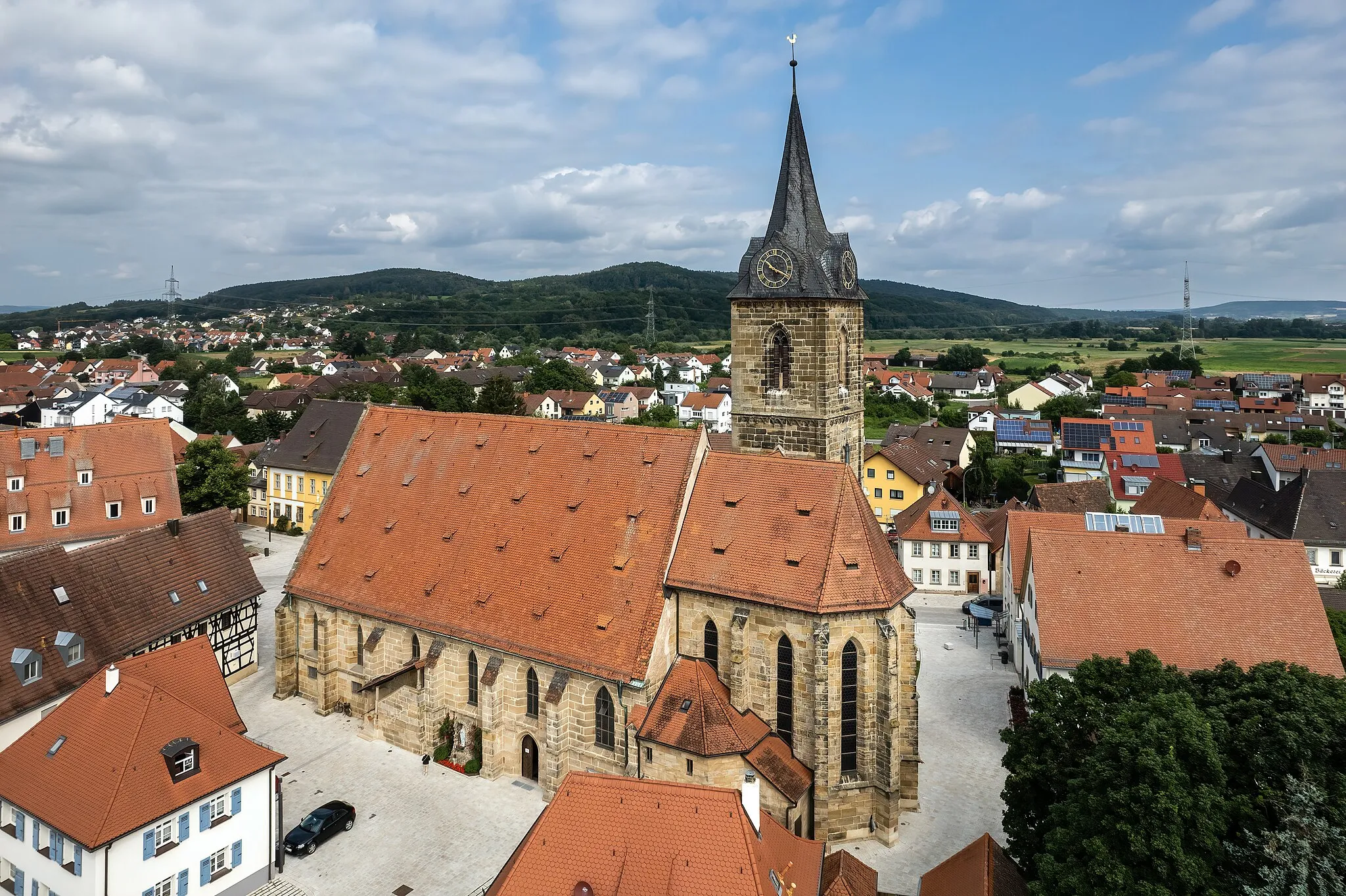
LichtenfelsTownExplore the historic town of Lichtenfels, known for its charming architecture and rich culture.
37 km
37 km
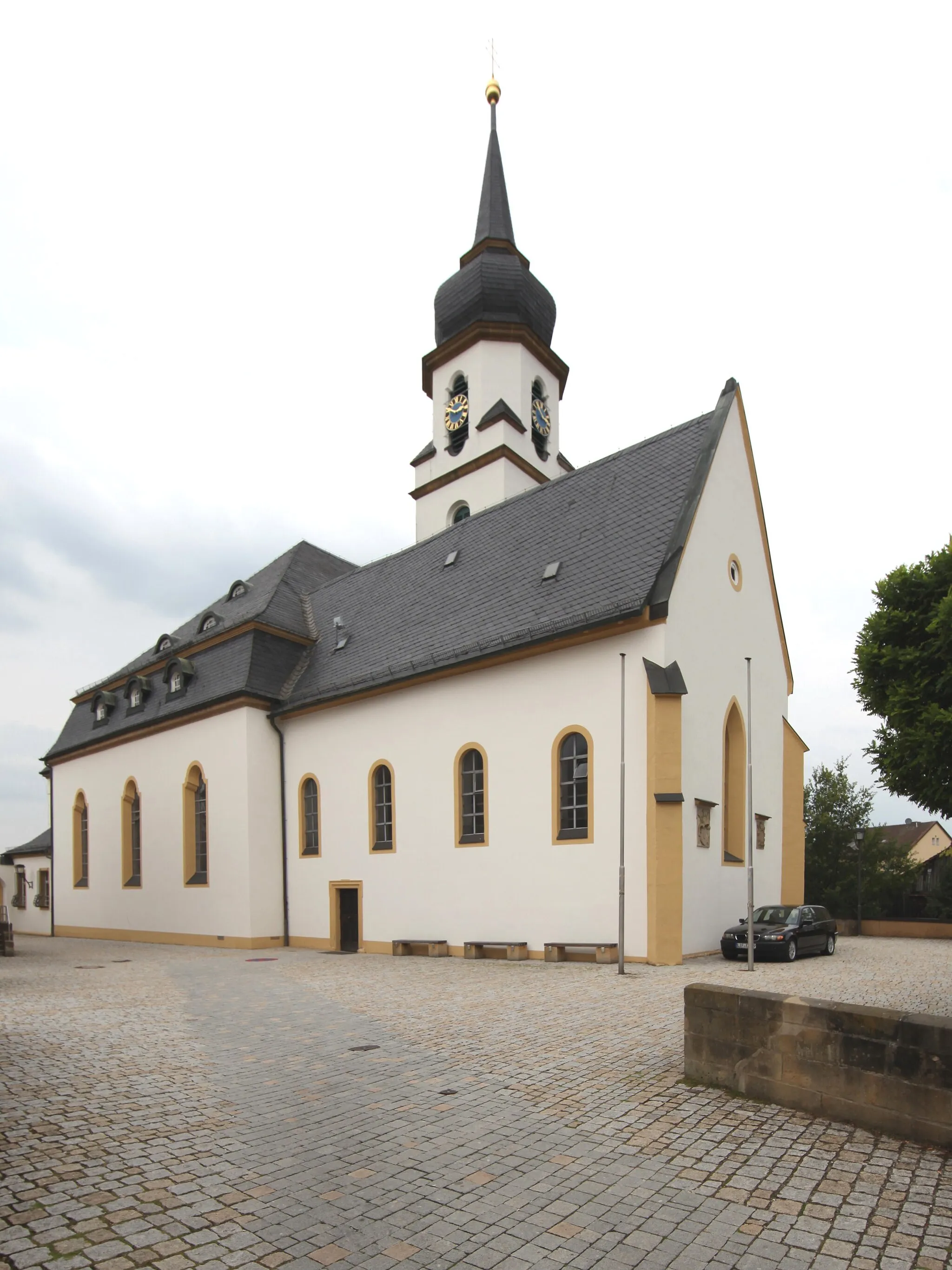
Hochstadt a.MainVillageHochstadt a.Main is home to beautiful vineyards and wineries, perfect for wine enthusiasts.
45 km
45 km
KlosterlangheimVillageKlosterlangheim is a small village with a rich history and beautiful surrounding landscapes.
55 km
55 km
Metzenberg521 mPeakMetzenberg offers panoramic views over the Main river valley, a great spot for a rest.
69 km
69 km
ZapfendorfVillageZapfendorf is a charming village with historic houses and a relaxing atmosphere.
75 km
75 km
Finish: Höfenneusig Village centerRattelsdorf: Hilly terrains and access to famous climbs
Cycling routes nearby: