The Gravel Adventure
A gravel cycling route starting from Regnitzlosau
Experience the thrill of gravel cycling through lush landscapes
Map
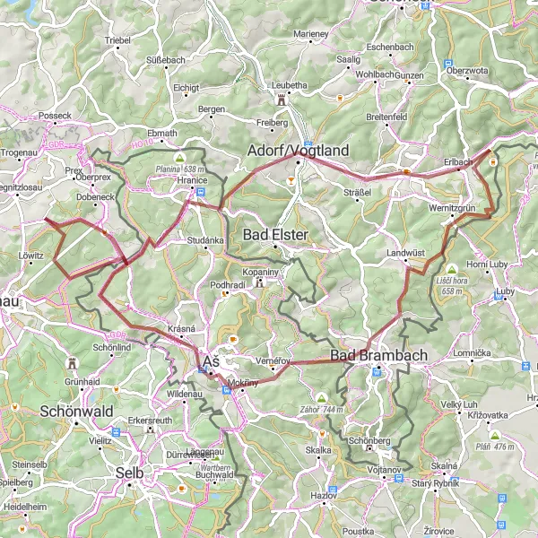
This route takes you on a gravel adventure through charming villages, picturesque meadows, and dense forests. With a distance of 74 km and an ascent of 1097m, it offers a moderate challenge for well-trained amateurs. The route starts in Regnitzlosau and includes highlights such as Luh, Hranice, Markneukirchen, and Štítarský vrch. Overall, the route offers a unique gravel cycling experience combined with beautiful scenery and interesting cultural attractions.
gravel
74 km
1097 m
Tough
Route profile
Highlights on the route
0 km
0 km
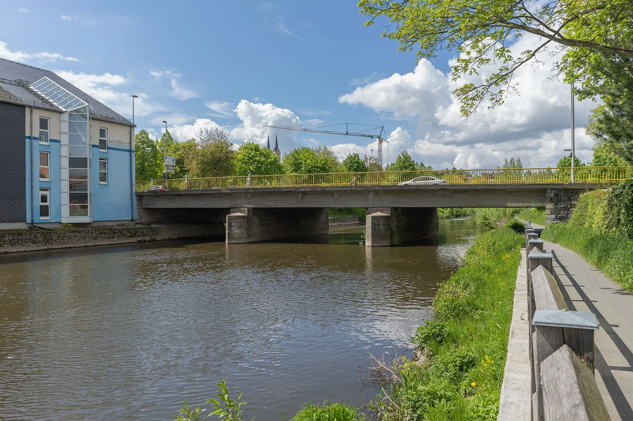
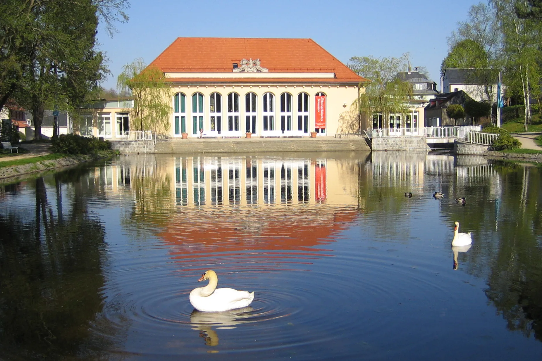
Start: Raitschin Village centerRegnitzlosau: Leisurely rides through scenic Oberfranken
Regnitzlosau, situated in Oberfranken, Germany, is a locality with cycling opportunities best suited for leisure and recreational cyclists. The region offers flat, easy-to-ride routes that take cyclists through tranquil countryside and charming villages. While there are no extraordinary climbs in the vicinity, it provides a calm and serene environment for casual rides. Regnitzlosau is a delightful destination for those seeking a laid-back cycling experience amidst idyllic landscapes.9 km
9 km
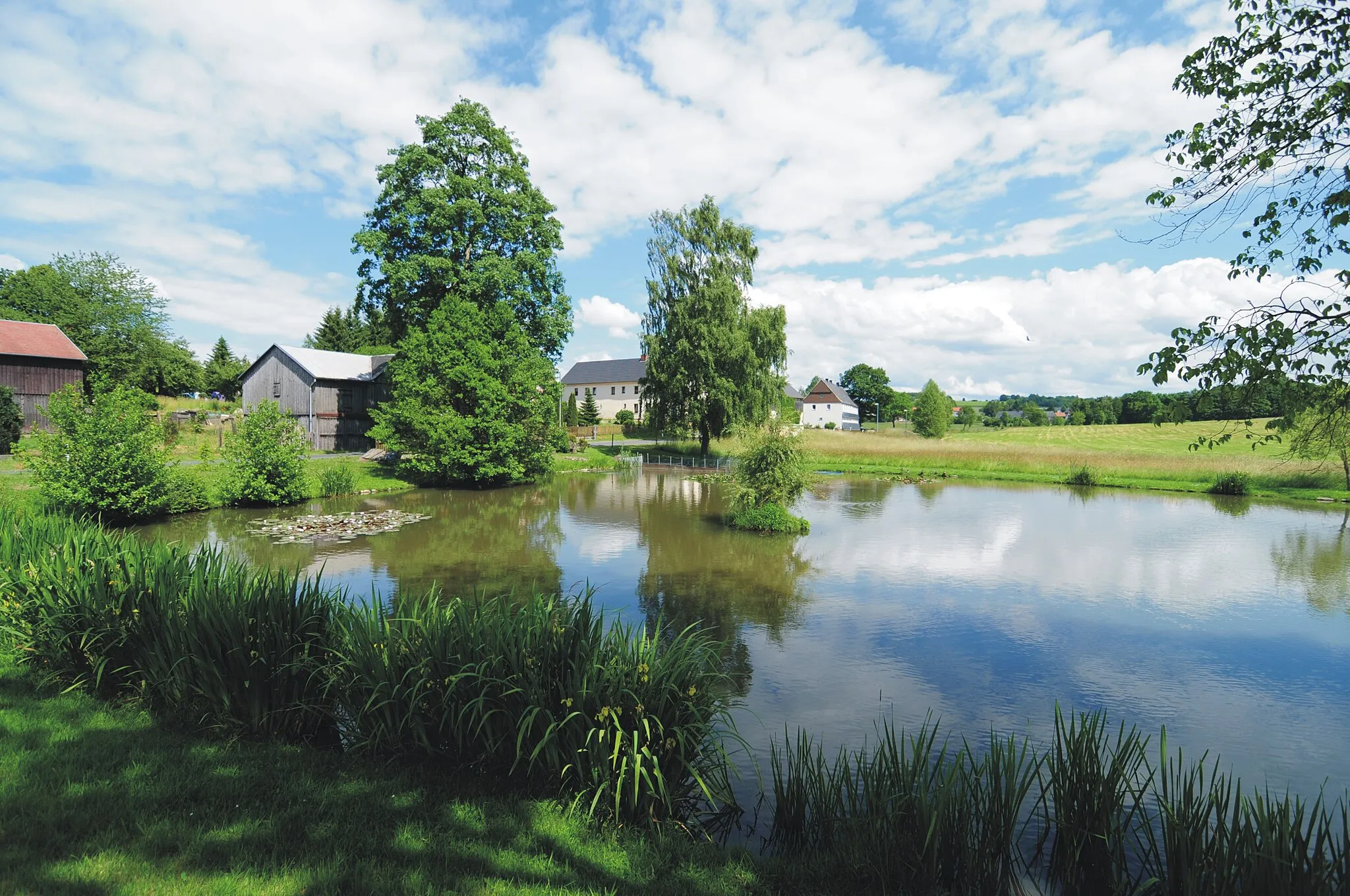
Luh589 mPeakStop by Luh, a quaint village known for its traditional architecture and charming atmosphere.
11 km
11 km
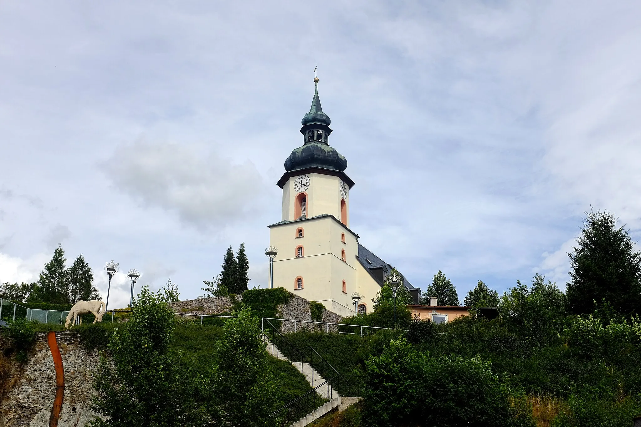
HraniceVillageVisit Hranice, an important historical site with stunning panoramic views of the surrounding countryside.
25 km
25 km
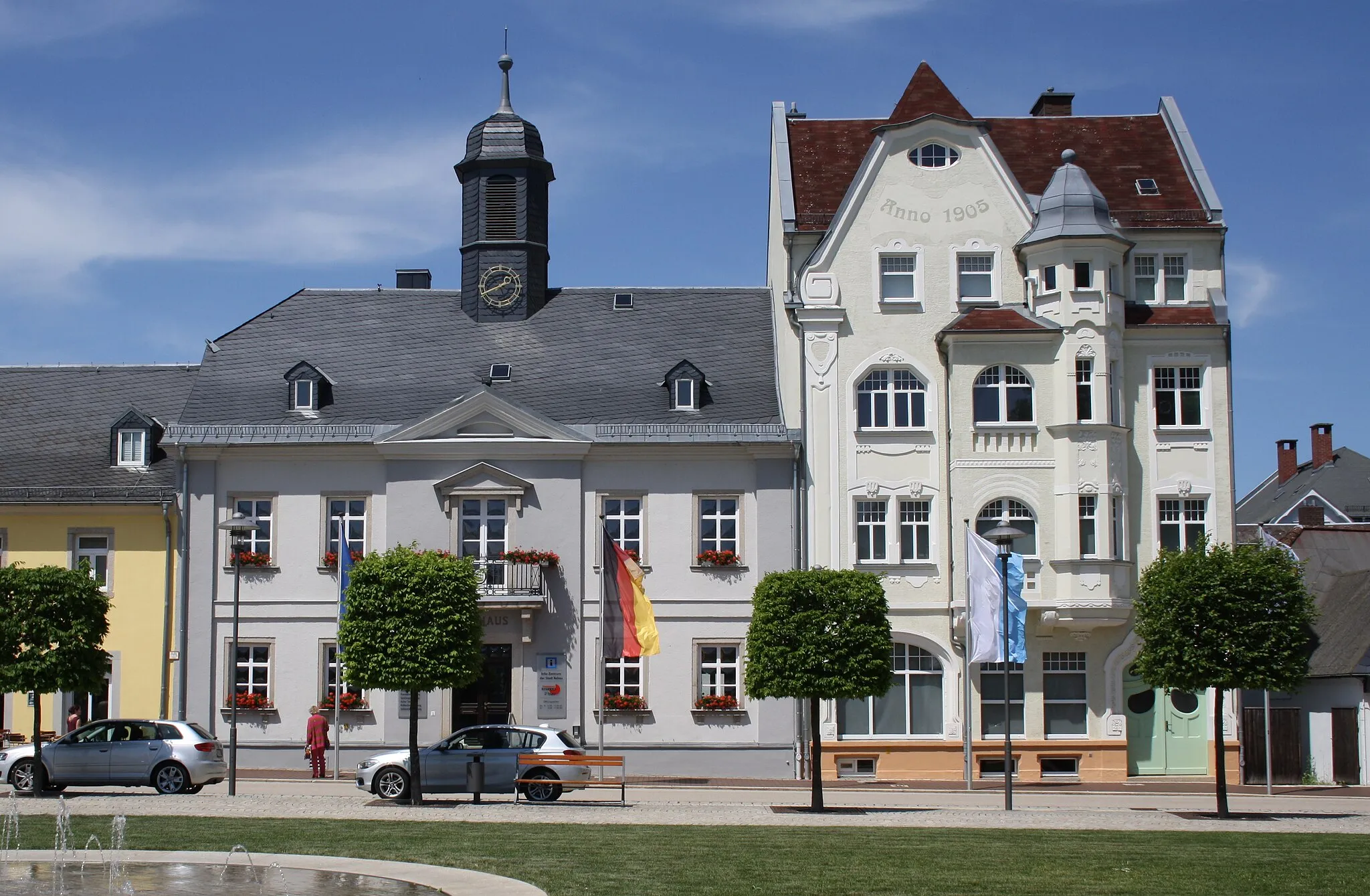
MarkneukirchenTownExplore Markneukirchen, famous for its musical instrument production and rich cultural heritage.
30 km
30 km
Hinterer Kegelberg755 mPeakReach the summit of Hinterer Kegelberg, where you can enjoy breathtaking views of the landscape.
41 km
41 km
Wirtsberg664 mPeakCycle through Wirtsberg, a nature reserve known for its diverse wildlife and colorful wildflower meadows.
46 km
46 km
Bad BrambachTownRelax in the thermal baths of Bad Brambach and rejuvenate after a challenging gravel ride.
57 km
57 km
AšTownCycle to Aš, a border town with a fascinating history and unique cultural mix influenced by both Germany and the Czech Republic.
62 km
62 km
Štítarský vrch716 mPeakConquer Štítarský vrch, a steep hill that rewards you with panoramic views of the surrounding countryside.
74 km
74 km
Finish: Raitschin Village centerRegnitzlosau: Leisurely rides through scenic Oberfranken
Cycling routes nearby: