Scenic Route
A road cycling route starting from Regnitzlosau
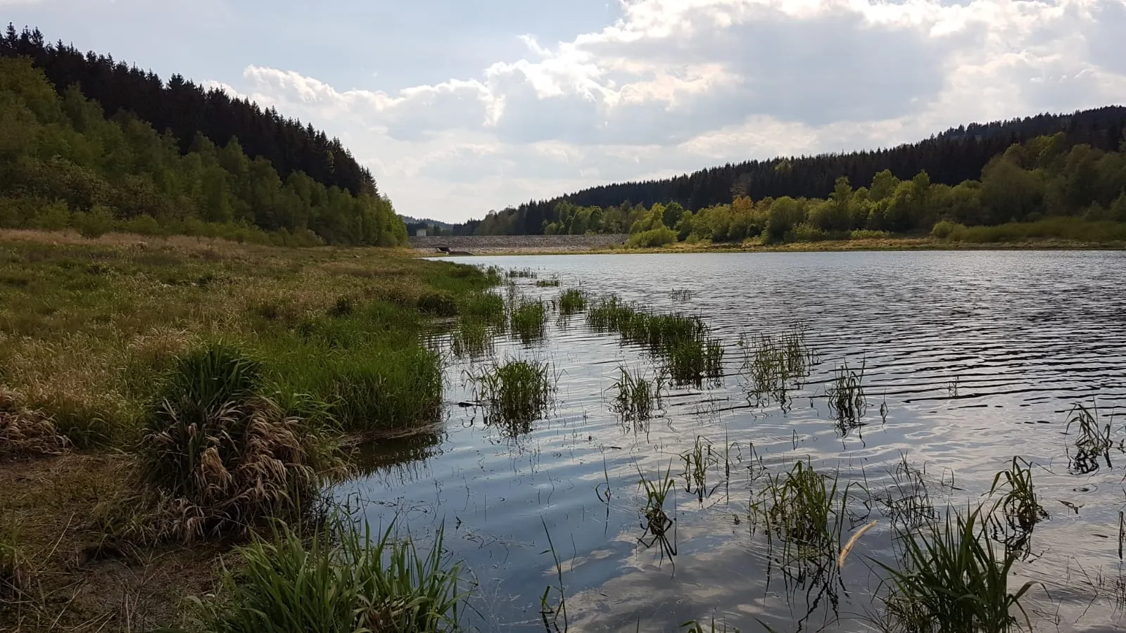
Indulge in the scenic beauty of Oberfranken on this road cycling route
Map

Experience the natural beauty of Oberfranken on this scenic road cycling route. With a distance of 34 km and an ascent of 527m, it is perfect for cyclists seeking a shorter but picturesque ride. The highlights of this route include Blosenberg, Wachthübel, Dröda, and Galgenberg. Enjoy the tranquility of the countryside as you cycle through charming villages and lush green fields. This route offers a relaxing and enjoyable cycling experience, surrounded by breathtaking scenery.
road
34 km
527 m
Chill
Route profile
Highlights on the route
0 km
0 km
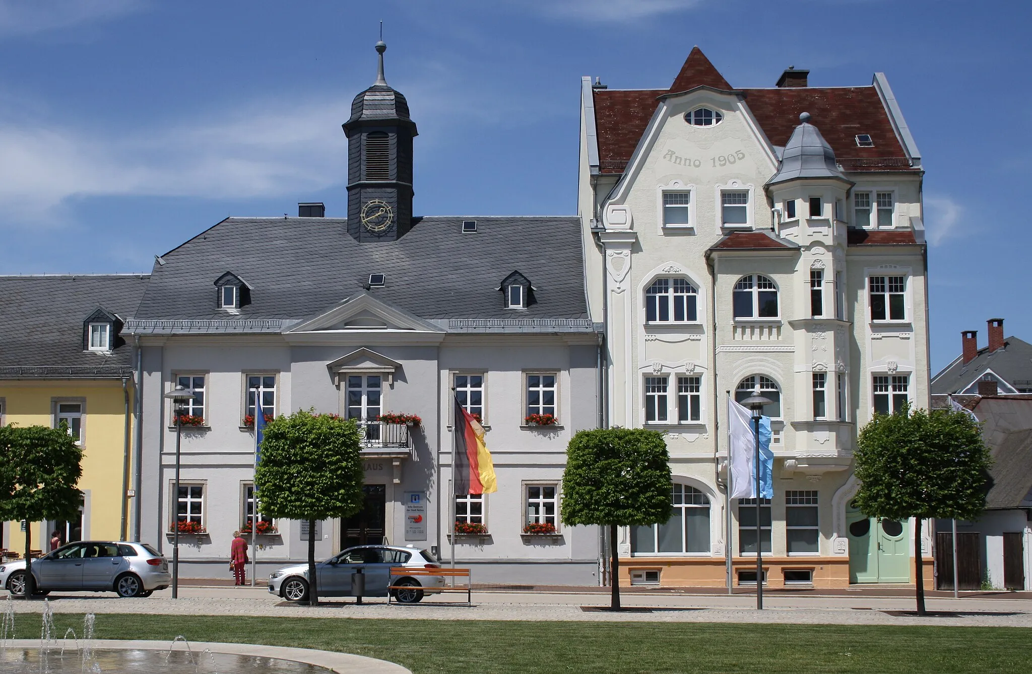
Start: Regnitzlosau Village centerRegnitzlosau: Leisurely rides through scenic Oberfranken
Regnitzlosau, situated in Oberfranken, Germany, is a locality with cycling opportunities best suited for leisure and recreational cyclists. The region offers flat, easy-to-ride routes that take cyclists through tranquil countryside and charming villages. While there are no extraordinary climbs in the vicinity, it provides a calm and serene environment for casual rides. Regnitzlosau is a delightful destination for those seeking a laid-back cycling experience amidst idyllic landscapes.11 km
11 km
BlosenbergHamletAdmire the views from Blosenberg, a hill that offers scenic vistas of the surrounding countryside.
12 km
12 km
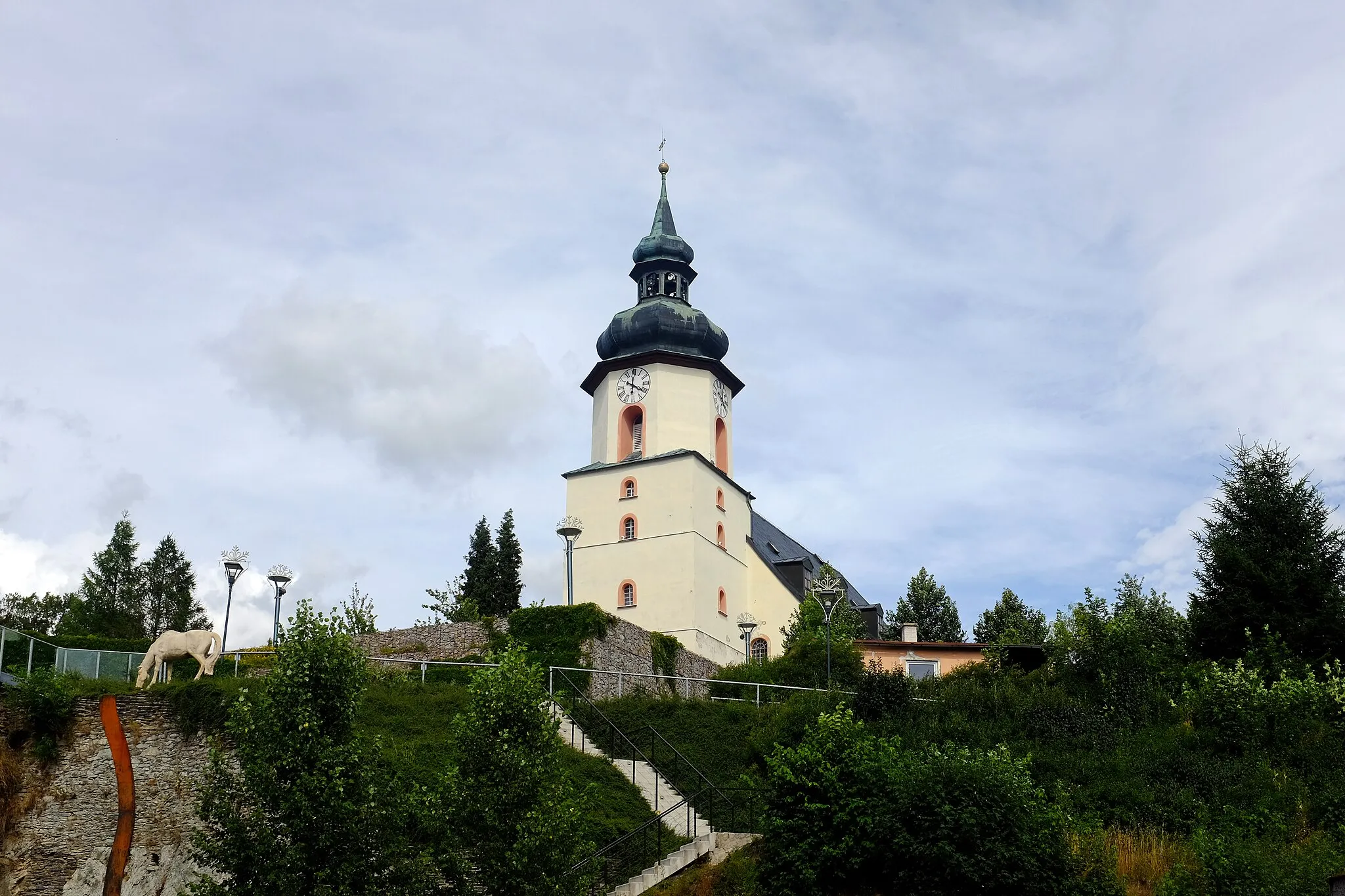
Wachthübel519 mPeakPass through the village of Wachthübel, known for its well-preserved traditional architecture and peaceful environment.
19 km
19 km
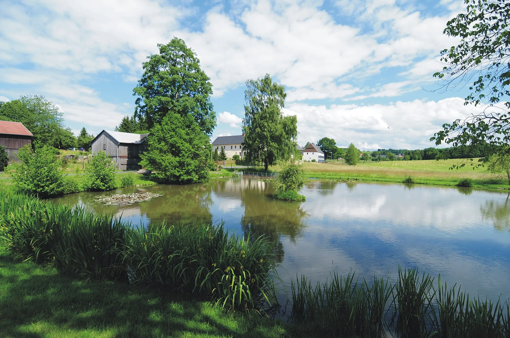
DrödaVillageCycle through Dröda, a small village with beautiful half-timbered houses and a tranquil atmosphere.
31 km
31 km
GalgenbergViewpointReach the top of Galgenberg, which provides panoramic views of the region and its rolling hills.
34 km
34 km
Finish: Regnitzlosau Village centerRegnitzlosau: Leisurely rides through scenic Oberfranken
Cycling routes nearby: