The Gravel Adventure
A gravel cycling route starting from Namborn
A thrilling gravel route with scenic highlights
Map
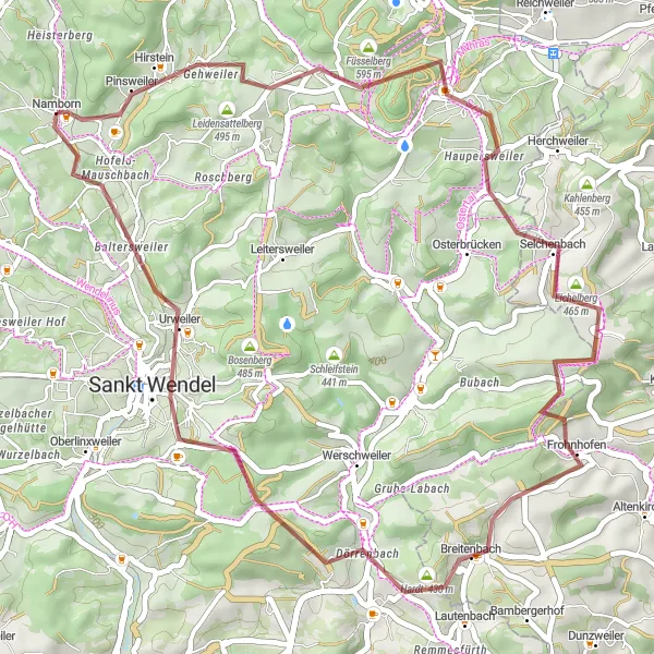
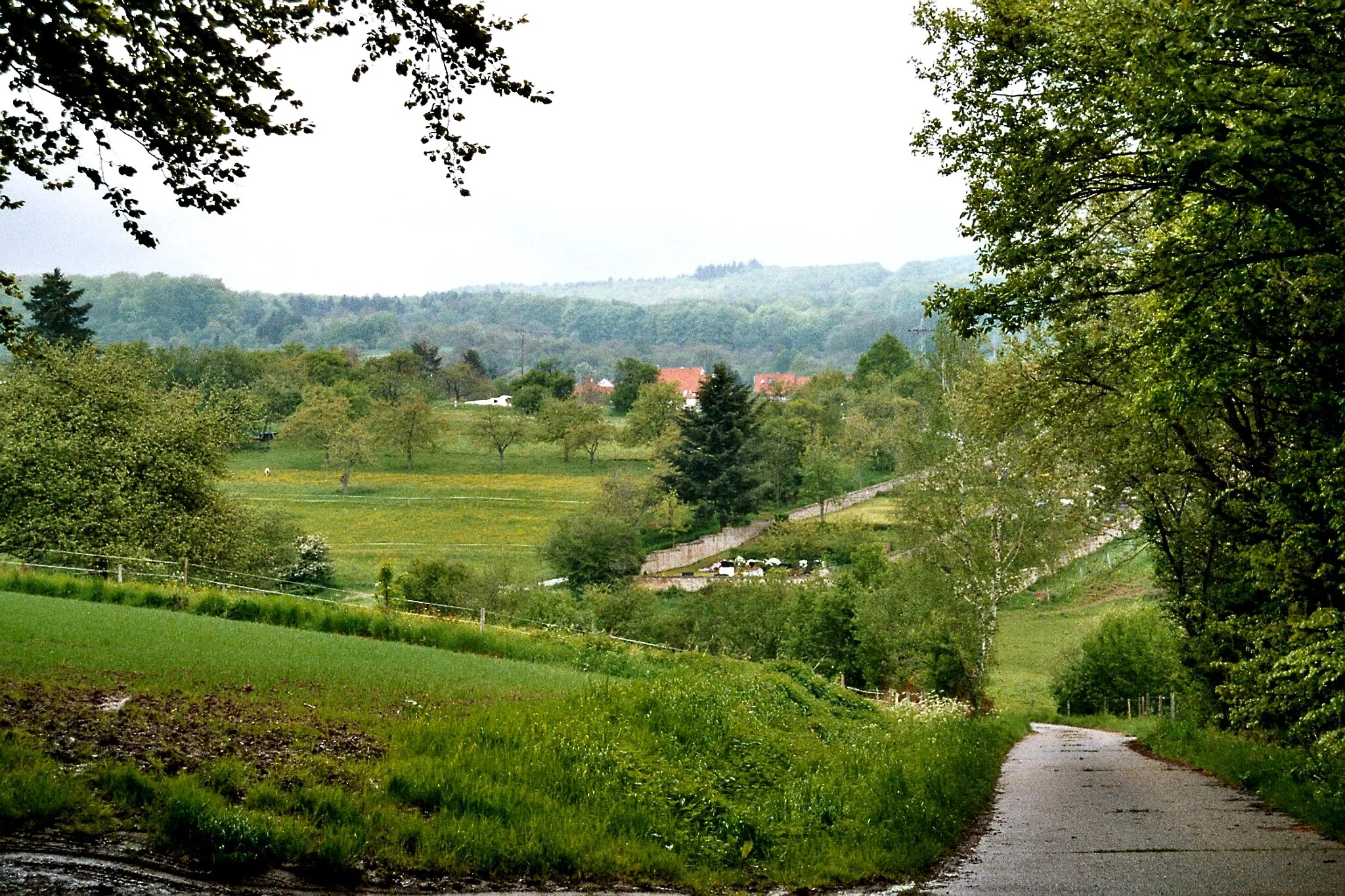
Embark on a thrilling gravel adventure starting from Namborn and explore the beautiful surroundings. This 46-kilometer route features 799 meters of ascent, taking you through stunning landscapes and past various highlights along the way. Experience the Weiselberg with its panoramic views at the 8-kilometer mark, followed by the picturesque Buberg at 21 kilometers. Enjoy a refreshing stop at Frohnhofen at 24 kilometers, and challenge yourself with the climb up Hungerberg at 33 kilometers. Finally, take in the beauty of Baltersweiler at 42 kilometers as you complete this epic gravel route.
gravel
46 km
799 m
Tough
Route profile
Highlights on the route
0 km
0 km
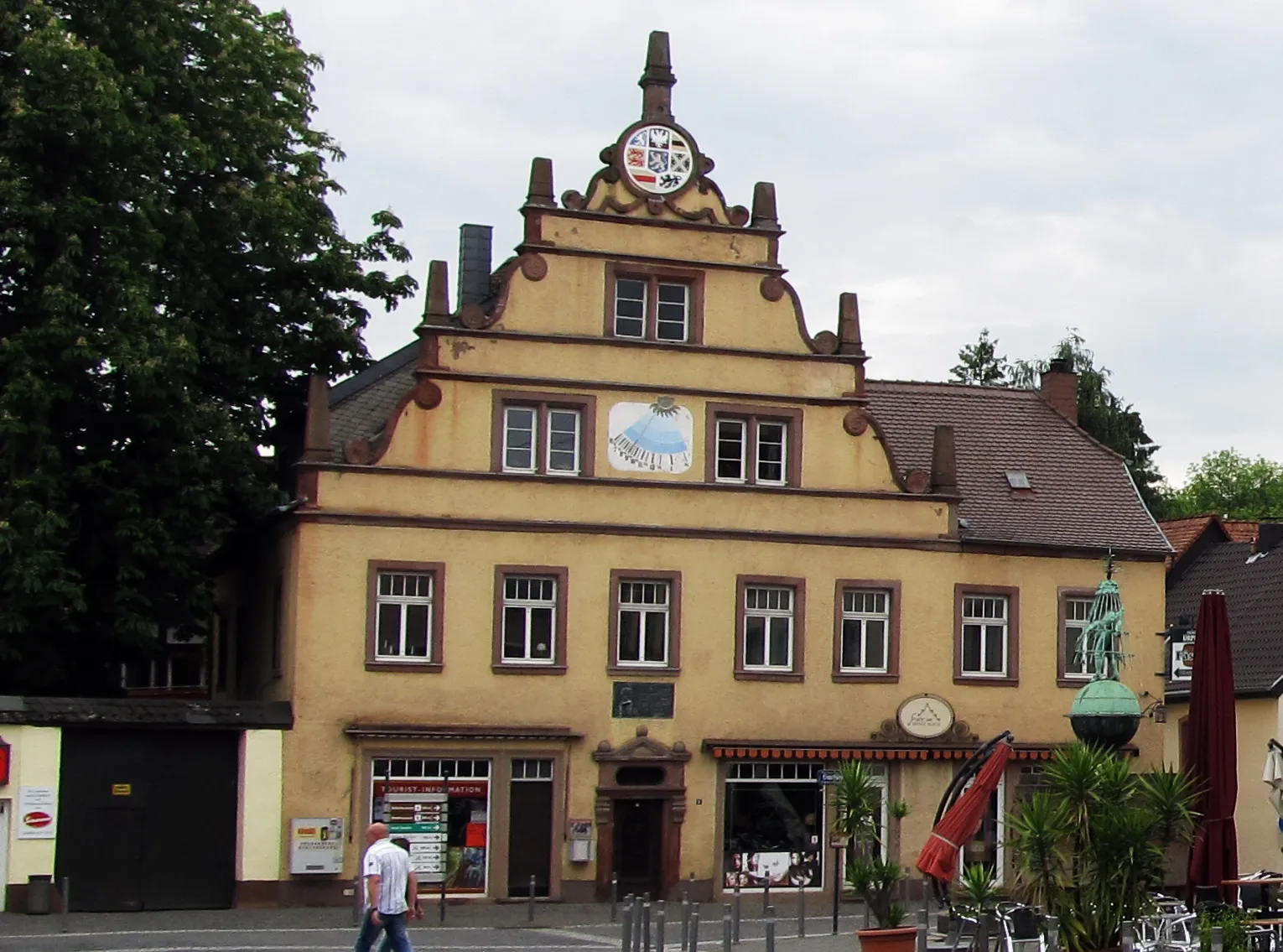
Start: Namborn Village centerNamborn: Cycling-friendly town with access to scenic routes and tranquil surroundings.
Namborn is a town located in the Saarland region of Germany. From a cyclist's perspective, it offers a mix of flat and rolling terrains. The town has cyclist-friendly infrastructure, including dedicated bike paths and well-maintained roads. There are several scenic routes to explore in the surrounding area, with the Namborn Forest being particularly popular among mountain bikers. Overall, Namborn ranks as a 3 in terms of cycling friendliness and is recommended for cyclists looking for enjoyable rides in a peaceful environment.0 km
0 km
NambornVillageSituated in Namborn, the starting point of the route, explore the charming town before setting off on your adventure.
8 km
8 km
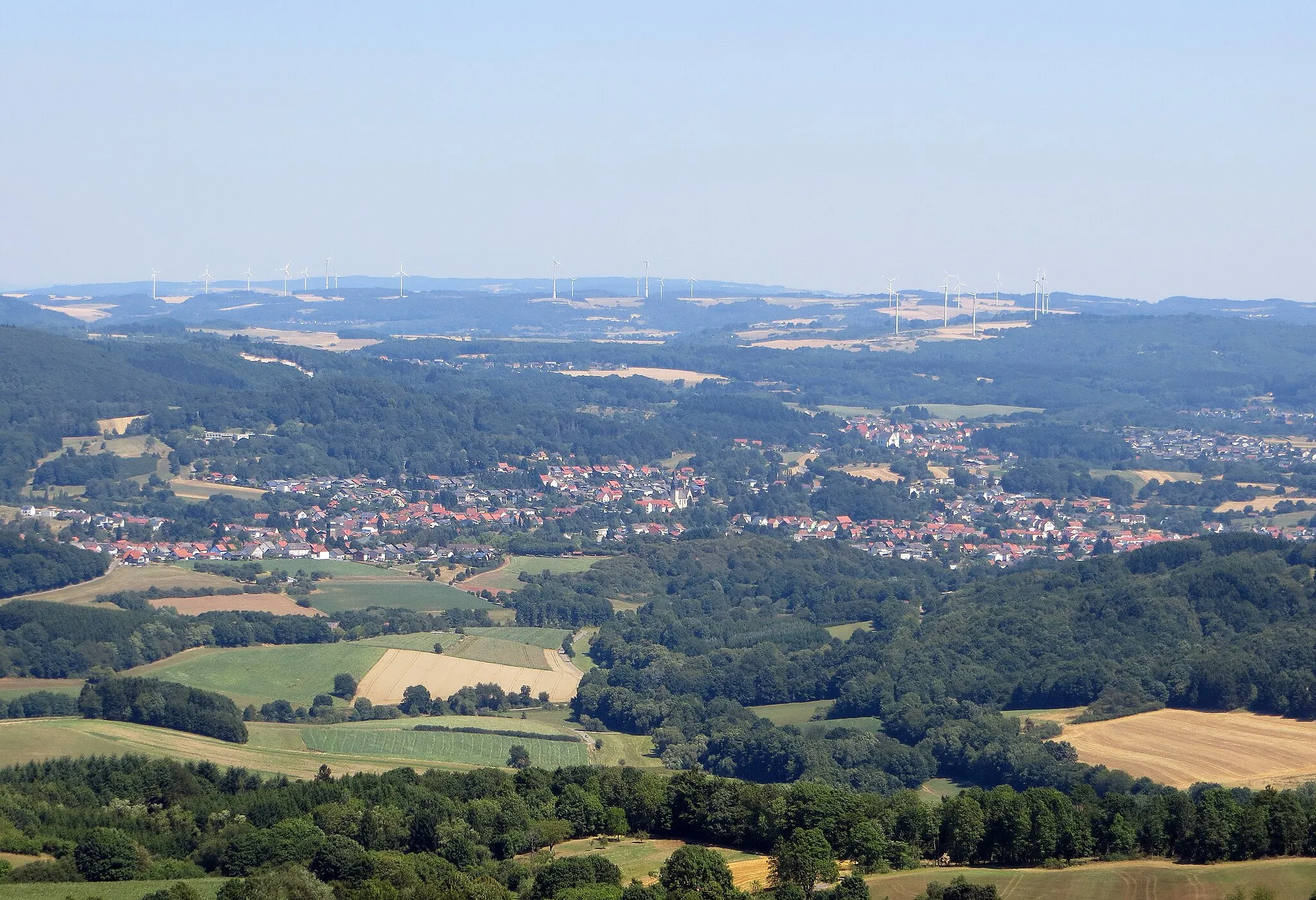
Weiselberg569 mPeakAt the 8-kilometer mark, enjoy the Weiselberg with its breathtaking panoramic views and embrace the natural beauty of the region.
21 km
21 km
Buberg465 mPeakLocated at 21 kilometers, discover the historical Buberg, known for its unique architecture and cultural significance.
24 km
24 km
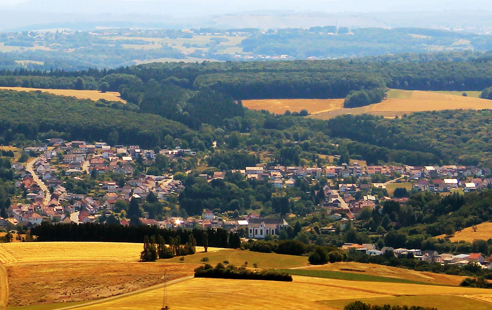
FrohnhofenVillageStop at the village of Frohnhofen, at 24 kilometers, and indulge in a peaceful atmosphere surrounded by scenic landscapes.
33 km
33 km
Hungerberg401 mPeakChallenge yourself with a climb up to Hungerberg at 33 kilometers and enjoy the rewarding views from the top.
42 km
42 km
BaltersweilerSub-urbEnd your gravel adventure at Baltersweiler, a quaint village at 42 kilometers known for its picturesque beauty and charm.
46 km
46 km
Finish: Namborn Village centerNamborn: Cycling-friendly town with access to scenic routes and tranquil surroundings.
Cycling routes from Namborn:
Cycling routes nearby: