The Road Cycling Challenge
A road cycling route starting from Namborn
A challenging road cycling route with stunning highlights

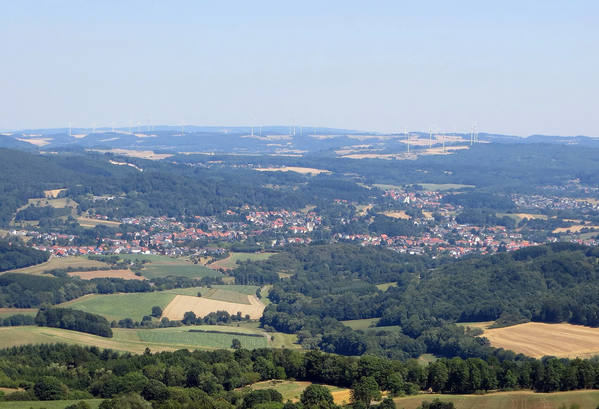
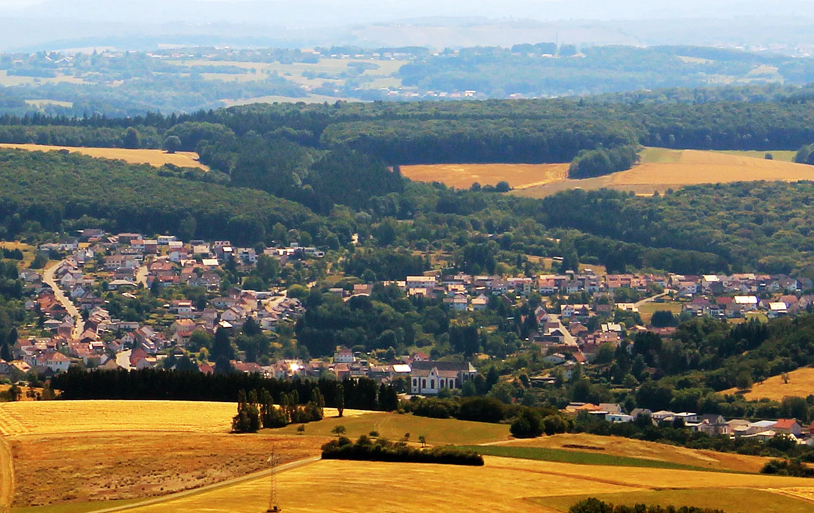
Prepare for a challenging road cycling route starting near Namborn. Covering a distance of 137 kilometers and featuring an ascent of 2239 meters, this route is perfect for experienced cyclists looking for a test of their endurance. Enjoy the scenic landscapes as you ride through various highlights along the way. Look out for Homerskopf at 4 kilometers, offering picturesque views of the surrounding countryside. Discover the historic Bergfried at 26 kilometers and Frauenberg at 27 kilometers, both steeped in rich cultural significance. Take a moment to appreciate the views from Gauskopf at 49 kilometers and the serenity of Kirschroth at 61 kilometers. At 66 kilometers, conquer the legendary Limbacher Höhe, well-known among cycling enthusiasts. Catch your breath at Angst at 75 kilometers, surrounded by beautiful landscapes. Buborn at 87 kilometers and Birkenhübel at 99 kilometers provide memorable stops before reaching the impressive Kusel at 106 kilometers. Take in the breathtaking views of Kahlenberg at 116 kilometers and the historic Bosenberg at 128 kilometers. Finally, end your journey at Baltersweiler at 133 kilometers, appreciating its timeless beauty.
Highlights on the route
Cycling routes from Namborn:
Cycling routes nearby: