The Scenic Road Escape
A road cycling route starting from Namborn
An enchanting road cycling route amidst picturesque surroundings
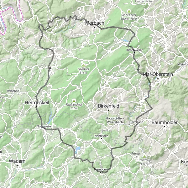
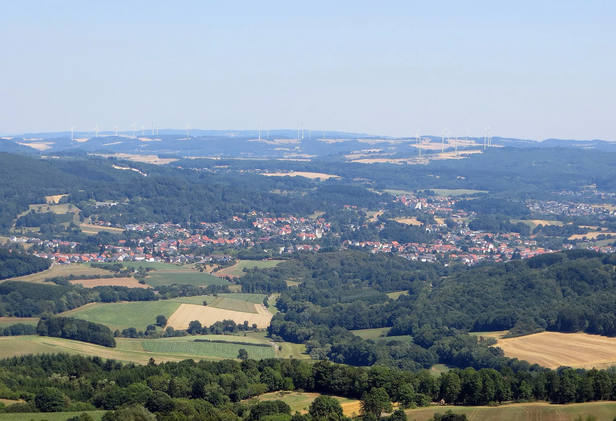
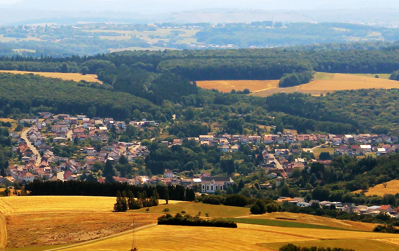
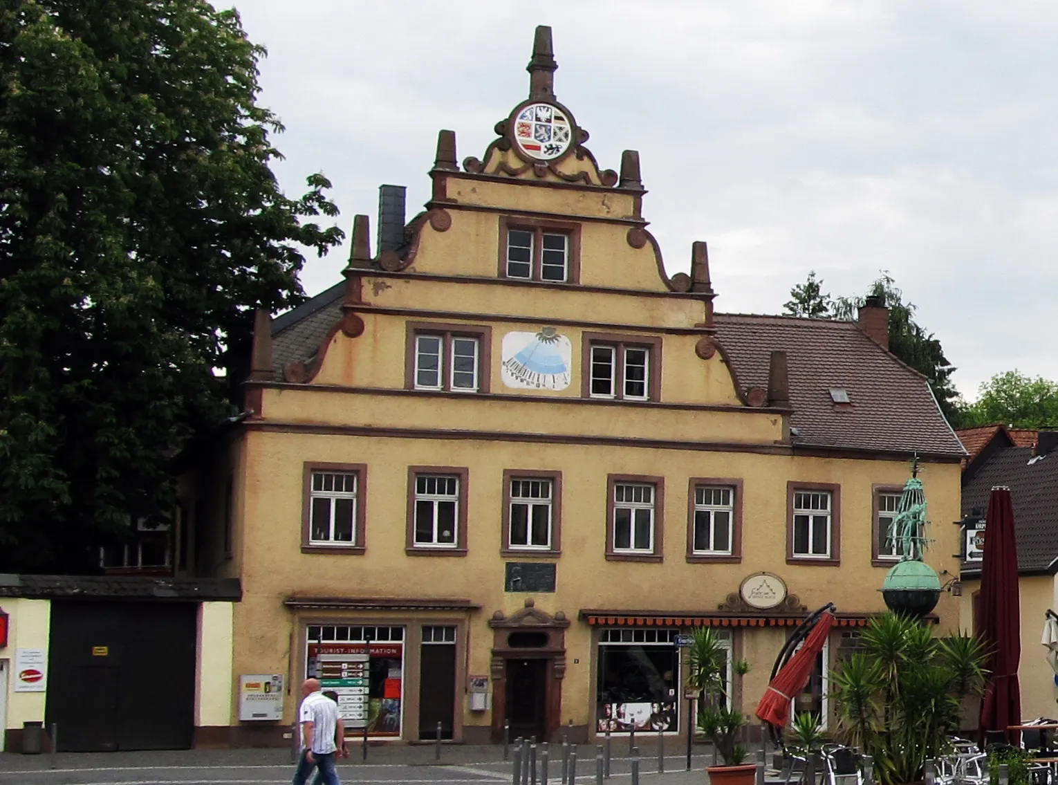
Escape to the breathtaking surroundings near Namborn with this scenic road cycling route. Covering 124 kilometers and featuring an ascent of 2327 meters, this route promises picturesque views and unforgettable landmarks. Immerse yourself in natural splendor as you ride through various highlights along the way. Don't miss the charm of Namborn itself at 2 kilometers before embarking on this memorable adventure. At the 10-kilometer mark, enjoy the panoramic views from Aussichtsturm Freizeitpark Neunkirchen. Delight in the beauty of Kahlenberg at 20 kilometers, offering a visual feast of landscapes. Pass through the picturesque town of Hermeskeil at 28 kilometers and feel its rich historical heritage. Experience the serenity of Dhronecken at 38 kilometers, surrounded by beautiful countryside. Lierensberg at 51 kilometers provides a picturesque stop for photographs, enclosed in serene nature. At 71 kilometers, embrace the tranquility of Morbach and discover its cultural and architectural gems. Bruchweiler at 79 kilometers offers a peaceful atmosphere and lush landscapes. Pause at Aussichtsplattform at 83 kilometers for breathtaking panoramic views. Discover the historical significance of Frauenberg at 98 kilometers and be captivated by Bergfried at 99 kilometers. At 121 kilometers, challenge yourself with Homerskopf, renowned for its stunning beauty. Finally, relish the beauty of Bosenberg at 128 kilometers before ending your journey in Baltersweiler at 133 kilometers.
Highlights on the route
Cycling routes from Namborn:
Cycling routes nearby: