Namborn Gravel Adventure
A gravel cycling route starting from Namborn
Embark on a thrilling gravel adventure starting from Namborn
Map
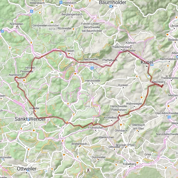
This cycling route starting near Namborn offers a thrilling gravel adventure for experienced riders. With a distance of 63 kilometers and an ascent of 1074 meters, this route will challenge even the most seasoned cyclists. The scenic highlights along the route make it a truly memorable experience.
gravel
63 km
1074 m
Tough
Route profile
Highlights on the route
0 km
0 km
Start: Namborn Village centerNamborn: Cycling-friendly town with access to scenic routes and tranquil surroundings.
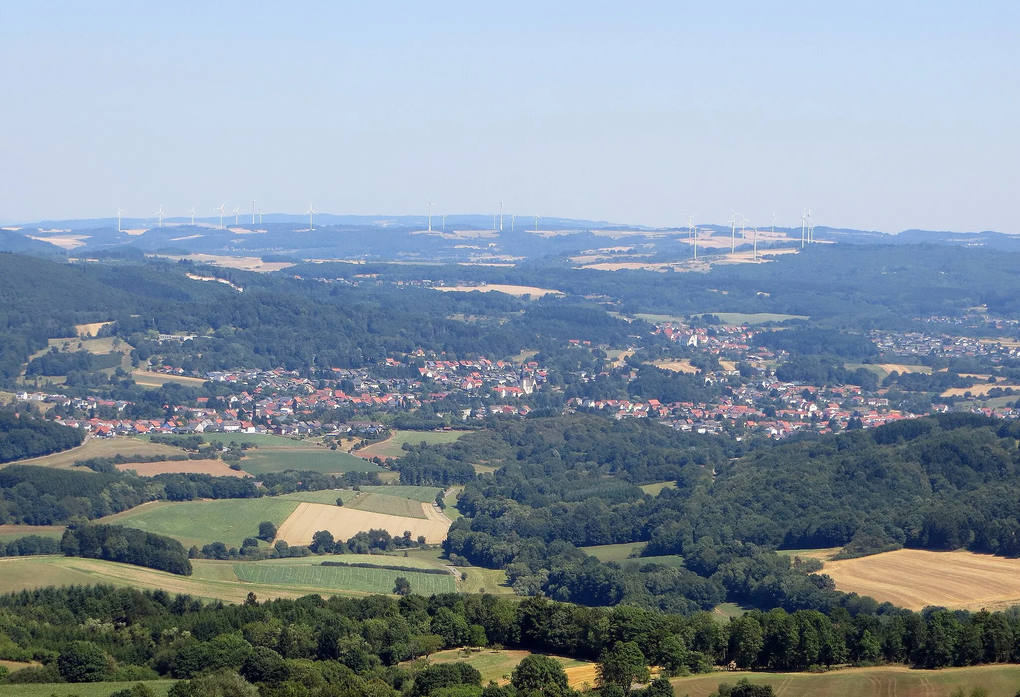
Namborn is a town located in the Saarland region of Germany. From a cyclist's perspective, it offers a mix of flat and rolling terrains. The town has cyclist-friendly infrastructure, including dedicated bike paths and well-maintained roads. There are several scenic routes to explore in the surrounding area, with the Namborn Forest being particularly popular among mountain bikers. Overall, Namborn ranks as a 3 in terms of cycling friendliness and is recommended for cyclists looking for enjoyable rides in a peaceful environment.0 km
0 km
NambornVillageBegin your journey in Namborn, a charming town filled with history and culture.
5 km
5 km
Homerskopf460 mPeakReach the summit of Homerskopf and be rewarded with breathtaking views of the surrounding landscape.
10 km
10 km
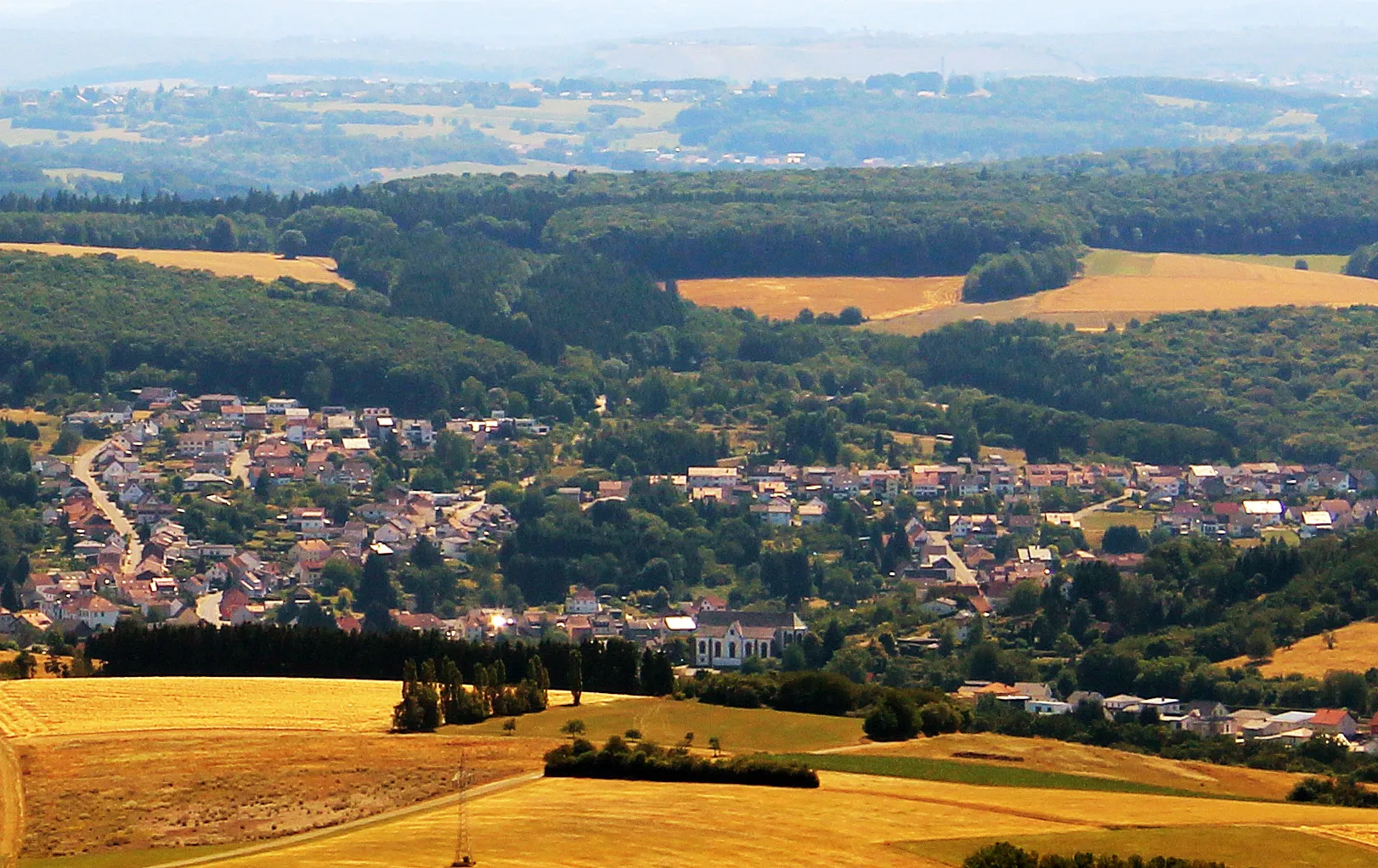
FreisenVillagePass through Freisen, a picturesque village known for its traditional architecture and cozy cafes.
13 km
13 km
Hellerberg596 mPeakMarvel at the beauty of Hellerberg, a hill known for its scenic trails and panoramic vistas.
25 km
25 km
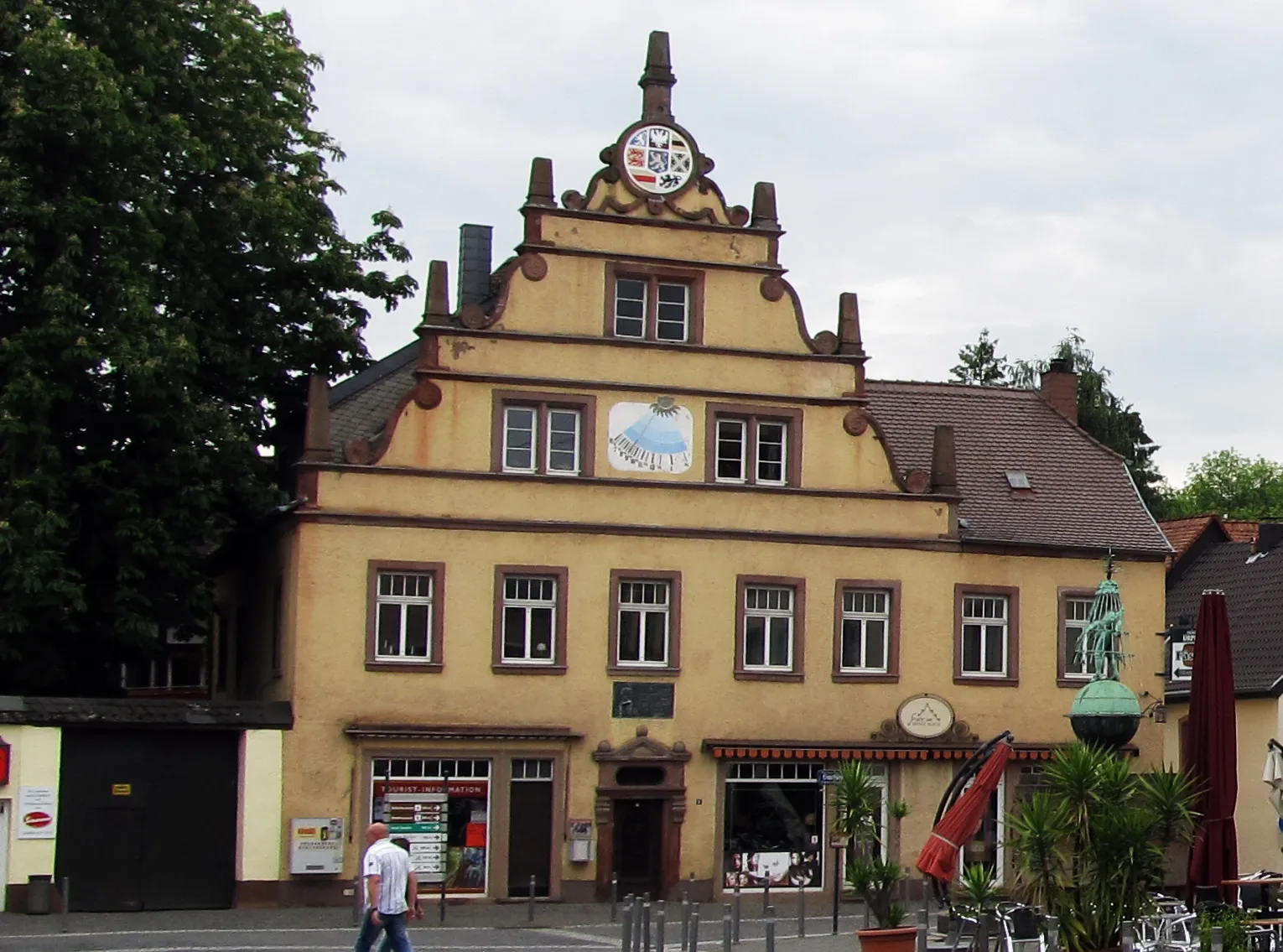
KuselTownMake a stop in Kusel, a historic town famous for its well-preserved medieval architecture.
42 km
42 km
KrottelbachVillageVisit Krottelbach and explore its charming streets lined with traditional half-timbered houses.
55 km
55 km
Bosenberg485 mPeakMake a detour to Bosenberg, a hill known for its beautiful hiking trails and towering lookout tower.
61 km
61 km
Hofeld-MauschbachSub-urbPass through Hofeld-Mauschbach, a quiet village surrounded by scenic countryside and lush green fields.
62 km
62 km
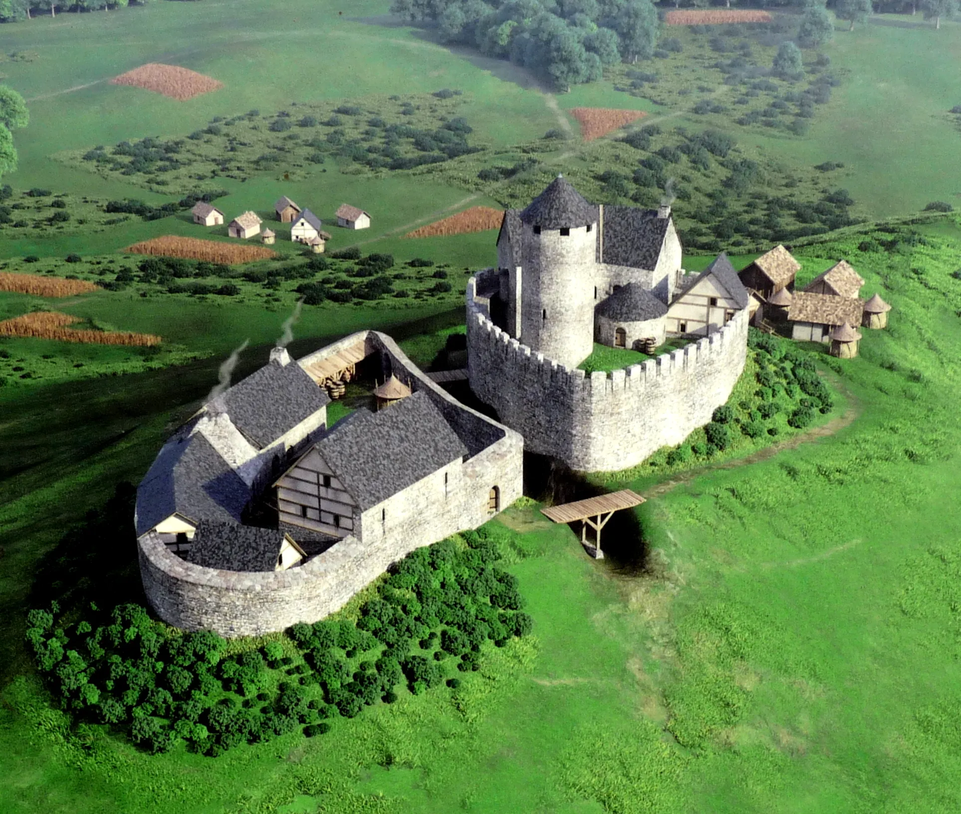
Bergfried LiebenburgViewpointEnd your journey at Bergfried Liebenburg and enjoy the magnificent views from its medieval tower.
63 km
63 km
Finish: Namborn Village centerNamborn: Cycling-friendly town with access to scenic routes and tranquil surroundings.
Cycling routes from Namborn:
Cycling routes nearby: