Riegelsberg to Sulzbach Gravel Route
A gravel cycling route starting from Sulzbach
Experience the thrill of off-road cycling through diverse terrains
Map

This gravel cycling route from Riegelsberg to Sulzbach spans over 89 kilometers and takes cyclists through diverse terrains, providing a thrilling off-road experience. With an ascent of 1700 meters, this route is recommended for experienced amateur cyclists seeking an adventure.
gravel
89 km
1700 m
Tough
Route profile
Highlights on the route
0 km
0 km
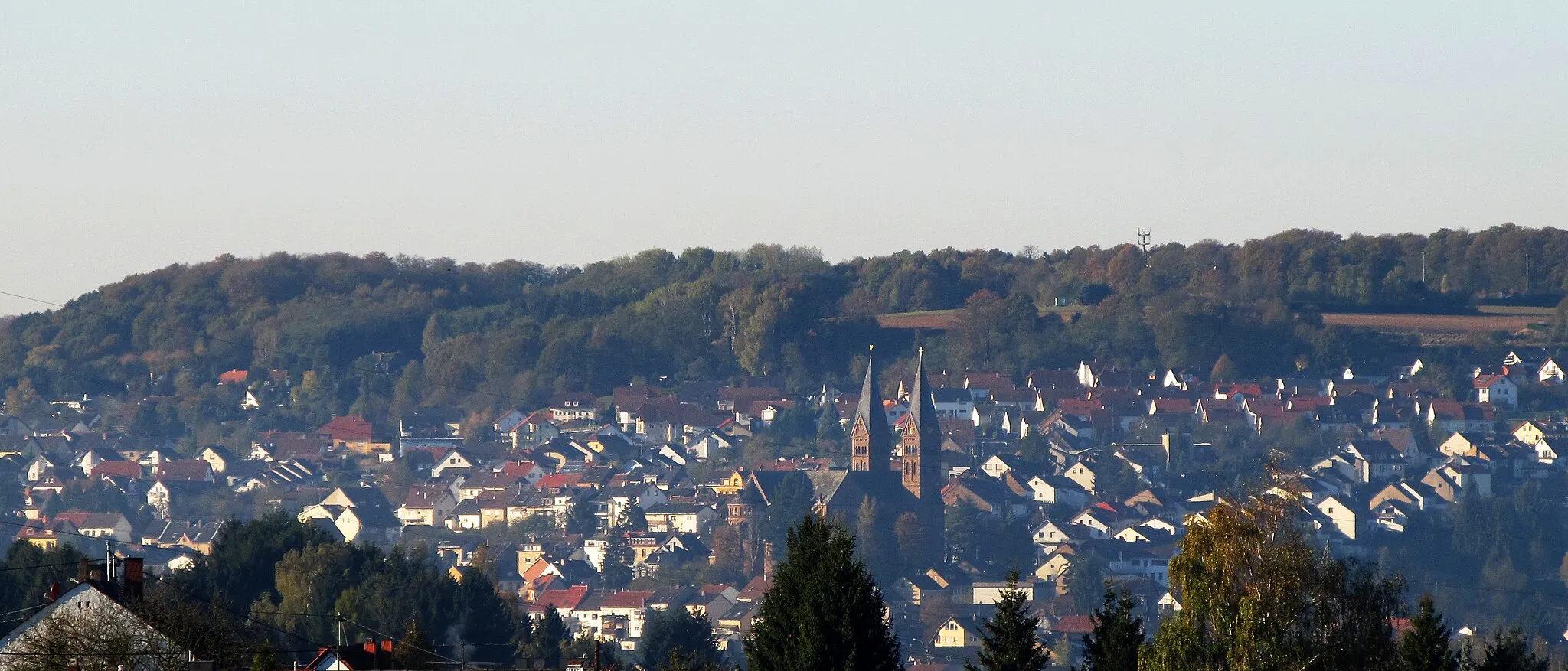
Start: Sulzbach/Saar City centerSulzbach: Diverse terrains and off-road trails in the nearby Warndt Forest
Sulzbach is a locality located in Saarland, Germany. From a cyclist's perspective, Sulzbach offers a mix of flat and hilly terrains, suitable for cyclists of different skill levels. The region is known for its lush forests and beautiful countryside, providing cyclists with scenic routes and tranquil surroundings. One notable cycling spot nearby is the Warndt Forest, which offers off-road cycling trails for adventurous cyclists. Overall, Sulzbach is a cycling-friendly area with diverse routes and opportunities for both on-road and off-road cycling.12 km
12 km
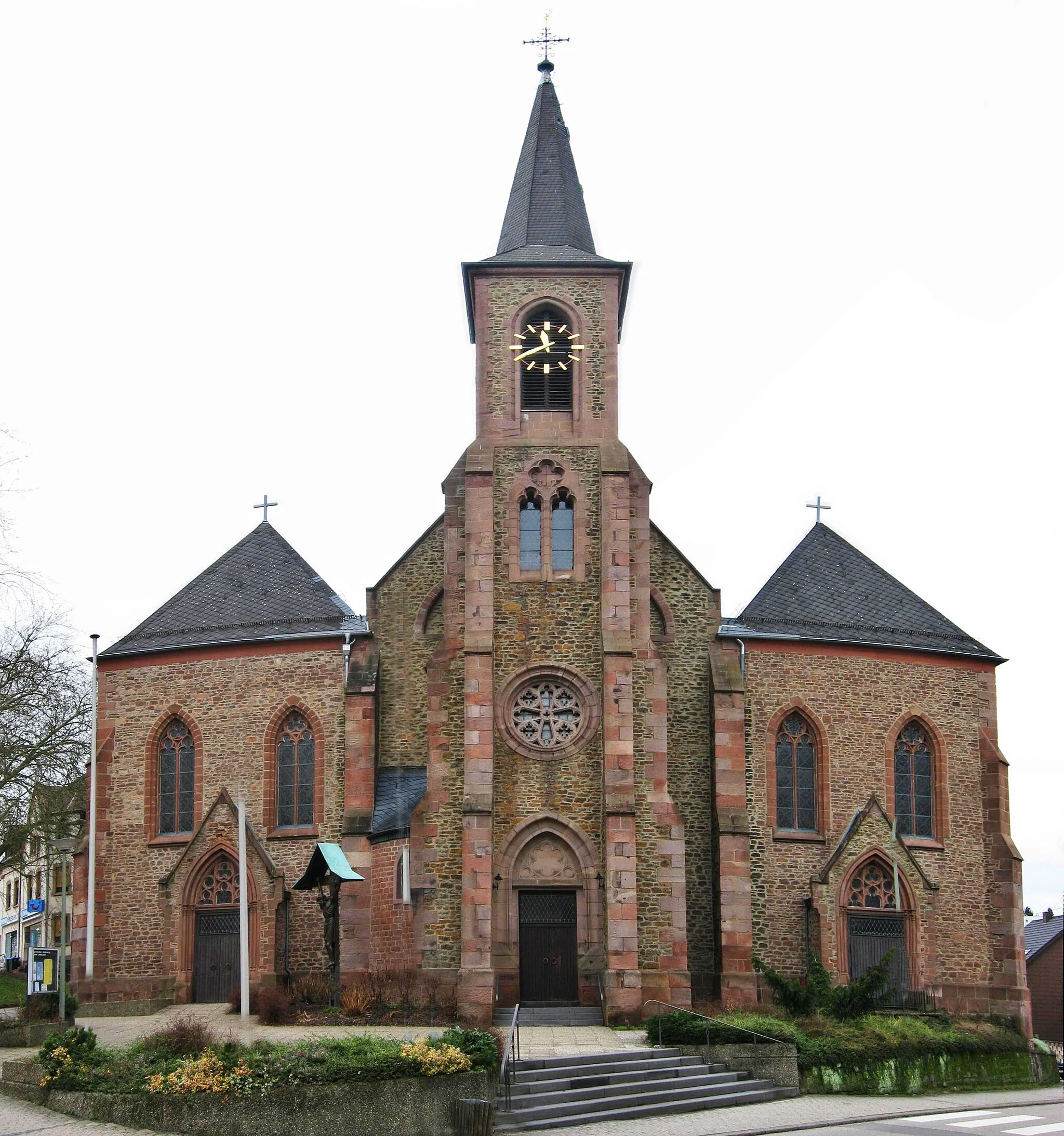
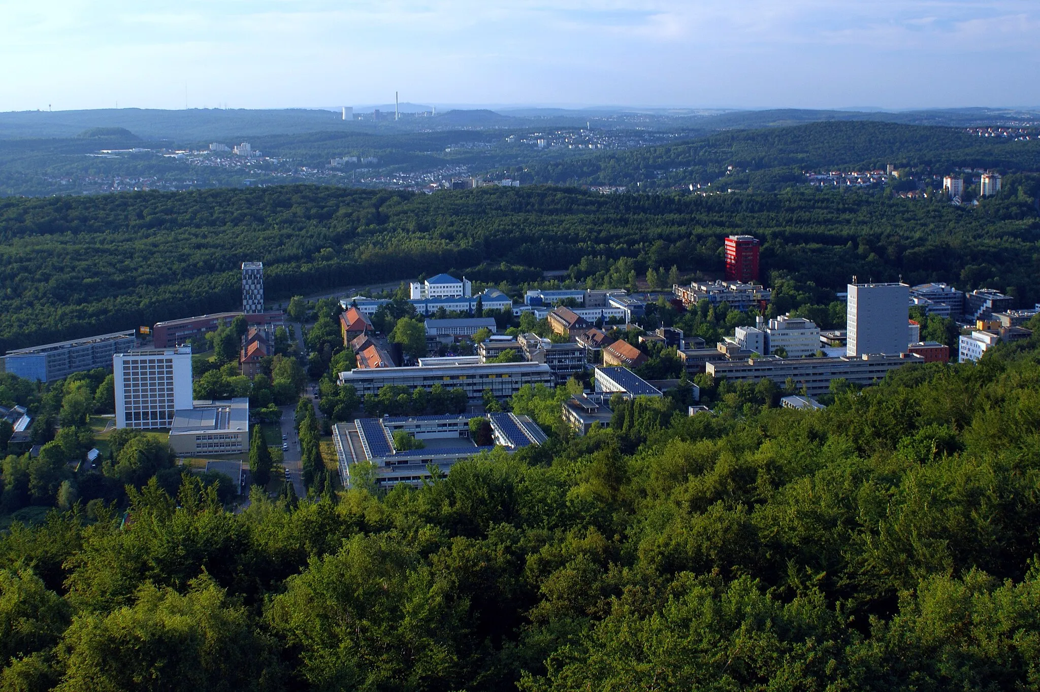
RiegelsbergTownRiegelsberg offers hidden gems waiting to be explored by gravel cycling enthusiasts.
15 km
15 km
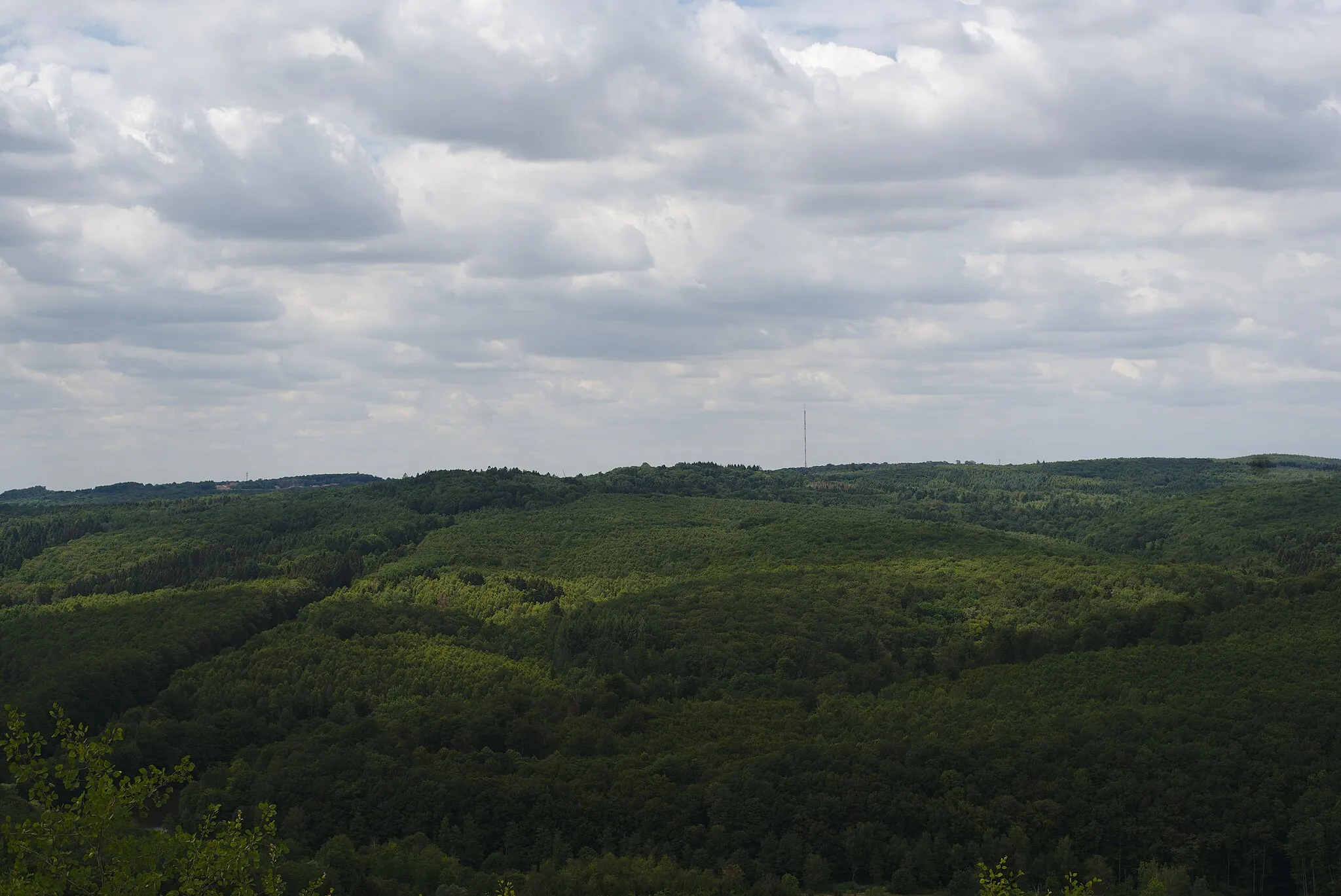
Schoksberg376 mPeakSchoksberg provides stunning vistas and untouched landscapes for a serene cycling experience.
25 km
25 km
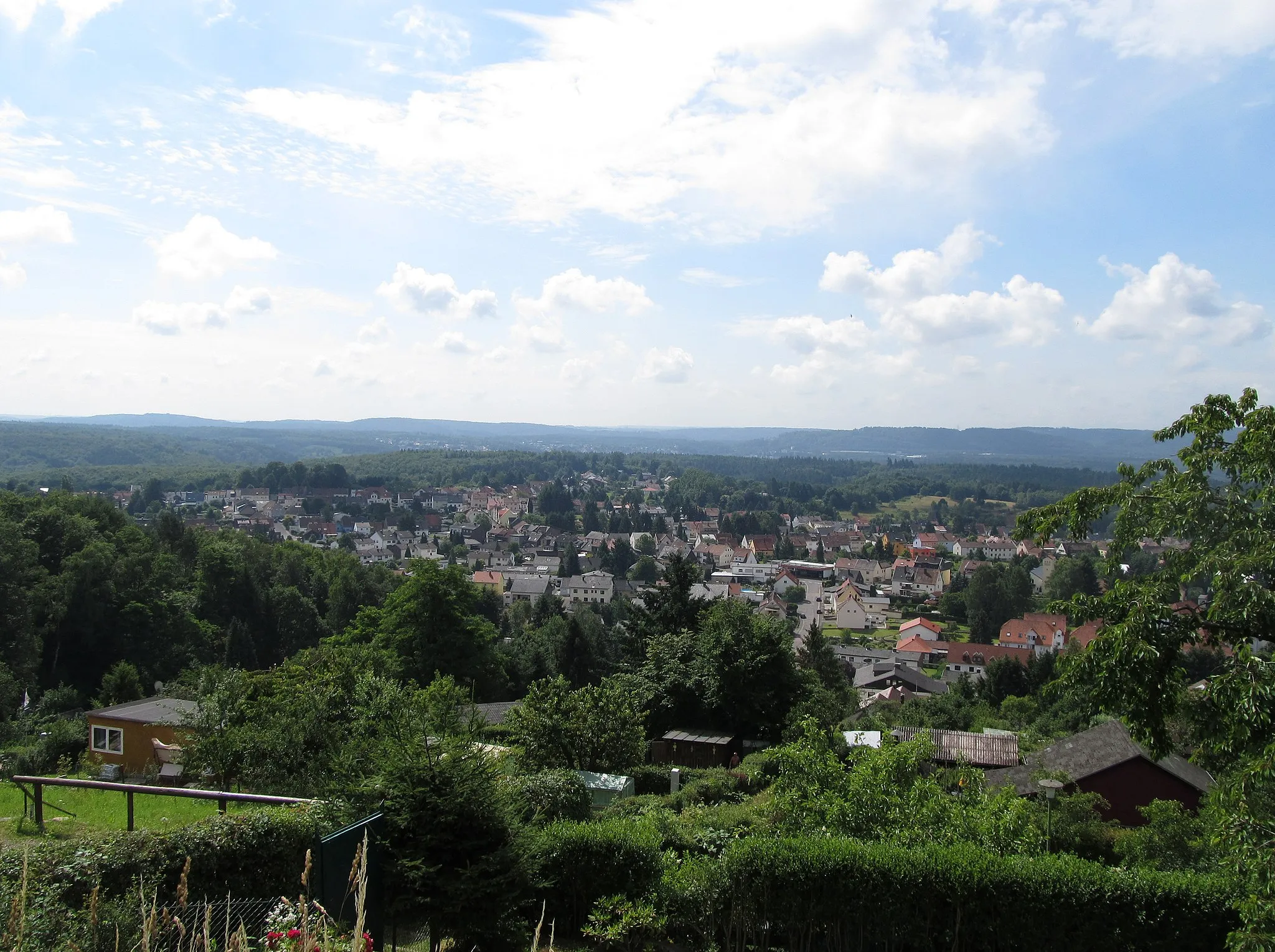
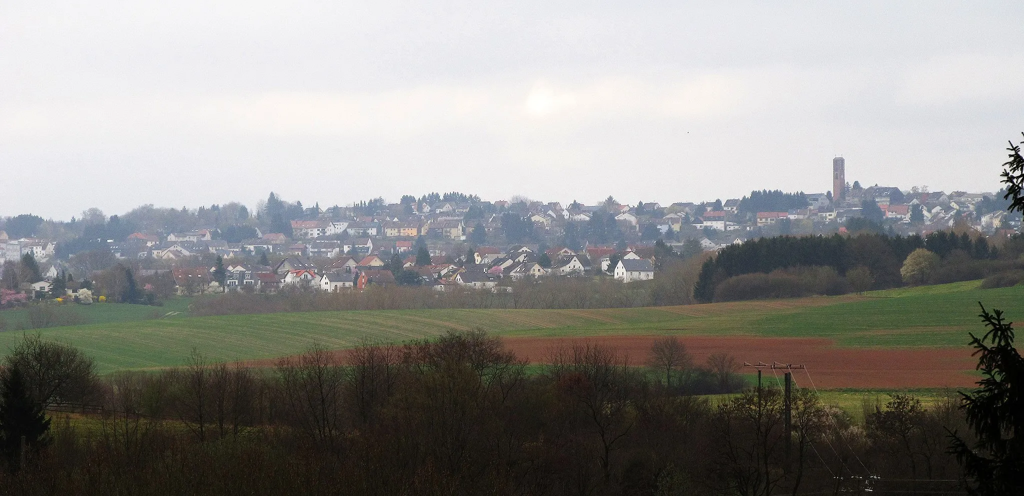
SchwarzenholzSub-urbSchwarzenholz is home to Knappenkopf, a mining site offering a glimpse into the past.
32 km
32 km
Steinberg283 mPeakSteinberg boasts scenic landscapes and forests filled with wildlife, perfect for nature lovers.
52 km
52 km
Aussichtspunkt "Auschet"380 mPeak ViewpointAussichtspunkt "Auschet" offers panoramic views of the surrounding area, showcasing its natural beauty.
56 km
56 km
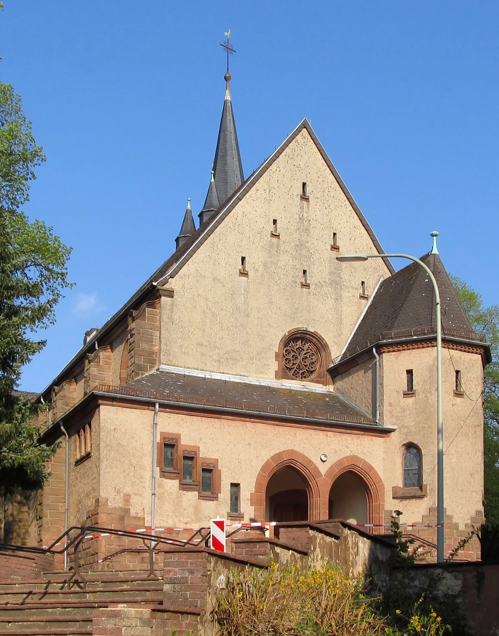
LimbachVillageLimbach is a charming village nestled between hills and is known for its beautiful, well-preserved architecture.
68 km
68 km
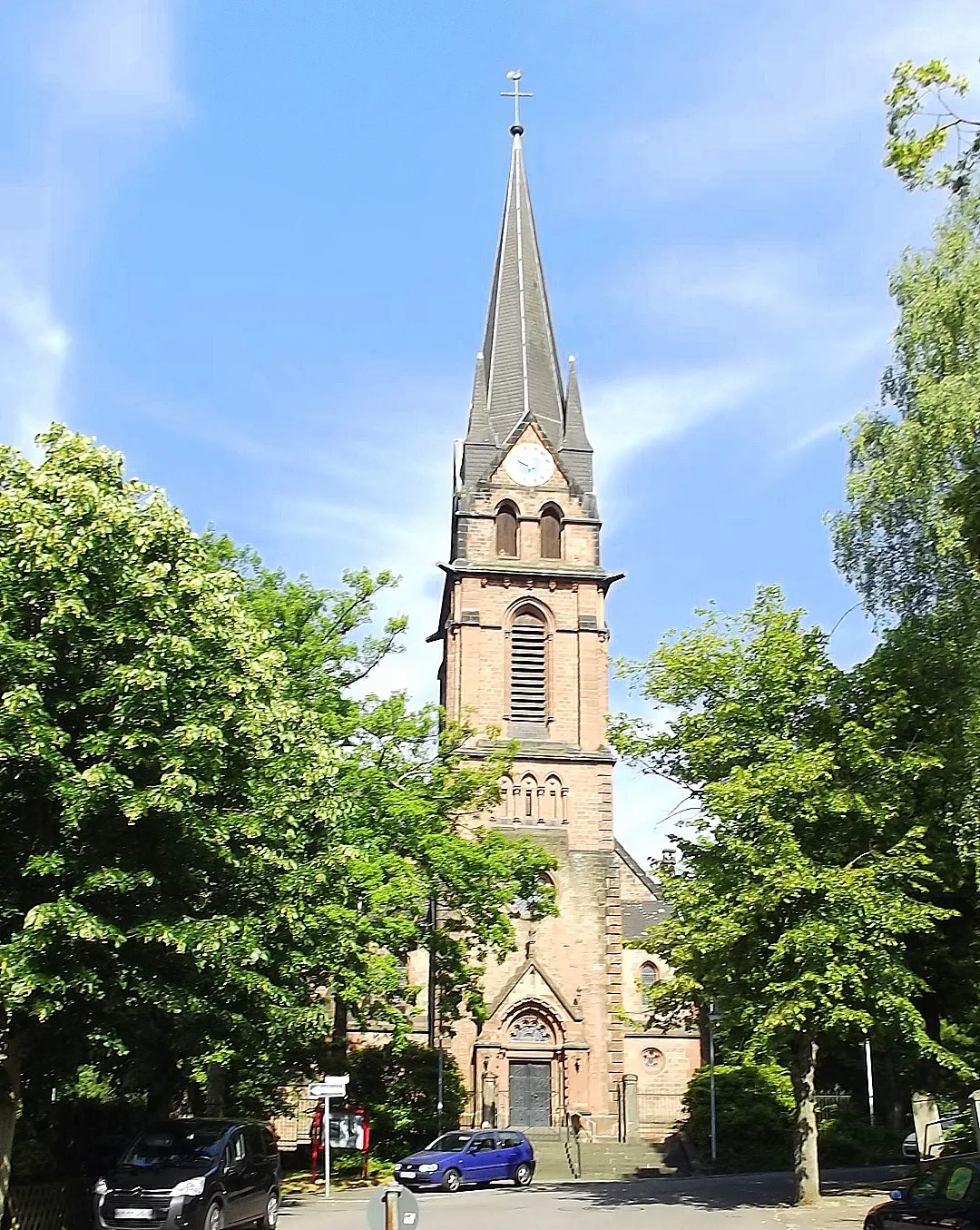
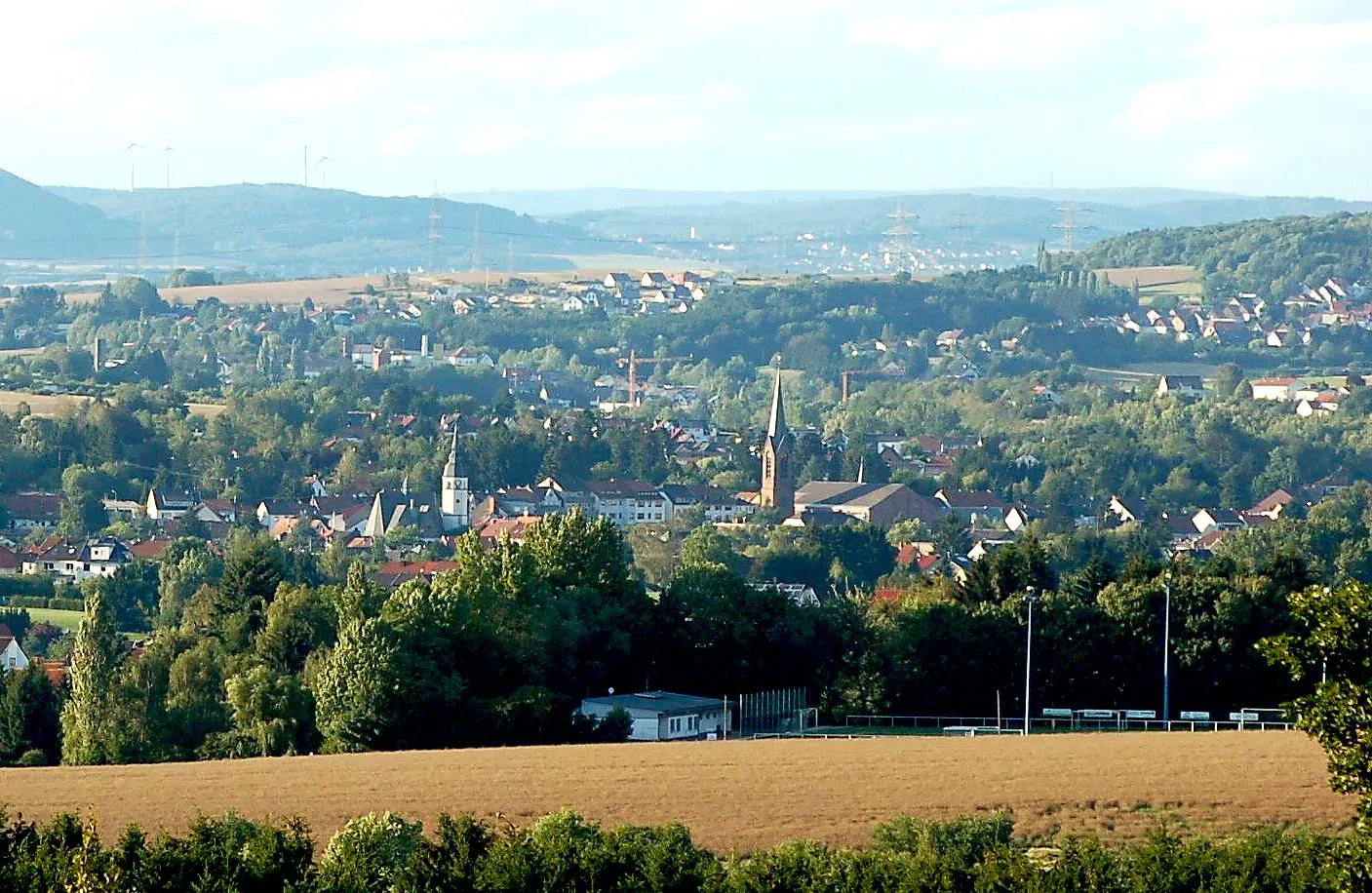
EppelbornVillageEppelborn showcases a mix of scenic beauty and cultural gems waiting to be discovered.
80 km
80 km
Göttelborner Höhe444 mPeakGöttelborner Höhe provides sweeping vistas and is a favorite among cyclists for its challenging incline.
90 km
90 km
Sulzbach/SaarTownSulzbach/Saar, the endpoint of this route, is a charming town boasting a rich history and vibrant atmosphere.
89 km
89 km
Finish: Sulzbach/Saar City centerSulzbach: Diverse terrains and off-road trails in the nearby Warndt Forest
Cycling routes from Sulzbach:
Cycling routes nearby: