Gravel Delight
A gravel cycling route starting from Sulzbach
Embark on a scenic and delightful gravel cycling expedition near Sulzbach.
Map
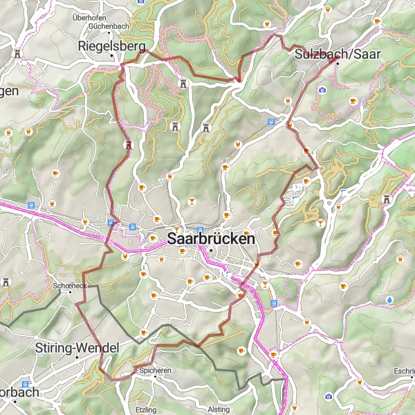
Experience the beauty of Saarland on this gravel cycling route that promises both scenic landscapes and delightful highlights along the way. With an ascent of 859 meters over a distance of 46 kilometers, this ride offers a moderate challenge suitable for gravel enthusiasts of all levels. Highlights on the route include the historic Brennender Berg, the charming Kaninchenberg, and the picturesque Spicheren. Finish the journey in Sulzbach/Saar, where you can soak in the local culture and explore the town's intriguing history. Overall, this route guarantees a joyful gravel cycling adventure through Saarland's magnificent scenery.
gravel
46 km
859 m
Tough
Route profile
Highlights on the route
0 km
0 km
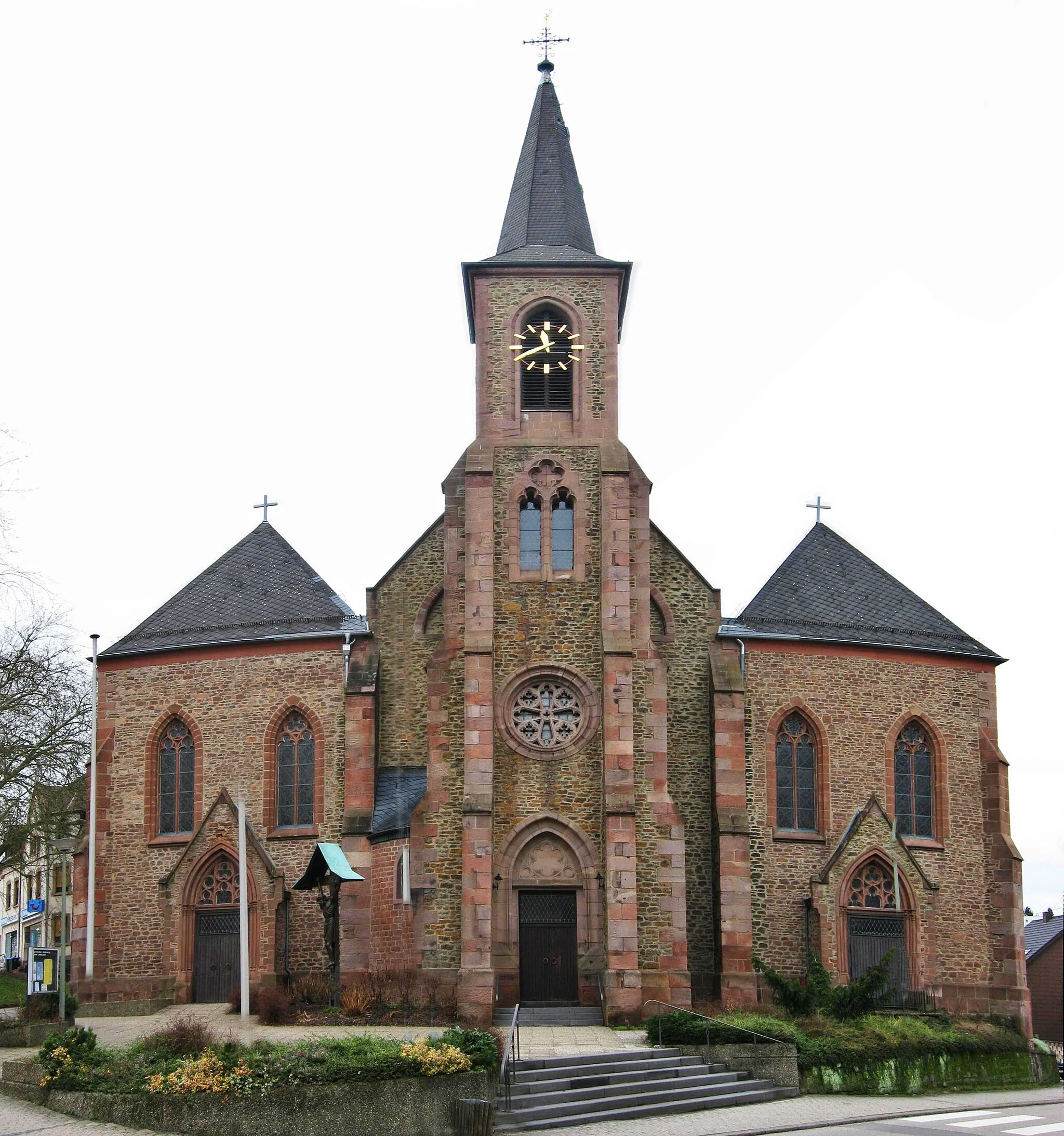
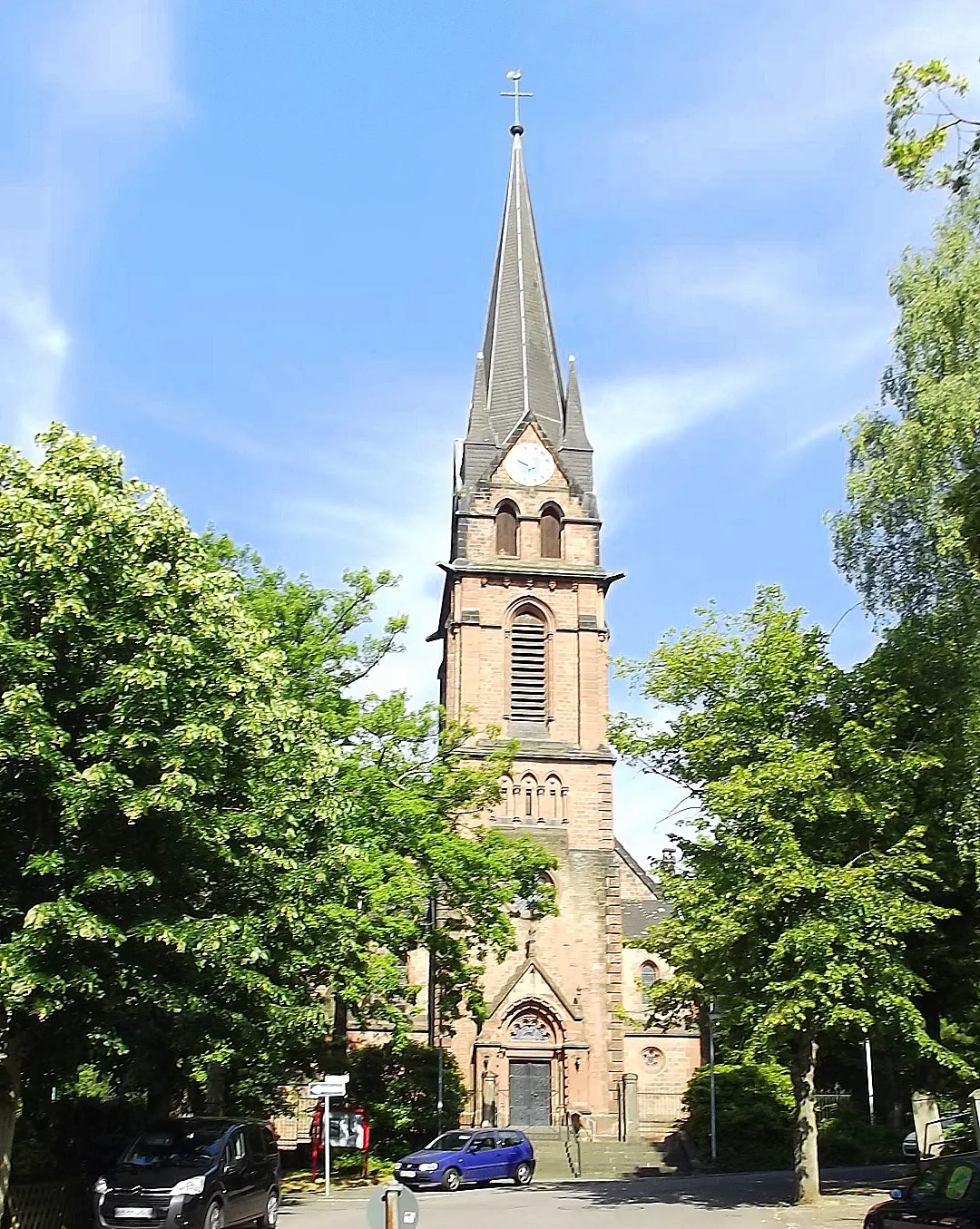
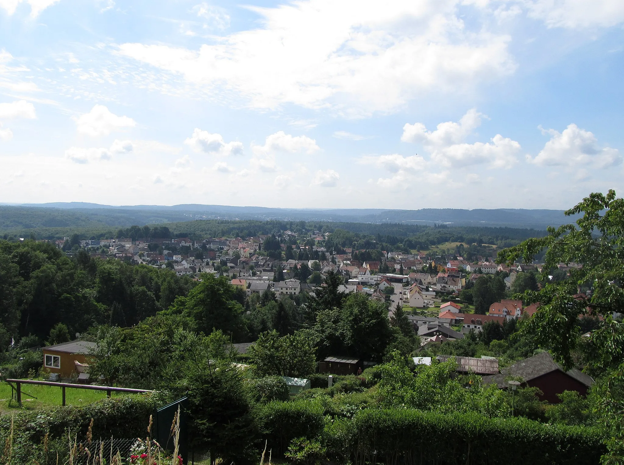
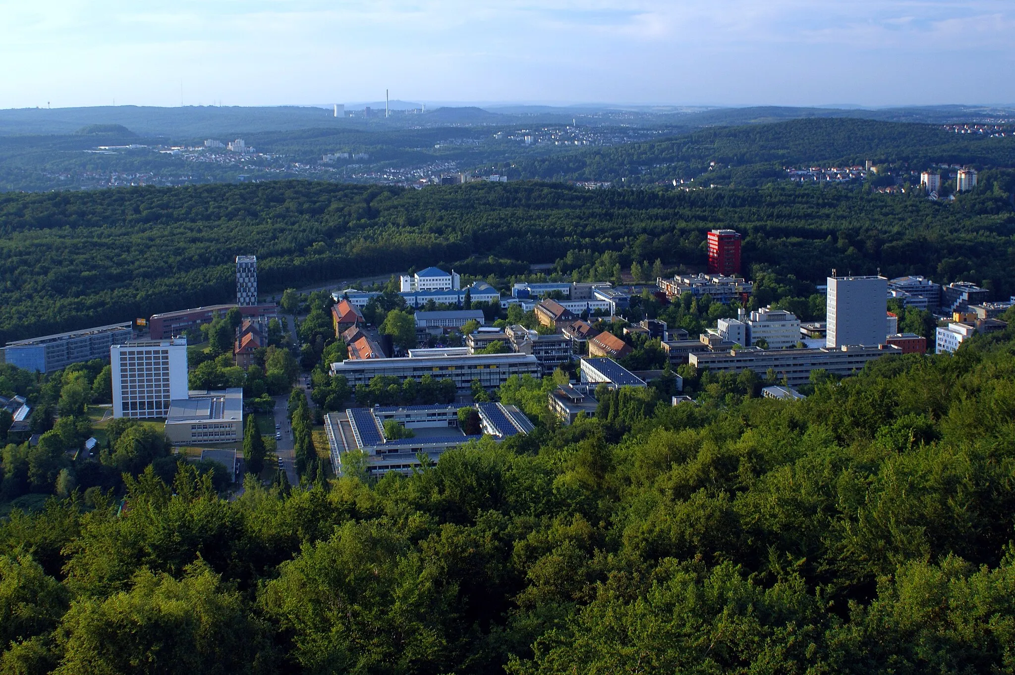
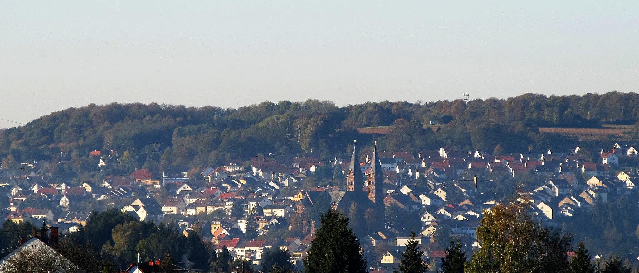
Start: Sulzbach/Saar City centerSulzbach: Diverse terrains and off-road trails in the nearby Warndt Forest
Sulzbach is a locality located in Saarland, Germany. From a cyclist's perspective, Sulzbach offers a mix of flat and hilly terrains, suitable for cyclists of different skill levels. The region is known for its lush forests and beautiful countryside, providing cyclists with scenic routes and tranquil surroundings. One notable cycling spot nearby is the Warndt Forest, which offers off-road cycling trails for adventurous cyclists. Overall, Sulzbach is a cycling-friendly area with diverse routes and opportunities for both on-road and off-road cycling.1 km
1 km
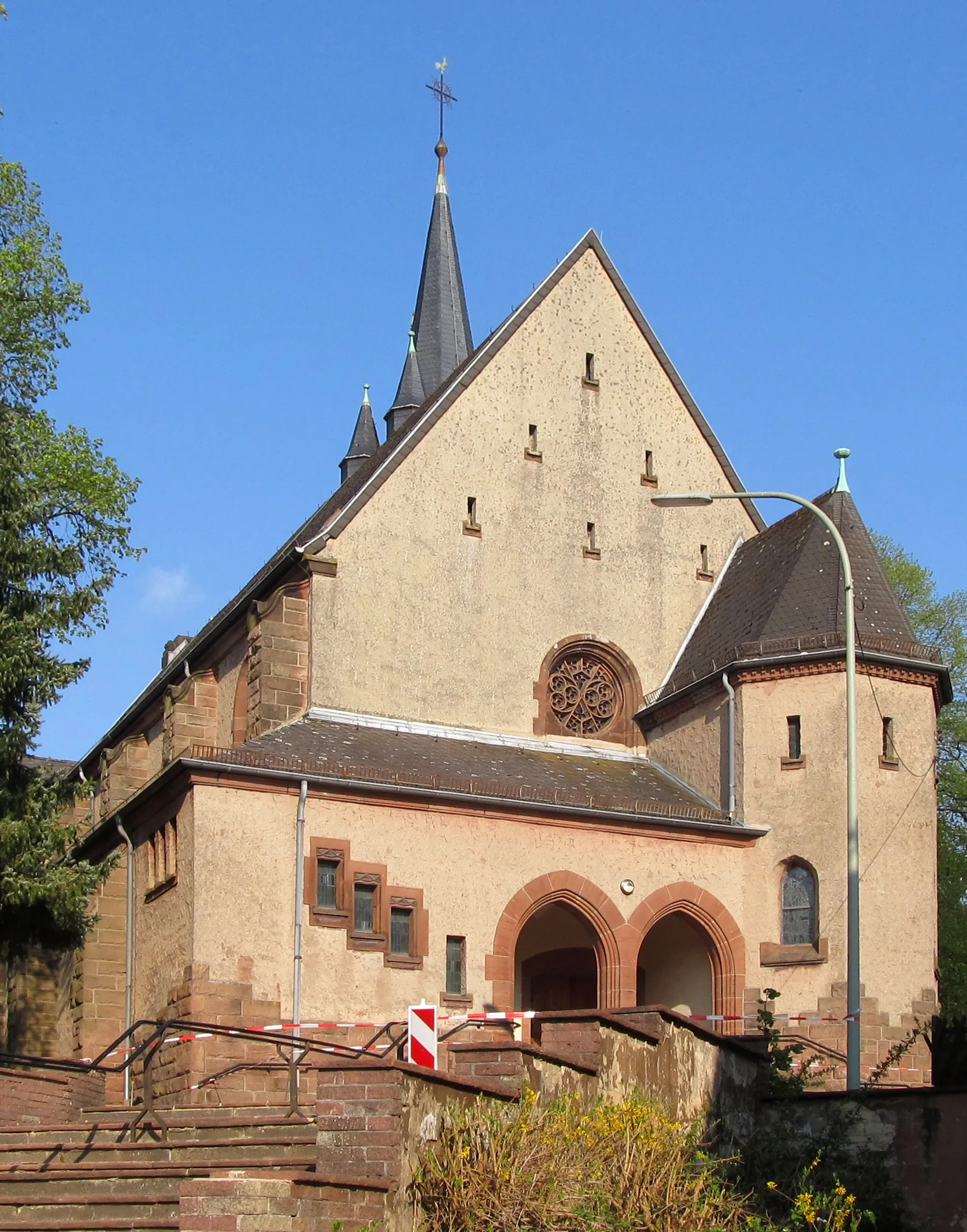
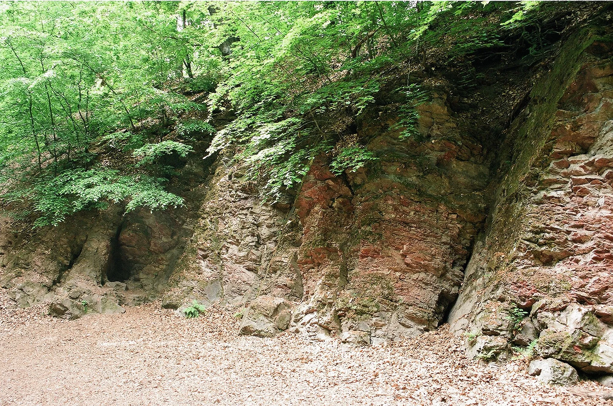
Brennender BergAttraction11 km
11 km
Kaninchenberg265 mPeakPass through Kaninchenberg, a small hill with scenic views and rich historical significance.
18 km
18 km
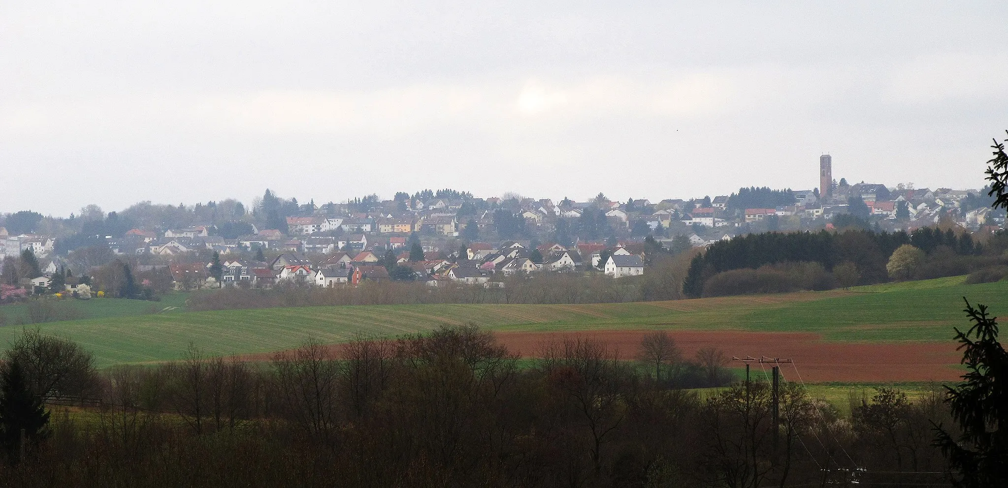
SpicherenVillageDiscover Spicheren, a quaint village known for its charming houses and historical sites.
19 km
19 km
Pfaffenberg357 mPeakCycle past the Pfaffenberg, a hill that offers panoramic vistas of the Saarland countryside.
35 km
35 km
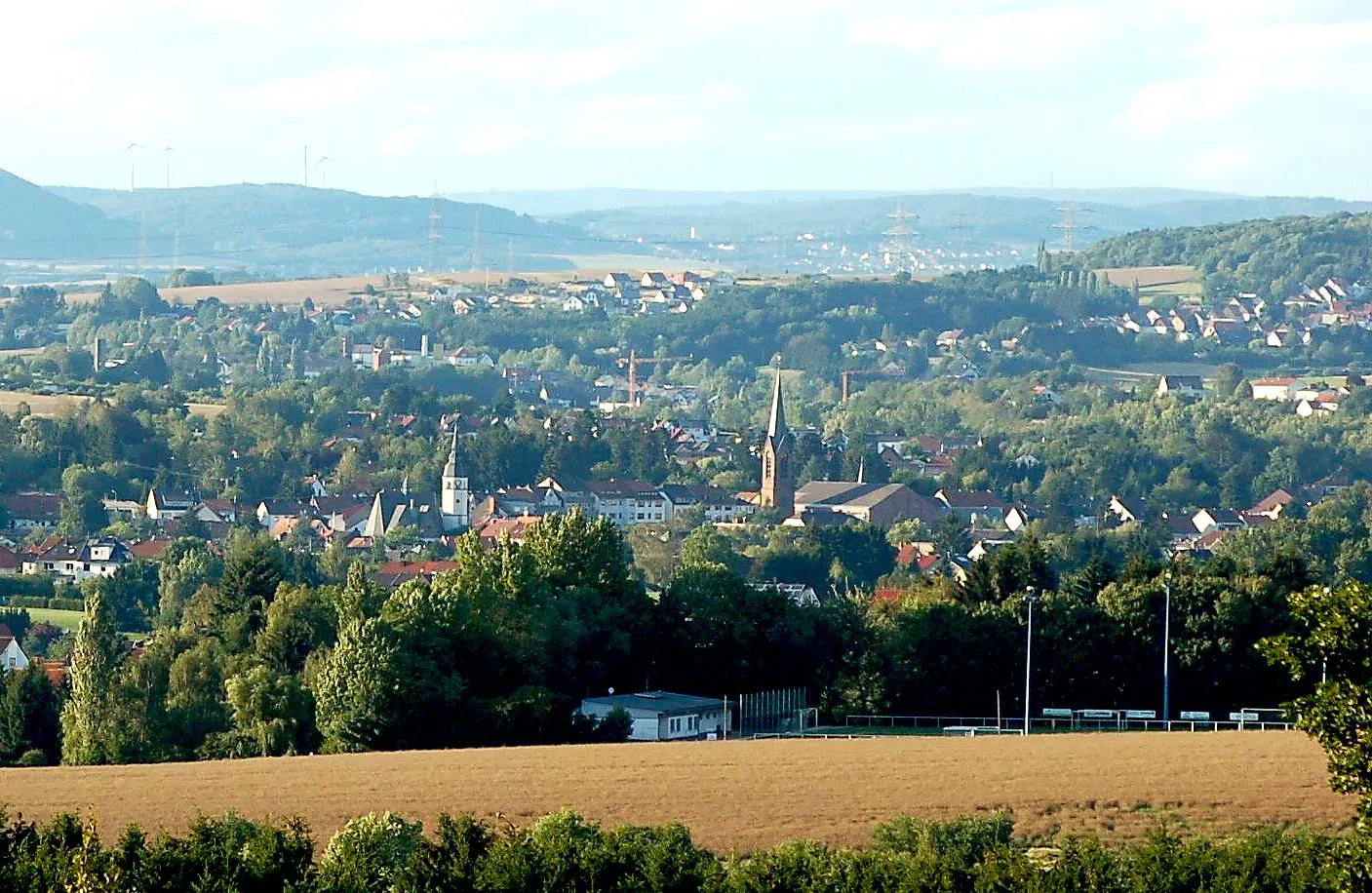
RiegelsbergTownStop at Riegelsberg and enjoy the relaxed atmosphere of this delightful village.
36 km
36 km
Kasberg378 mPeakClimb the Kasberg and savor the breathtaking views from its summit.
41 km
41 km
Releeberg340 mPeakRide along the slopes of Releeberg and enjoy the scenic winding roads.
46 km
46 km
HühnerfeldSub-urbExplore Hühnerfeld, a charming village with well-preserved historical buildings and a welcoming atmosphere.
46 km
46 km
Finish: Sulzbach/Saar City centerSulzbach: Diverse terrains and off-road trails in the nearby Warndt Forest
Cycling routes from Sulzbach:
Cycling routes nearby: