Brennender Berg to Hühnerfeld Road Route
A road cycling route starting from Sulzbach
Discover historical landmarks and scenic views on this family-friendly route
Map
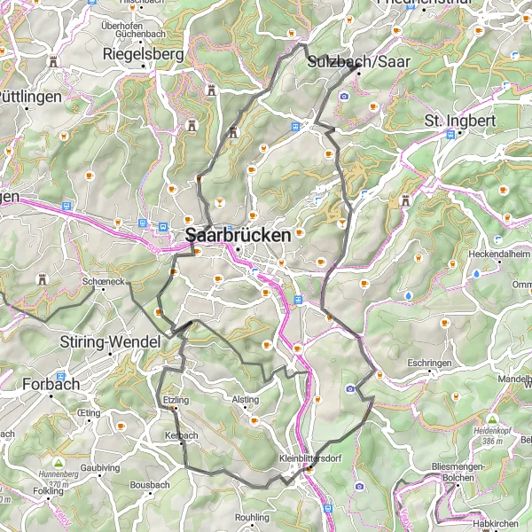
This road cycling route from Brennender Berg to Hühnerfeld covers a distance of 54 kilometers with an ascent of 697 meters. Perfect for families and leisure cyclists, it offers a mix of historical landmarks and scenic views.
road
54 km
697 m
Chill
Route profile
Highlights on the route
0 km
0 km
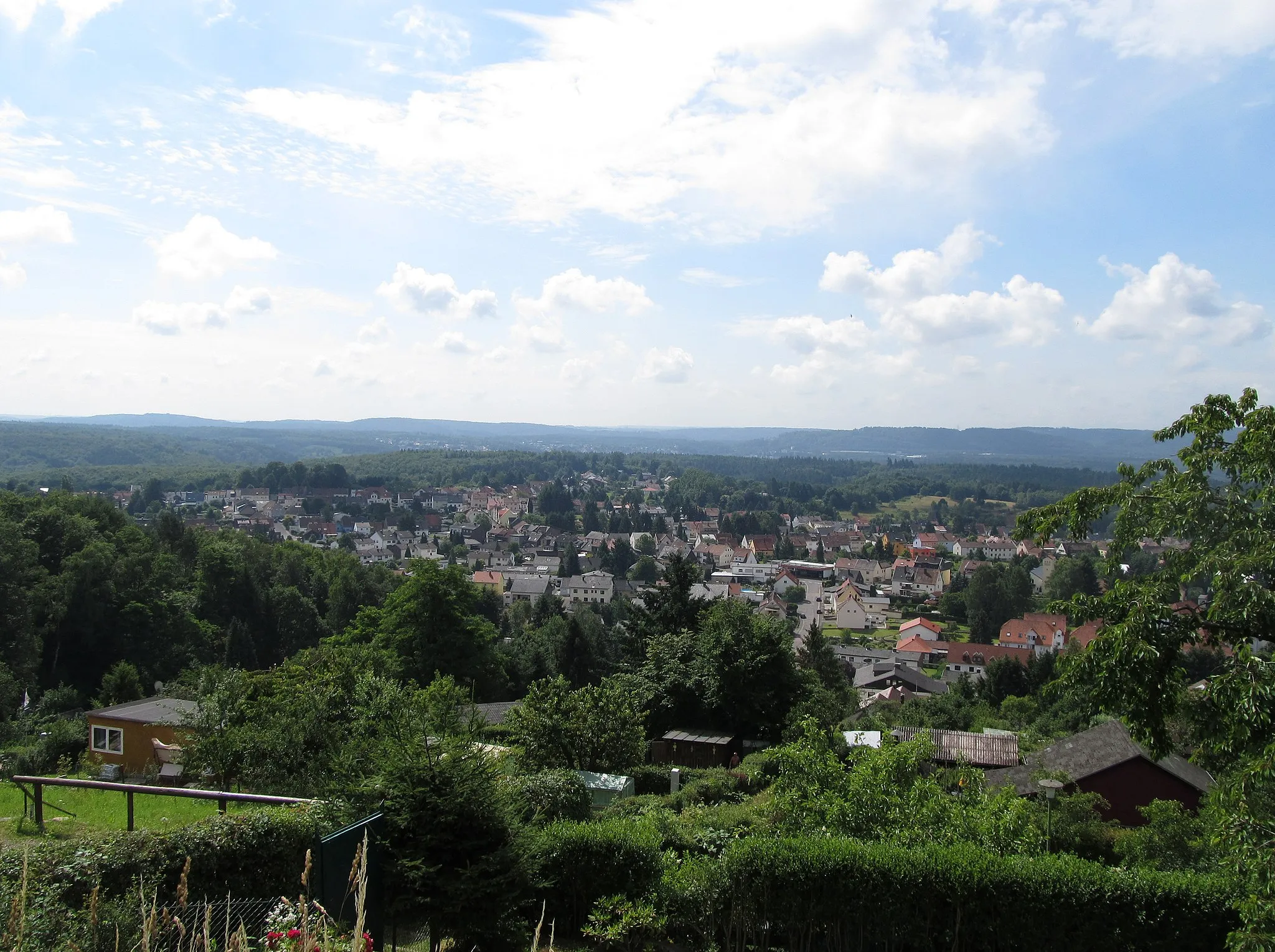
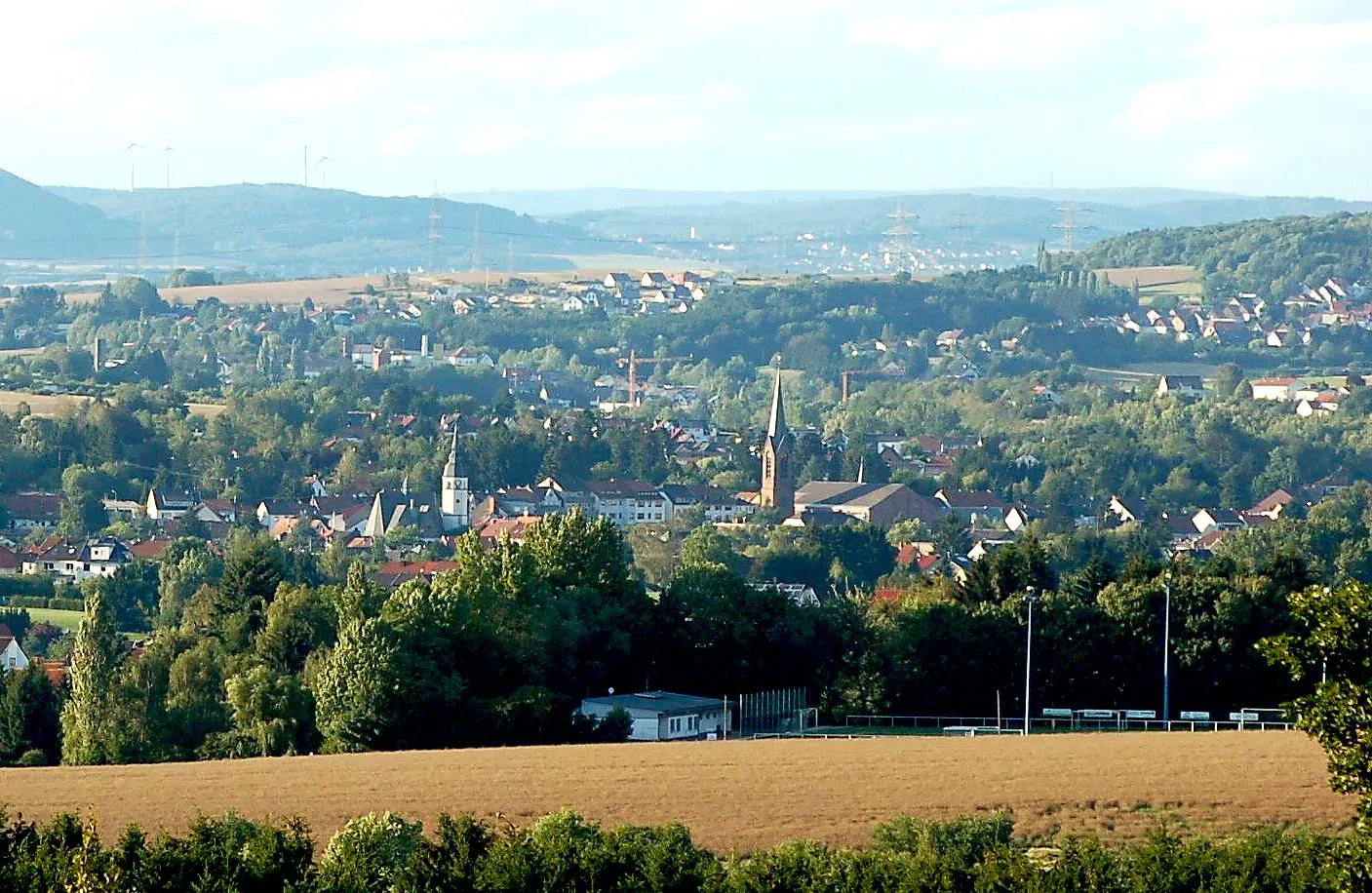
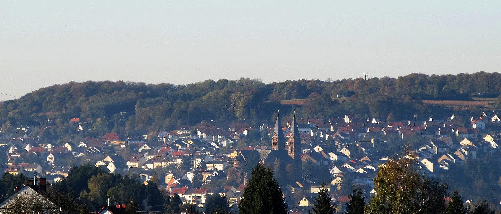
Start: Sulzbach/Saar City centerSulzbach: Diverse terrains and off-road trails in the nearby Warndt Forest
Sulzbach is a locality located in Saarland, Germany. From a cyclist's perspective, Sulzbach offers a mix of flat and hilly terrains, suitable for cyclists of different skill levels. The region is known for its lush forests and beautiful countryside, providing cyclists with scenic routes and tranquil surroundings. One notable cycling spot nearby is the Warndt Forest, which offers off-road cycling trails for adventurous cyclists. Overall, Sulzbach is a cycling-friendly area with diverse routes and opportunities for both on-road and off-road cycling.1 km
1 km
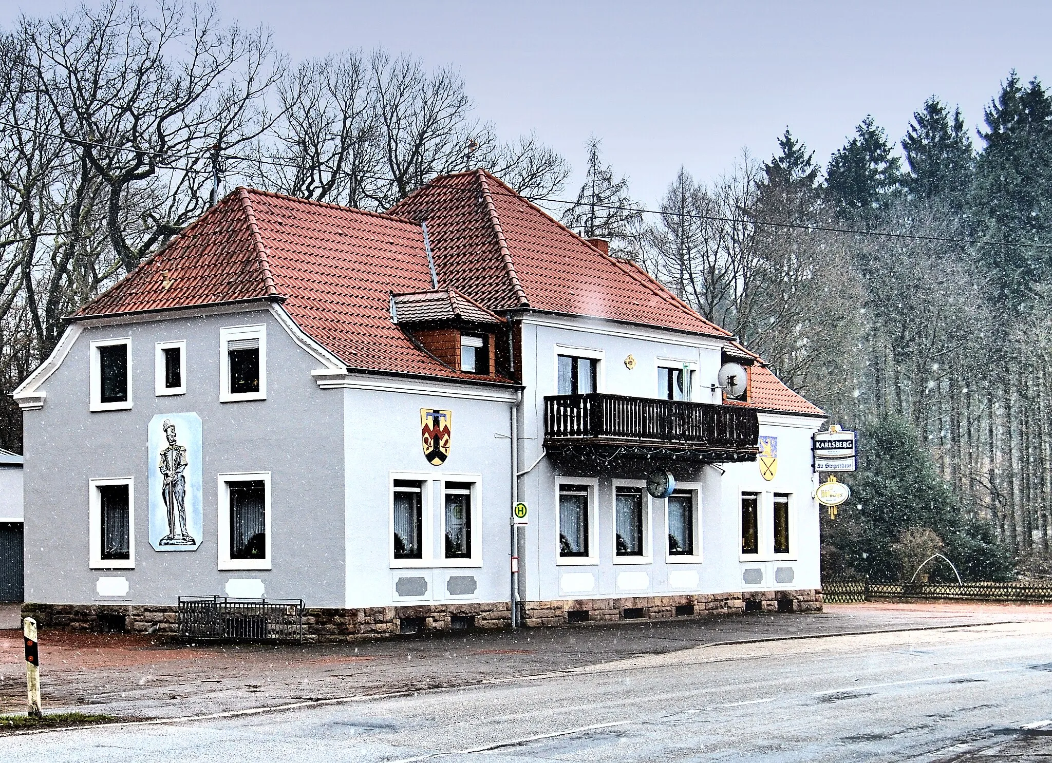
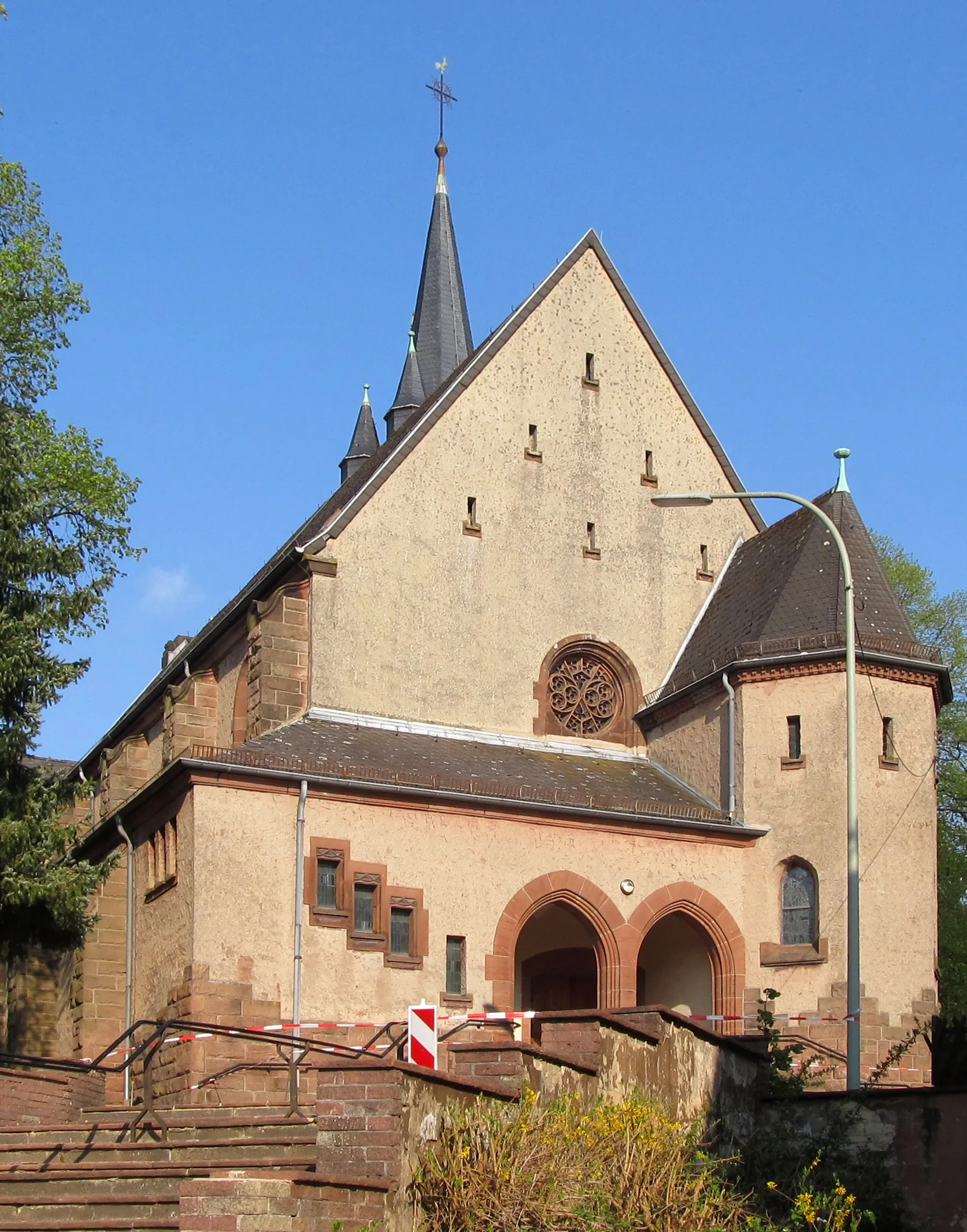
Brennender BergAttractionBrennender Berg is a historic landmark offering visitors a glimpse into the region's mining heritage.
8 km
8 km
Eschberg363 mPeakEschberg treats cyclists with stunning panoramic views and beautiful natural surroundings.
18 km
18 km
Auberg360 mPeakAuberg provides a cycling experience through picturesque landscapes and enchanting forests.
28 km
28 km
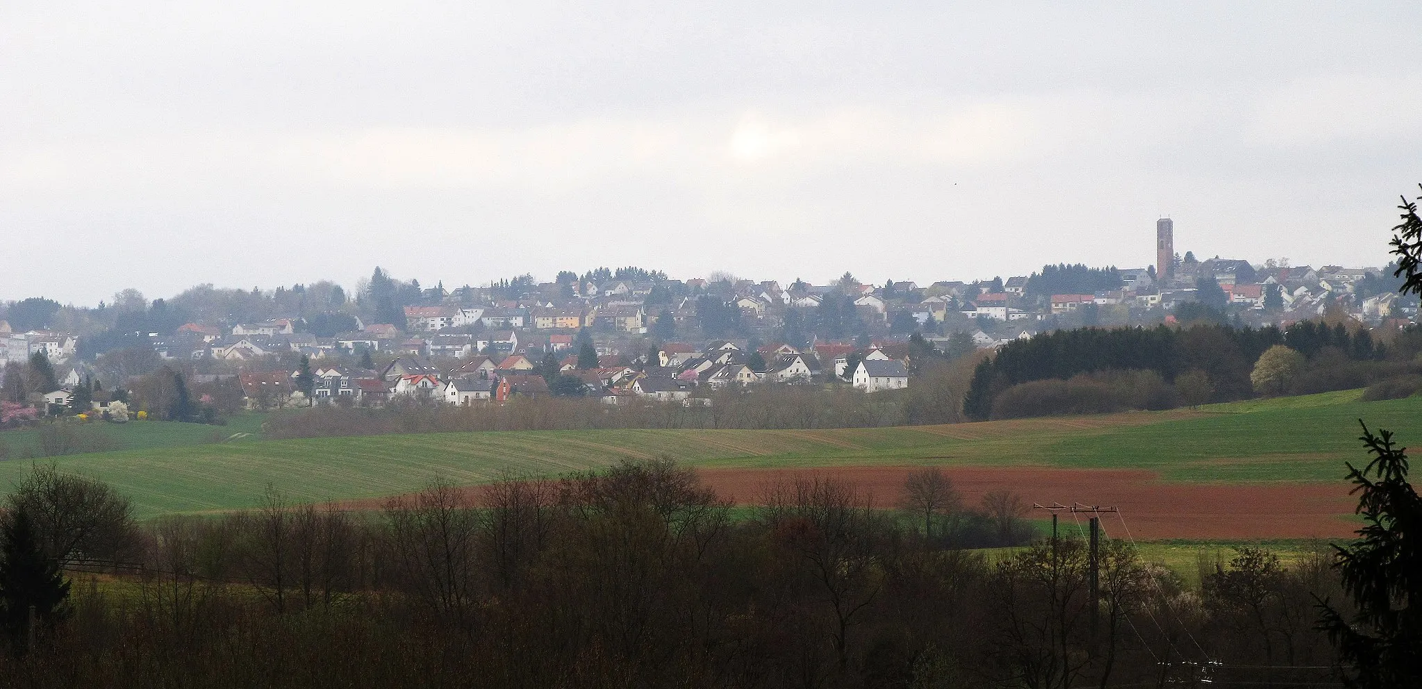
KerbachVillageKerbach is a quaint village surrounded by nature, making it an ideal stop for relaxation.
35 km
35 km
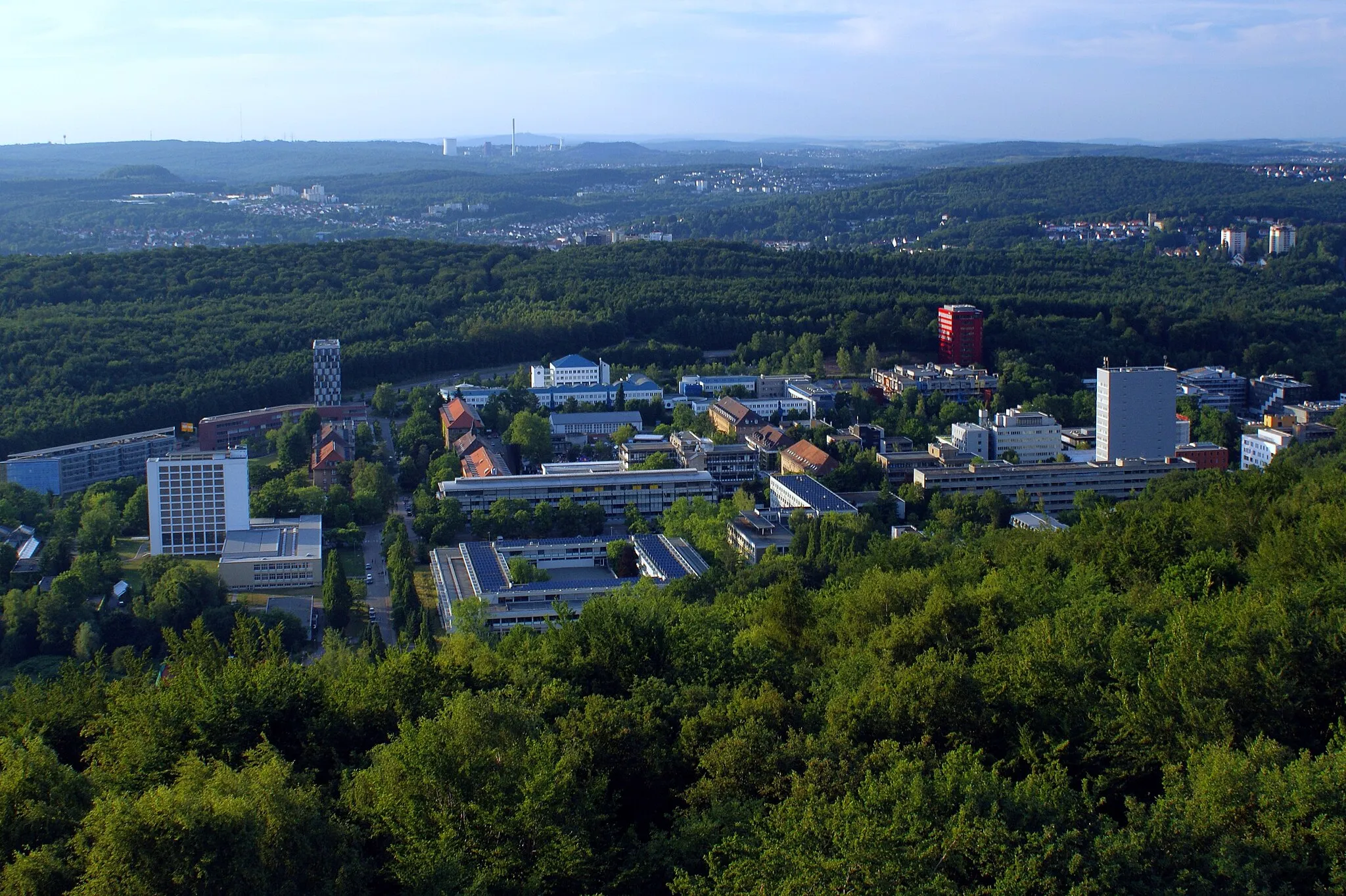
Gedenkstätte „Ehemaliges Gestapo-Lager Neue Bremm“AttractionGedenkstätte „Ehemaliges Gestapo-Lager Neue Bremm“ offers a look into the region's WWII history.
50 km
50 km
Releeberg340 mPeakReleeberg boasts stunning views and picnic spots, offering a place to recharge.
53 km
53 km
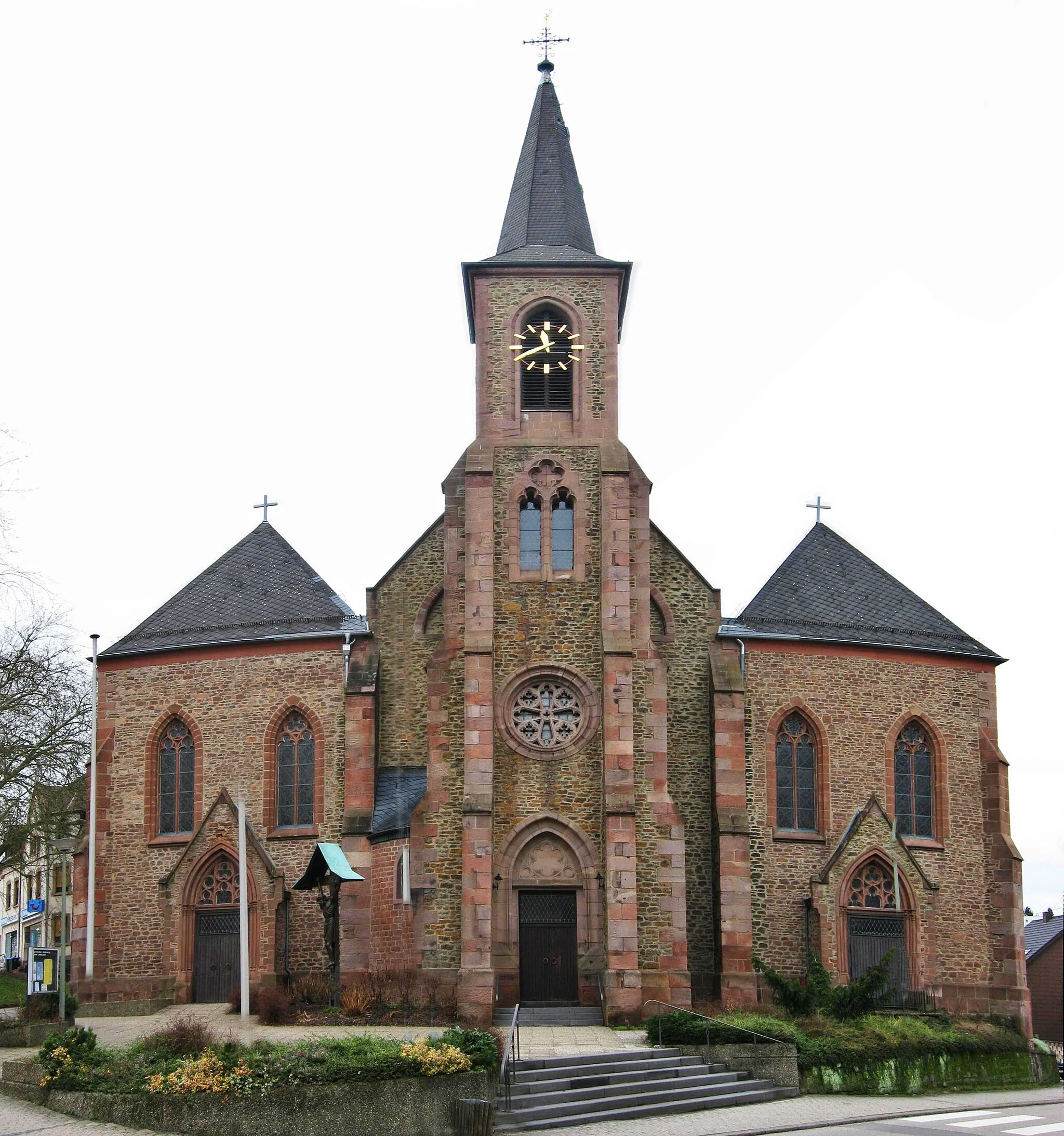
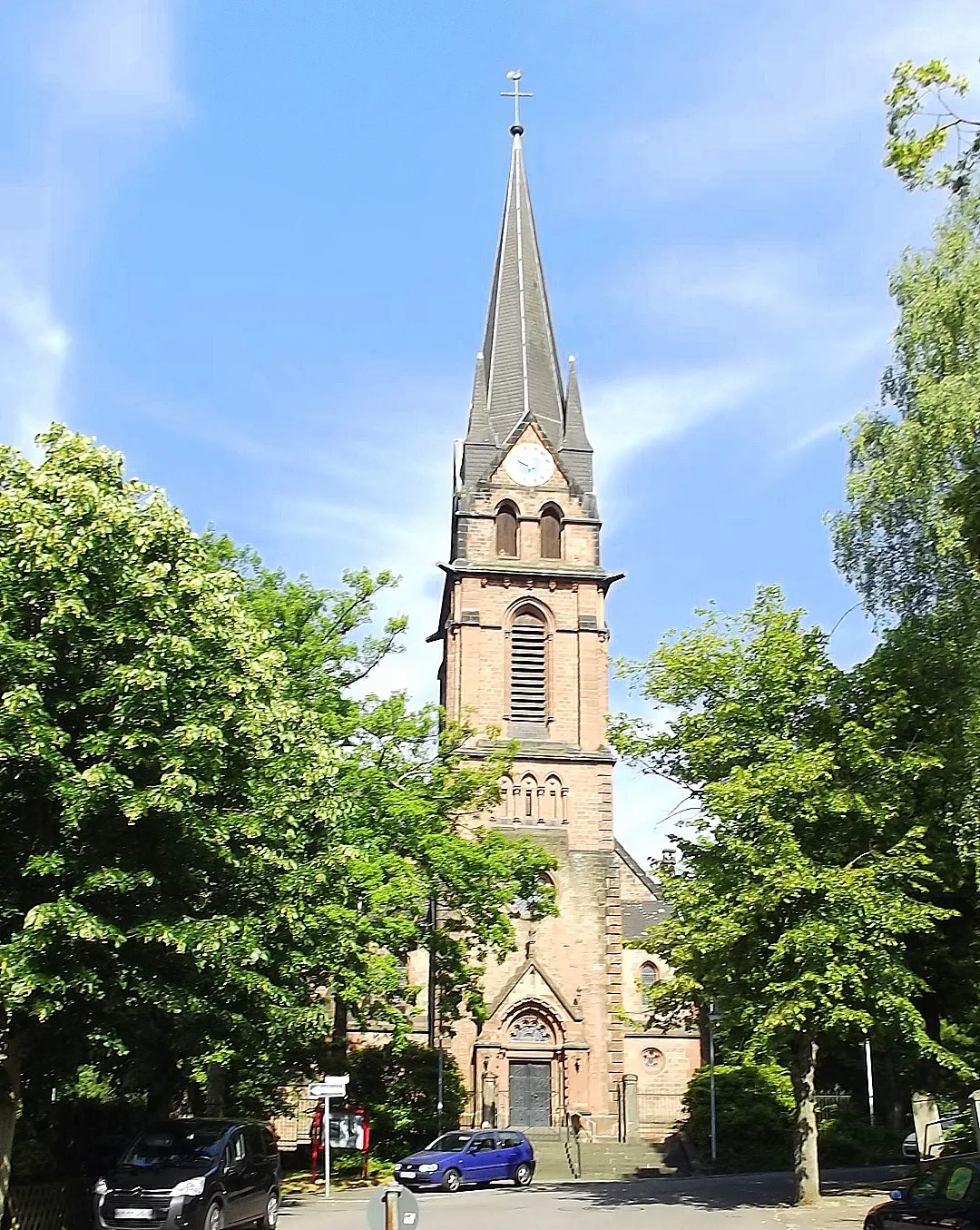
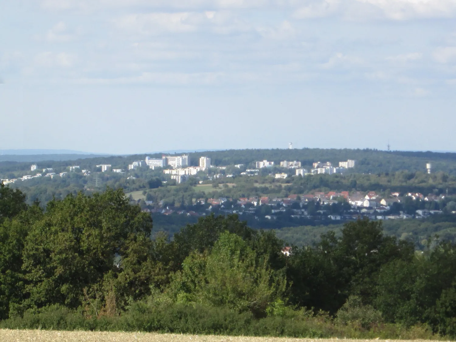
HühnerfeldSub-urbHühnerfeld is known for its idyllic landscapes and is perfect for a leisurely cycling tour.
54 km
54 km
Finish: Sulzbach/Saar City centerSulzbach: Diverse terrains and off-road trails in the nearby Warndt Forest
Cycling routes from Sulzbach:
Cycling routes nearby: