Riegelsberg to Quierschied Road Route
A road cycling route starting from Sulzbach
Cycle through historic towns and enjoy stunning views
Map
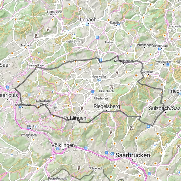
This road cycling route takes you from Riegelsberg to Quierschied, passing through picturesque towns and offering breathtaking views along the way. The route covers a distance of 62 kilometers with an ascent of 879 meters. It is suitable for well-trained amateur cyclists.
road
62 km
879 m
Tough
Route profile
Highlights on the route
0 km
0 km
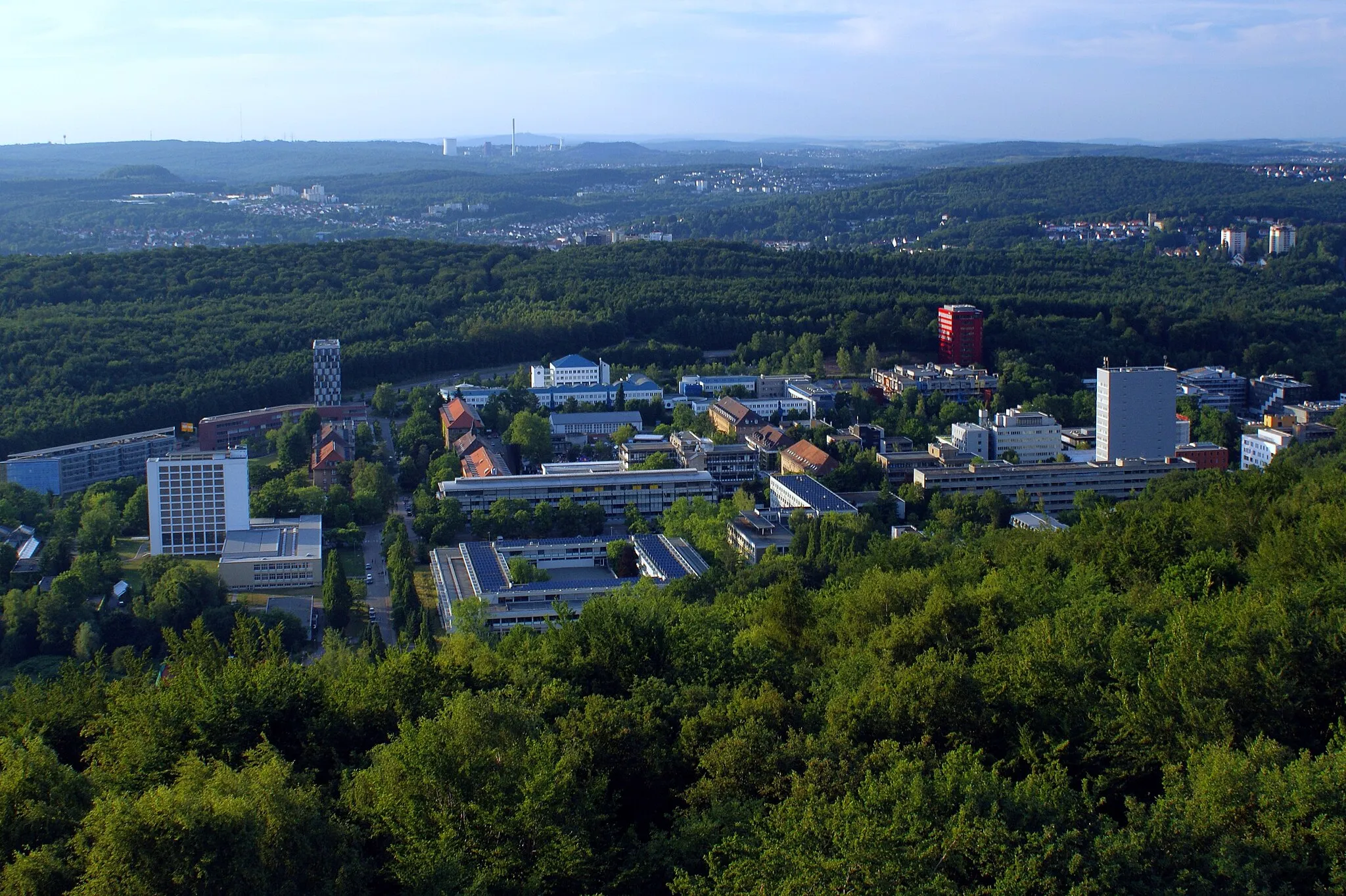
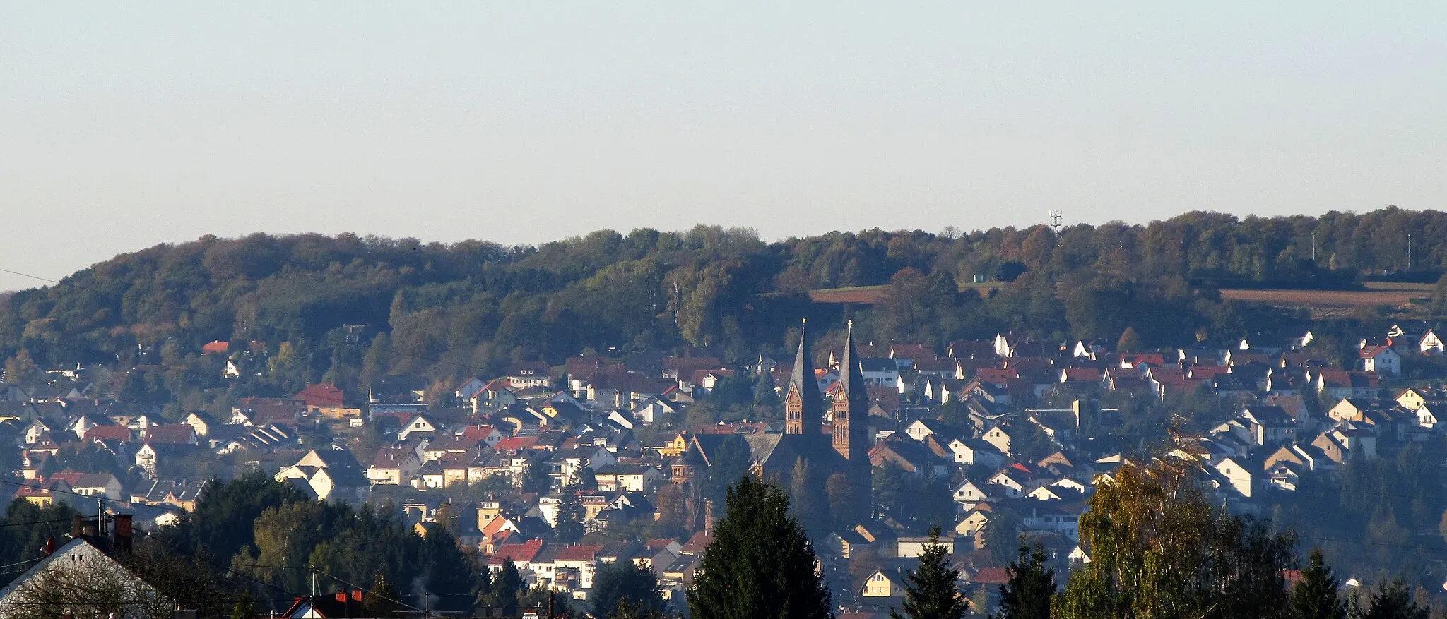
Start: Sulzbach/Saar City centerSulzbach: Diverse terrains and off-road trails in the nearby Warndt Forest
Sulzbach is a locality located in Saarland, Germany. From a cyclist's perspective, Sulzbach offers a mix of flat and hilly terrains, suitable for cyclists of different skill levels. The region is known for its lush forests and beautiful countryside, providing cyclists with scenic routes and tranquil surroundings. One notable cycling spot nearby is the Warndt Forest, which offers off-road cycling trails for adventurous cyclists. Overall, Sulzbach is a cycling-friendly area with diverse routes and opportunities for both on-road and off-road cycling.11 km
11 km
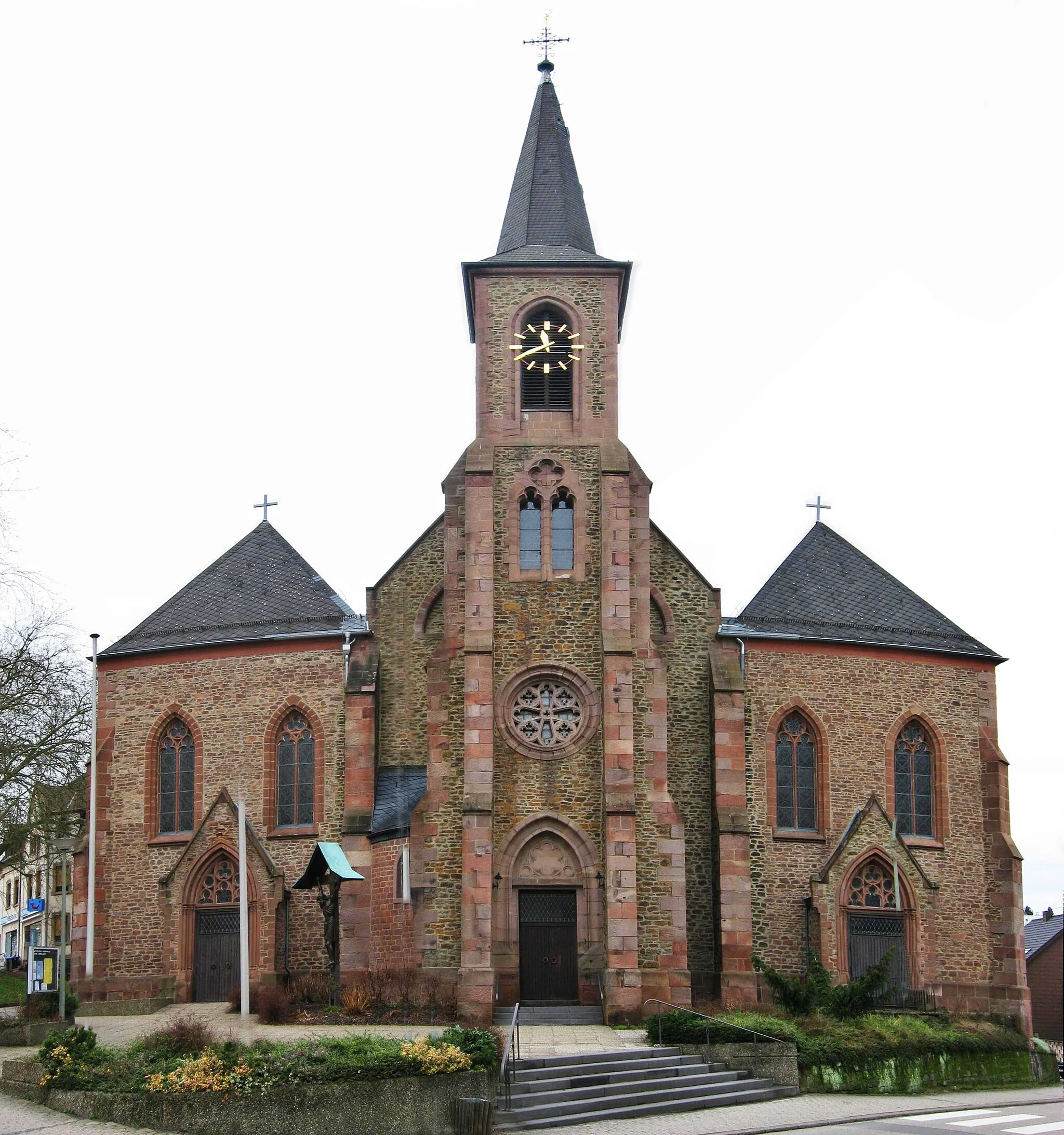
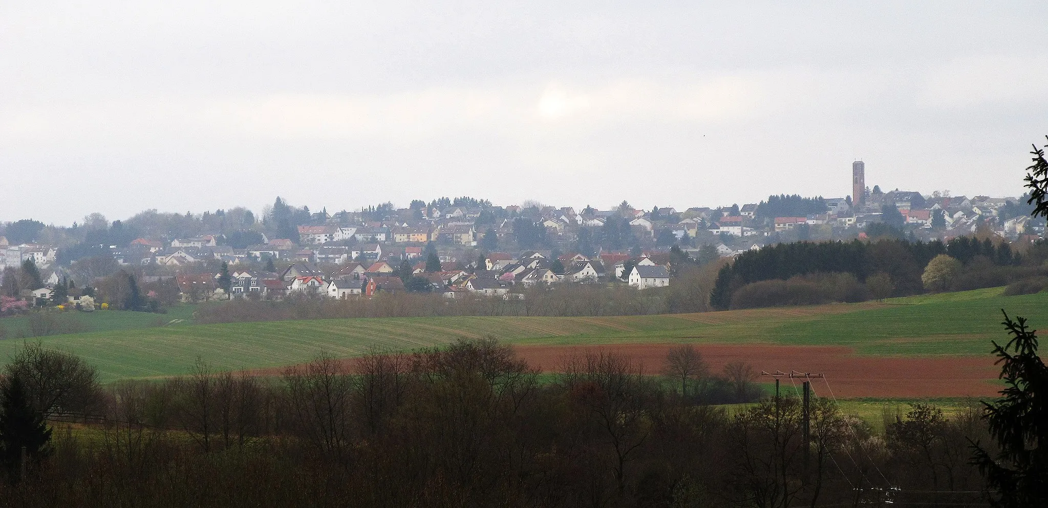
RiegelsbergTownStop by Riegelsberg to explore its fascinating history and charming architecture.
13 km
13 km
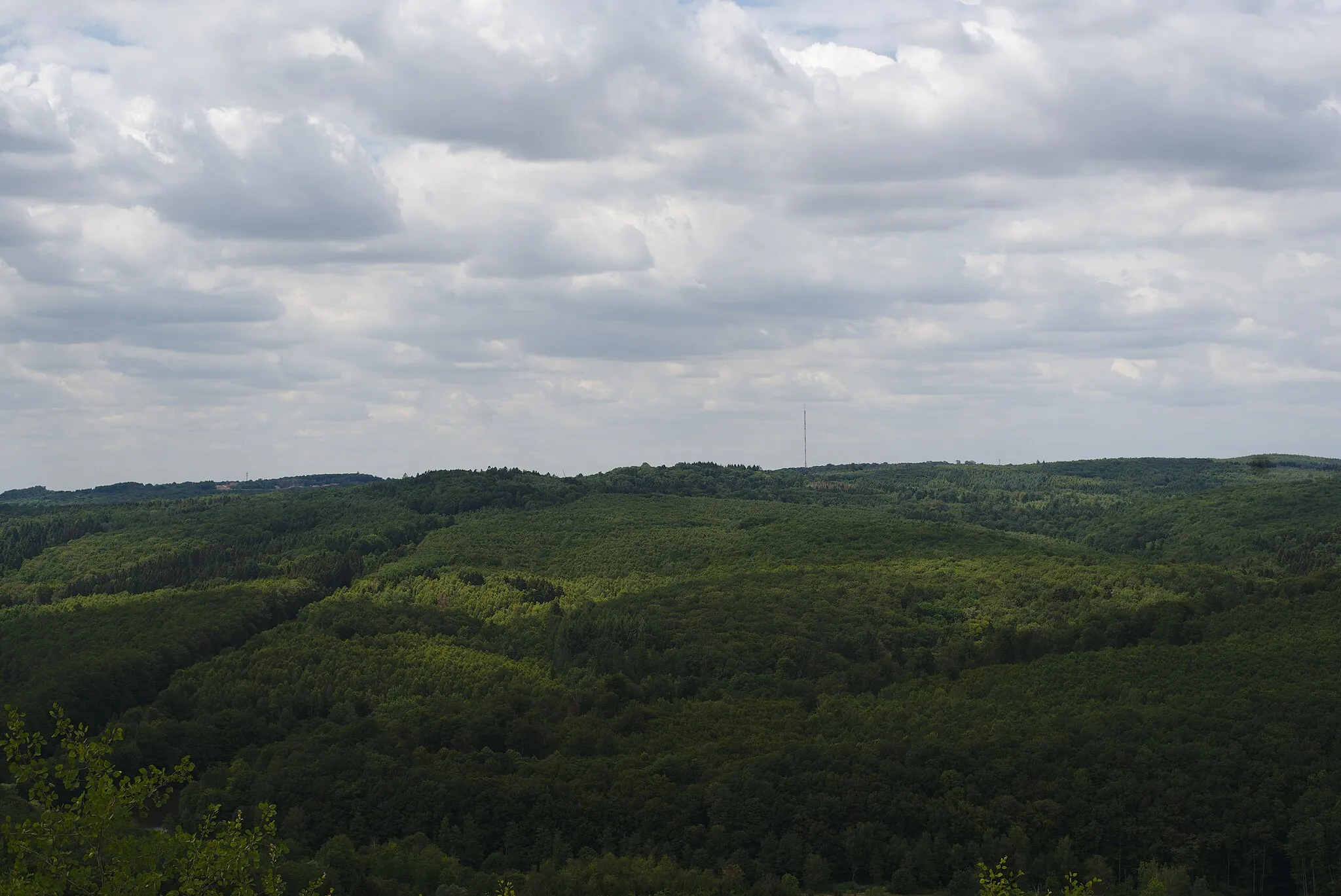
Schoksberg376 mPeakSchoksberg offers scenic views and a peaceful atmosphere, perfect for a pit stop.
26 km
26 km
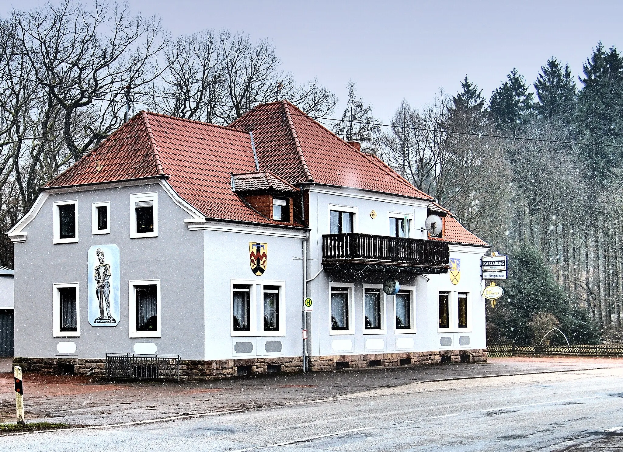
Ensdorf/SaarVillageEnsdorf/Saar is a must-visit with its beautiful surroundings and tranquil ambience.
28 km
28 km
SaarpolygonViewpointDon't miss the Saarpolygon, a unique architectural landmark symbolizing the region's mining history.
33 km
33 km
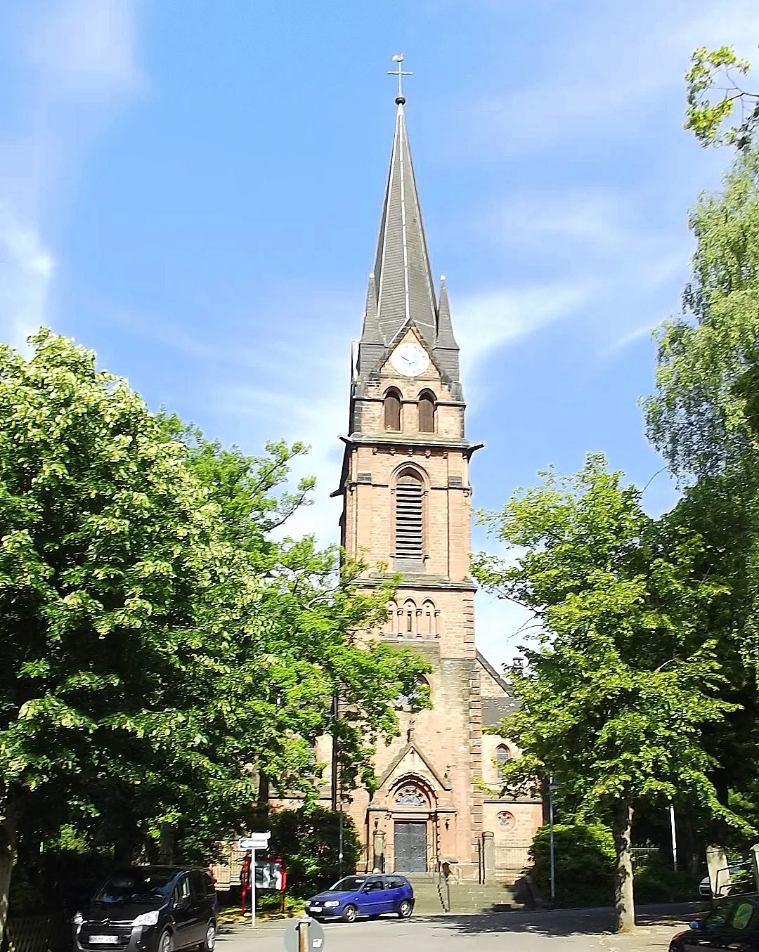
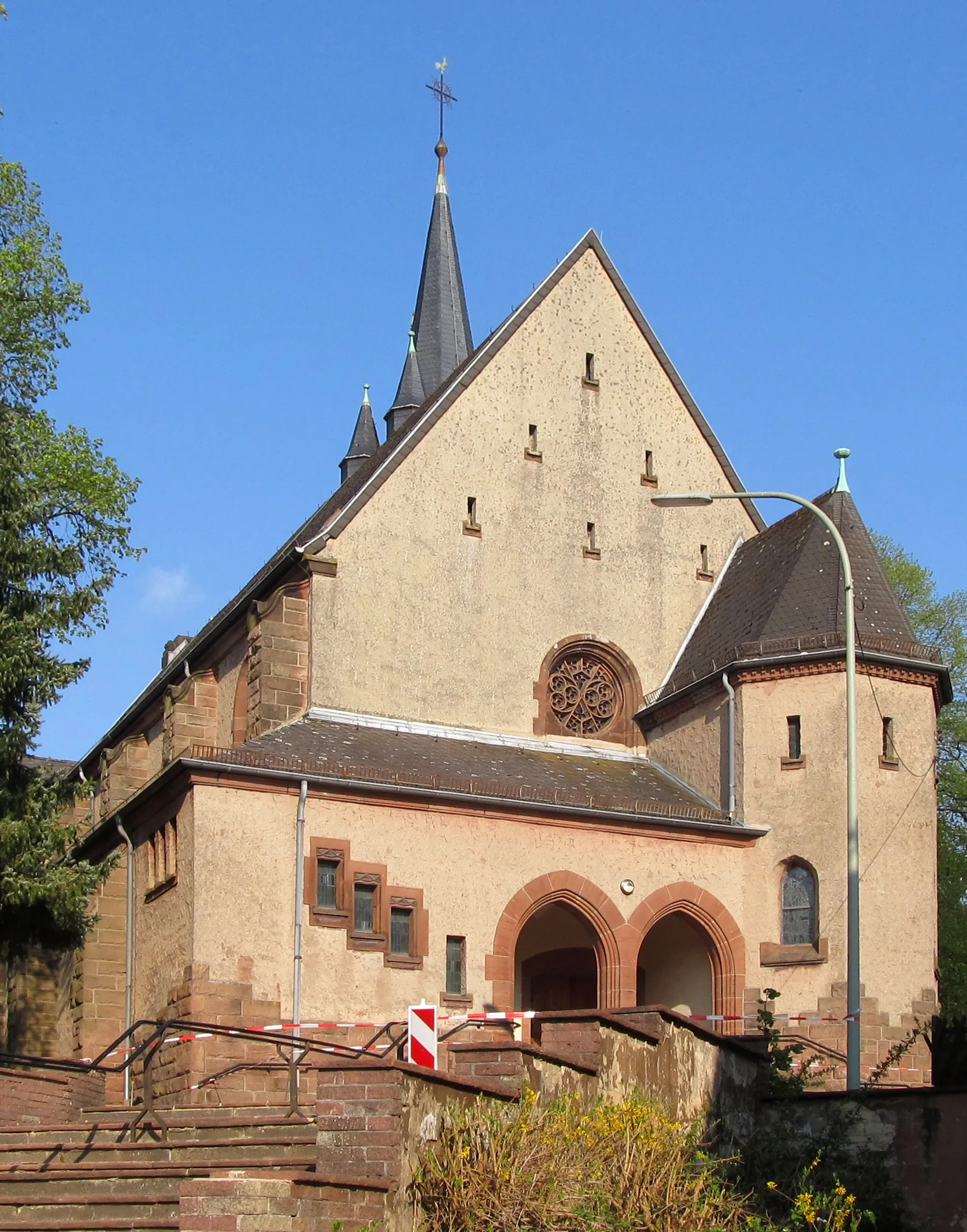
SaarwellingenVillageCycle through Saarwellingen and soak in its rich cultural heritage and stunning landscapes.
39 km
39 km
"Kleine Saarschleife"ViewpointMake a detour to the "Kleine Saarschleife" and be amazed by the natural beauty of the river loop.
53 km
53 km
Göttelborner Höhe444 mPeakGöttelborner Höhe offers panoramic views of the surrounding countryside and is worth the climb.
58 km
58 km
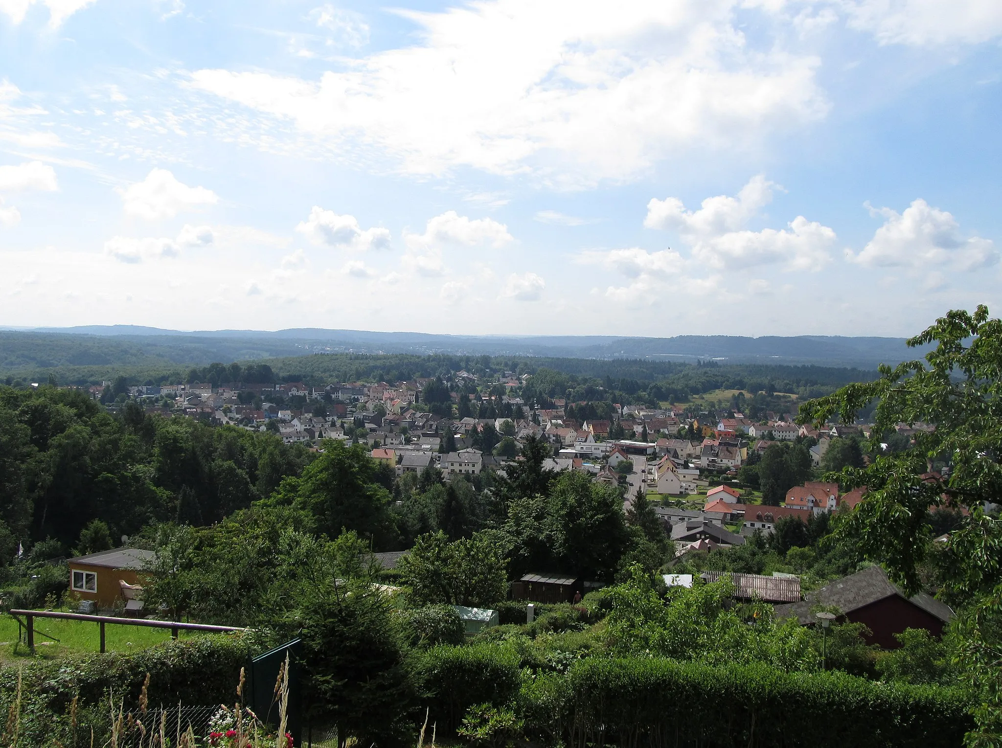
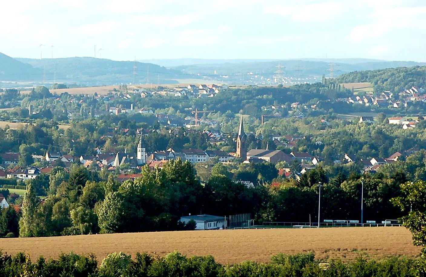
QuierschiedVillageQuierschied is a charming town with a picturesque town center and various points of interest.
62 km
62 km
Finish: Sulzbach/Saar City centerSulzbach: Diverse terrains and off-road trails in the nearby Warndt Forest
Cycling routes from Sulzbach:
Cycling routes nearby: