Rhön Gravel Adventure
A gravel cycling route starting from Bastheim
Embark on an off-road adventure through the rugged terrain of the Rhön region.
Map
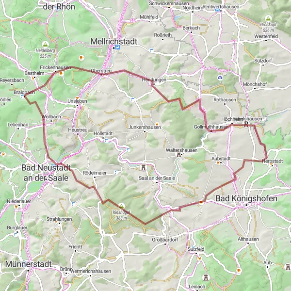
The Rhön Gravel Adventure is a thrilling off-road cycling route that takes you through the rugged terrain of the Rhön region in Unterfranken, Germany. With a total distance of 65 kilometers and an elevation gain of 700 meters, this route offers a mix of gravel paths, forest trails, and scenic country roads. As you navigate through the challenging terrain, you'll be rewarded with breathtaking views of the rolling hills, vast meadows, and dense forests. This route is ideal for adventurous cyclists looking to explore the unspoiled natural beauty of the Rhön region.
gravel
65 km
700 m
Tough
Route profile
Highlights on the route
0 km
0 km
Start: Braidbach Village centerBastheim: Pedal through the scenic roads of Bastheim.
Bastheim, situated in Unterfranken, Germany, offers enjoyable cycling routes. The roads are relatively flat, making it suitable for both leisurely rides and training sessions. While Bastheim lacks any famous cycling locations or renowned climbs, the picturesque landscapes and quiet roads create a pleasant environment for cyclists.6 km
6 km
Eiersberg311 mPeakEiersberg offers a steep climb with rewarding views of the surrounding countryside from the top.
13 km
13 km
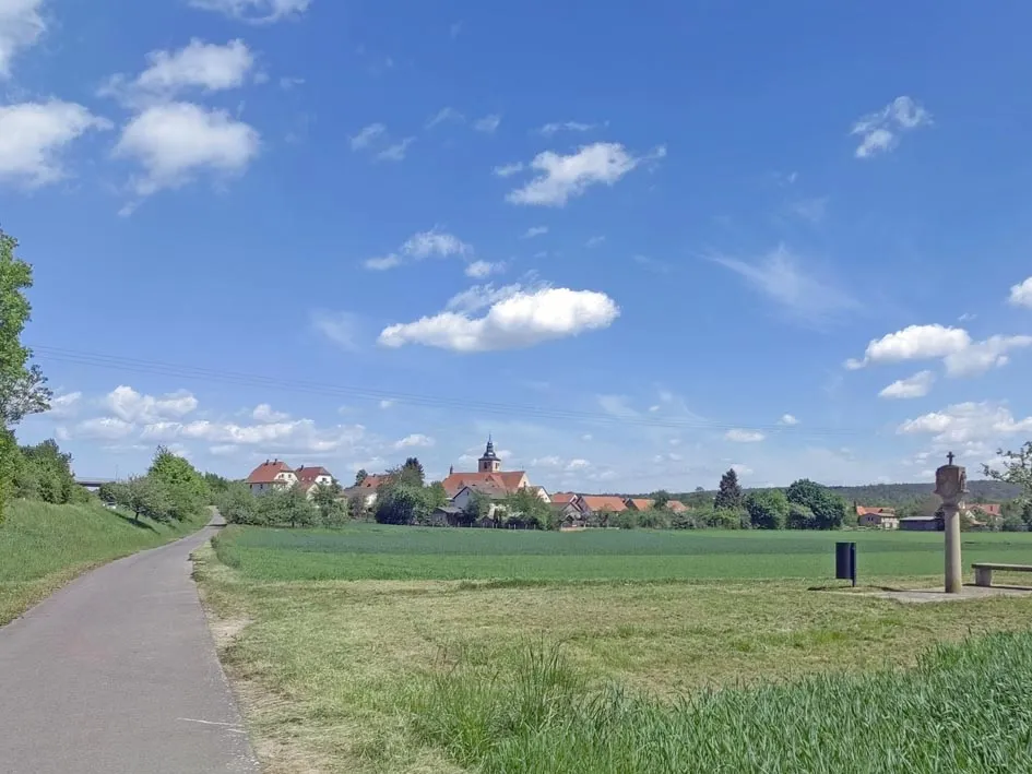
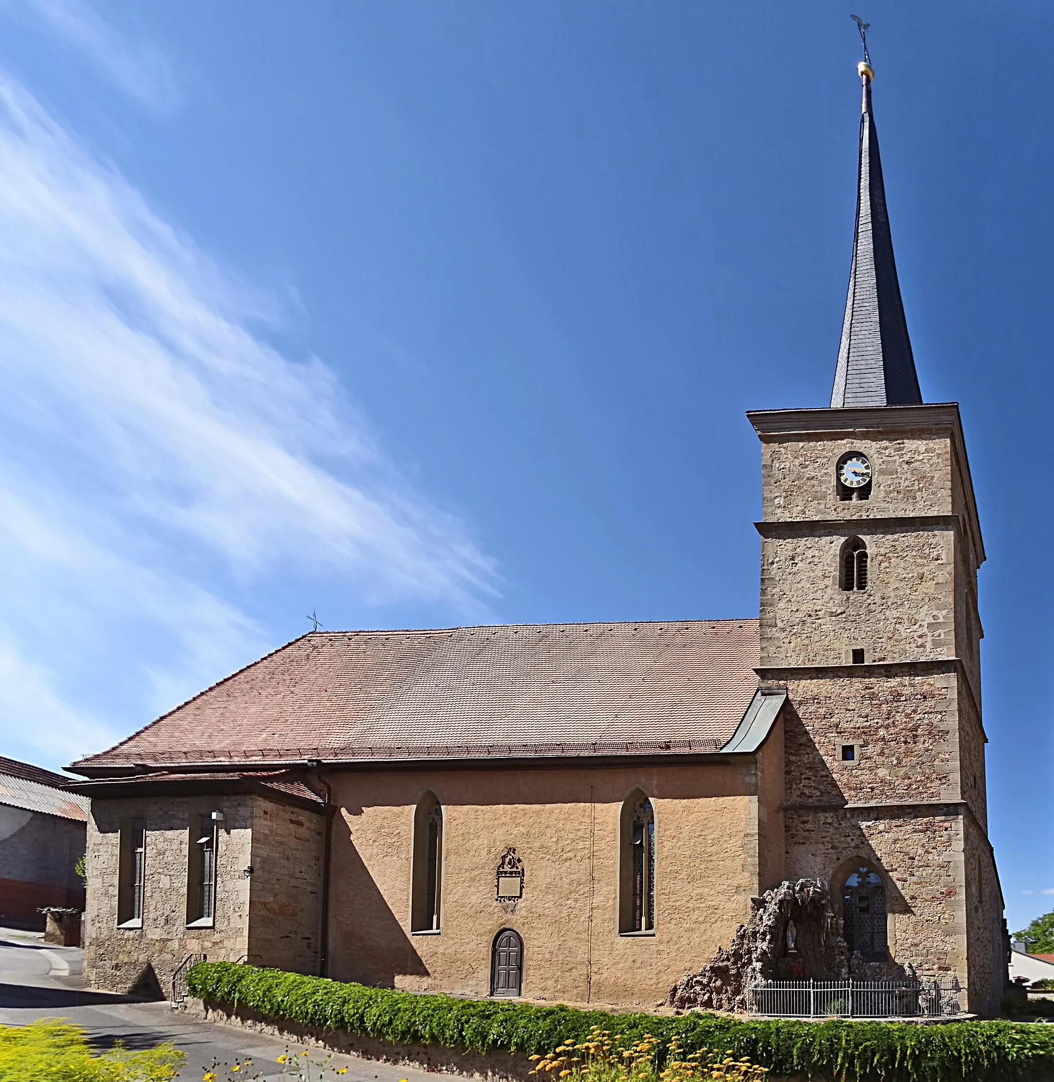
HendungenVillageHendungen is a small village known for its charming half-timbered houses and lush green meadows.
23 km
23 km
Hundsfelder Berg358 mPeakHundsfelder Berg is a scenic hill that offers panoramic vistas of the Rhön region.
30 km
30 km
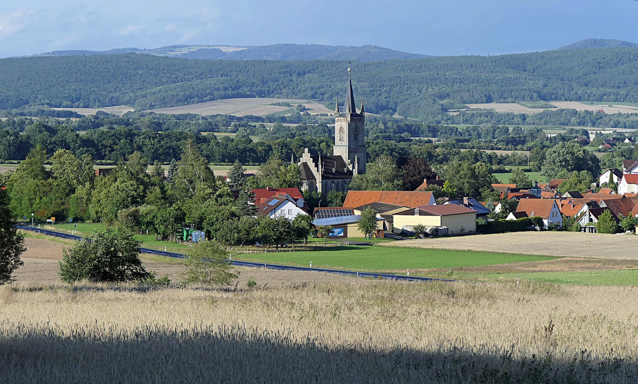
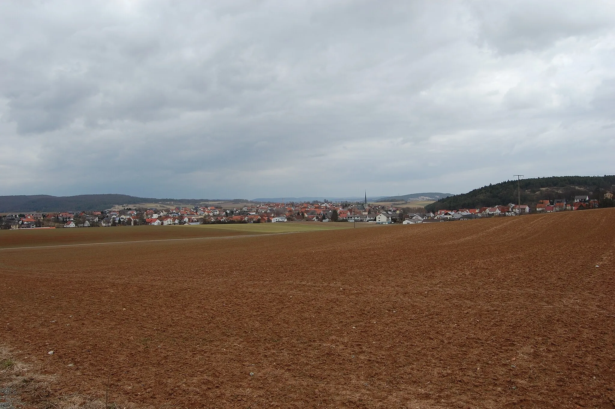
HerbstadtVillageHerbstadt is a cozy village with a rich agricultural history and picturesque farmlands.
40 km
40 km
GroßeibstadtVillageGroßeibstadt is a quaint village with well-preserved traditional houses and a peaceful atmosphere.
42 km
42 km
Hart329 mPeakHart is a charming hamlet surrounded by idyllic meadows and rolling hills.
48 km
48 km
Kieshügel383 mPeakKieshügel is a gravel section of the route that adds a fun twist to your off-road adventure.
61 km
61 km
WollbachVillageWollbach offers stunning views of the Rhön landscape and is a great spot for a picnic.
65 km
65 km
Finish: Braidbach Village centerBastheim: Pedal through the scenic roads of Bastheim.
Cycling routes nearby: