Wilderness Gravel Ride
A gravel cycling route starting from Bastheim
Embark on a wild off-road adventure through the untouched wilderness of Unterfranken, Germany.
Map
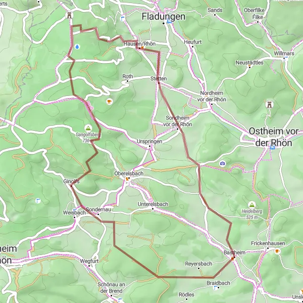
The Wilderness Gravel Ride is an adrenaline-fueled off-road adventure that takes you through the untouched wilderness of Unterfranken, Germany. With a total distance of 46 kilometers and an elevation gain of 886 meters, this route offers a mix of challenging gravel climbs, thrilling descents, and scenic forest trails. As you navigate through the rugged terrain, you'll be surrounded by dense forests, tranquil streams, and breathtaking views of the untamed countryside. This route is ideal for experienced gravel riders looking to test their skills in a remote and undisturbed natural environment.
gravel
46 km
886 m
Tough
Route profile
Highlights on the route
0 km
0 km
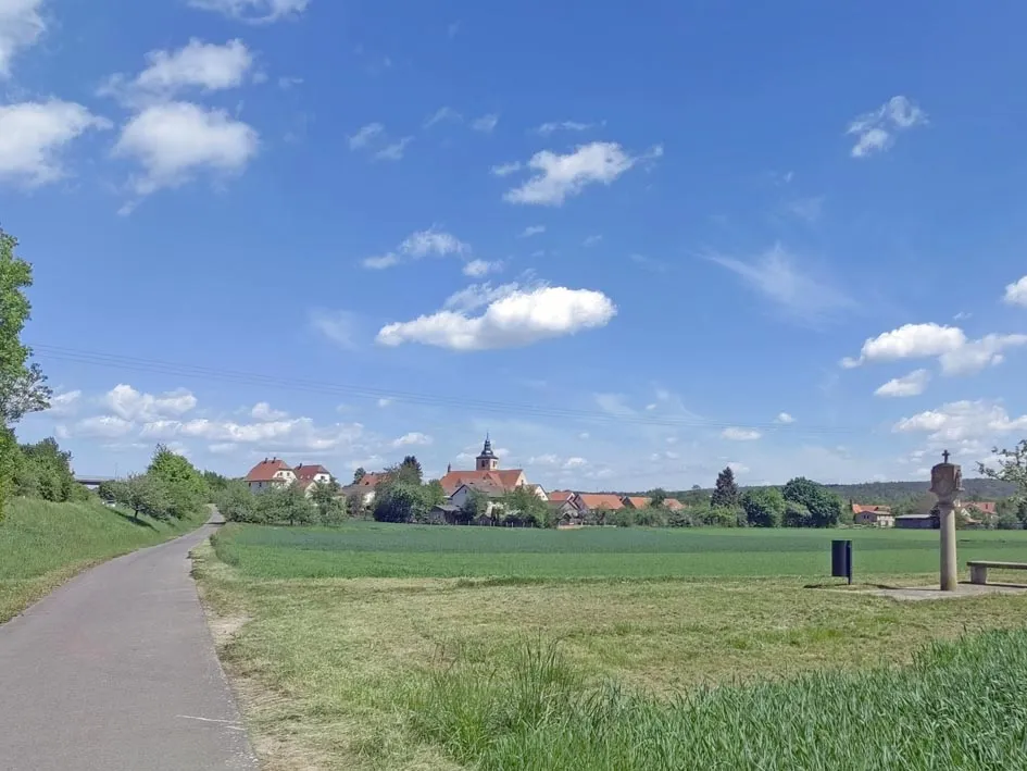
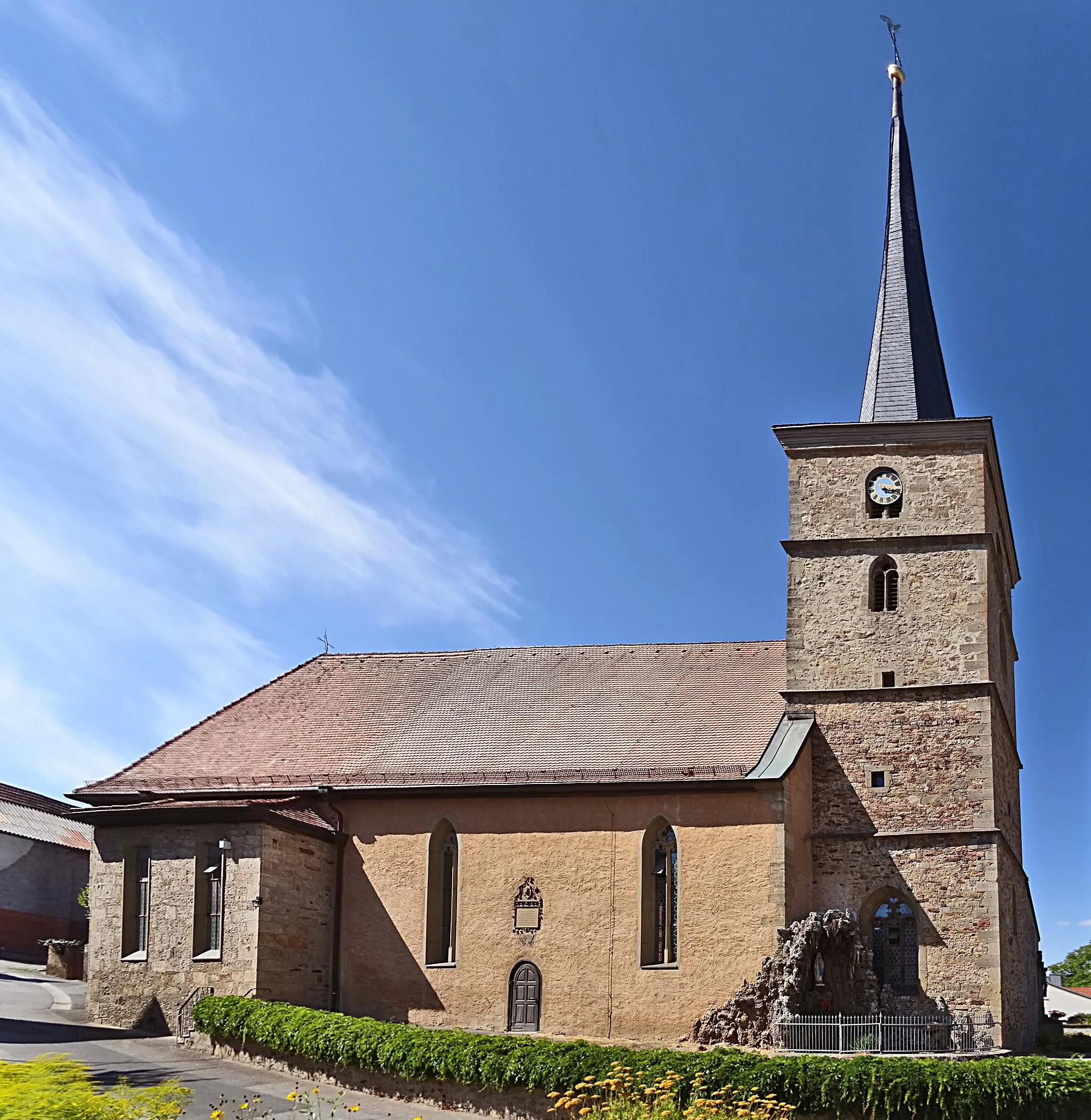
Start: Bastheim Village centerBastheim: Pedal through the scenic roads of Bastheim.
Bastheim, situated in Unterfranken, Germany, offers enjoyable cycling routes. The roads are relatively flat, making it suitable for both leisurely rides and training sessions. While Bastheim lacks any famous cycling locations or renowned climbs, the picturesque landscapes and quiet roads create a pleasant environment for cyclists.0 km
0 km
Reyersbacher Höhe359 mPeakReyersbacher Höhe offers panoramic views, with rolling hills and vast meadows stretching as far as the eye can see.
13 km
13 km
GinolfsVillageGinolfs is a charming village surrounded by lush green meadows and idyllic farmlands.
19 km
19 km
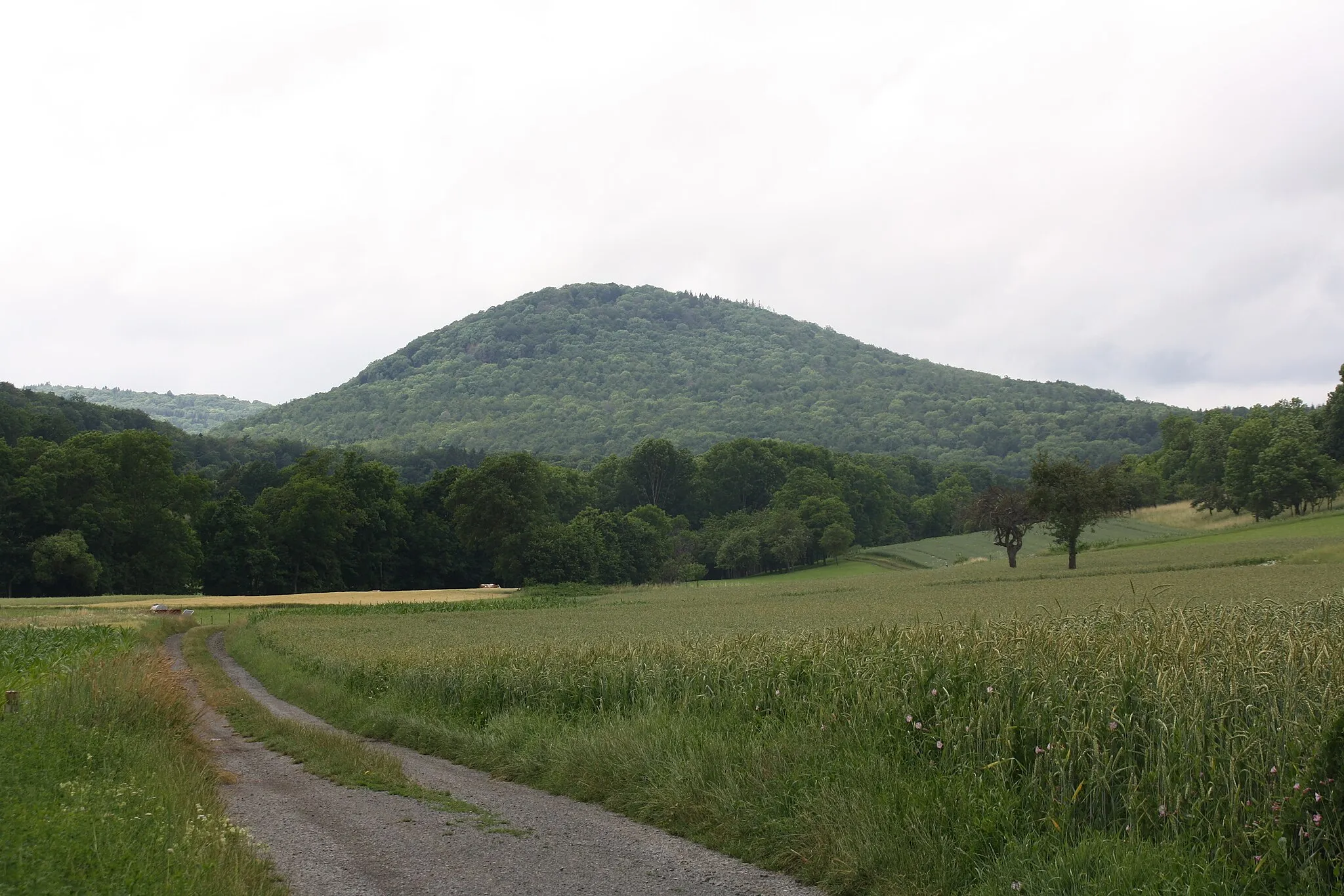
Gangolfsberg736 mPeakGangolfsberg is a rocky hill known for its challenging trail and its panoramic views of the Rhön landscape.
25 km
25 km
Schwarzes MoorAttractionSchwarzes Moor is a unique nature reserve with misty moorlands and rich biodiversity.
37 km
37 km
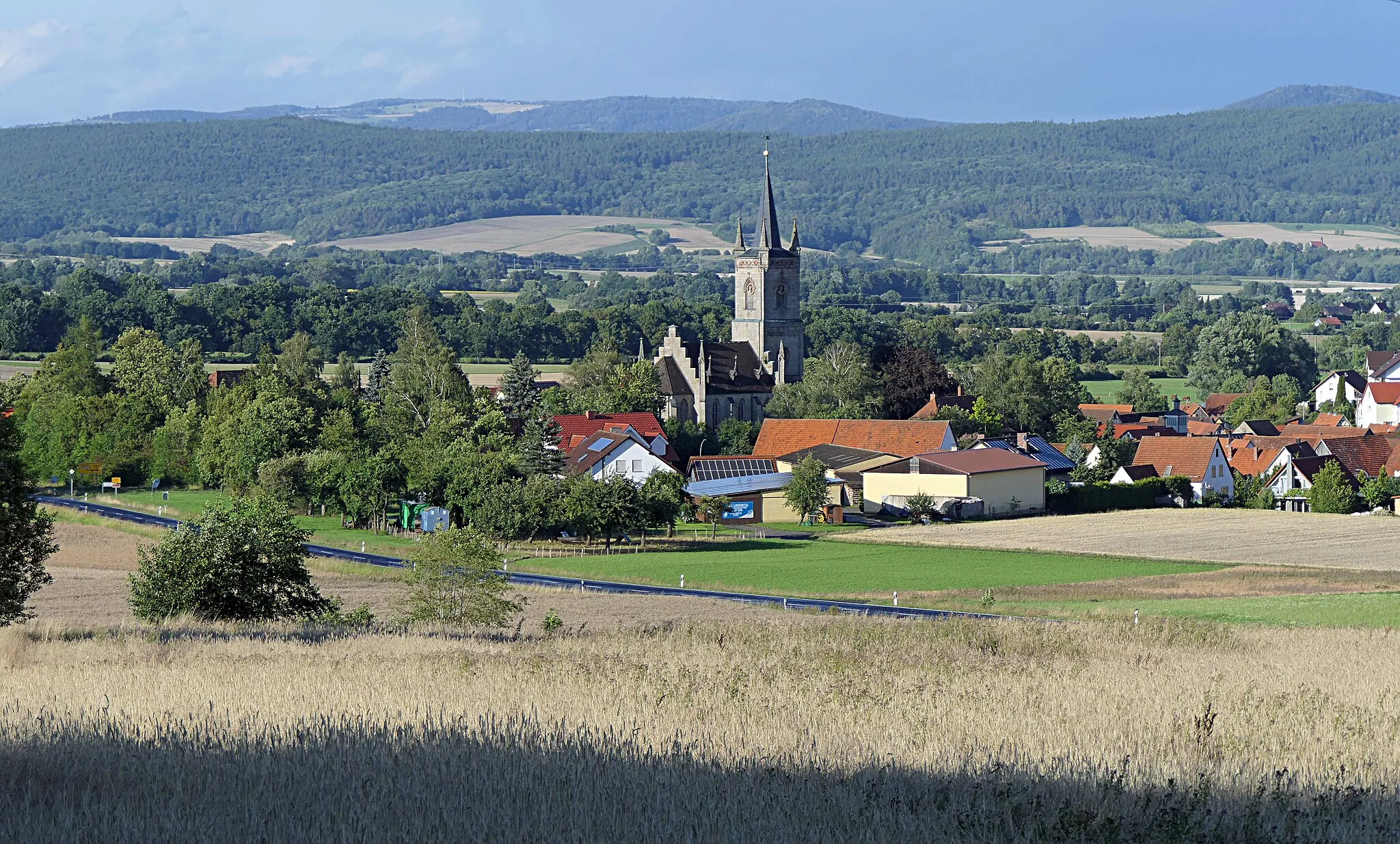
Sondheim vor der RhönVillageSondheim vor der Rhön is a picturesque village with a rich agricultural history and stunning natural surroundings.
39 km
39 km
Kaffenberg462 mPeakKaffenberg offers breathtaking views of the surrounding countryside, including rolling hills and deep valleys.
45 km
45 km
Gresselberg385 mPeakGresselberg is a scenic hilltop viewpoint that offers mesmerizing vistas of the untouched wilderness.
46 km
46 km
BastheimVillageBastheim is the starting point of this wild adventure, offering easy access to the rugged trails and wilderness.
46 km
46 km
Finish: Bastheim Village centerBastheim: Pedal through the scenic roads of Bastheim.
Cycling routes nearby: