Exploring the Rhön
A gravel cycling route starting from Bastheim
Discover the beauty of the Rhön Mountains on this challenging gravel cycling route.
Map
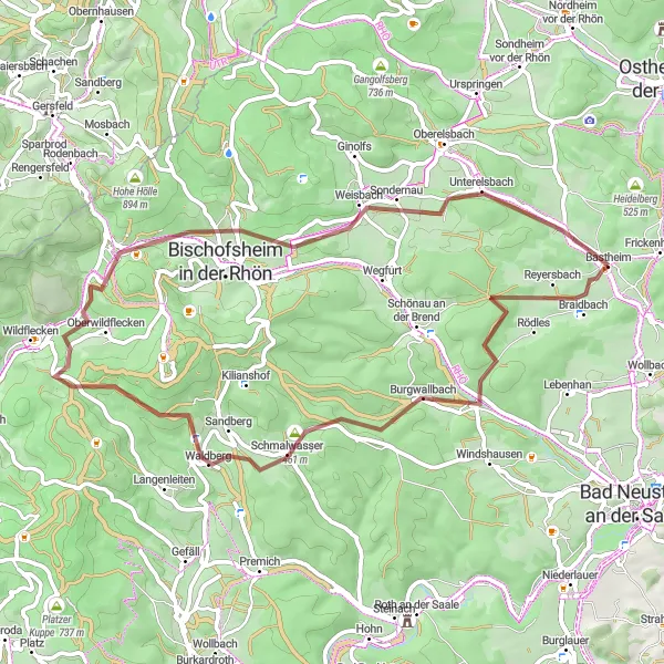
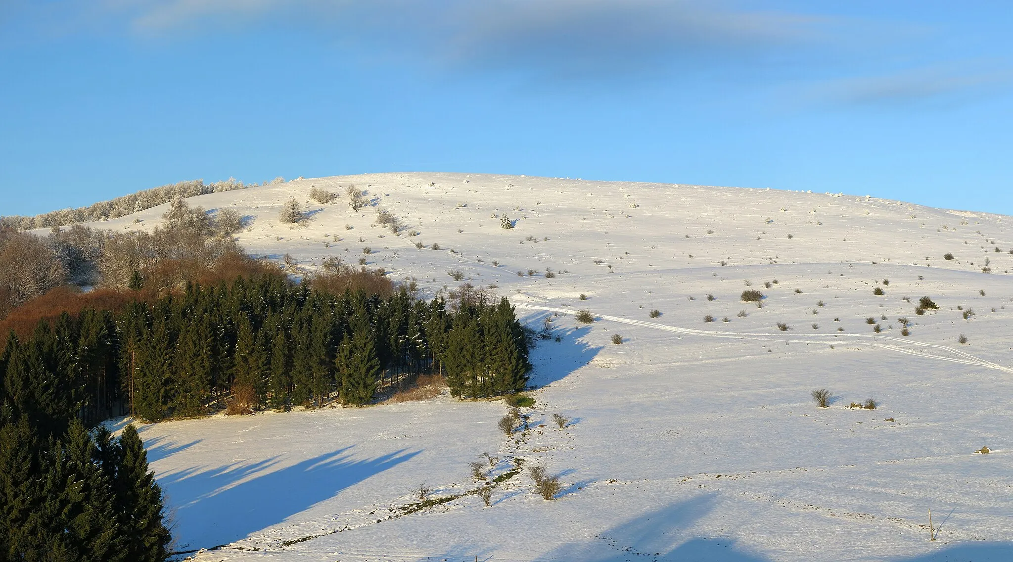
Embark on a thrilling gravel cycling adventure through the stunning landscapes of the Rhön Mountains. Starting in Bastheim, this route features a total ascent of 1059 meters and spans a distance of 58 kilometers. Challenge yourself with tough climbs and experience the exhilaration of riding on varied terrain. Explore highlights such as the Reyersbacher Höhe and Unterweißenbrunn while capturing breathtaking views of the surrounding mountains and valleys. Discover hidden gems like Burgwallbach and Rockenstein along the way.
gravel
58 km
1059 m
Tough
Route profile
Highlights on the route
0 km
0 km
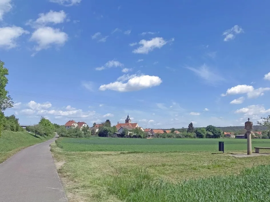
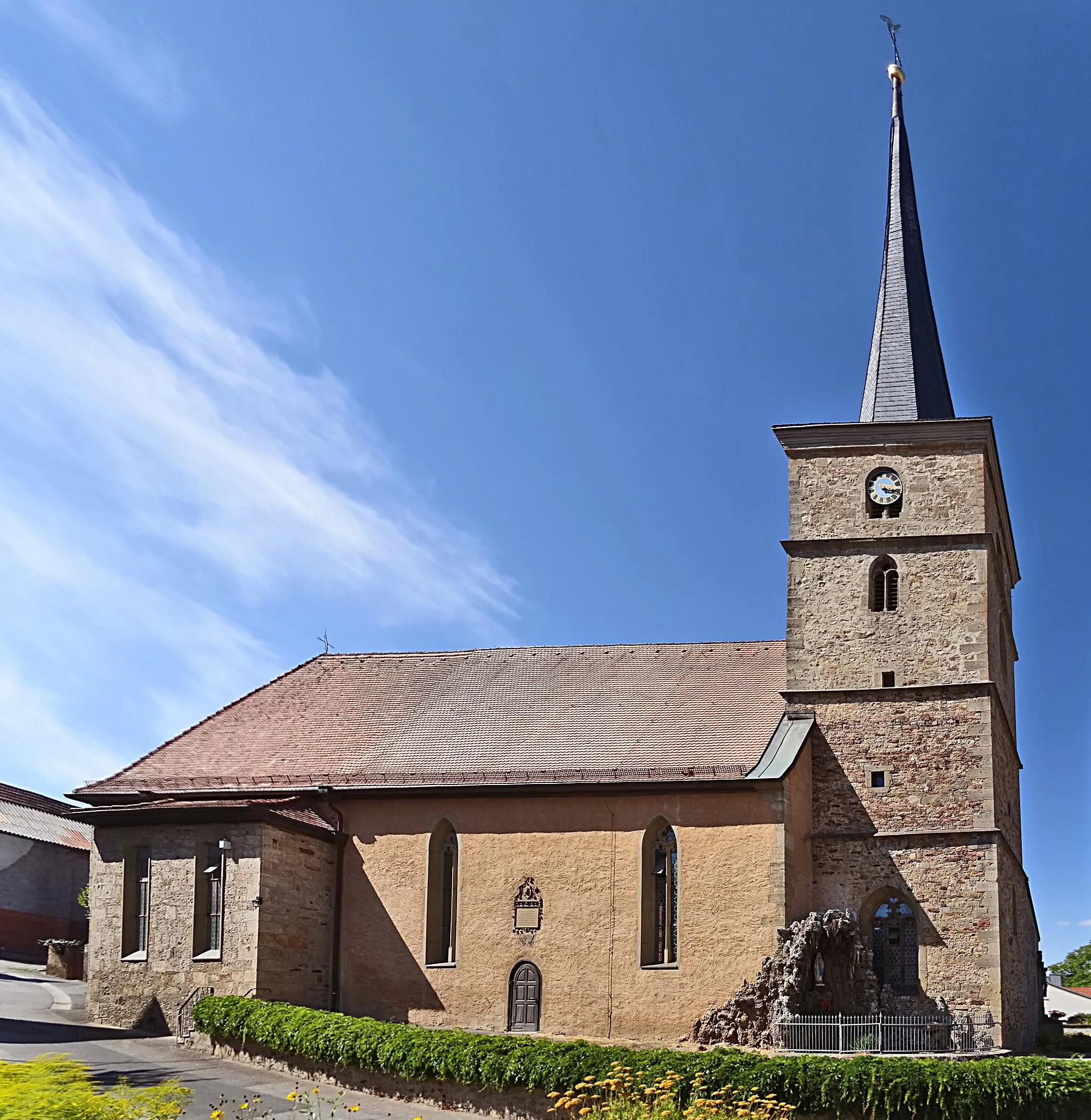
Start: Bastheim Village centerBastheim: Pedal through the scenic roads of Bastheim.
Bastheim, situated in Unterfranken, Germany, offers enjoyable cycling routes. The roads are relatively flat, making it suitable for both leisurely rides and training sessions. While Bastheim lacks any famous cycling locations or renowned climbs, the picturesque landscapes and quiet roads create a pleasant environment for cyclists.0 km
0 km
Reyersbacher Höhe359 mPeakReyersbacher Höhe offers panoramic views of the surrounding mountains and valleys.
12 km
12 km
BurgwallbachVillageBurgwallbach is a cozy village with charming half-timbered houses and tranquil surroundings.
18 km
18 km
Tannenkopf461 mPeakTannenkopf is a mountain summit that rewards cyclists with magnificent views of the Rhön Mountains.
36 km
36 km
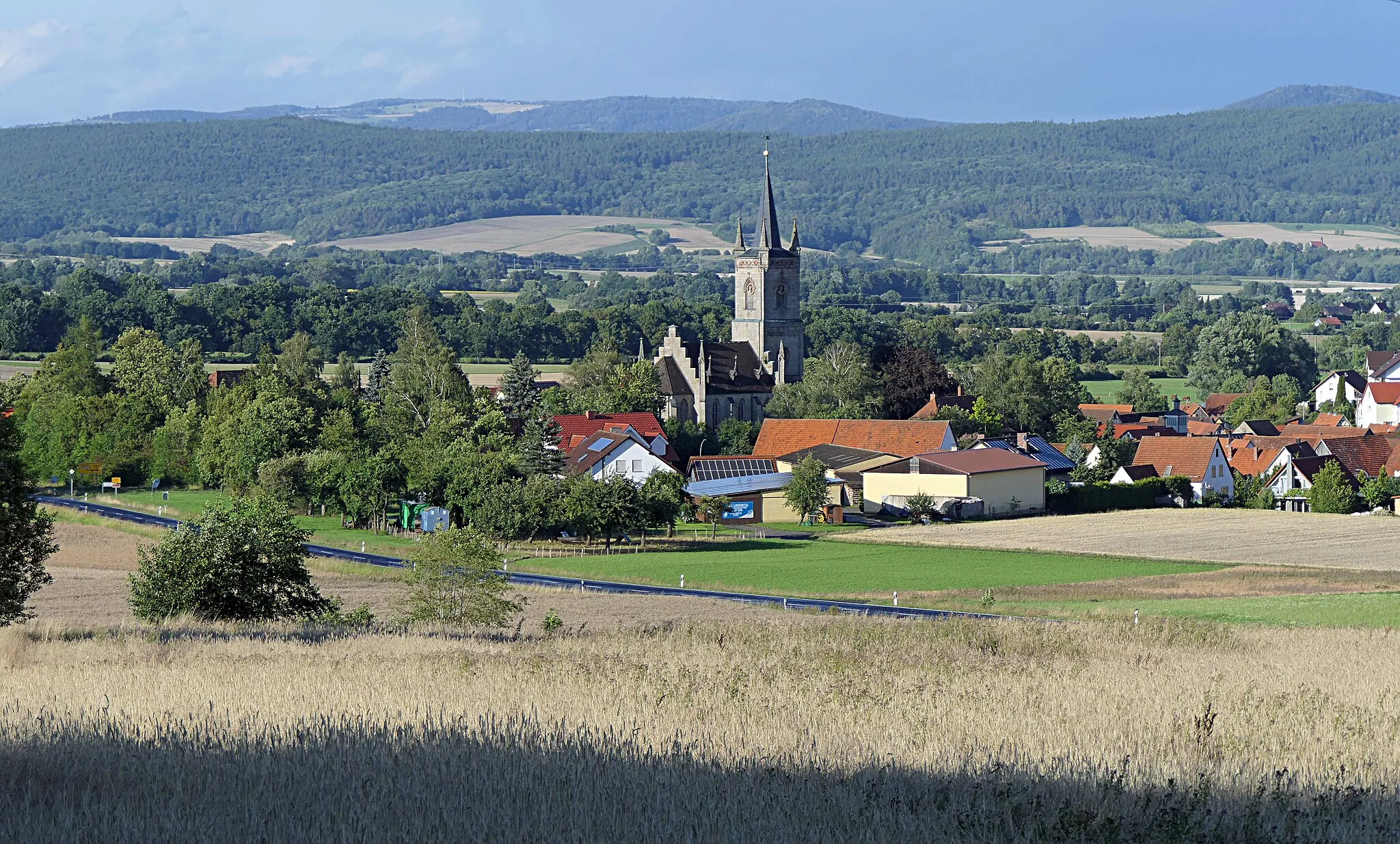
OberweißenbrunnVillageOberweißenbrunn is a picturesque village known for its historic architecture and beautiful countryside.
37 km
37 km
Rockenstein776 mPeakRockenstein is a natural rock formation that offers panoramic views and photo opportunities.
44 km
44 km
UnterweißenbrunnVillageUnterweißenbrunn is a scenic village surrounded by forests and rolling hills, perfect for a peaceful ride.
55 km
55 km
Dachsberg401 mPeakDachsberg is a hidden gem with tranquil landscapes and captivating views.
58 km
58 km
Finish: Bastheim Village centerBastheim: Pedal through the scenic roads of Bastheim.
Cycling routes nearby: