Suffolk Countryside Ride
A road cycling route starting from Diss
Immerse yourself in the beauty of the Suffolk countryside and enjoy a scenic cycling experience
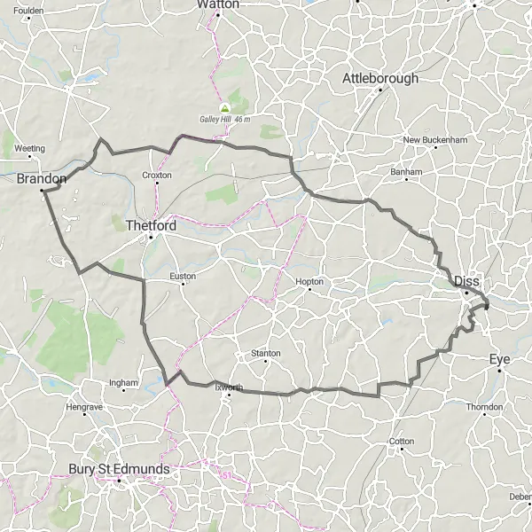
Map
Hop on your bike and explore the mesmerizing Suffolk countryside along this moderately challenging road route. Encounter quaint villages, rolling hills, and captivating highlights along your ride.
road
101 km
352 m
Chill
Route profile
Highlights on the route
0 km
0 km
Start: Stuston Village centerDiss: Cyclist's Paradise in East Anglia
Diss is a town located in East Anglia, United Kingdom. From a cyclist's perspective, Diss offers a variety of cycling opportunities for both road and gravel cyclists. The town itself is bike-friendly, with cycling lanes and amenities such as bike racks and repair shops. Diss is surrounded by picturesque countryside, with quiet country lanes that are ideal for road cycling adventures. Gravel cyclists can explore the nearby Thetford Forest, which offers a network of off-road trails suitable for all skill levels. Additionally, Diss is located near the Norfolk Broads, a unique network of rivers and lakes, providing scenic routes for cyclists. Overall, Diss is a great destination for cyclists, offering a mix of road and gravel routes in a picturesque setting.0 km
0 km
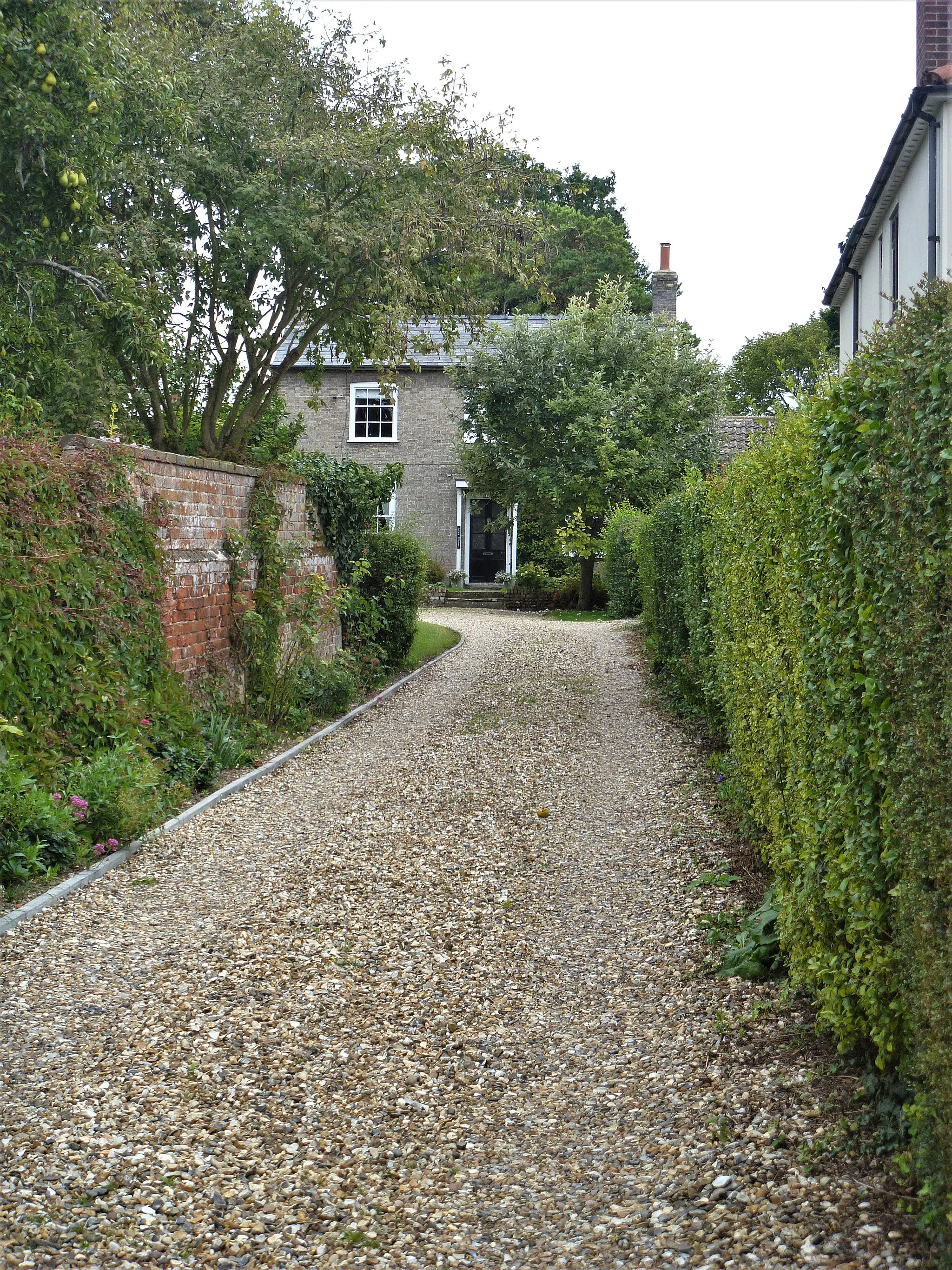
StustonVillageStuston offers picturesque views of open fields and a peaceful countryside ambiance.
20 km
20 km
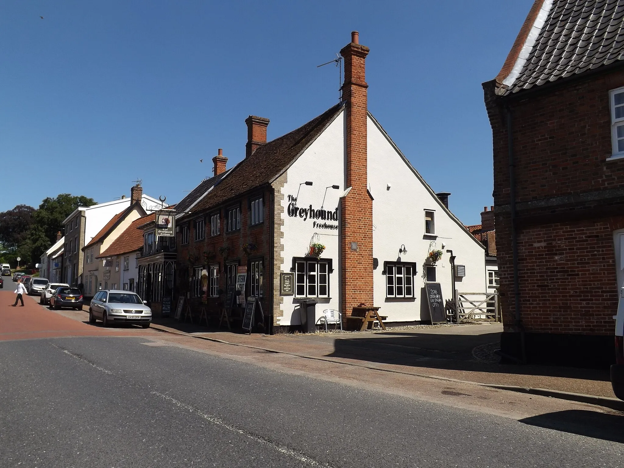
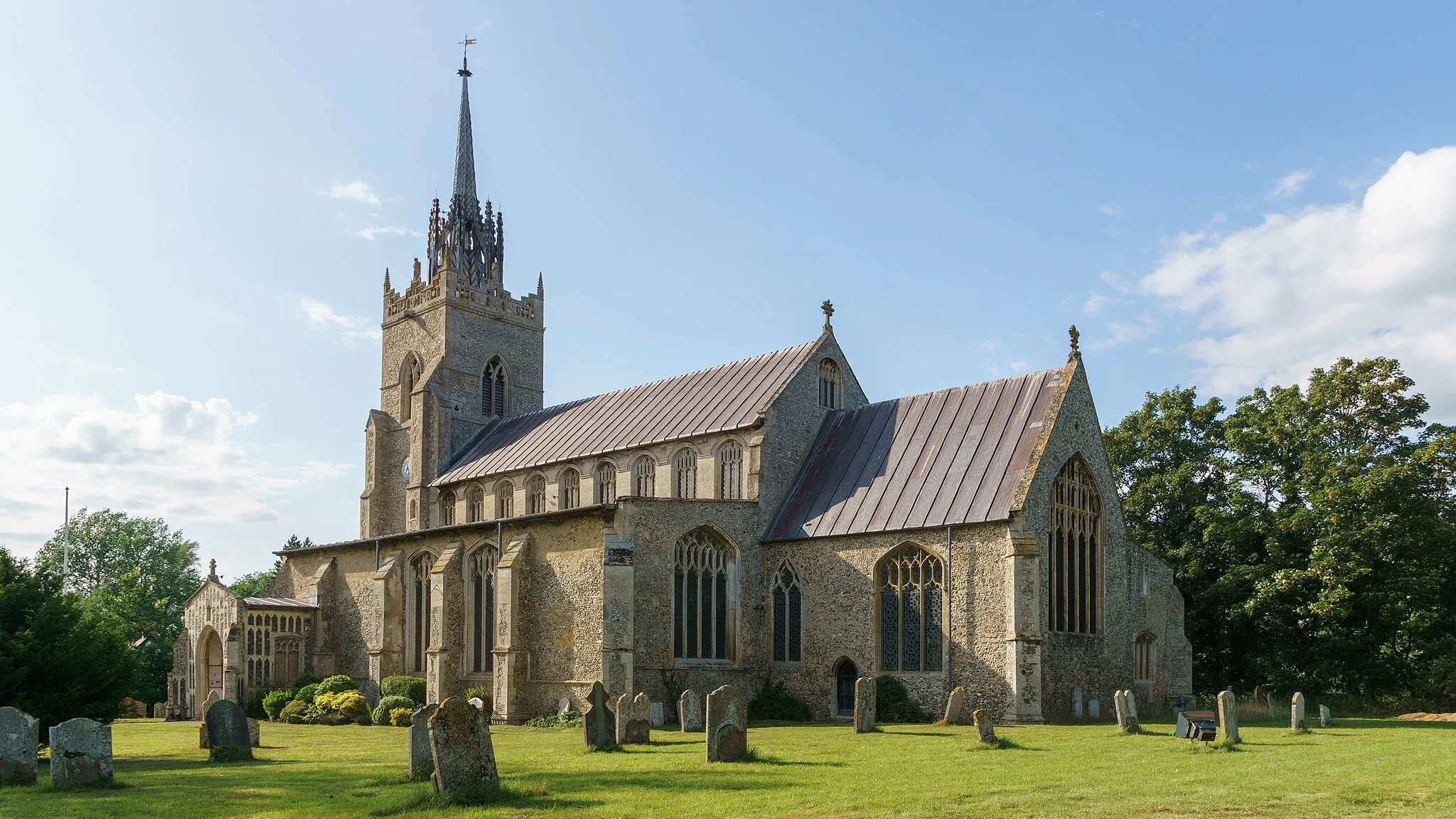
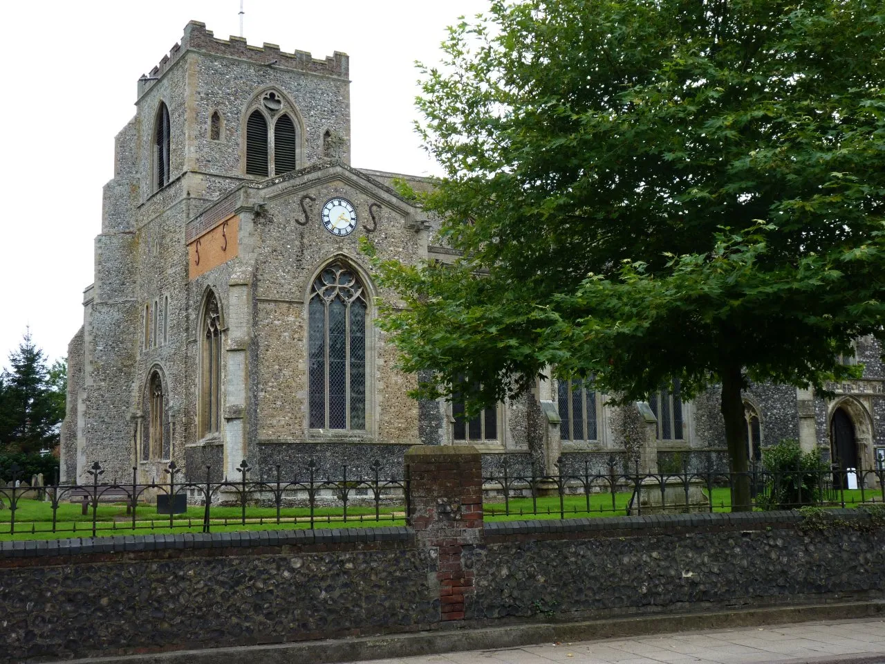
Walsham le WillowsVillageWalsham le Willows charms you with its 12th-century church and welcoming local community.
33 km
33 km
Great LivermereVillageGreat Livermere surprises you with the enchanting Livermere Hall, a stunning Jacobean mansion surrounded by manicured gardens.
58 km
58 km
Santon DownhamHamletSanton Downham allures you with Thetford Forest Park, the UK's largest man-made lowland forest, offering splendid cycling trails and tranquil woodlands.
81 km
81 km
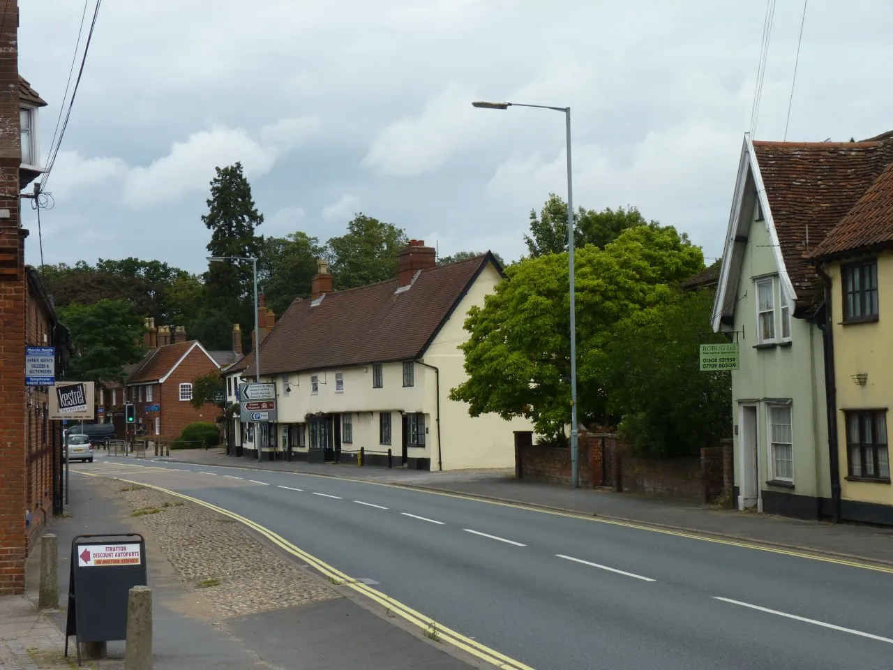
East HarlingVillageEast Harling treats you to beautiful village greens, charming cottages, and the historic St. Peter and St. Paul's Church.
98 km
98 km
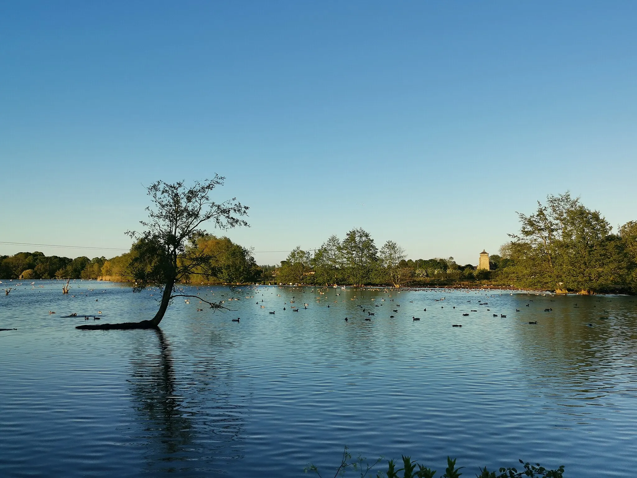
DissTownDiss, the starting point, is not to be missed with its impressive Diss Mere, a natural lake enjoyed by birdwatchers and water sports enthusiasts.
101 km
101 km
Finish: Stuston Village centerDiss: Cyclist's Paradise in East Anglia
Cycling routes nearby: