The Scole Challenge
A road cycling route starting from Diss
Take on the challenge of the Scole route and discover scenic beauty along the way
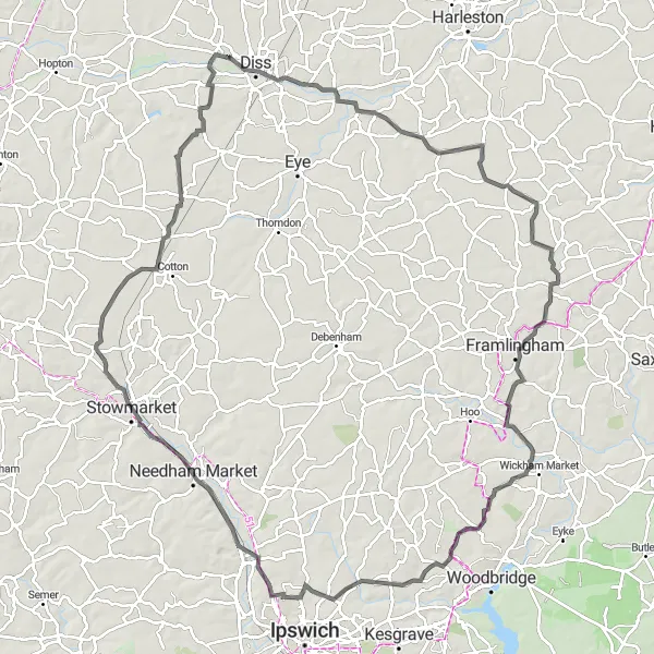
Map
This route offers a challenging yet rewarding cycling experience with beautiful scenery and noteworthy highlights. It combines various terrains to keep you engaged throughout your journey.
road
110 km
418 m
Tough
Route profile
Highlights on the route
0 km
0 km
Start: Roydon Village centerDiss: Cyclist's Paradise in East Anglia
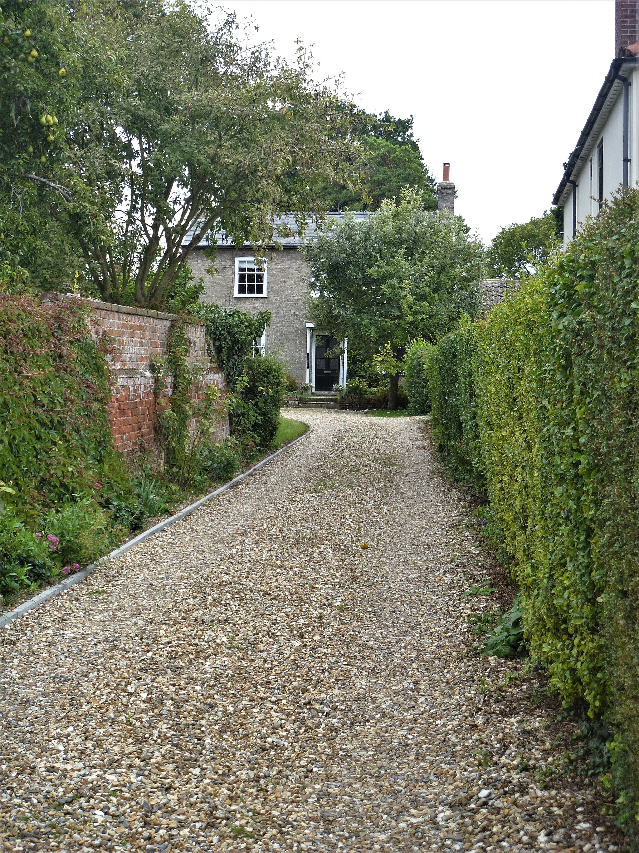
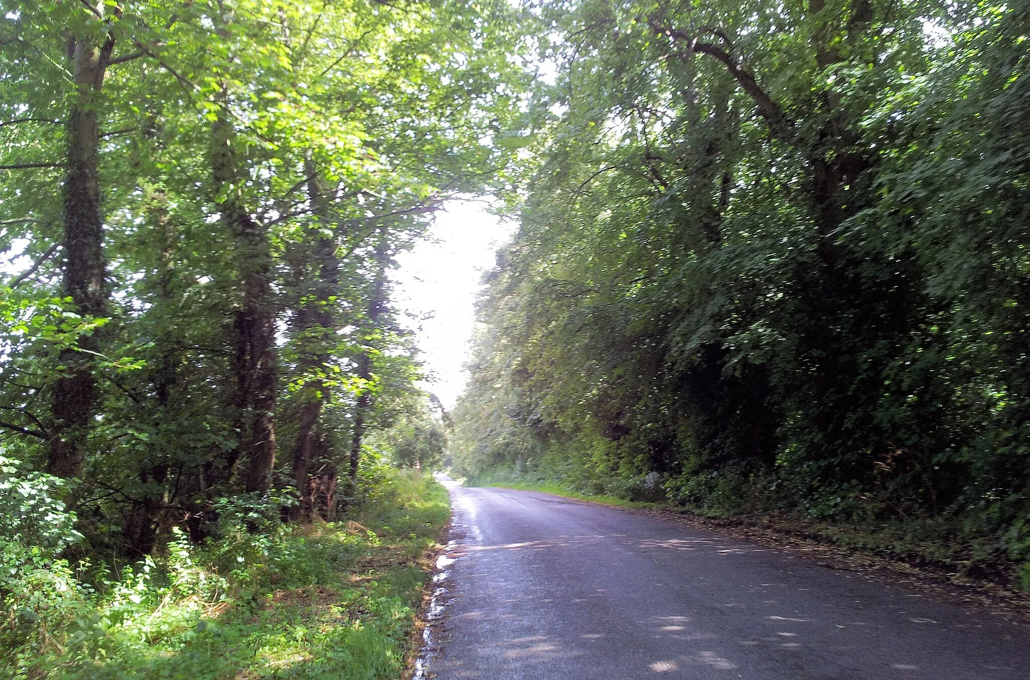
Diss is a town located in East Anglia, United Kingdom. From a cyclist's perspective, Diss offers a variety of cycling opportunities for both road and gravel cyclists. The town itself is bike-friendly, with cycling lanes and amenities such as bike racks and repair shops. Diss is surrounded by picturesque countryside, with quiet country lanes that are ideal for road cycling adventures. Gravel cyclists can explore the nearby Thetford Forest, which offers a network of off-road trails suitable for all skill levels. Additionally, Diss is located near the Norfolk Broads, a unique network of rivers and lakes, providing scenic routes for cyclists. Overall, Diss is a great destination for cyclists, offering a mix of road and gravel routes in a picturesque setting.5 km
5 km
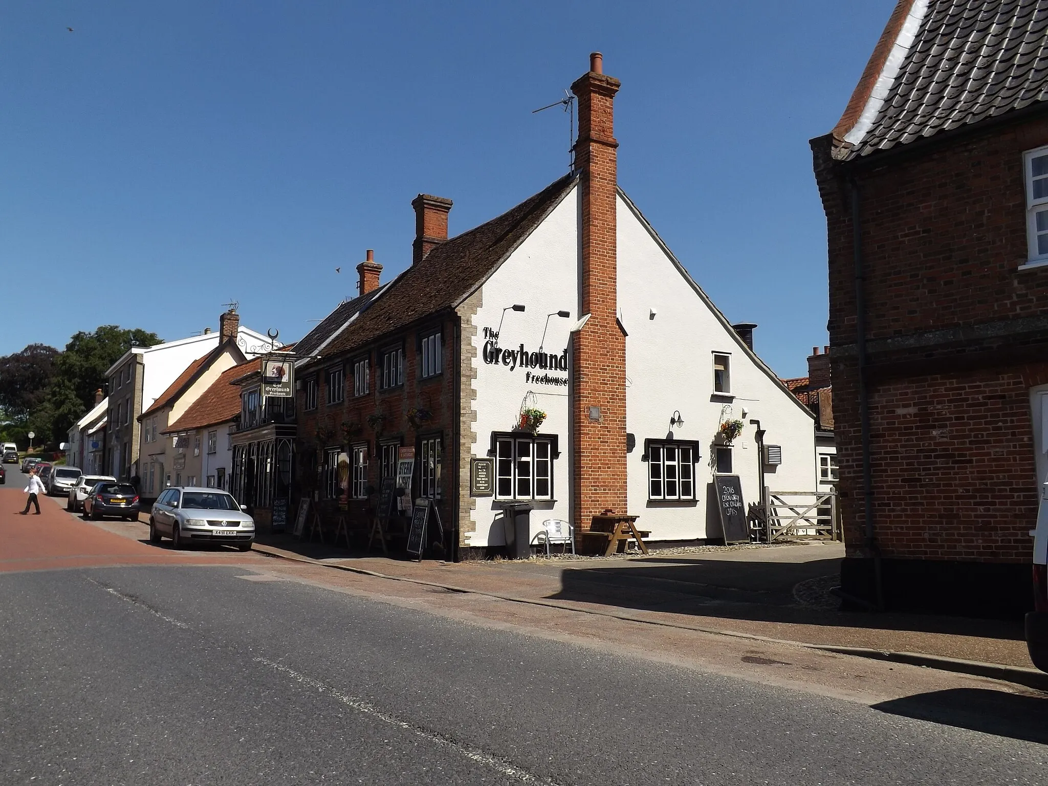
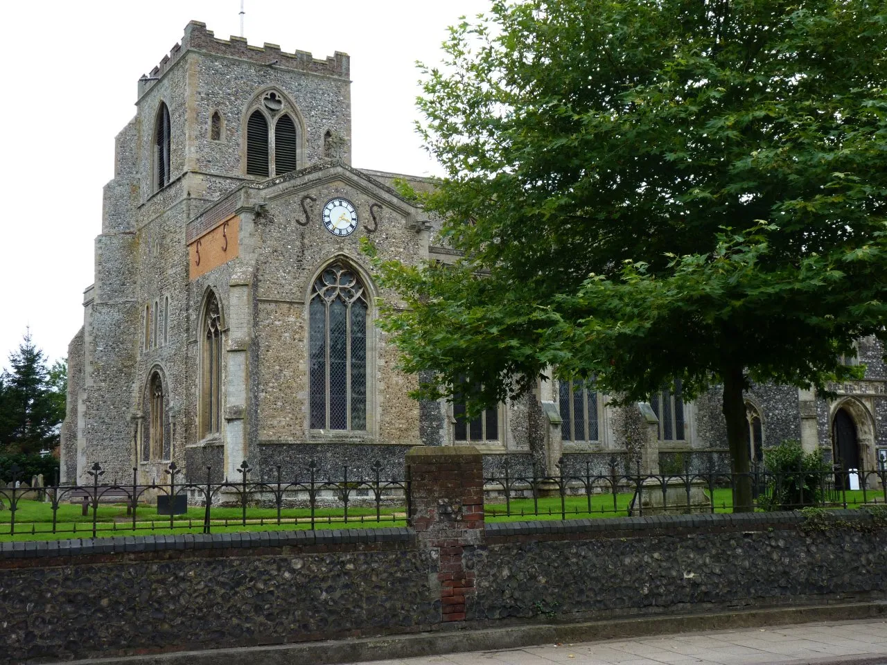
ScoleVillageScole, located along the route, is a quaint little village known for its medieval church and historic charm.
20 km
20 km
Ashfield GreenHamletAshfield Green, a small hamlet, greets you with stunning views of rolling farmland and picturesque landscapes.
29 km
29 km
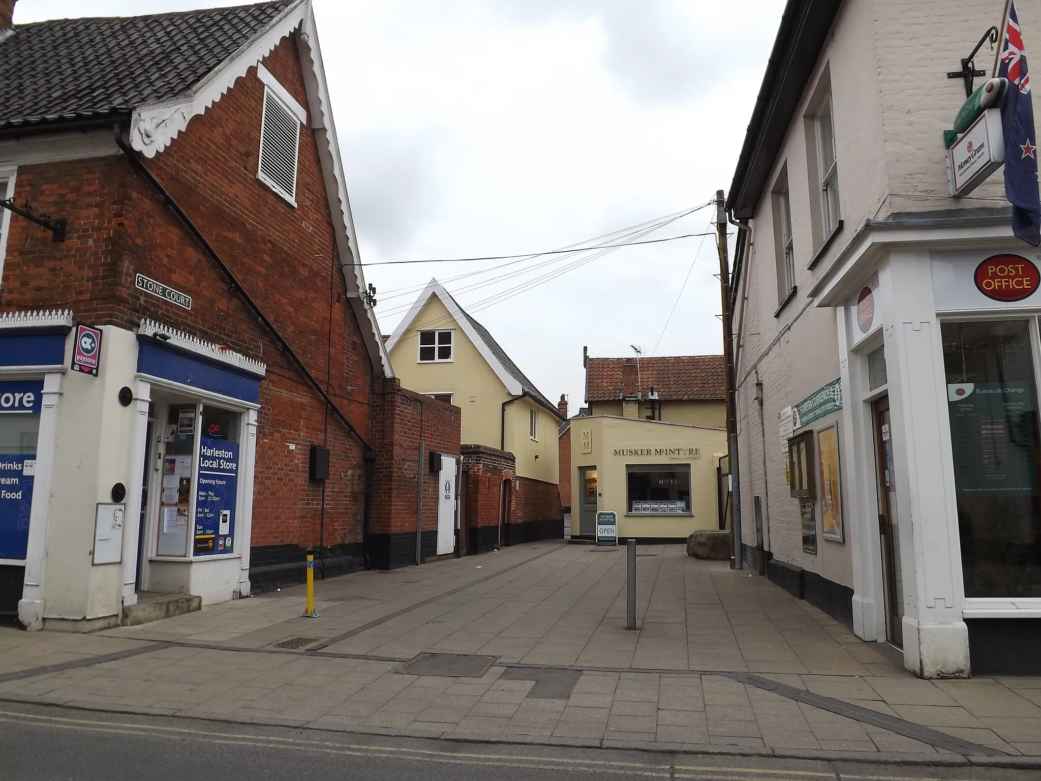
BadinghamVillageBadingham is a charming village that boasts charming thatched cottages and a historic windmill.
49 km
49 km
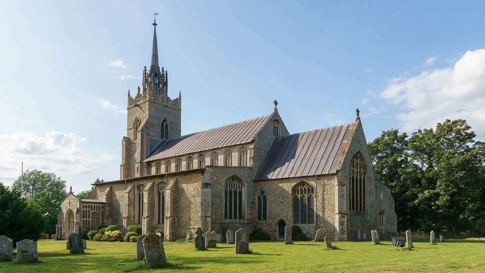
BredfieldVillageBredfield invites you to explore the historic Bredfield Church, with its fascinating heritage and architectural beauty.
69 km
69 km
ClaydonVillageClaydon is home to the enchanting Claydon House, a stately home filled with magnificent architecture and stunning gardens.
86 km
86 km
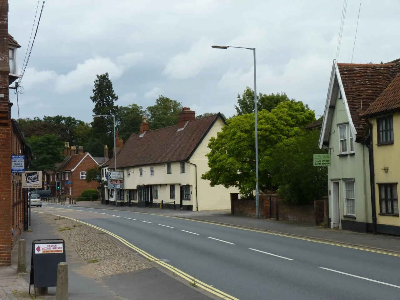
HaughleyVillageHaughley entices you to visit the impressive Haughley Castle, a medieval ruin surrounded by tranquil meadows.
95 km
95 km
FinninghamVillageFinningham offers breathtaking views of the rolling countryside, dotted with charming country houses and farms.
105 km
105 km
WorthamVillageWortham boasts the picturesque Wortham Ling Nature Reserve, where you can experience serene woodland walks and encounter diverse wildlife.
110 km
110 km
Finish: Roydon Village centerDiss: Cyclist's Paradise in East Anglia
Cycling routes nearby: