Discover Lenwade
A road cycling route starting from Diss
Embark on a cycling journey to Lenwade and uncover its hidden delights
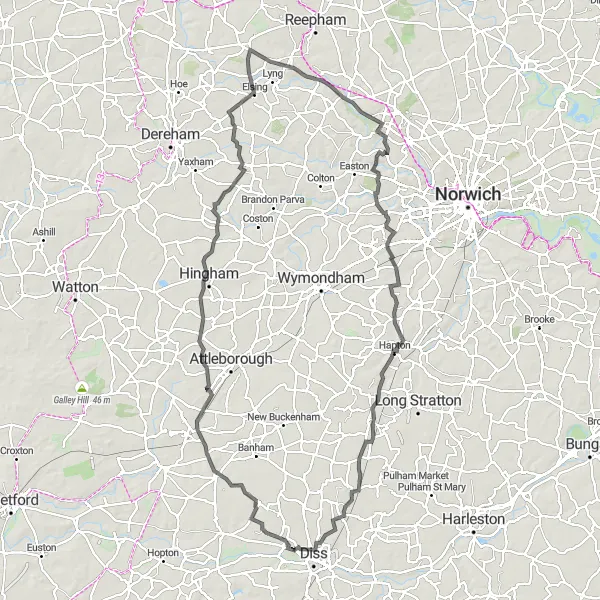
Map
Get ready for an adventurous exploration of Lenwader's natural beauty and landmarks. This moderately challenging road route offers diverse terrain and captivating highlights along the way.
road
109 km
380 m
Tough
Route profile
Highlights on the route
0 km
0 km
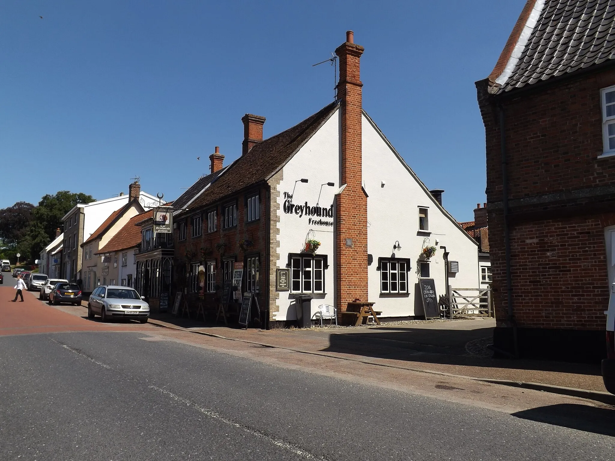
Start: Roydon Village centerDiss: Cyclist's Paradise in East Anglia
Diss is a town located in East Anglia, United Kingdom. From a cyclist's perspective, Diss offers a variety of cycling opportunities for both road and gravel cyclists. The town itself is bike-friendly, with cycling lanes and amenities such as bike racks and repair shops. Diss is surrounded by picturesque countryside, with quiet country lanes that are ideal for road cycling adventures. Gravel cyclists can explore the nearby Thetford Forest, which offers a network of off-road trails suitable for all skill levels. Additionally, Diss is located near the Norfolk Broads, a unique network of rivers and lakes, providing scenic routes for cyclists. Overall, Diss is a great destination for cyclists, offering a mix of road and gravel routes in a picturesque setting.56 km
56 km
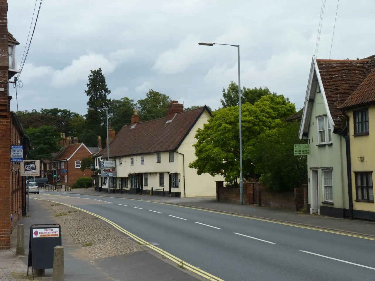
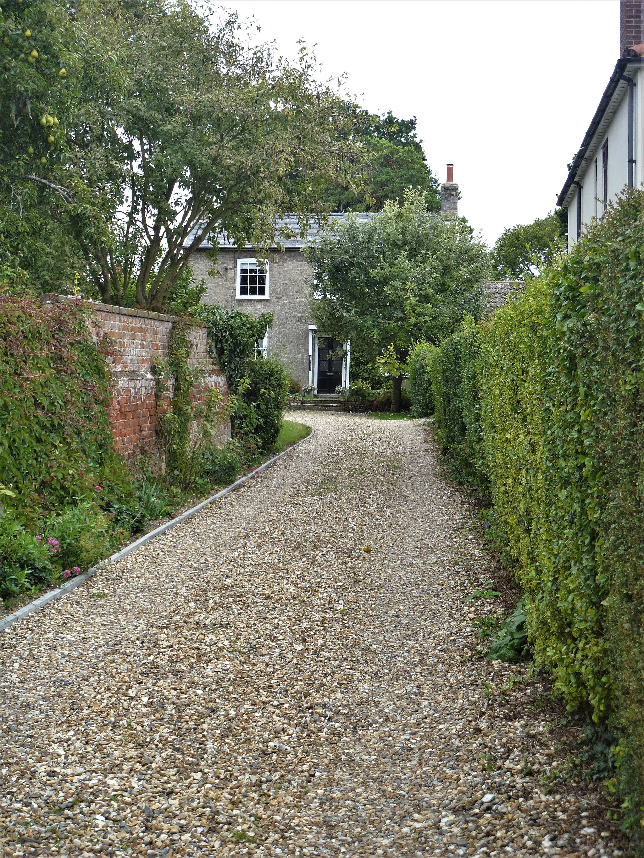
LenwadeVillageLenwade charms you with its stunning position along the River Wensum, providing opportunities for scenic walks and riverside picnics.
72 km
72 km
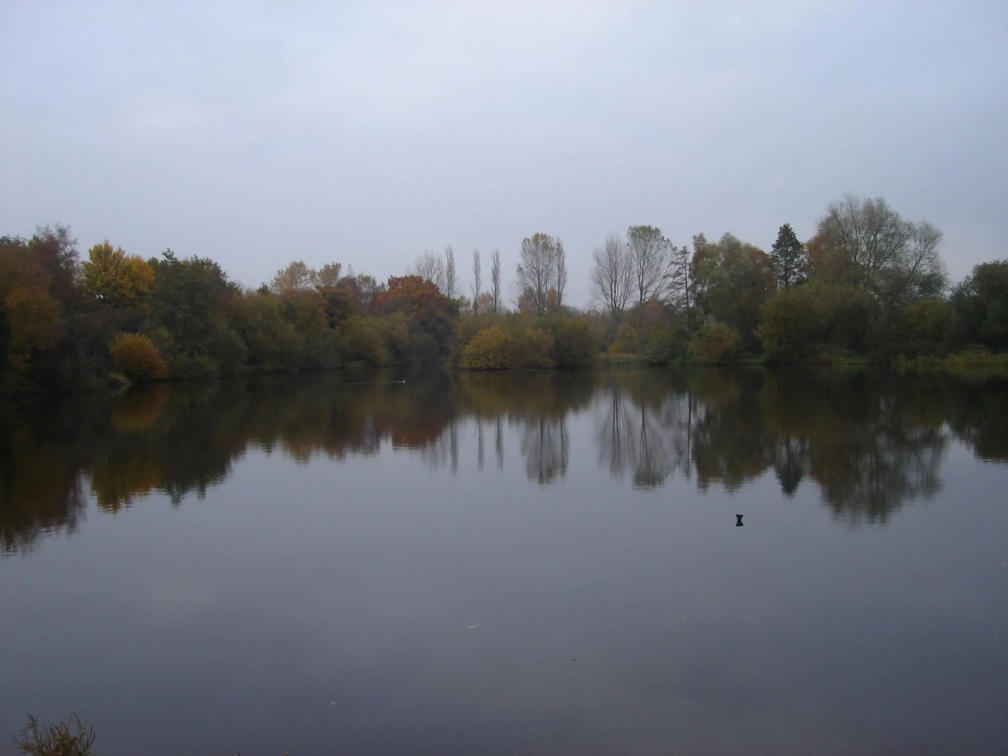
BawburghVillageBawburgh treats you to picturesque views of Bawburgh Lakes, a peaceful nature reserve with an abundance of wildlife.
91 km
91 km
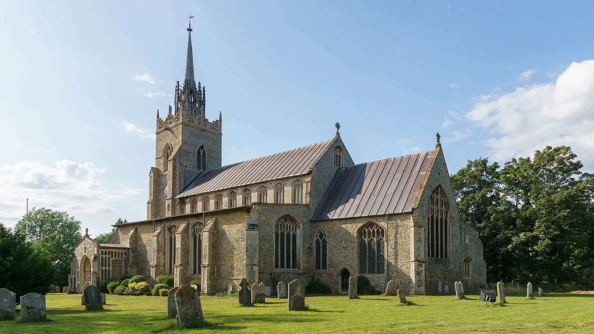
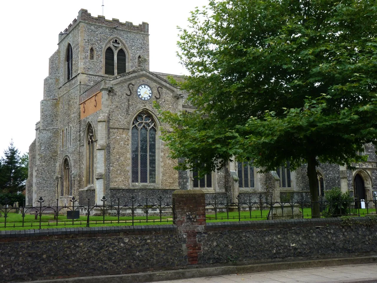
Forncett St PeterVillageForncett St Peter invites you to explore its historic medieval church, which features remarkable stained glass windows and intricate carvings.
102 km
102 km
BurstonVillageBurston captivates you with its famous Burston Strike School, a symbol of socially progressive education and the longest strike in British history.
109 km
109 km
Finish: Roydon Village centerDiss: Cyclist's Paradise in East Anglia
Cycling routes nearby: