Préaux - Gravel Route
A gravel cycling route starting from Preaux
Enjoy off-road cycling through beautiful landscapes on the Préaux gravel route
Map
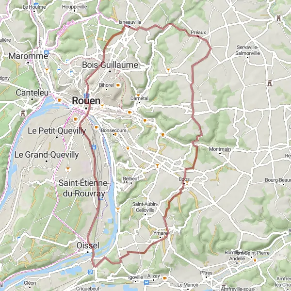
Experience the thrill of off-road cycling on the Préaux gravel route, covering a distance of 57 km with an elevation gain of 488 m. This gravel route offers a moderately difficult ride suited for experienced riders with gravel bikes. Along the way, you will encounter several highlights that add excitement to your cycling adventure.
gravel
57 km
488 m
Tough
Route profile
Highlights on the route
0 km
0 km
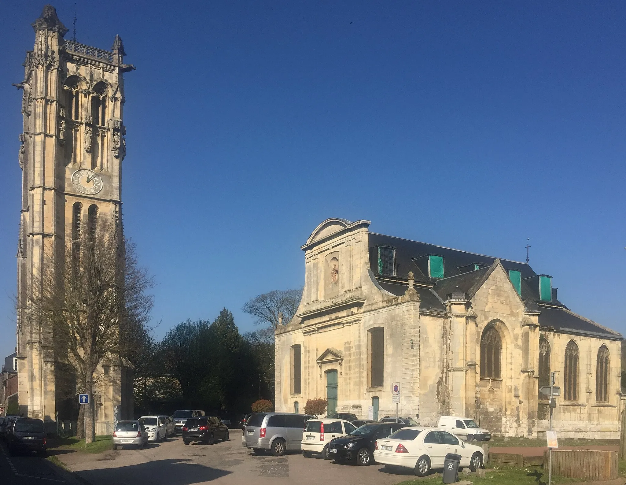
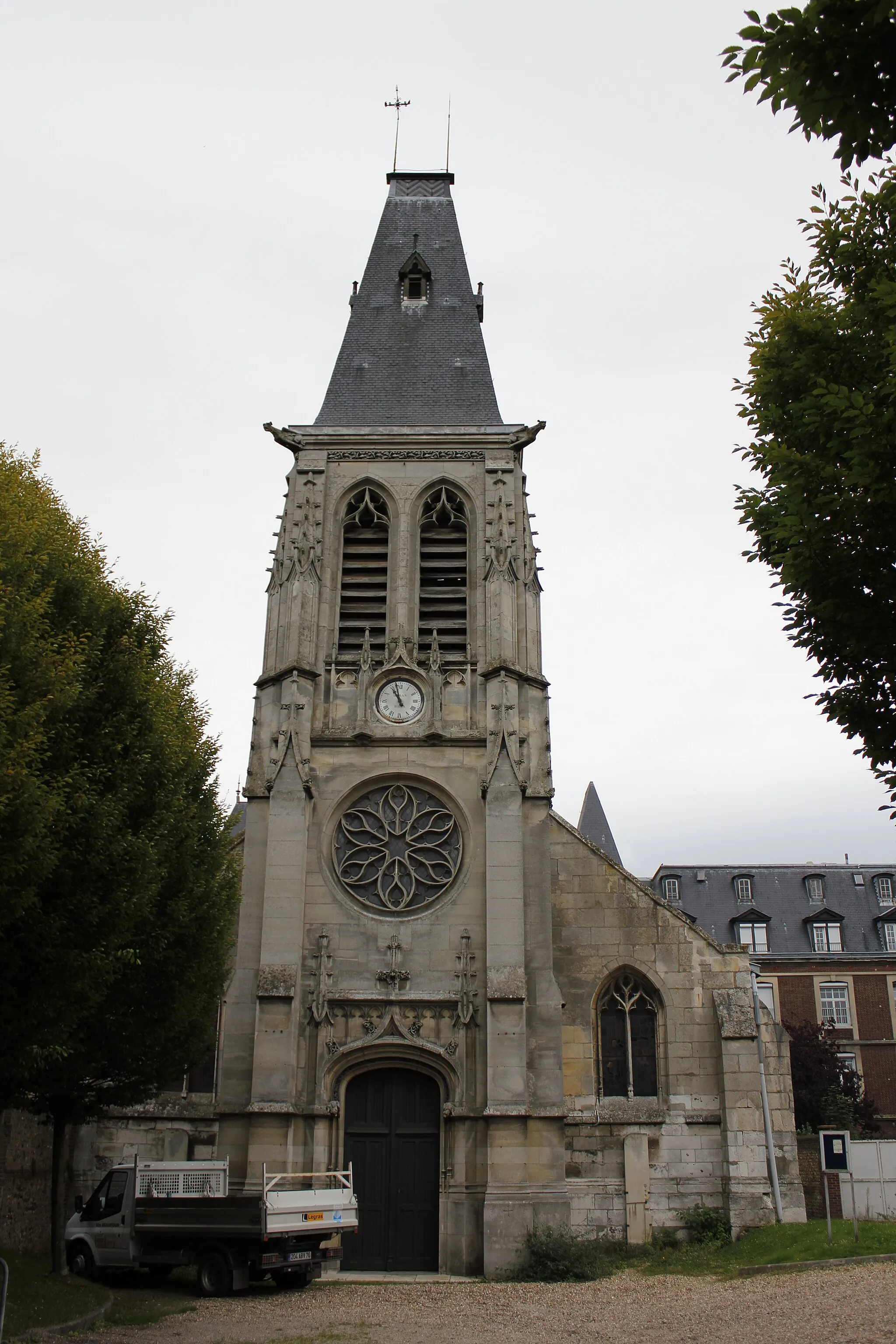
Start: Préaux Village centerPréaux: Discover the rolling hills and scenic landscapes of Préaux as you explore its cycling routes.
Préaux is a small town located in the Haute-Normandie region of France. As a cyclist, you'll appreciate the charm and natural beauty that Préaux has to offer. The area is known for its rolling hills and picturesque landscapes, providing a delightful experience for road and gravel cycling. One of the most famous cycling routes nearby is the Avenue Verte, which connects Paris to London and offers stunning views along the way. With its cycling-friendly atmosphere and scenic routes, Préaux is a must-visit destination for cyclists of all levels.7 km
7 km
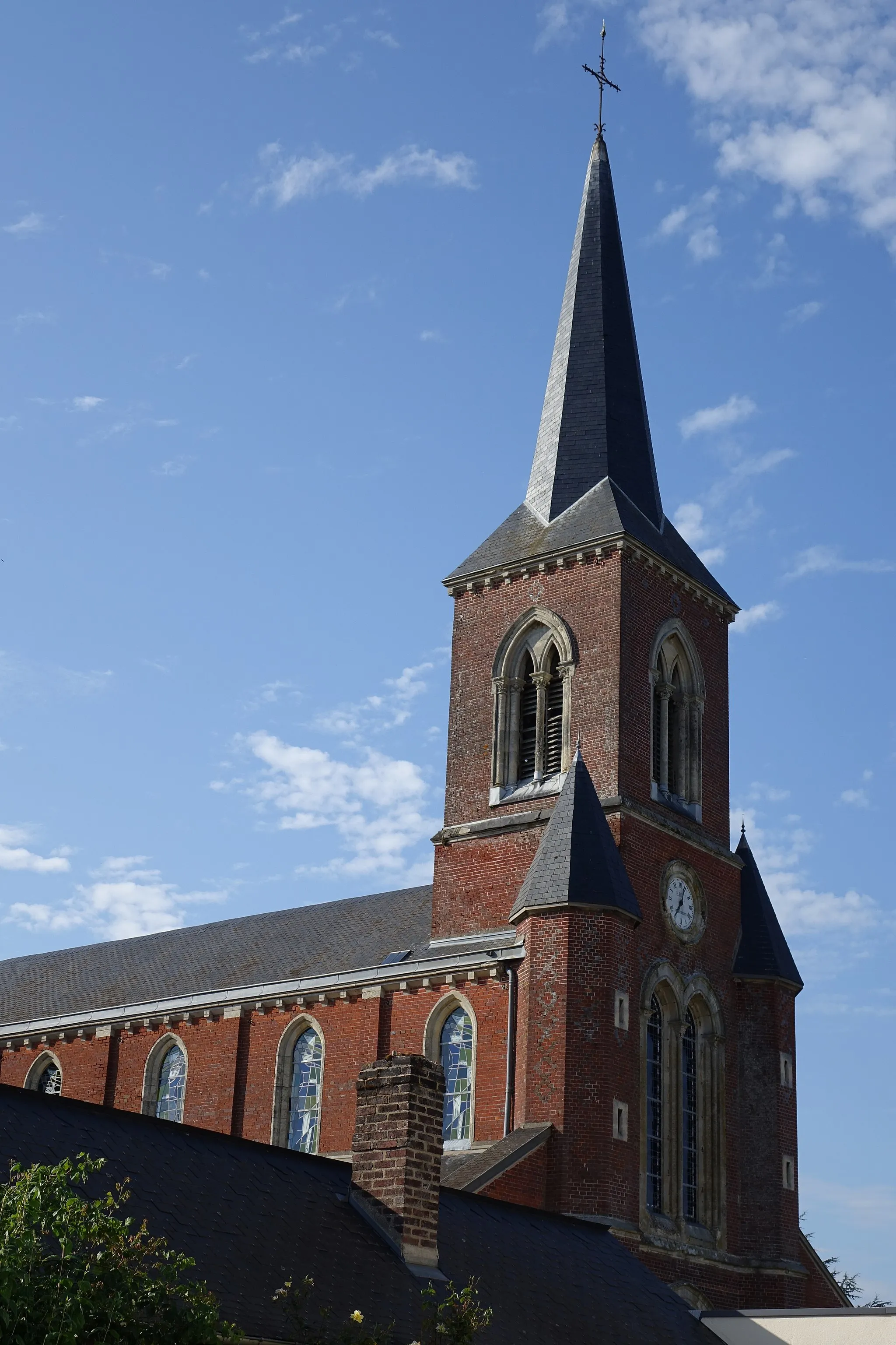
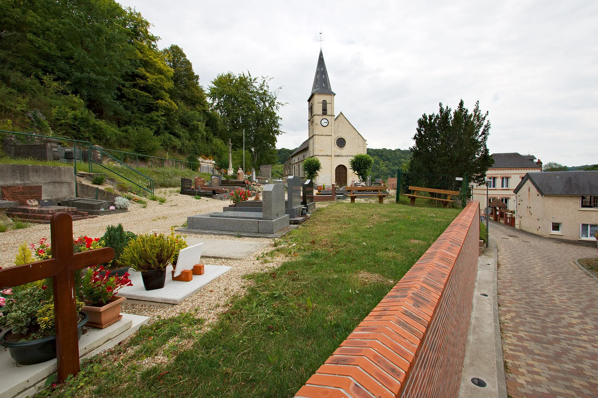
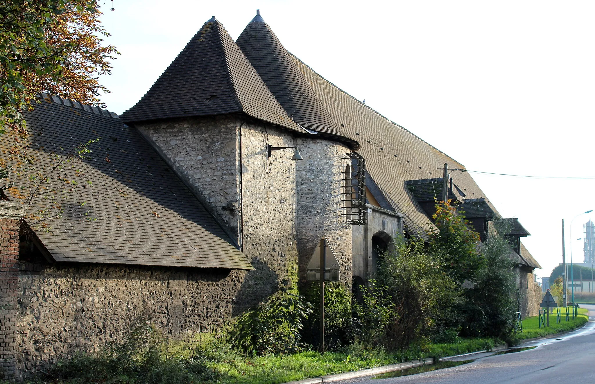
Saint-Jacques-sur-DarnétalVillagePass through Saint-Jacques-sur-Darnétal and admire its rustic charm and idyllic countryside.
20 km
20 km
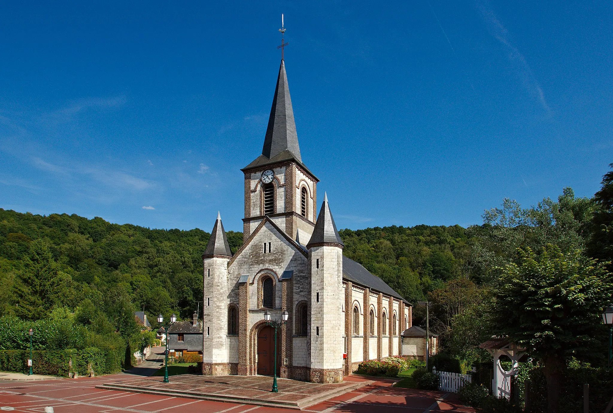
YmareVillageVisit Ymare, a small village known for its peaceful surroundings and picturesque landscapes.
27 km
27 km
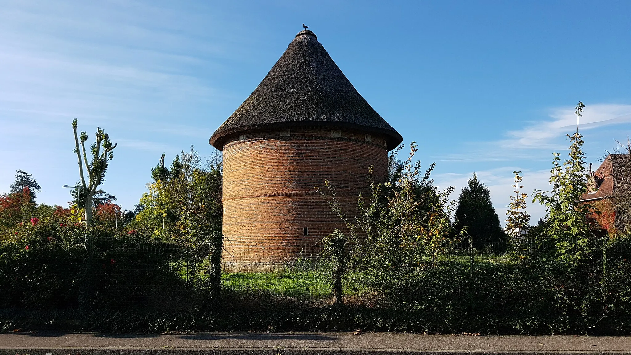
Tourville-la-RivièreVillageExplore Tourville-la-Rivière, an enchanting town with its quaint architecture and scenic river views.
29 km
29 km
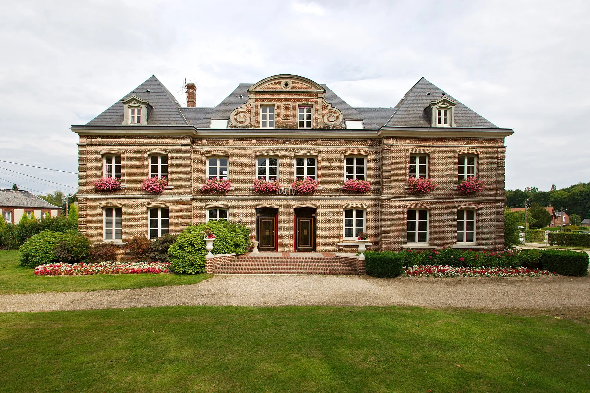
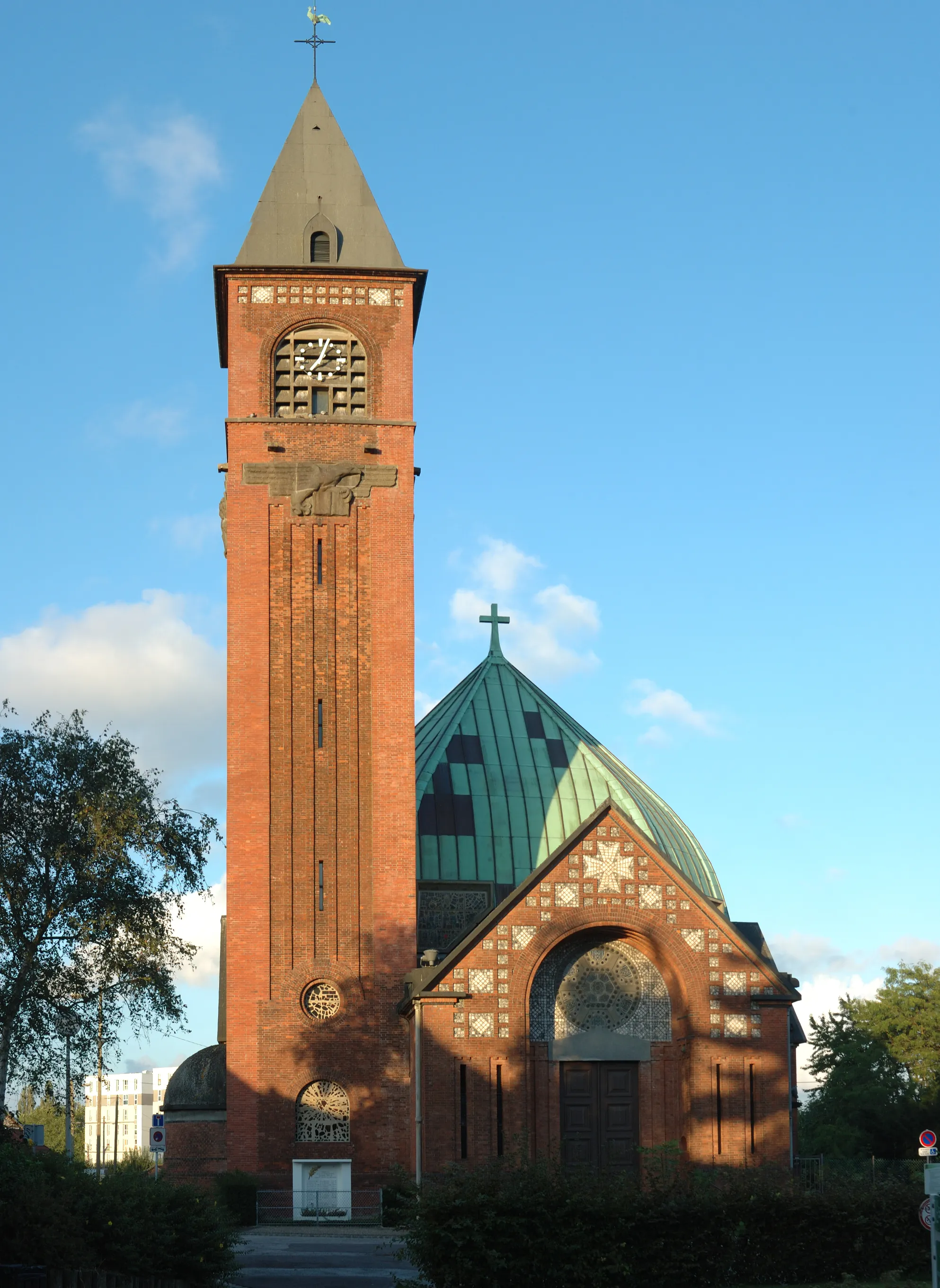
Mairie OisselViewpointDiscover Mairie Oissel, a historic town hall with its impressive architecture and intriguing history.
42 km
42 km
Tour Jeanne d'ArcCastleWitness the iconic Tour Jeanne d'Arc, a famous landmark located in a scenic part of the route.
44 km
44 km
Mont Fortin144 mPeakExperience the challenge of climbing Mont Fortin, a gravel road renowned among cyclists for its tough ascent and stunning views.
50 km
50 km
IsneauvilleVillageExplore Isneauville and its charming countryside, featuring rolling hills and scenic routes.
57 km
57 km
Finish: Préaux Village centerPréaux: Discover the rolling hills and scenic landscapes of Préaux as you explore its cycling routes.
Cycling routes from Preaux:
Cycling routes nearby: