Val-Freneuse and Mont-Saint-Aignan Exploration
A road cycling route starting from Preaux
Experience the charm of Val-Freneuse and panoramic views from Mont-Saint-Aignan on this cycling adventure.
Map
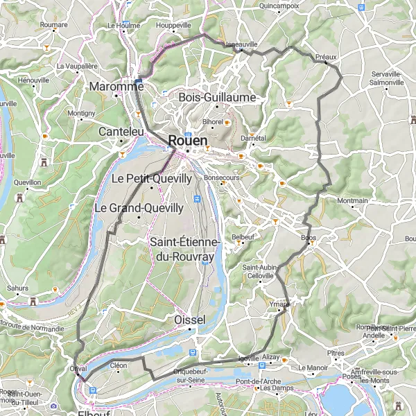
Immerse yourself in the extraordinary beauty of Haute-Normandie with this cycling route near Préaux. With a difficulty level of 4 and a distance of 77 km, this route offers both thrilling climbs and scenic views that will leave you in awe.
road
77 km
612 m
Tough
Route profile
Highlights on the route
0 km
0 km
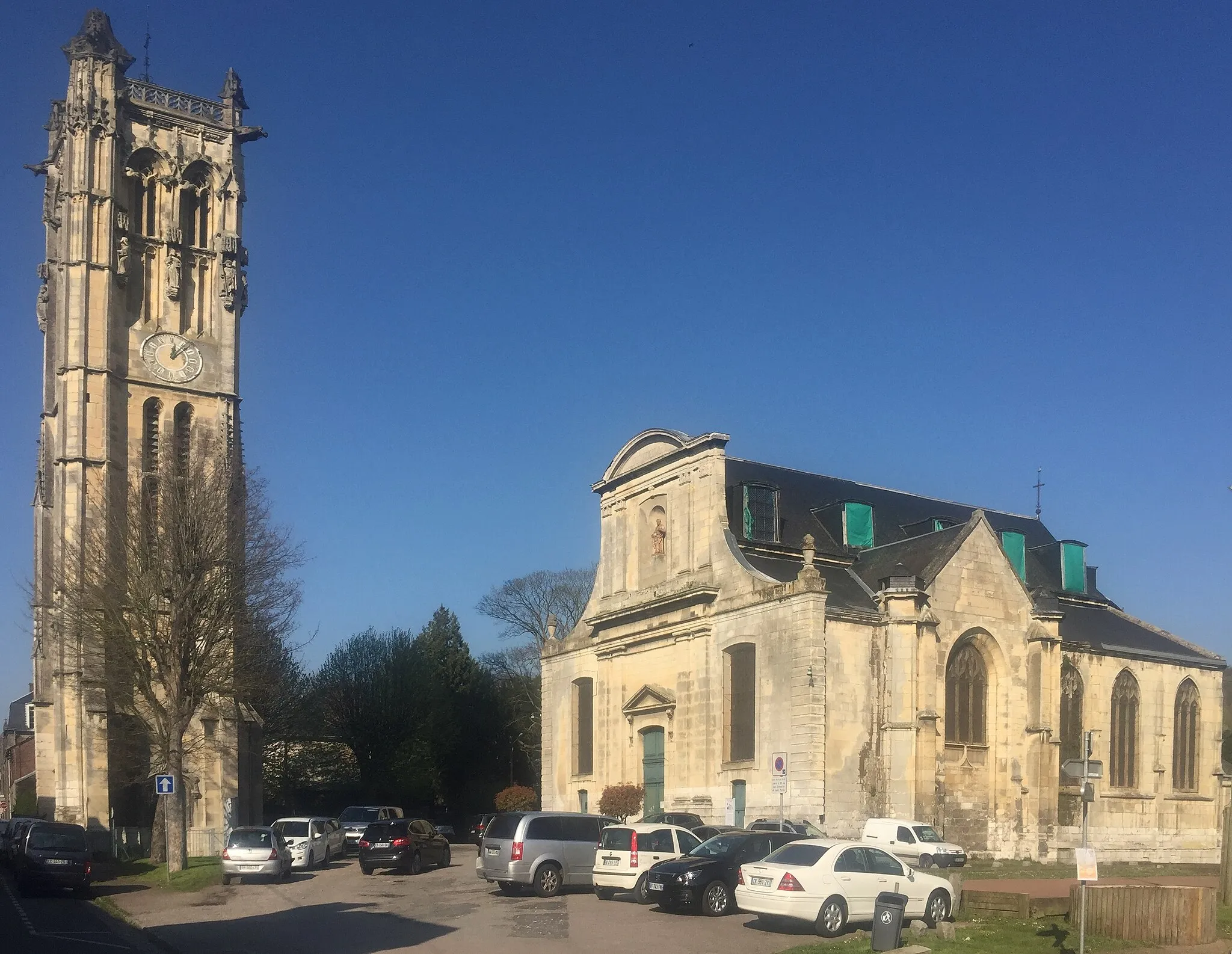
Start: Préaux Village centerPréaux: Discover the rolling hills and scenic landscapes of Préaux as you explore its cycling routes.
Préaux is a small town located in the Haute-Normandie region of France. As a cyclist, you'll appreciate the charm and natural beauty that Préaux has to offer. The area is known for its rolling hills and picturesque landscapes, providing a delightful experience for road and gravel cycling. One of the most famous cycling routes nearby is the Avenue Verte, which connects Paris to London and offers stunning views along the way. With its cycling-friendly atmosphere and scenic routes, Préaux is a must-visit destination for cyclists of all levels.7 km
7 km
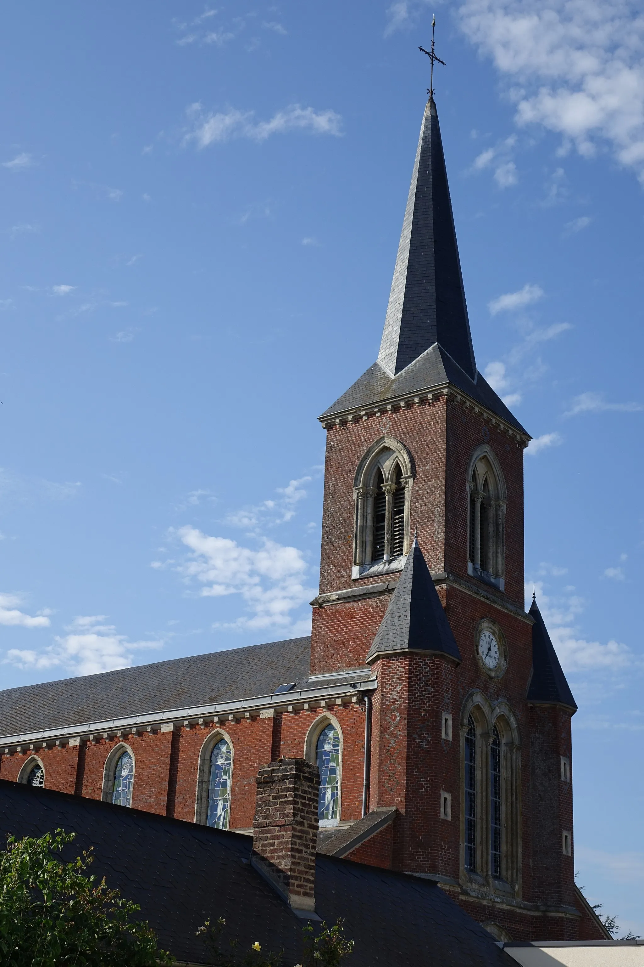
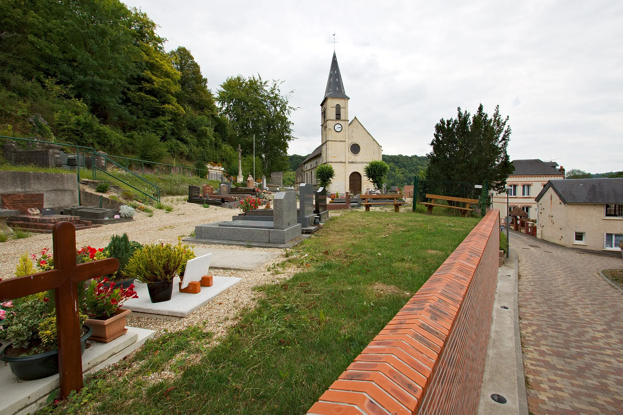
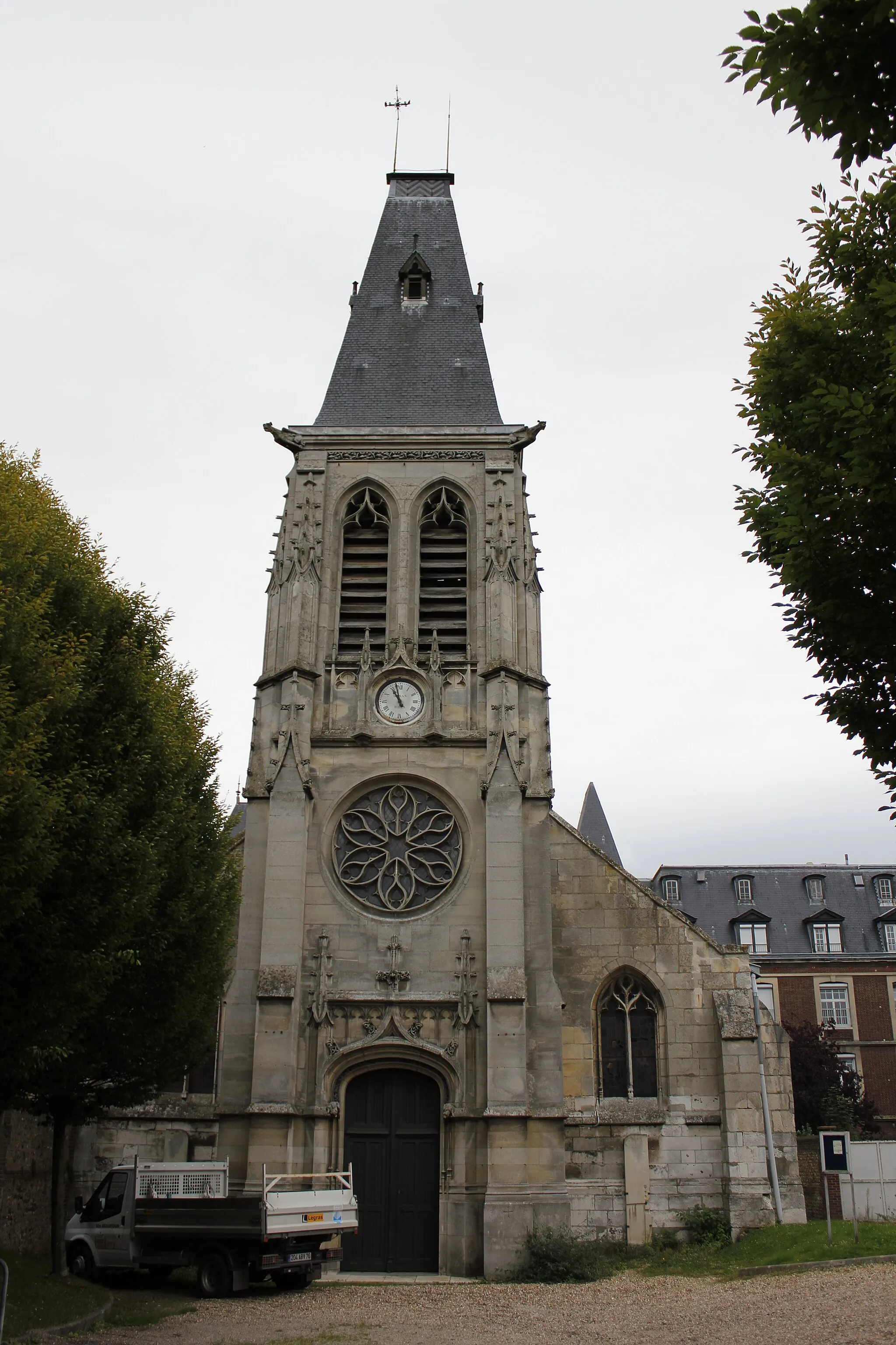
Saint-Jacques-sur-DarnétalVillagePass by the enchanting Saint-Jacques-sur-Darnétal, a small village known for its beautiful church, at the 7 km mark.
29 km
29 km
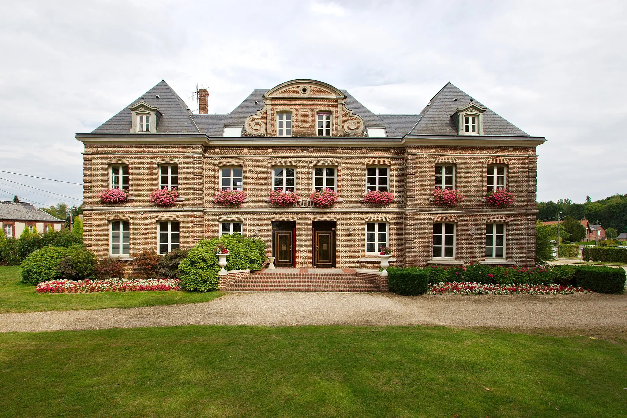
Château de Val-FreneuseCastleVisit the impressive Val-Freneuse Castle, located at the 29 km mark, and explore its well-preserved historic architecture and extensive grounds.
43 km
43 km
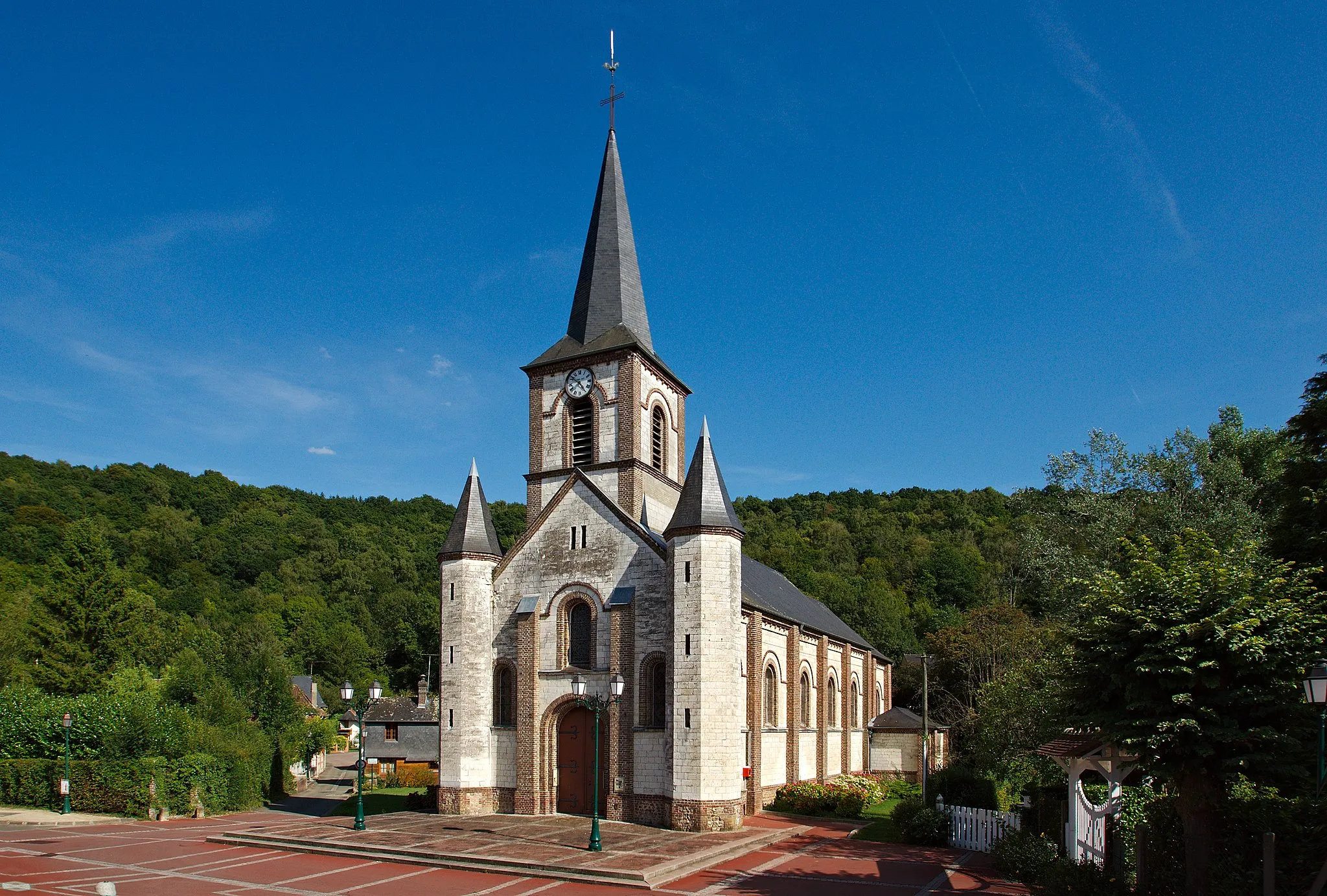
Grand-CouronneVillageEnjoy the scenic beauty of Grand-Couronne at the 43 km mark, with its charming countryside landscapes and peaceful ambiance.
58 km
58 km
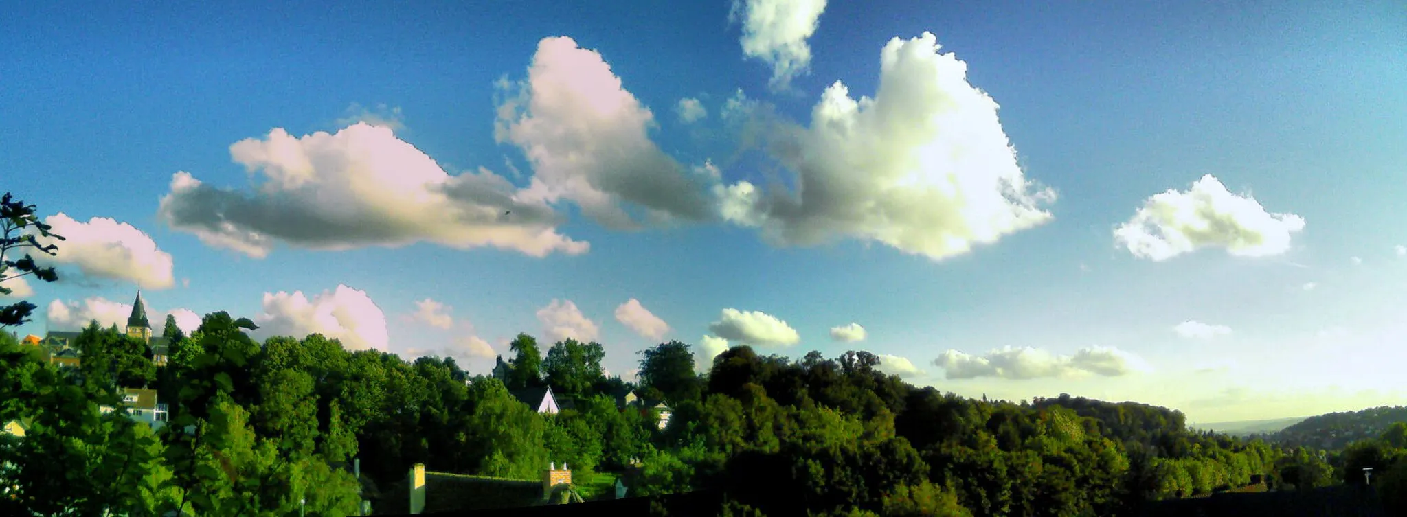
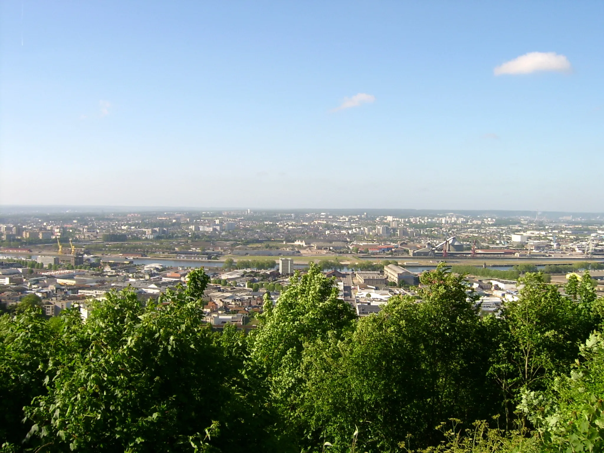
Panorama de Mont-Saint-AignanViewpointTake a moment to soak in the breathtaking panoramic views of Mont-Saint-Aignan from the viewpoint located at the 58 km mark.
60 km
60 km
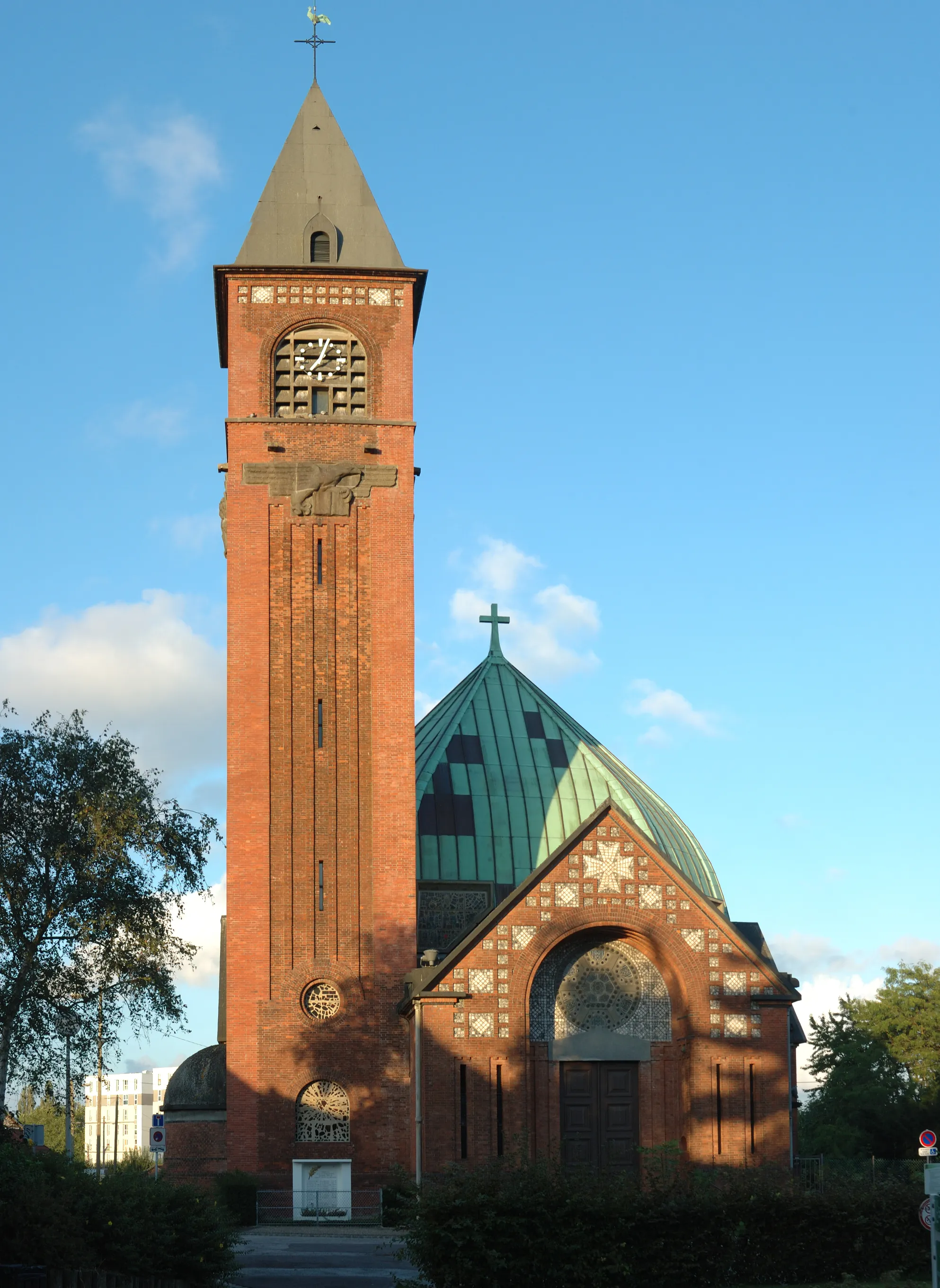
Déville-lès-RouenTownCycle through Déville-lès-Rouen, a picturesque suburb city famous for its historic buildings and tranquil atmosphere, at the 60 km mark.
71 km
71 km
IsneauvilleVillageExplore the beautiful town of Isneauville, surrounded by scenic landscapes and offering a peaceful retreat, located at the 71 km mark.
77 km
77 km
Finish: Préaux Village centerPréaux: Discover the rolling hills and scenic landscapes of Préaux as you explore its cycling routes.
Cycling routes from Preaux:
Cycling routes nearby: