Panoramic Rouen East Loop
A road cycling route starting from Preaux
An exhilarating ride through the picturesque countryside near Préaux, with stunning panoramic views of Rouen.
Map
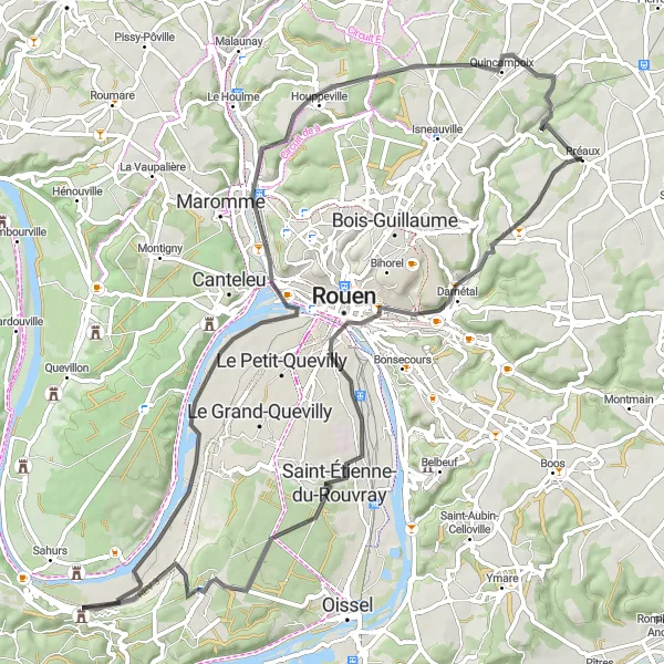
Experience the beauty of Haute-Normandie on this scenic cycling route that takes you through charming villages and offers breathtaking views of Rouen from the east. With a moderate difficulty level and a length of 74 km, it is perfect for well-trained amateur cyclists.
road
74 km
492 m
Tough
Route profile
Highlights on the route
0 km
0 km
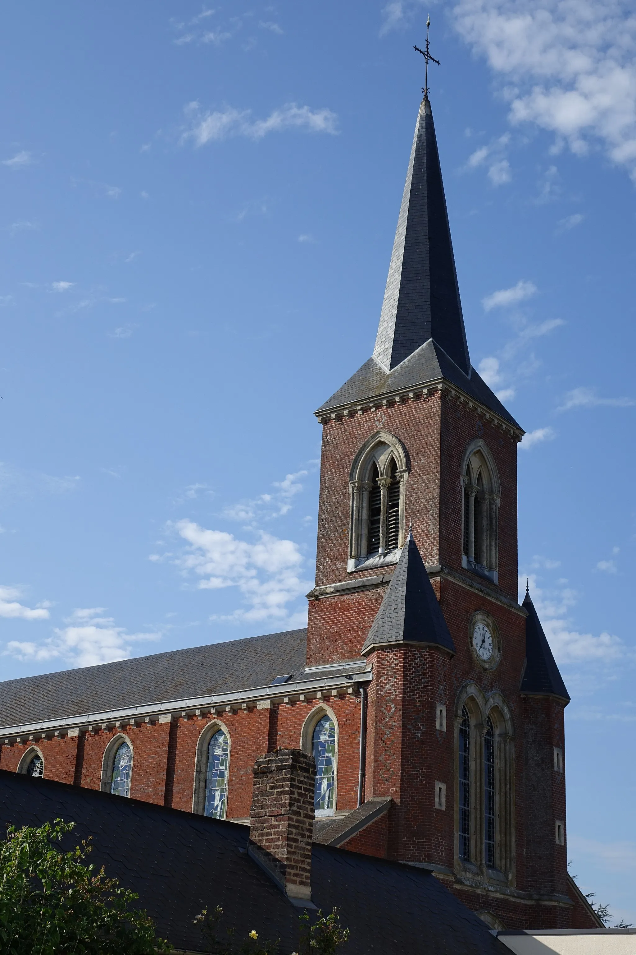
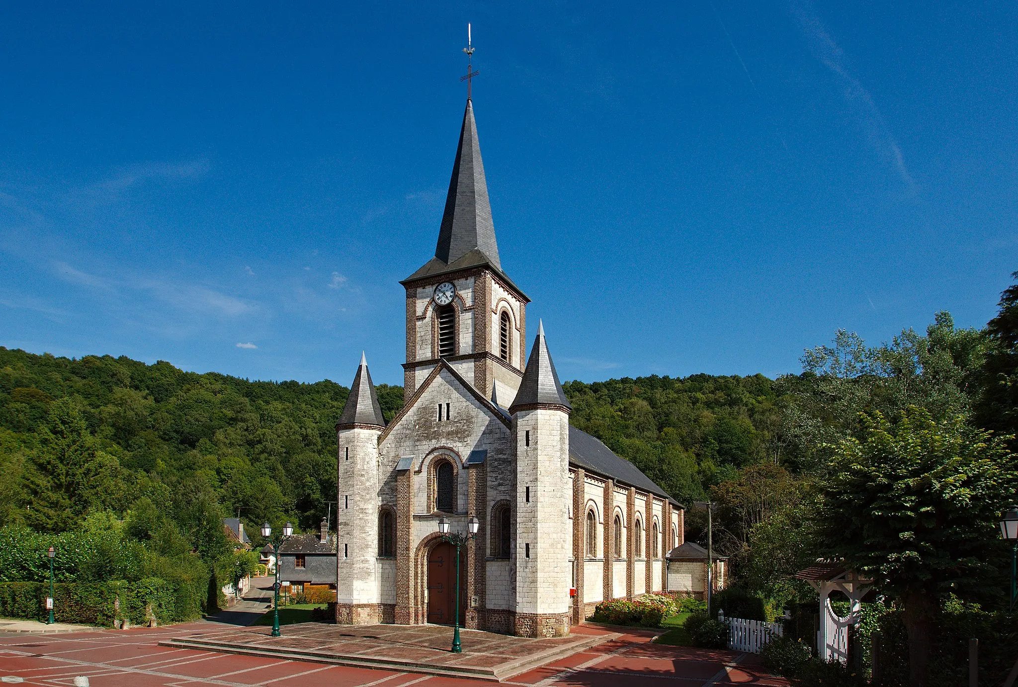
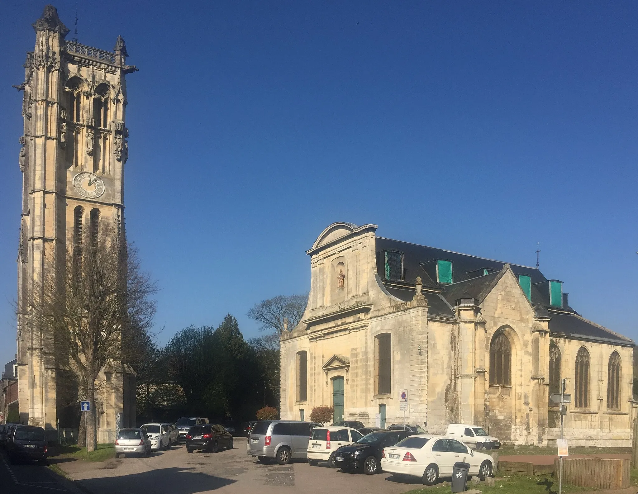
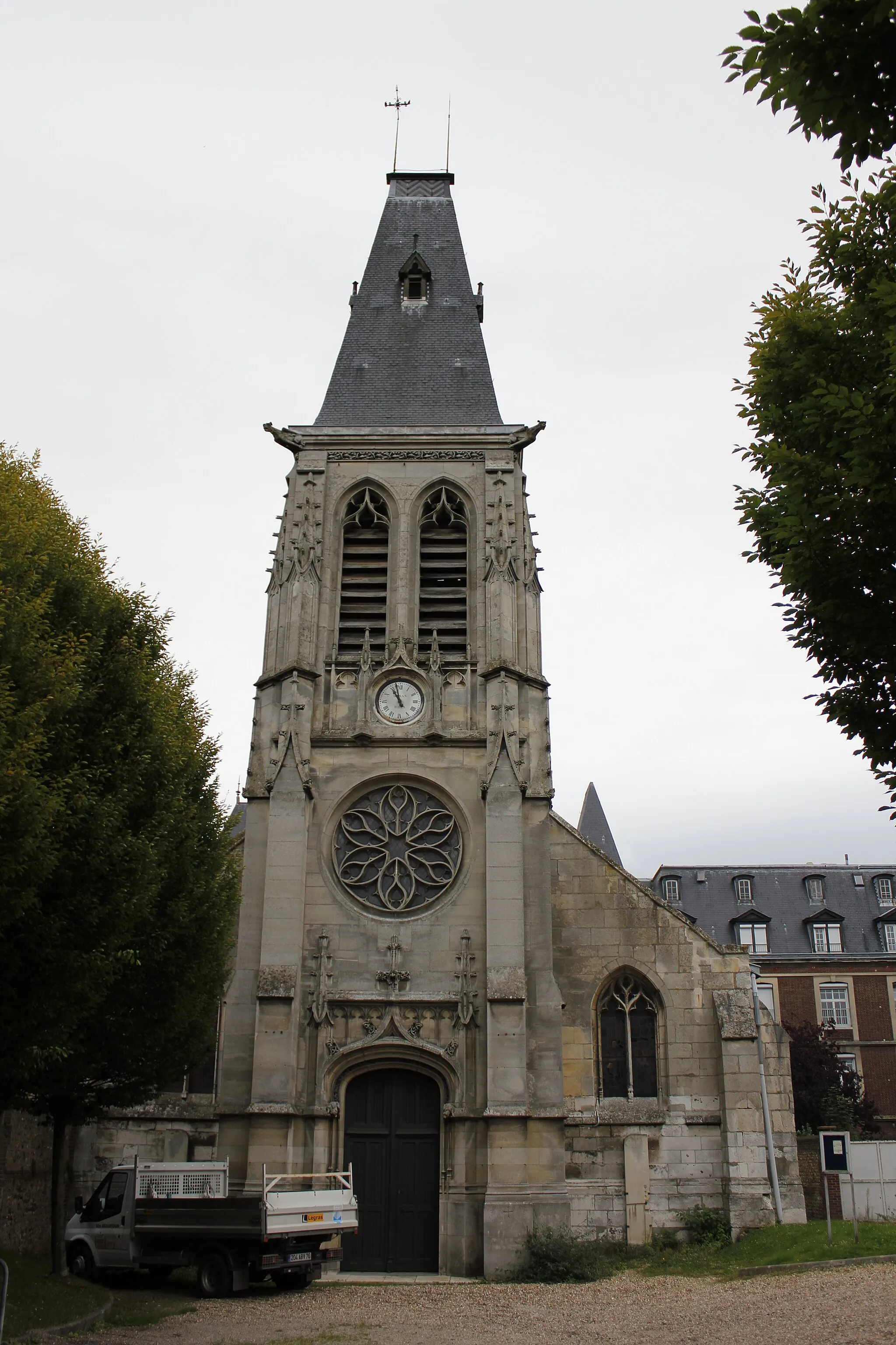
Start: Préaux Village centerPréaux: Discover the rolling hills and scenic landscapes of Préaux as you explore its cycling routes.
Préaux is a small town located in the Haute-Normandie region of France. As a cyclist, you'll appreciate the charm and natural beauty that Préaux has to offer. The area is known for its rolling hills and picturesque landscapes, providing a delightful experience for road and gravel cycling. One of the most famous cycling routes nearby is the Avenue Verte, which connects Paris to London and offers stunning views along the way. With its cycling-friendly atmosphere and scenic routes, Préaux is a must-visit destination for cyclists of all levels.11 km
11 km
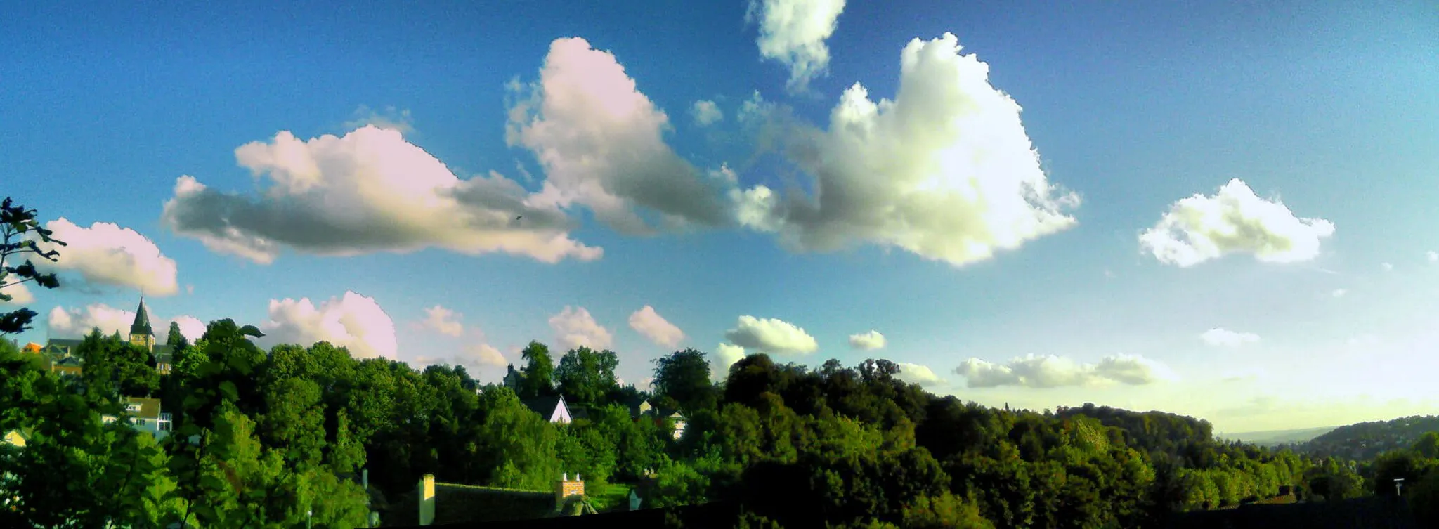
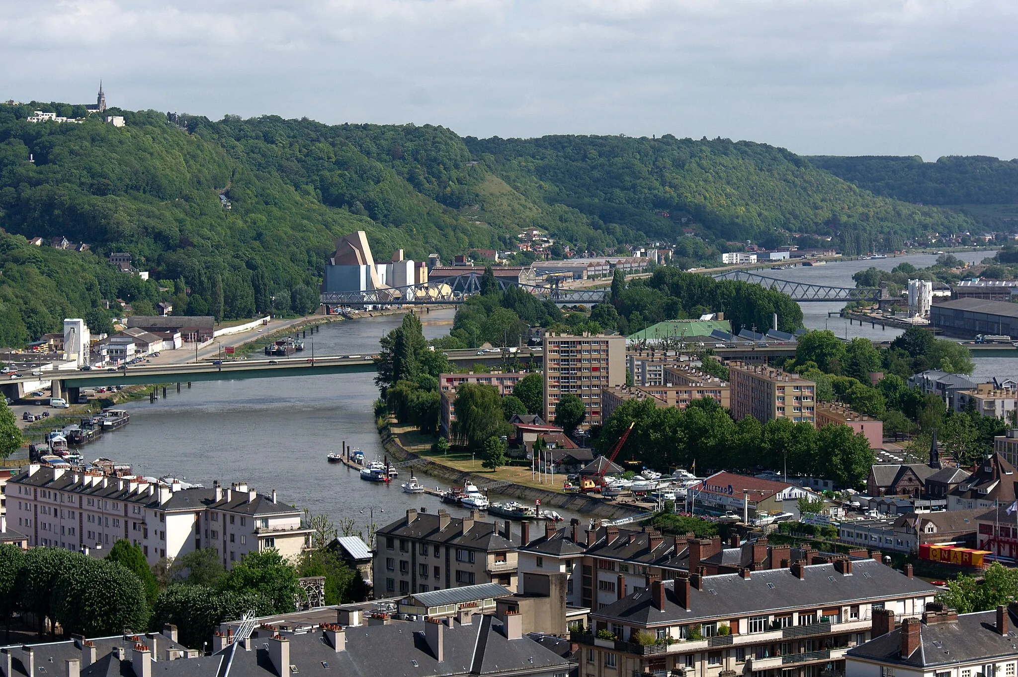
Panorama Rouen EstViewpointAt 11 km into the route, enjoy the Panorama Rouen Est viewpoint, offering a stunning panoramic view of Rouen and its unique architectural beauty.
12 km
12 km
Ancre de la Jeanne d'ArcAttractionVisit the Ancre de la Jeanne d'Arc, a significant historical site in Rouen associated with Joan of Arc, located 12 km into the route.
30 km
30 km
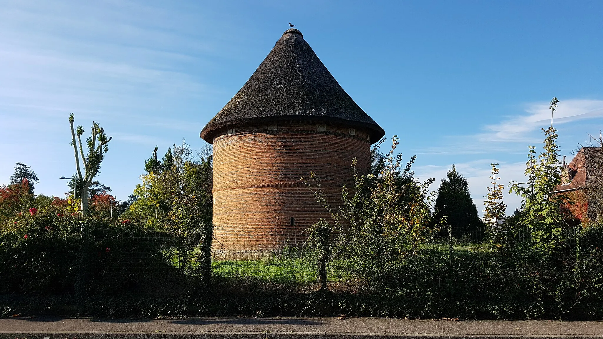
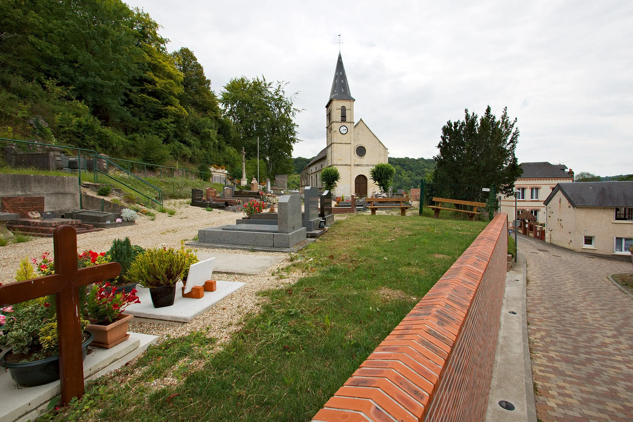
Grand-CouronneVillagePass by the charming village of Grand-Couronne at the 30 km mark, known for its beautiful traditional houses and tranquil atmosphere.
39 km
39 km
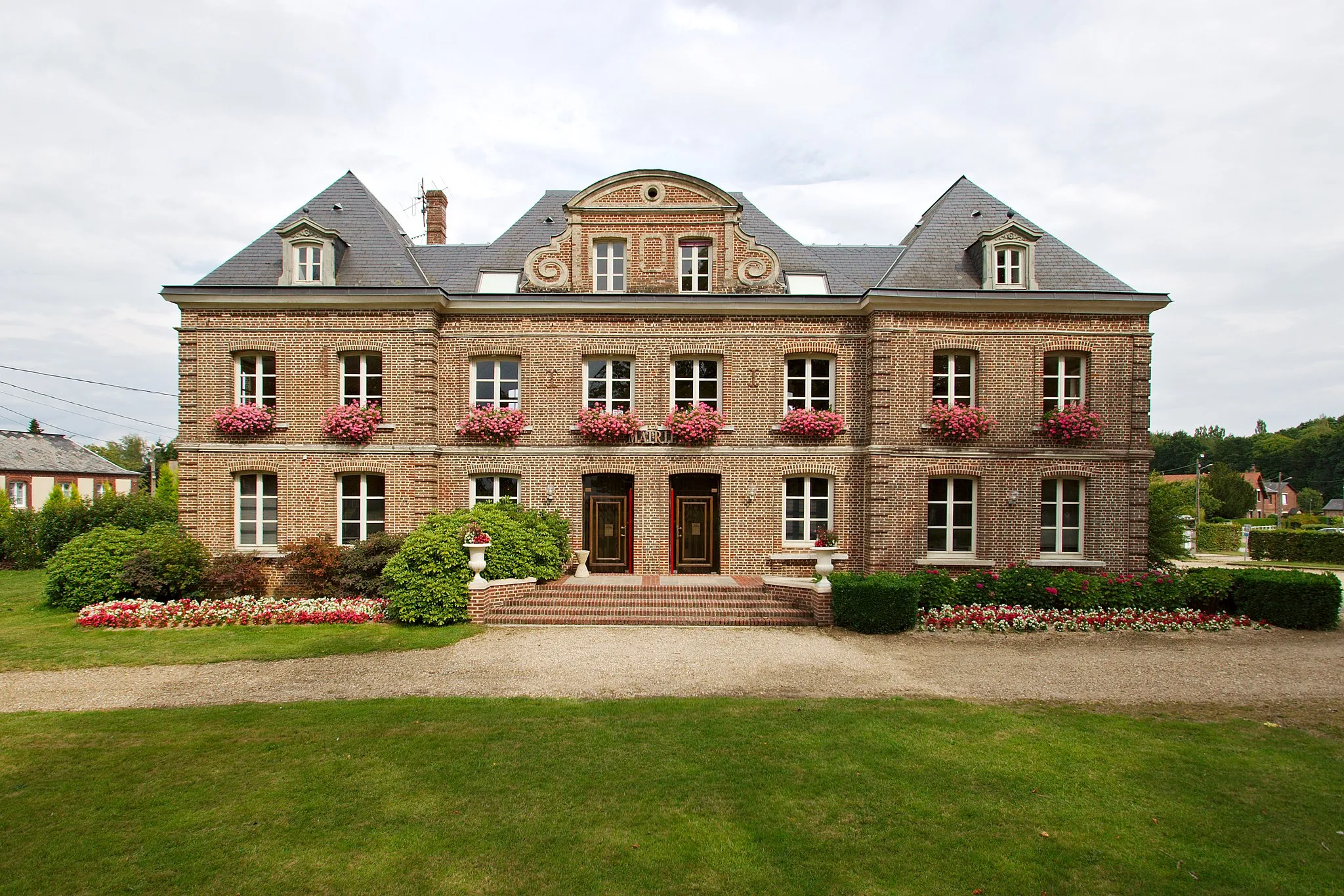
Val-de-la-HayeVillageAt 39 km, discover Val-de-la-Haye, a peaceful town located on the banks of the Seine River, famous for its picturesque landscapes and stone houses.
53 km
53 km
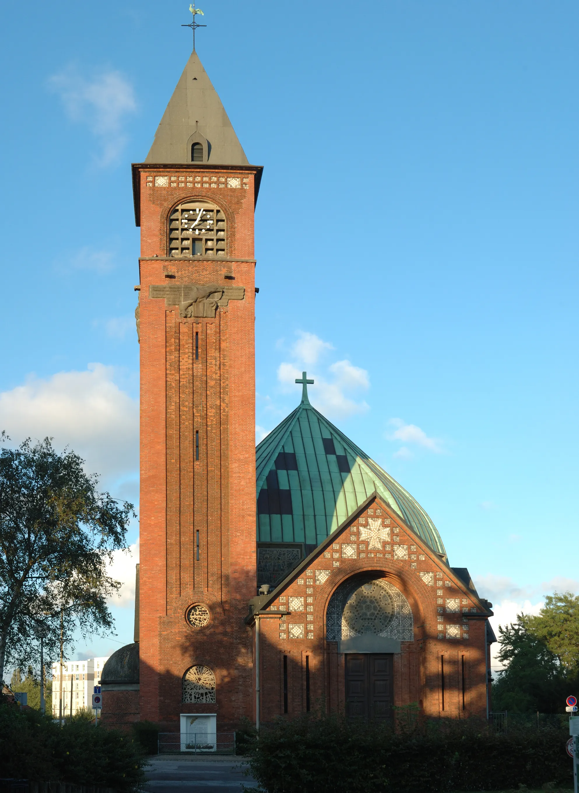
Déville-lès-RouenTownCycle through Déville-lès-Rouen, a lovely suburb city with a rich industrial history, at the 53 km mark.
66 km
66 km
QuincampoixVillageQuincampoix, situated at 66 km, is a small village known for its rural charm and surrounded by beautiful natural landscapes.
74 km
74 km
Finish: Préaux Village centerPréaux: Discover the rolling hills and scenic landscapes of Préaux as you explore its cycling routes.
Cycling routes from Preaux:
Cycling routes nearby: