Thrilling Gravel Adventure with Challenging Climbs
A gravel cycling route starting from Signes
Embark on an epic gravel adventure through Signes and its surroundings
Map
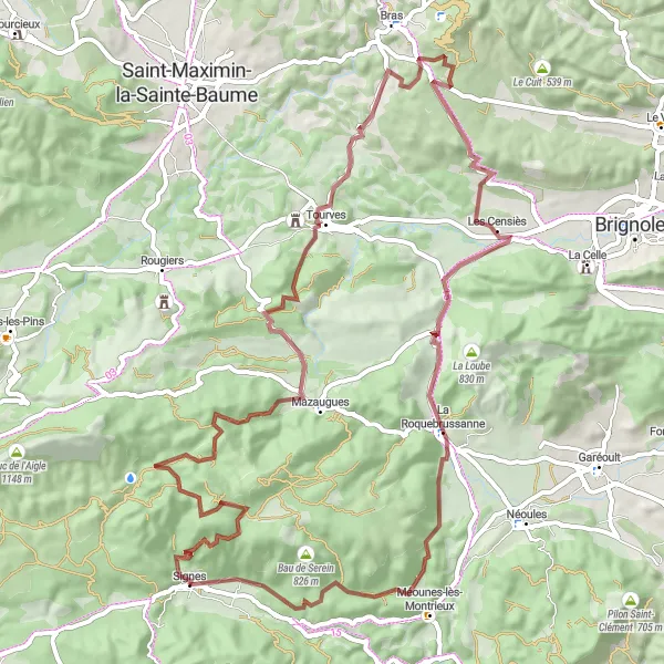
Get ready for an adrenaline-pumping gravel adventure near Signes. This 77-kilometer route with an ascent of 1519 meters promises to keep you on the edge of your seat. Highlights include Le Mourre d'Agnis, Casteleret, and Château de Valbelle, each offering unique attractions to add excitement to your ride. From rugged terrain to stunning viewpoints, this route showcases the untamed beauty of Provence-Alpes-Côte d'Azur. Suitable for experienced gravel cyclists seeking a thrilling challenge, this route will leave you in awe of the region's diverse landscapes and rugged charm.
gravel
77 km
1519 m
Tough
Route profile
Highlights on the route
0 km
0 km
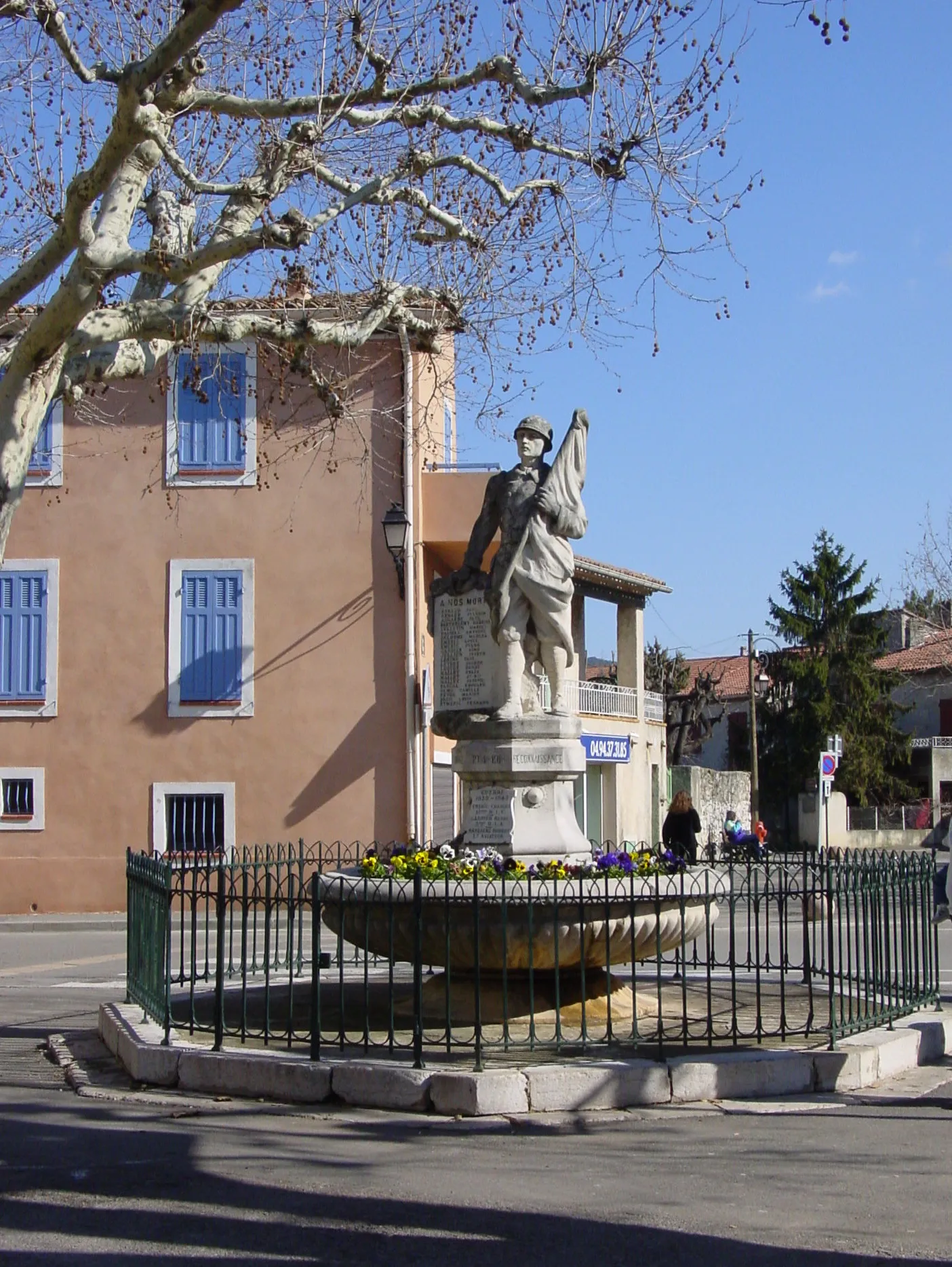
Start: Signes Village centerSignes: Cycling Paradise in Provence-Alpes-Côte d’Azur
Signes is a small locality located in the Provence-Alpes-Côte d’Azur region of France. From a cyclist's perspective, Signes offers picturesque landscapes and challenging terrain that makes it a popular destination for road and gravel cyclists. With its winding roads and hilly routes, Signes provides a thrilling cycling experience. Additionally, Signes is surrounded by famous cycling spots such as the Col de Signes, a well-known climb often included in professional races. Overall, Signes is a great locality for cyclists with its beautiful scenery and challenging routes.0 km
0 km
SignesVillageSignes, the starting point of this gravel adventure, holds historical charm and serves as the perfect gateway to explore the rugged landscapes that await you.
10 km
10 km
Le Mourre d'Agnis919 mPeakLe Mourre d'Agnis boasts remarkable panoramic vistas that make the challenging climb worthwhile. Take a moment to catch your breath while basking in the stunning natural beauty.
26 km
26 km
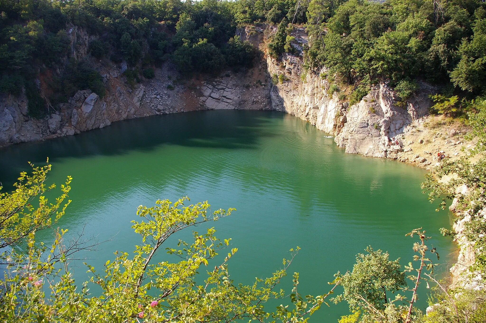
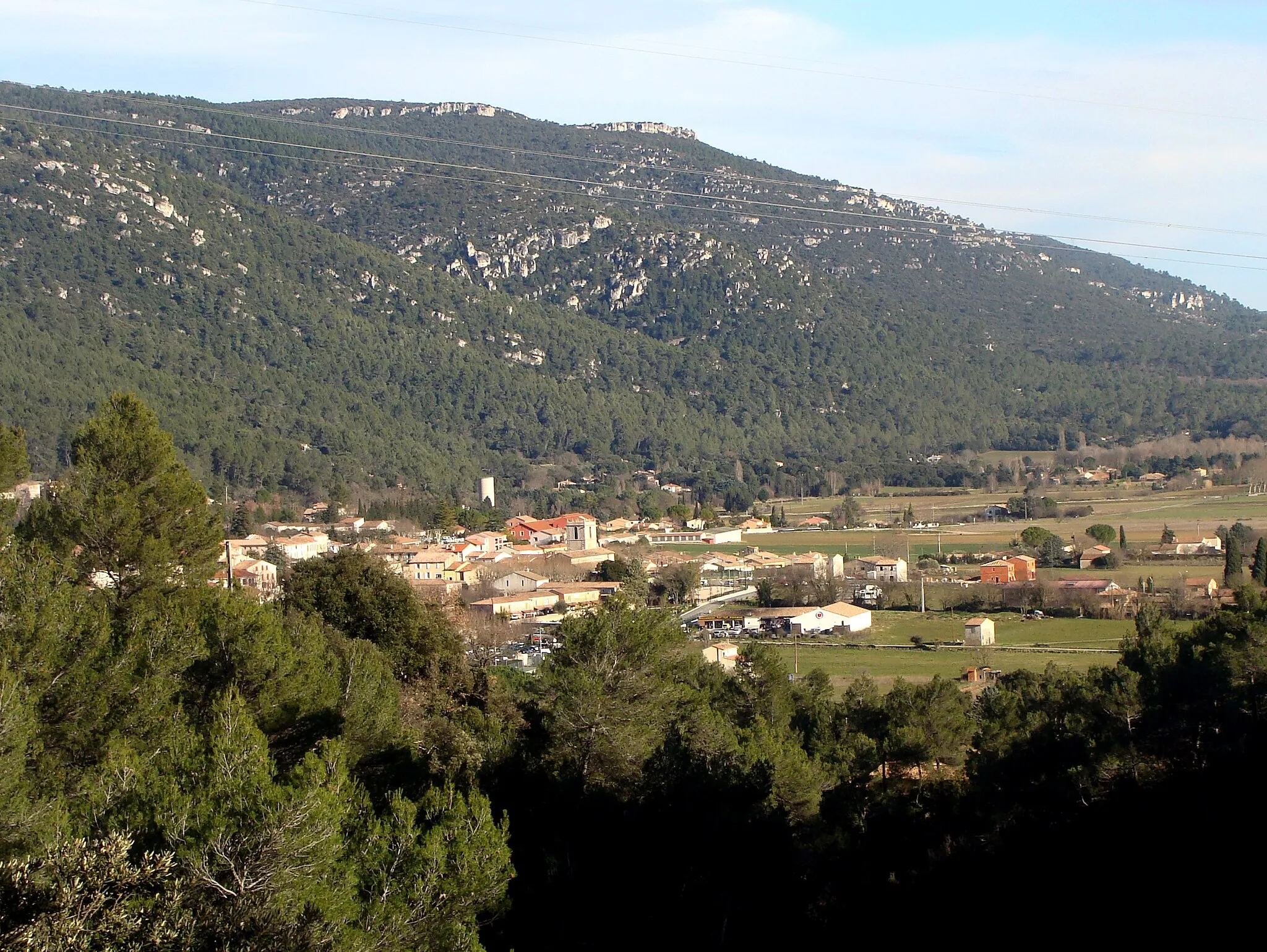
Casteleret486 mRuinsCasteleret offers an off-road paradise, where gravel enthusiasts can rejoice in the challenging terrain and extraordinary surroundings. Be prepared for an adventure like no other.
30 km
30 km
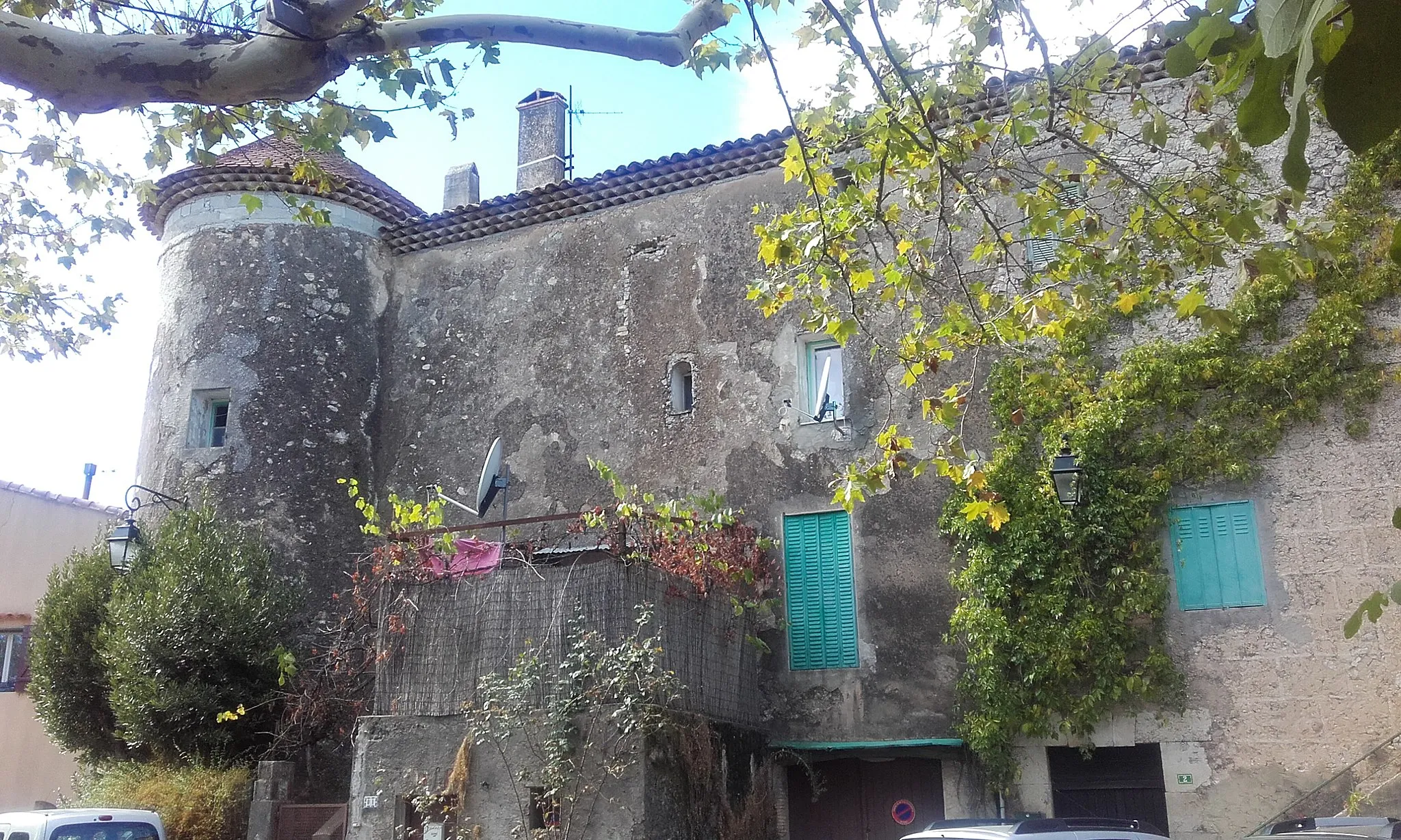
Château de ValbelleCastleChâteau de Valbelle presents a breathtaking viewpoint that rewards you with magnificent sights. Take the opportunity to capture the view and create lasting memories of your gravel journey.
45 km
45 km
Col des Quatre Termes388 mMountain PassCol des Quatre Termes will push your gravel biking abilities to the limit, offering an exhilarating climb and rewarding you with spectacular vistas of the surrounding countryside.
60 km
60 km
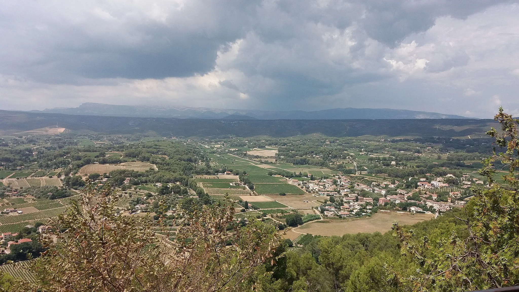
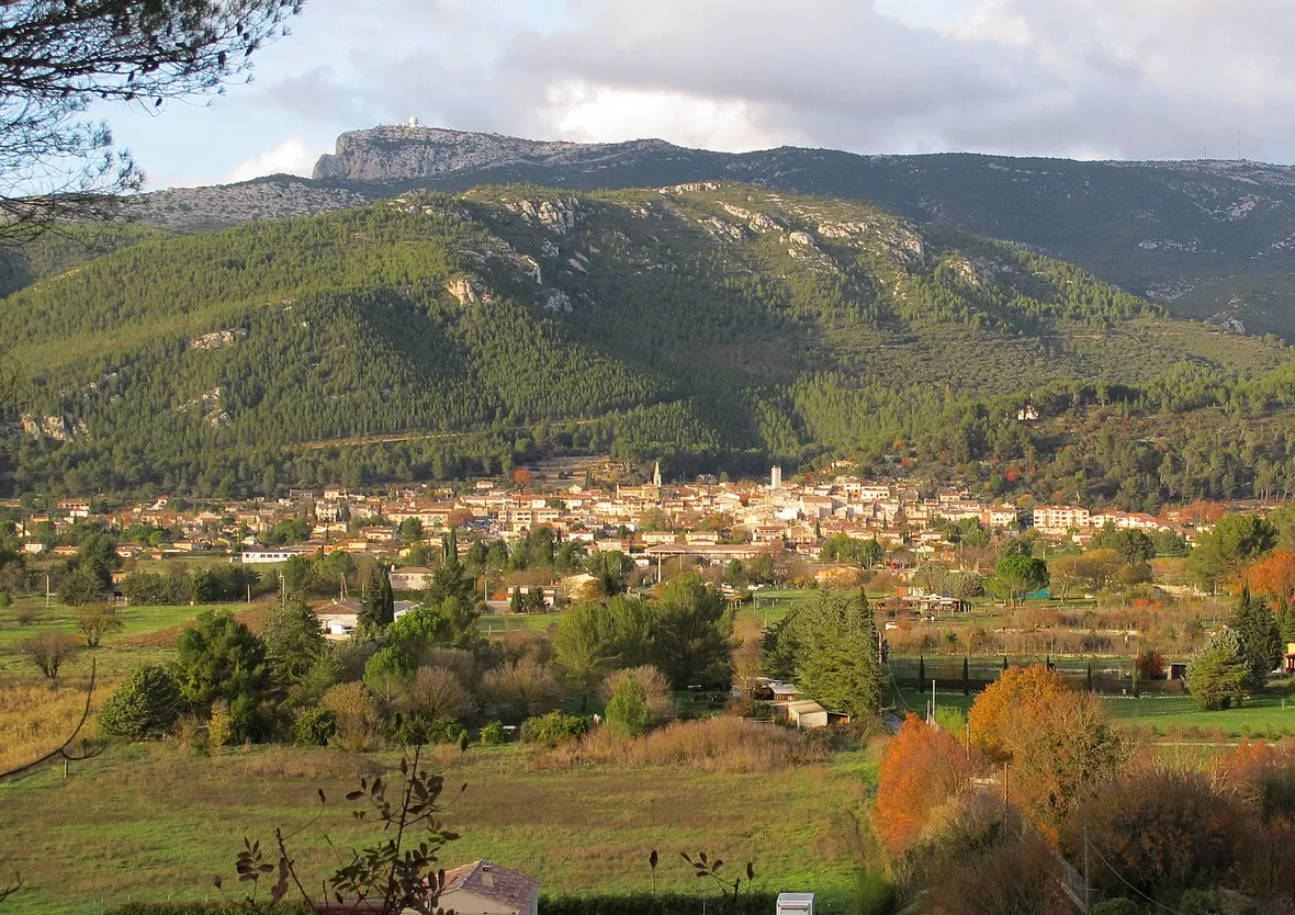
La RoquebrussanneVillageLa Roquebrussanne showcases the authentic landscapes of Provence, with gravel roads meandering through picturesque vineyards and rolling hills. Take a break here and embrace the rural tranquility.
72 km
72 km
Le Bas Cauvet417 mPeakLe Bas Cauvet is a hidden gem waiting to be discovered. Remote and captivating, this gravel area boasts unique natural features and an untamed allure.
77 km
77 km
Finish: Signes Village centerSignes: Cycling Paradise in Provence-Alpes-Côte d’Azur
Cycling routes from Signes:
Gravel Adventure through Provence Uncover Hidden Gems: Provence's Scenic Road Cycling Scenic Gravel Ride: Signes Exploration Gravel Adventure in Provence Climbing Challenge: Provençal Hills and Villages Road Loop through Provence-Alpes-Côte d'Azur Countryside Scenic Road Loop with Challenging Climbs Picturesque Road Cycling Loop near Signes Thrilling Gravel Adventure with Challenging Climbs Gravel Loop through Signes and Surrounding Areas
Cycling routes nearby: