Picturesque Road Cycling Loop near Signes
A road cycling route starting from Signes
Experience the beauty of Provence-Alpes-Côte d'Azur on this serene road cycling route
Map
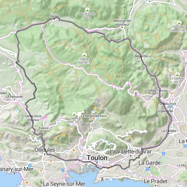
Escape into the peaceful countryside with this road cycling route near Signes. Covering a distance of 74 kilometers and featuring an ascent of 741 meters, this picturesque route is ideal for cyclists seeking a tranquil ride amidst stunning landscapes. Highlights include Pey Crestian, Belgentier, and Ollioules, each providing you with charming spots to relax and soak in the region's beauty. From rolling hills to authentic Provençal villages, this route captures the essence of Provence-Alpes-Côte d'Azur's cycling allure.
road
74 km
741 m
Chill
Route profile
Highlights on the route
0 km
0 km
Start: Signes Village centerSignes: Cycling Paradise in Provence-Alpes-Côte d’Azur
Signes is a small locality located in the Provence-Alpes-Côte d’Azur region of France. From a cyclist's perspective, Signes offers picturesque landscapes and challenging terrain that makes it a popular destination for road and gravel cyclists. With its winding roads and hilly routes, Signes provides a thrilling cycling experience. Additionally, Signes is surrounded by famous cycling spots such as the Col de Signes, a well-known climb often included in professional races. Overall, Signes is a great locality for cyclists with its beautiful scenery and challenging routes.3 km
3 km
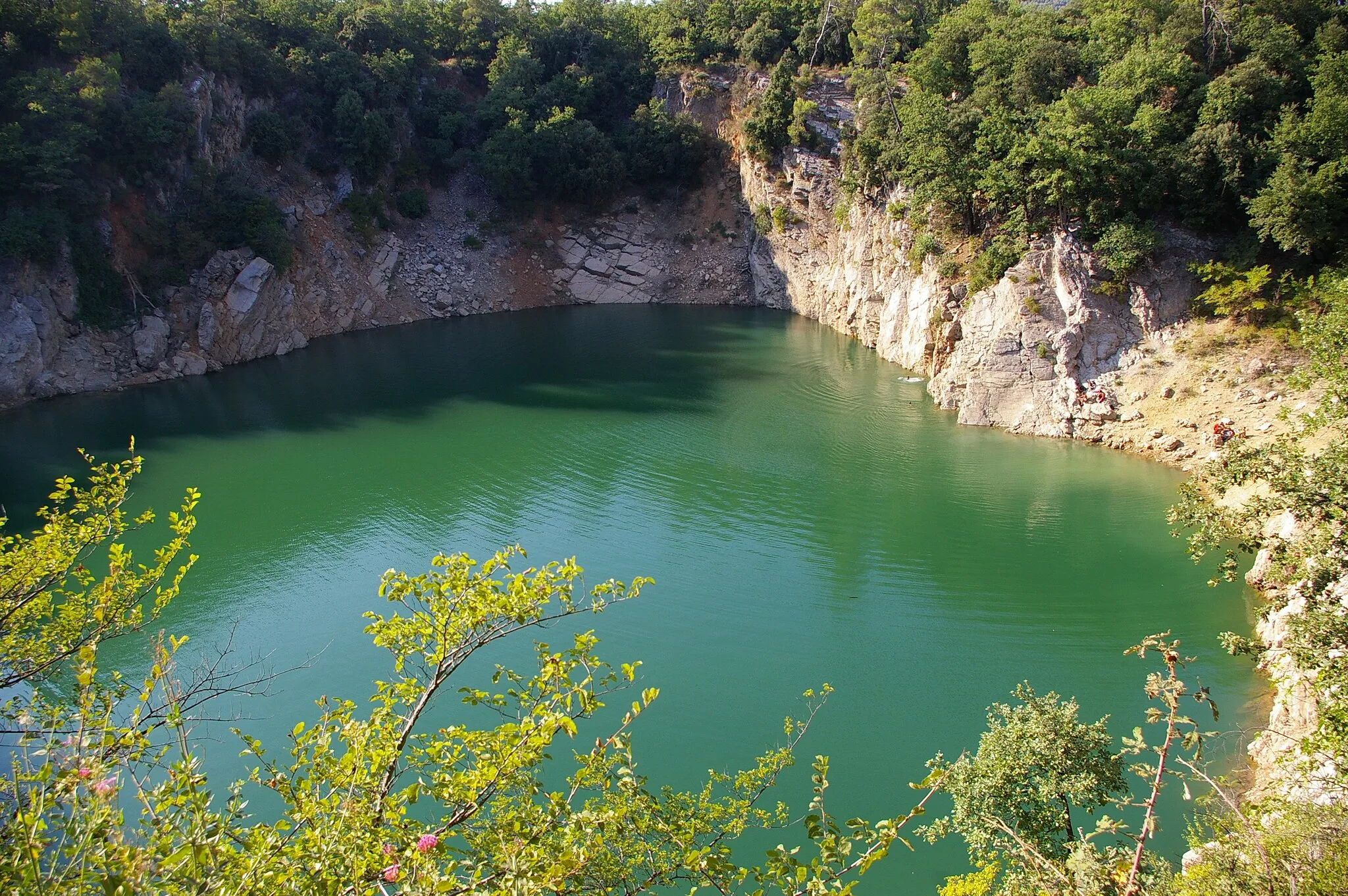
Pey Crestian364 mPeakPey Crestian offers fantastic views and lush landscapes, making it an excellent spot to take a break and catch your breath. Enjoy the tranquility before continuing your ride.
15 km
15 km
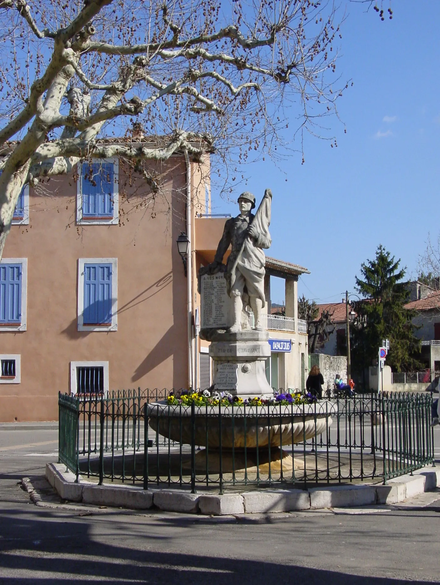
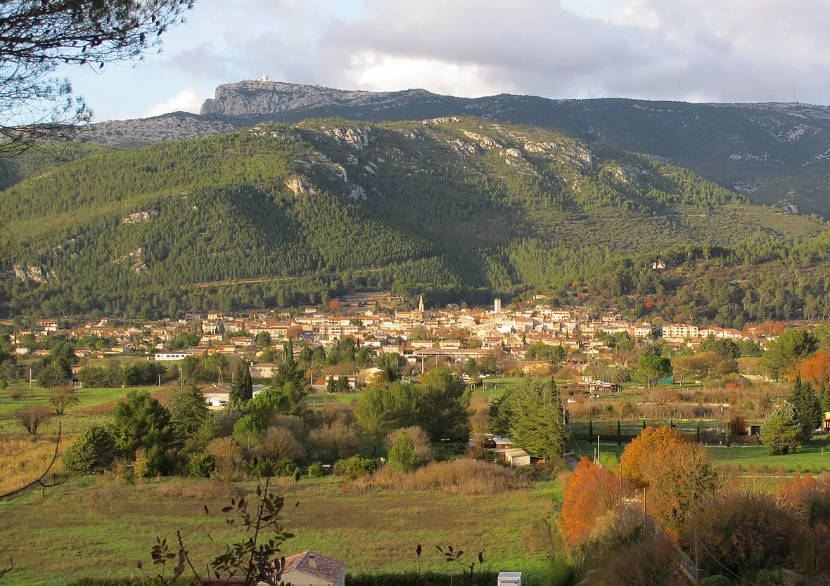
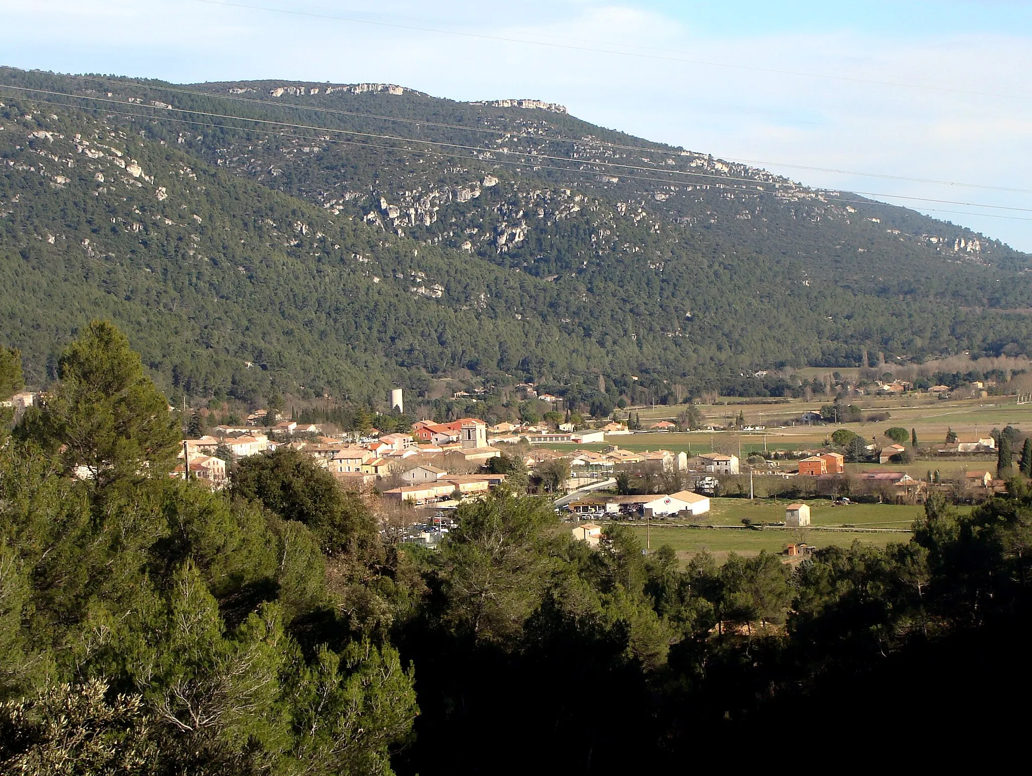
BelgentierVillageBelgentier is a hidden gem along the route. Appreciate the idyllic surroundings and take a moment to visit the old bridge, which adds charm to this already picturesque village.
23 km
23 km
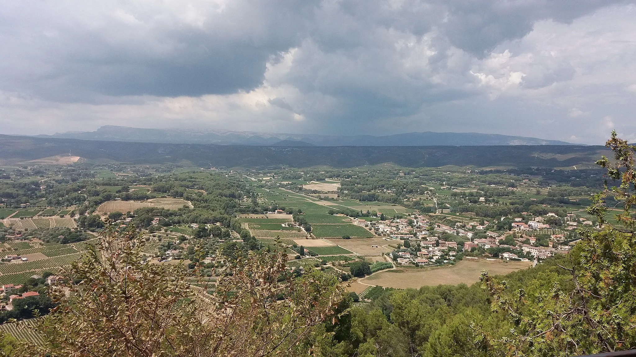
Table d'orientationViewpointTable d'orientation is a viewpoint worth visiting for a panoramic view of the countryside. Take a moment to admire the sweeping landscapes before descending back onto the road.
26 km
26 km
La FarlèdeVillageLa Farlède is a small town that offers a peaceful ambiance for you to pause and rest. Take a moment to enjoy the scenery before continuing your cycling journey.
40 km
40 km
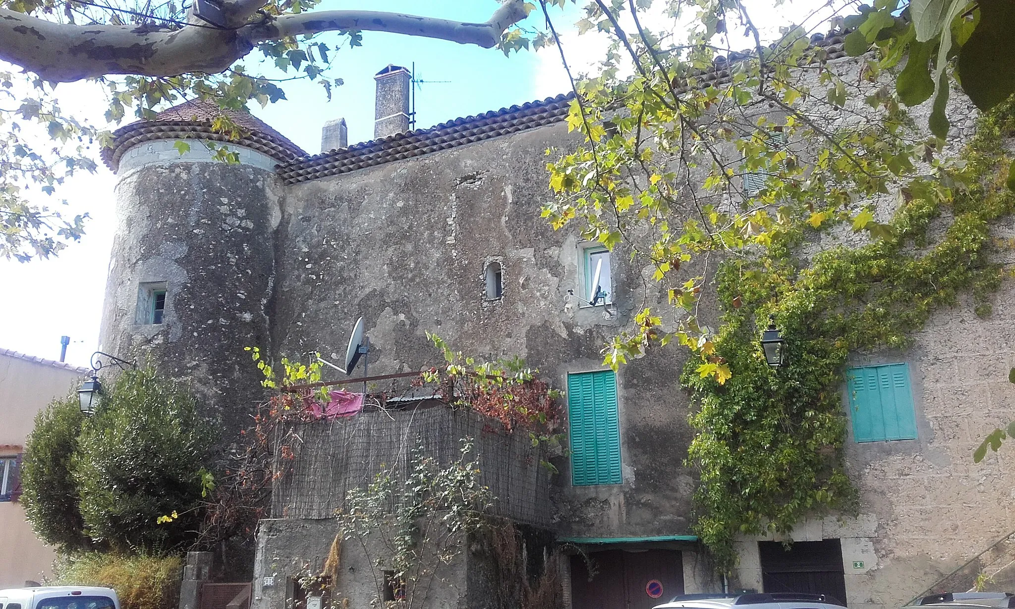
Basse VilleSub-urbBasse Ville is a scintillating historical location along the route. With its rich heritage and charming streets, this spot invites exploration and intrigue.
47 km
47 km
OllioulesTownOllioules is a village that will steal your heart with its old-world charm. Immerse yourself in the local culture and enjoy a peaceful moment under the shade of chestnut trees.
72 km
72 km
Sainte-Croix498 mPeakSainte-Croix is one of the standout highlights of this route. Known for its exceptional beauty, this village offers breathtaking vistas that will leave an indelible mark on your memory.
72 km
72 km
Plan de ChibronHamletPlan de Chibron provides a scenic viewpoint where you can pause and marvel at the natural landscapes before completing the cycle loop.
74 km
74 km
Finish: Signes Village centerSignes: Cycling Paradise in Provence-Alpes-Côte d’Azur
Cycling routes from Signes:
Gravel Adventure through Provence Uncover Hidden Gems: Provence's Scenic Road Cycling Scenic Gravel Ride: Signes Exploration Gravel Adventure in Provence Climbing Challenge: Provençal Hills and Villages Road Loop through Provence-Alpes-Côte d'Azur Countryside Scenic Road Loop with Challenging Climbs Picturesque Road Cycling Loop near Signes Thrilling Gravel Adventure with Challenging Climbs Gravel Loop through Signes and Surrounding Areas
Cycling routes nearby: